Collarstoop Moor
Downs, Moorland in Yorkshire Harrogate
England
Collarstoop Moor
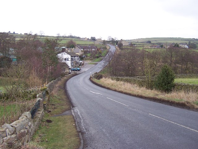
Collarstoop Moor is a picturesque area located in the county of Yorkshire, England. Nestled within the Yorkshire Downs, this vast expanse of moorland offers breathtaking natural beauty and a rich history.
Covering an area of approximately 100 square kilometers, Collarstoop Moor is characterized by rolling hills, heather-covered landscapes, and expansive views that stretch as far as the eye can see. The moorland is dotted with scattered trees and is home to a diverse range of flora and fauna, including wildflowers, grouse, and various bird species. This makes it a popular destination for nature enthusiasts, hikers, and birdwatchers.
The history of Collarstoop Moor is deeply rooted in the region's agricultural heritage. The moorland has been an important grazing area for centuries, with farmers using it for the rearing of livestock, particularly sheep. Evidence of ancient farming practices can still be seen in the form of stone walls and boundary markers that crisscross the landscape.
The moorland also holds historical significance, with remnants of Bronze Age settlements and burial mounds found in the area. These archaeological sites provide insight into the lives of early settlers and add to the appeal of Collarstoop Moor for history buffs.
Overall, Collarstoop Moor offers visitors a tranquil escape from the hustle and bustle of everyday life. Its stunning natural beauty, diverse wildlife, and historical significance make it a must-visit destination for those seeking to explore the Yorkshire Downs and experience the unique charm of the moorland.
If you have any feedback on the listing, please let us know in the comments section below.
Collarstoop Moor Images
Images are sourced within 2km of 54.090338/-1.6674281 or Grid Reference SE2166. Thanks to Geograph Open Source API. All images are credited.


Collarstoop Moor is located at Grid Ref: SE2166 (Lat: 54.090338, Lng: -1.6674281)
Division: West Riding
Administrative County: North Yorkshire
District: Harrogate
Police Authority: North Yorkshire
What 3 Words
///shoebox.cardinal.artichoke. Near Pateley Bridge, North Yorkshire
Nearby Locations
Related Wikis

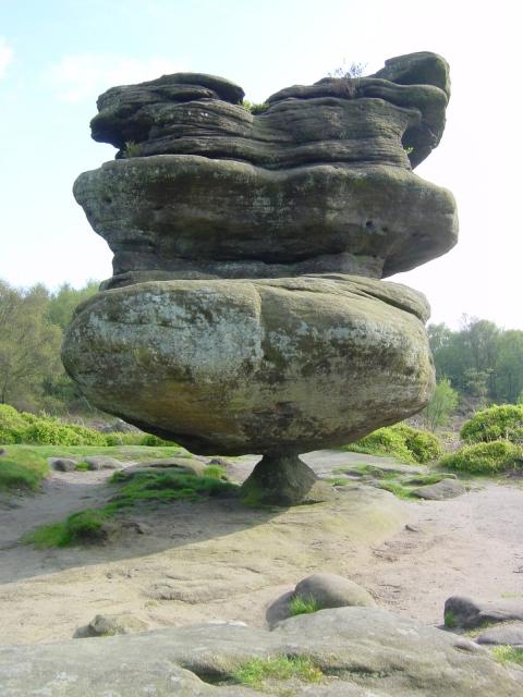
Brimham Rocks
Brimham Rocks, once known as Brimham Crags, is a 183.9-hectare (454-acre) biological Site of Special Scientific Interest (SSSI) and Geological Conservation...

Warsill
Warsill is a settlement and civil parish in the Harrogate district, in the county of North Yorkshire, England. It consists of a few scattered farms 5 miles...

Eavestone
Eavestone is a hamlet and civil parish in the Harrogate district of North Yorkshire, England. It is situated near Brimham Rocks, 3 miles (4.8 km) east...

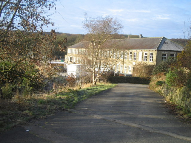
Smelthouses
Smelthouses is a hamlet in Nidderdale in North Yorkshire, England. It lies about 2.3 miles (4 km) south-east of Pateley Bridge, on either side of Fell...

Sawley, North Yorkshire
Sawley is a village and civil parish in the Harrogate district of North Yorkshire, England. It is about 4 miles (6.4 km) west of Ripon. From this position...

Hartwith cum Winsley
Hartwith cum Winsley is a civil parish in Harrogate district, North Yorkshire, England. Historically it was a township in the ancient parish of Kirkby...
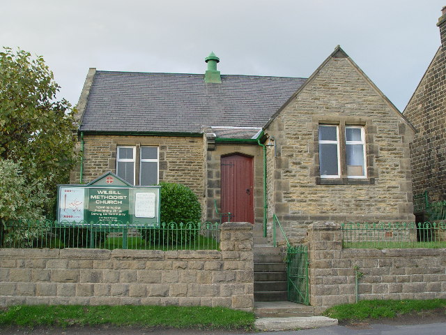
Wilsill
Wilsill is a village in Nidderdale in the Harrogate district of North Yorkshire, England. It is about 2 miles (3 km) east of Pateley Bridge on the B6165...
New York, North Yorkshire
New York is a settlement in Nidderdale in the Harrogate district of North Yorkshire, England. It is on the River Nidd, near Summerbridge, and about 2...
Have you been to Collarstoop Moor?
Leave your review of Collarstoop Moor below (or comments, questions and feedback).