Brickworth Down
Downs, Moorland in Wiltshire
England
Brickworth Down

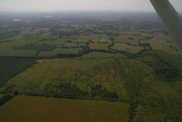
Brickworth Down, located in Wiltshire, England, is a picturesque area characterized by its downs and moorland landscape. Situated in the southern part of the county, it covers an expansive area of natural beauty that attracts visitors and locals alike.
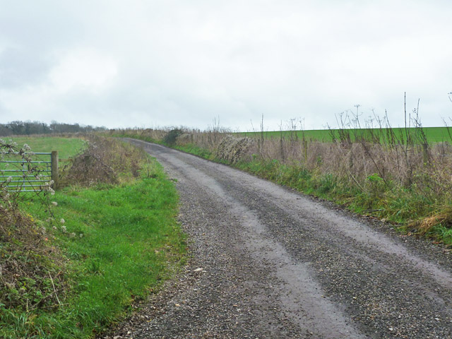
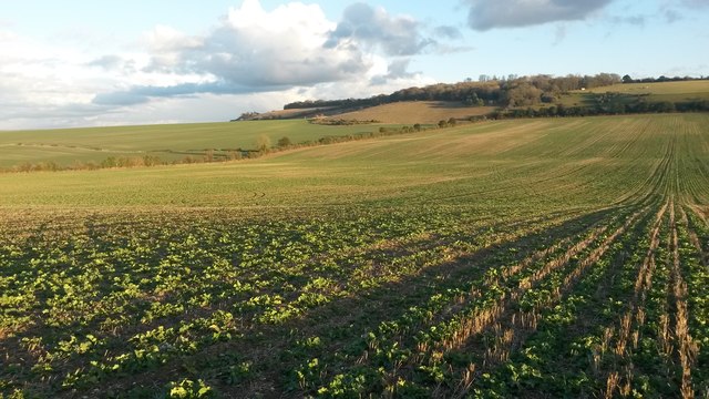
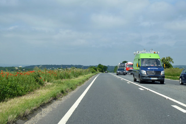
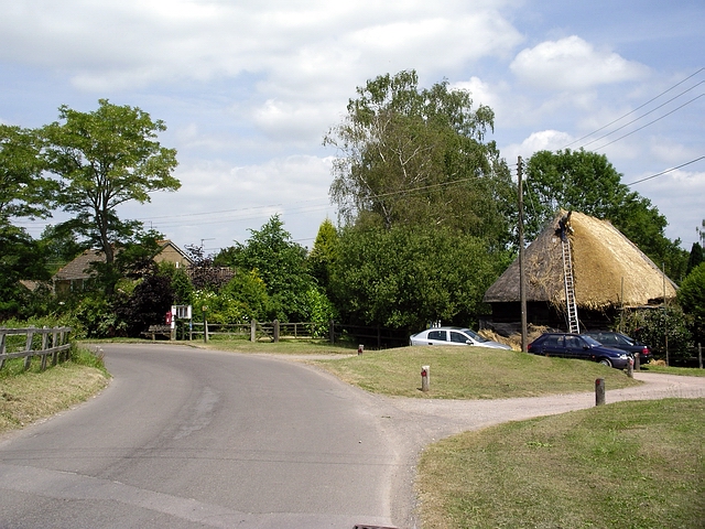
The downs of Brickworth Down are rolling hills covered with grass and scattered with patches of shrubs and trees. These hills provide stunning panoramic views of the surrounding countryside, offering visitors an opportunity to immerse themselves in the tranquil and serene atmosphere. The moorland, on the other hand, consists of open, uncultivated land characterized by heather, gorse, and patches of boggy ground. This distinct landscape is home to a variety of flora and fauna, including birds, insects, and small mammals.
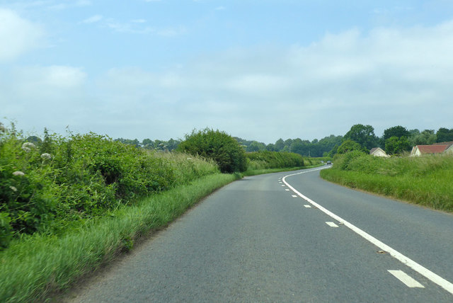
Brickworth Down is a popular destination for nature enthusiasts and outdoor enthusiasts. The area offers numerous walking trails and paths, allowing visitors to explore its diverse terrain at their own pace. The downland is also ideal for activities such as picnicking, kite flying, and birdwatching.
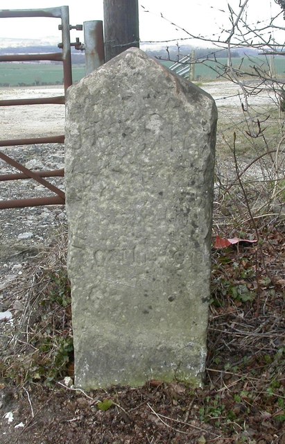
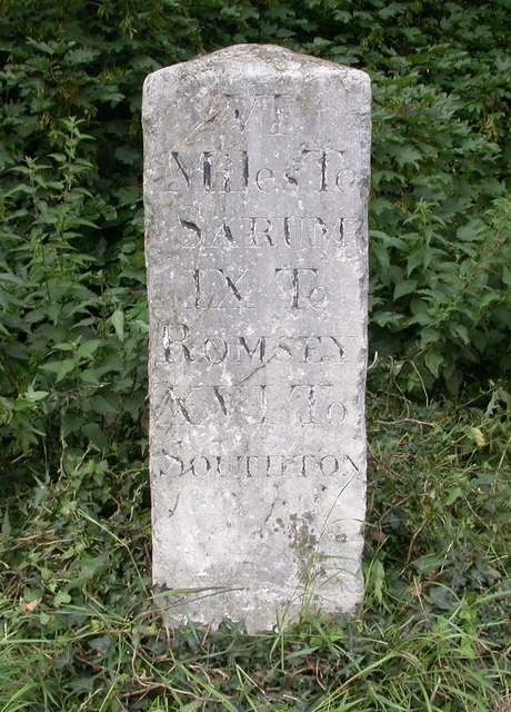
Aside from its natural beauty, Brickworth Down is also of historical significance. The area contains ancient burial mounds and earthworks, providing evidence of human habitation dating back thousands of years. These archaeological features add an extra layer of intrigue to the landscape, making it an intriguing destination for history buffs and archaeology enthusiasts.
Overall, Brickworth Down in Wiltshire offers a unique blend of natural beauty, historical significance, and recreational opportunities. Whether one seeks solace in nature, wants to immerse themselves in history, or simply desires a peaceful stroll, Brickworth Down is a must-visit location in Wiltshire.
If you have any feedback on the listing, please let us know in the comments section below.
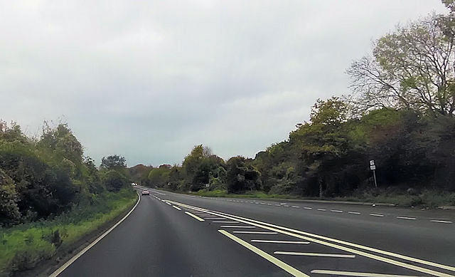
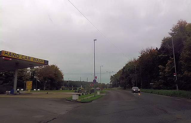
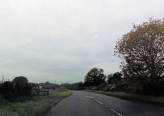
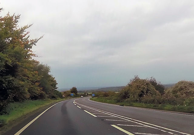
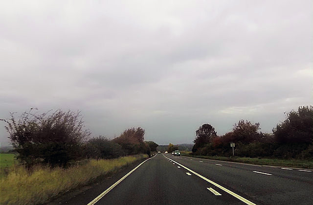
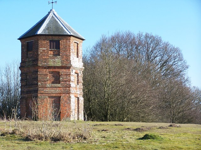
Brickworth Down Images
Images are sourced within 2km of 51.019529/-1.690948 or Grid Reference SU2124. Thanks to Geograph Open Source API. All images are credited.


Brickworth Down is located at Grid Ref: SU2124 (Lat: 51.019529, Lng: -1.690948)
Unitary Authority: Wiltshire
Police Authority: Wiltshire
What 3 Words
///subtitle.hiker.defender. Near Whiteparish, Wiltshire
Nearby Locations
Related Wikis

The Pepperbox
The Pepperbox, also known as Eyre's Folly, is a folly tower that stands near the highest point on Pepperbox Hill, the peak of a chalk ridge about 5 miles...

West Grimstead
West Grimstead is a village in the civil parish of Grimstead, on the River Dun in Wiltshire, England, about 4.5 miles (7.2 km) southeast of Salisbury....

Grimstead
Grimstead is a civil parish on the River Dun in Wiltshire, England, to the south-east of Salisbury. Its settlements are the villages of East Grimstead...

Whiteparish
Whiteparish is a village and civil parish on the A27 about 7.5 miles (12.1 km) southeast of Salisbury in Wiltshire, England. The village is about 1.5...

Brickworth Down and Dean Hill
Brickworth Down and Dean Hill (grid reference SU246259) is a 118.6 hectare biological Site of Special Scientific Interest in Wiltshire, notified in 1951...

Trafalgar Park, Wiltshire
Trafalgar Park (also known as Trafalgar House, formerly Standlynch Park) is a large Georgian country house about 1.4 miles (2.3 km) northeast of the village...

Witherington
Witherington is a small settlement in Wiltshire, England, in the extreme south-east of the county, a tithing of the civil parish of Downton. Although surveyed...
East Grimstead
East Grimstead is a village in the civil parish of Grimstead, on the River Dun in Wiltshire, England, about 5 miles (8.0 km) east of Salisbury. The village...
Nearby Amenities
Located within 500m of 51.019529,-1.690948Have you been to Brickworth Down?
Leave your review of Brickworth Down below (or comments, questions and feedback).