Agnes Meadow

Downs, Moorland in Derbyshire Derbyshire Dales

England

Agnes Meadow

Bird's eye view With some hen peckers
Bird's eye view Credit: Chris Morgan

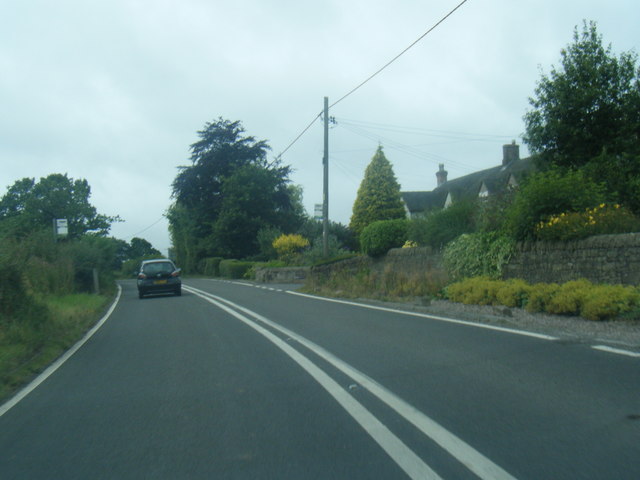
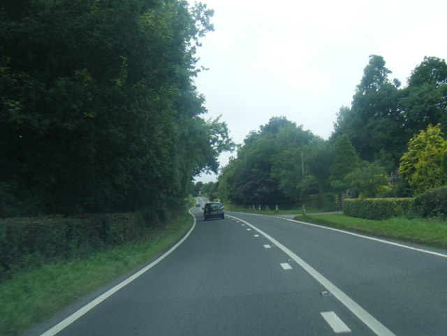
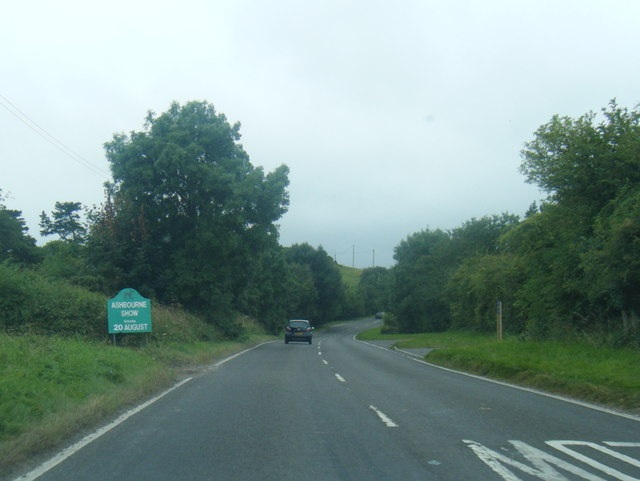
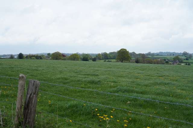
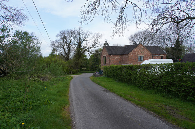
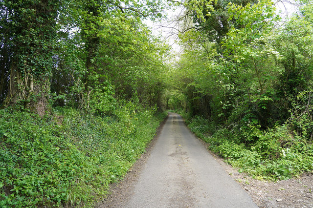
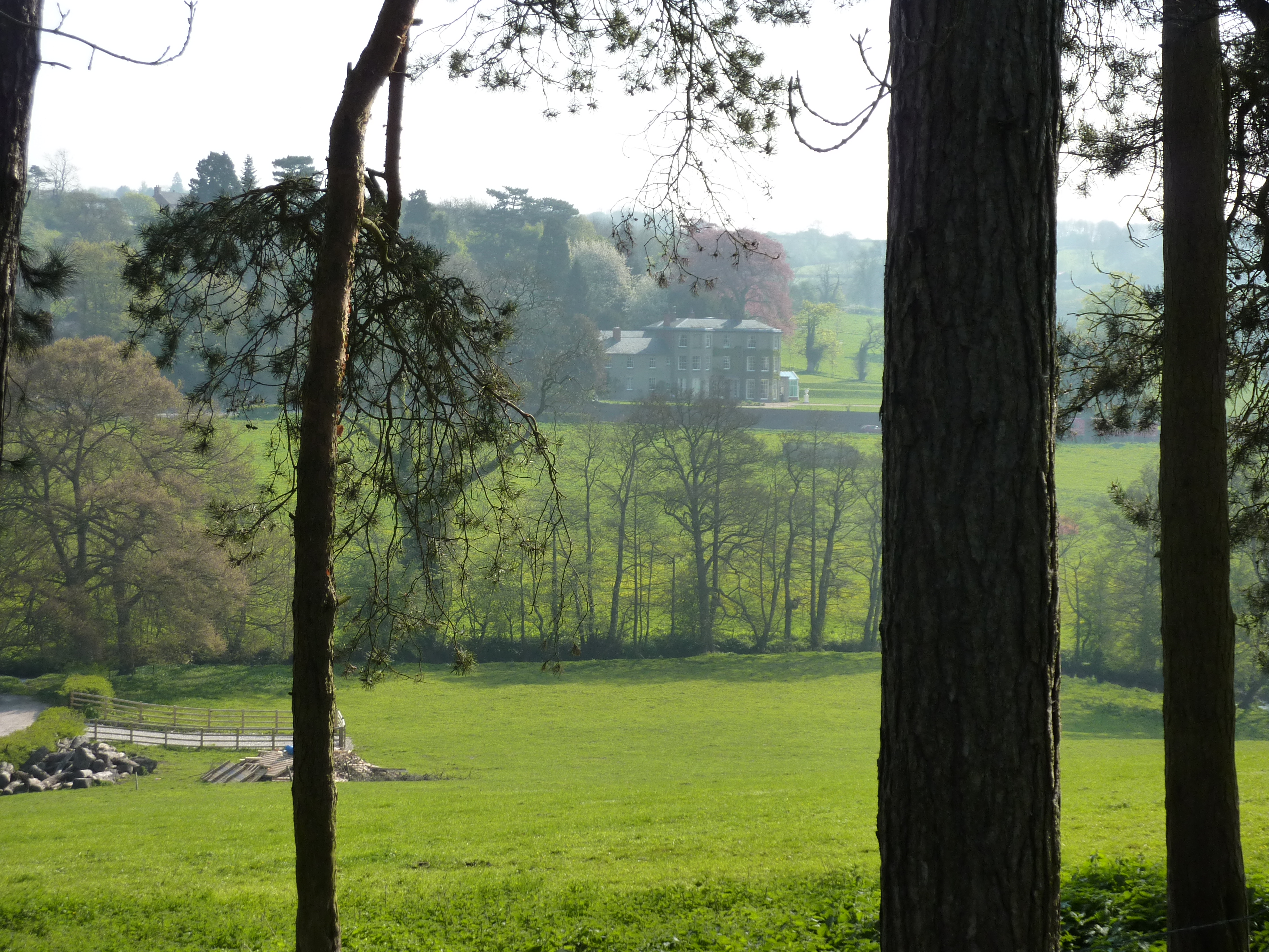
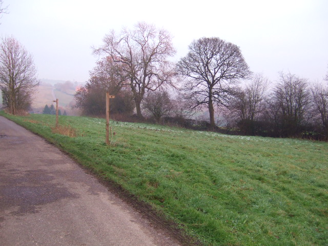
Agnes Meadow is a picturesque location nestled in the heart of Derbyshire, England. Known for its stunning natural beauty, it encompasses a diverse range of landscapes, including downs, moorland, and meadows. Spanning approximately 200 hectares, this area offers a tranquil escape from the hustle and bustle of city life.

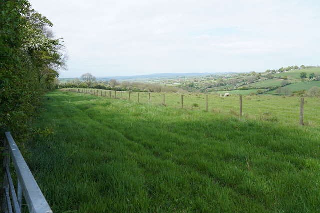
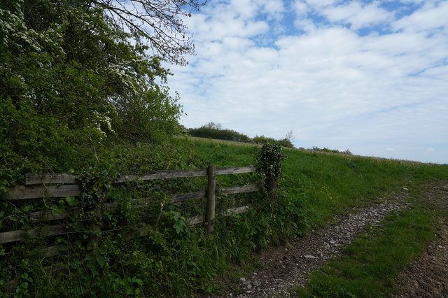
The meadow is characterized by rolling hills covered in lush green grass, providing a haven for various plant and animal species. It is particularly renowned for its vibrant wildflower displays during spring and summer, with a kaleidoscope of colors adorning the landscape. Visitors can spot an array of native plant species, including orchids, bluebells, and buttercups.

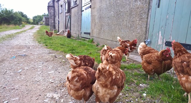
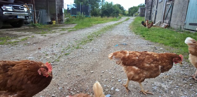
Agnes Meadow is also home to a diverse range of wildlife, making it a popular destination for nature enthusiasts. Birdwatchers can catch a glimpse of rare species such as lapwings, skylarks, and curlews soaring above the meadows. The moorland areas provide a habitat for foxes, hares, and even the occasional deer.

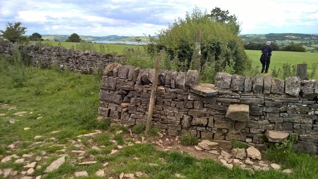
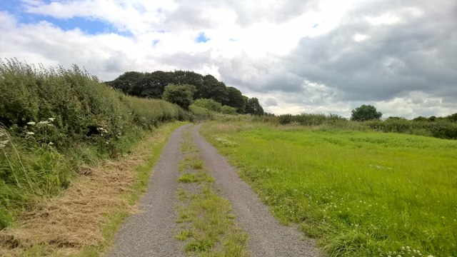
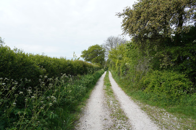
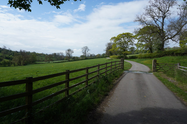
Walking trails crisscross the meadow, offering visitors the chance to explore its natural wonders. The paths wind through rolling hills, providing breathtaking panoramic views of the surrounding countryside. Nature lovers can take leisurely strolls, enjoying the sights and sounds of this idyllic location.

Agnes Meadow is a place where visitors can truly connect with nature, immersing themselves in its tranquility and beauty. Whether it's admiring the vibrant wildflowers, spotting rare bird species, or simply taking in the stunning views, this hidden gem in Derbyshire offers a unique and unforgettable experience for all who visit.

If you have any feedback on the listing, please let us know in the comments section below.

Agnes Meadow Images

Images are sourced within 2km of 53.027688/-1.6769201 or Grid Reference SK2147. Thanks to Geograph Open Source API. All images are credited.

Bird's eye view With some hen peckers
Bird's eye view
With some hen peckers
Descending Madge Hill
Track ascends Madge Hill
Why did the chickens cross the road? To try and escape a couple of Geographers passing by! At Atlow Winn
Why did the chickens cross the road?
To try and escape a couple of Geographers passing by! At Atlow Winn
A517 at Atlow Cottage
A517 near Yew Tree Lane, Bradley
A517 near New House Farm
Bradley Church This church in Bradley doesn't have a bell tower, so a bell is attached to the rear wall, with a steel canopy over it.
Bradley Church
This church in Bradley doesn't have a bell tower, so a bell is attached to the rear wall, with a steel canopy over it.
A lush crop of grass I may be wrong but it looks as though this field is grass and will probably be used for silage.
A lush crop of grass
I may be wrong but it looks as though this field is grass and will probably be used for silage.
The road to Bradley The sign says Bradley and is obviously on the edge of the village.
The road to Bradley
The sign says Bradley and is obviously on the edge of the village.
All Saints Church Bradley In Derbyshire this church is quite unusual in that it has no spire or tower. The grounds around the church look as though they are extremely well tended, especially the clipped bushes.
All Saints Church Bradley
In Derbyshire this church is quite unusual in that it has no spire or tower. The grounds around the church look as though they are extremely well tended, especially the clipped bushes.
Gorse Lane The Farm is Bradley Nook and it sits very close to Gorse Lane, which is a very minor road.
Gorse Lane
The Farm is Bradley Nook and it sits very close to Gorse Lane, which is a very minor road.
Entering Atlow Atlow is yet another very linear village.
Entering Atlow
Atlow is yet another very linear village.
An unsurfaced track The track has a surface of compacted limestone. Presumably put down when the Solar Farm to the left was being installed.
An unsurfaced track
The track has a surface of compacted limestone. Presumably put down when the Solar Farm to the left was being installed.
A lush field of grass Looking over the metal gate into a field of long grass, that is separated from another field with sheep grazing by a pole and wire fence.
A lush field of grass
Looking over the metal gate into a field of long grass, that is separated from another field with sheep grazing by a pole and wire fence.
The lane to a couple of houses A country lane that is just leading to a couple of houses and or a farm. The sign at the end did not mention a farm just a couple of names.
The lane to a couple of houses
A country lane that is just leading to a couple of houses and or a farm. The sign at the end did not mention a farm just a couple of names.
Looking along Winn Lane Another narrow country lane that actually says unfit for motors, so I walked a little way up it and was passed by a couple of cars!
Looking along Winn Lane
Another narrow country lane that actually says unfit for motors, so I walked a little way up it and was passed by a couple of cars!
Looking across the hillside A stoney track leads into the field which is on the side of quite a steep hill.
Looking across the hillside
A stoney track leads into the field which is on the side of quite a steep hill.
Show me another place!

Agnes Meadow is located at Grid Ref: SK2147 (Lat: 53.027688, Lng: -1.6769201)

Administrative County: Derbyshire

District: Derbyshire Dales

Police Authority: Derbyshire

What 3 Words

///blog.picturing.processor. Near Ashbourne, Derbyshire

Nearby Locations

Agnes Meadow

Related Wikis

Atlow

Atlow is a village and civil parish in the Derbyshire Dales district of Derbyshire, England, about eight miles west of Belper. According to the 2001 census...

Offcote and Underwood

Offcote and Underwood is a civil parish within the Derbyshire Dales district, in the county of Derbyshire, England. Largely rural, in 2011 the parish had...

Bradley, Derbyshire

Bradley is a village and civil parish in Derbyshire just east of Ashbourne. The population of the civil parish taken at the 2011 Census was 313. Other...

Hognaston

Hognaston is a small village and civil parish in Derbyshire, East Midlands, England. Hognaston has a population of approximately 200; including Atlow and...

Sturston, Derbyshire

Sturston is a small area of settlement in Derbyshire, England. It is located on the A517 road, 1-mile (1.6 km) east of Ashbourne. It is in the civil parish...

Ashbourne Green

Ashbourne Green is an area of Derbyshire, England. It is located in the Peak District, 1 mile north-east of Ashbourne in the Offcote and Underwood parish...

Kniveton

Kniveton is a village and civil parish in Derbyshire, England. It is in the Peak District, 3 miles (4.8 km) north east of Ashbourne, 6 miles (9.7 km) south...

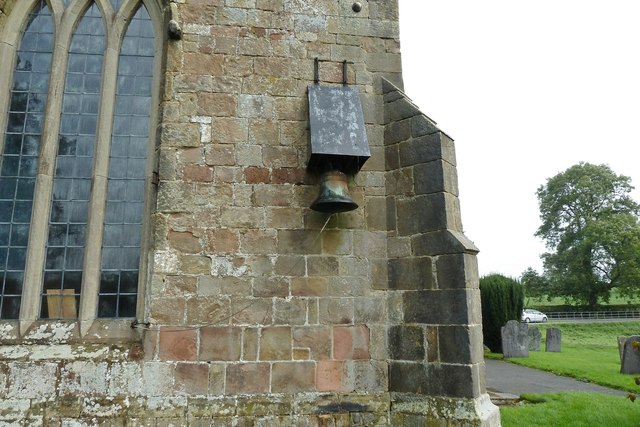
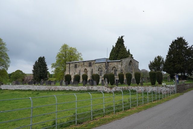
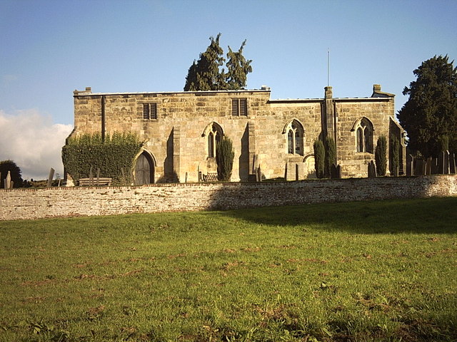
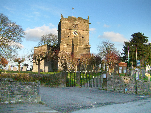
St Michael and All Angels' Church, Kniveton

St Michael and All Angels’ Church, Kniveton is a Grade I listed parish church in the Church of England in Kniveton, Derbyshire. == History == The church...

Related Videos

Tina's Traditional Tours - Travel Tips

Tina Jesson, Tour Director at Tina's Traditional Tours give her top tips for American Tourists visiting England.

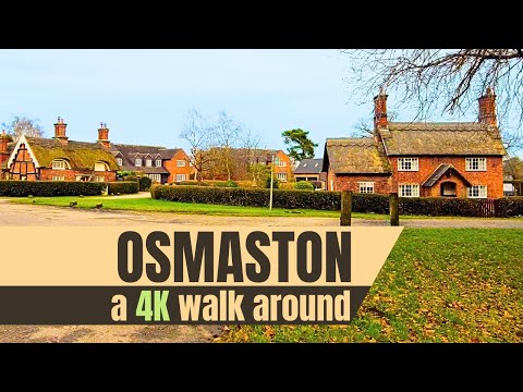
Osmaston Village Walk, Derbyshire Dales | English Countryside | 4K

Join us as we take a short walk through the beautiful village of Osmaston, located close to Ashbourne in the Derbyshire Dales.

A couple of talented youngsters created this video whilst staying with us in March .....

An adventure at Mulino Pods through the eyes of younger visitors .....

Nearby Amenities

Located within 500m of 53.027688,-1.6769201
Ele: 150.0000000
Lat/Long: 53.0256965/-1.6713079
Ele: 144.0000000
Lat/Long: 53.0261805/-1.6722064
Ele: 144.0000000
Lat/Long: 53.0261286/-1.6725758
Ele: 146.0000000
Lat/Long: 53.0250207/-1.674463
Ele: 147.0000000
Lat/Long: 53.0251893/-1.6738953
Ele: 140.0000000
Lat/Long: 53.0233437/-1.6778596
Ele: 219.0000000
Lat/Long: 53.0318377/-1.6766054
Ele: 180.0000000
Lat/Long: 53.0286021/-1.6783669
Ele: 181.0000000
Lat/Long: 53.0289525/-1.6782873
Fixme: where dose this go?
Lat/Long: 53.0287173/-1.6788815
Ele: 191.0000000
Lat/Long: 53.0294191/-1.6781574
Ele: 218.0000000
Lat/Long: 53.0318162/-1.6766574
Ele: 139
Lat/Long: 53.0247658/-1.6808083
Ele: 150.0000000
Lat/Long: 53.0254997/-1.6795938
Ele: 158.0000000
Lat/Long: 53.0262421/-1.6789797
Ele: 164.0000000
Lat/Long: 53.027256/-1.6791523
Ele: 170.0000000
Lat/Long: 53.0281084/-1.6787037
Ele: 133
Lat/Long: 53.024344/-1.6810407
Fixme: footpath should cross through west to join main access road. Not signs and new buildings.
Lat/Long: 53.0310642/-1.6733877
Ele: 221.0000000
Lat/Long: 53.0316201/-1.675557
Ele: 212.0000000
Lat/Long: 53.0304752/-1.675202
Ele: 209.0000000
Lat/Long: 53.0301812/-1.6746798
Ele: 208.0000000
Lat/Long: 53.0302993/-1.6732978
Ele: 145.0000000
Lat/Long: 53.0267403/-1.6723259
Ele: 143.0000000
Lat/Long: 53.0265766/-1.672288
Ele: 143.0000000
Lat/Long: 53.0264509/-1.6722505
Barrier: stile
Ele: 146.0000000
Steps: 1
Stile: stepover
Lat/Long: 53.0267499/-1.6717208
Barrier: stile
Ele: 148.0000000
Steps: 1
Stile: stepover
Lat/Long: 53.0266705/-1.6736523
Ele: 149.0000000
Lat/Long: 53.0257115/-1.6772642
Barrier: stile
Ele: 149.0000000
Steps: 1
Stile: stepover
Lat/Long: 53.0260215/-1.6763324
Barrier: stile
Stile: squeezer
Lat/Long: 53.0288481/-1.6814329
Barrier: entrance
Source: survey;gps
Lat/Long: 53.0279627/-1.6702744
Barrier: stile
Material: wood
Source: survey;gps
Stile: stepover
Lat/Long: 53.0261746/-1.6834264
Barrier: stile
Material: wood
Source: survey;gps
Stile: stepover
Lat/Long: 53.0263397/-1.6837644
Power: pole
Lat/Long: 53.0233761/-1.6789722
Power: pole
Lat/Long: 53.0243438/-1.6795419
Power: pole
Lat/Long: 53.0251587/-1.6800136
Power: pole
Lat/Long: 53.0260669/-1.6805534
Power: pole
Lat/Long: 53.026735/-1.6799333
Power: pole
Lat/Long: 53.0273279/-1.6795296
Direction: S
Generator Method: photovoltaic
Generator Output Electricity: yes
Generator Solar Modules: 8
Generator Source: solar
Generator Type: solar_photovoltaic_panel
Location: roof
Power: generator
Lat/Long: 53.031732/-1.6770364
Direction: S
Generator Method: photovoltaic
Generator Output Electricity: yes
Generator Solar Modules: 8
Generator Source: solar
Generator Type: solar_photovoltaic_panel
Location: roof
Power: generator
Lat/Long: 53.0317272/-1.6771625
The data included in this document is from www.openstreetmap.org. The data is made available under ODbL.

Have you been to Agnes Meadow?

Leave your review of Agnes Meadow below (or comments, questions and feedback).