Upper Bushes
Wood, Forest in Wiltshire
England
Upper Bushes

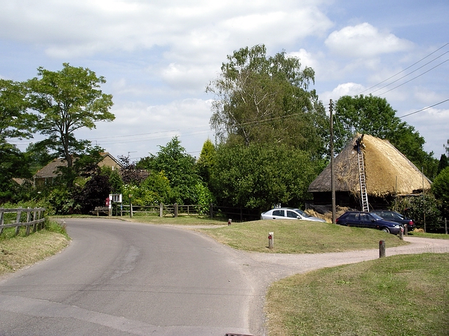
Upper Bushes is a small village located in the county of Wiltshire, England. Situated in the heart of the county, it is surrounded by picturesque woodlands and forests, making it an idyllic location for those seeking a peaceful rural setting.
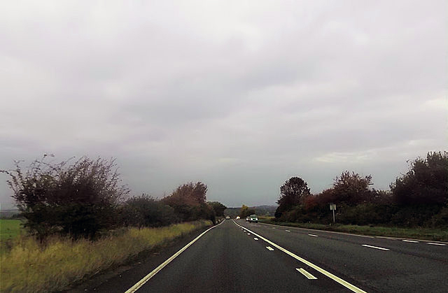
The village is characterized by its abundance of lush greenery and natural beauty. The woodlands and forests that envelop Upper Bushes provide a haven for wildlife, including a variety of bird species, deer, and other woodland creatures. The area is a popular spot for nature enthusiasts and hikers, who can explore the numerous walking trails that wind their way through the woods.
Despite its tranquil setting, Upper Bushes benefits from its close proximity to larger towns and cities. The village is just a short drive away from the town of Swindon, which offers a range of amenities including shopping centers, restaurants, and leisure facilities. Additionally, the city of Bristol is also within easy reach, providing residents with access to a wider range of cultural and entertainment options.
Upper Bushes itself is a close-knit community, with a small population that enjoys a strong sense of community spirit. The village features a quaint village hall, where locals gather for various events and activities throughout the year. There are also a few local businesses, including a small convenience store and a charming village pub, providing residents with essential services and a place to socialize.
In summary, Upper Bushes, Wiltshire is a charming village nestled amidst woodlands and forests, offering both residents and visitors a peaceful and scenic environment to enjoy.
If you have any feedback on the listing, please let us know in the comments section below.
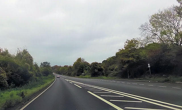
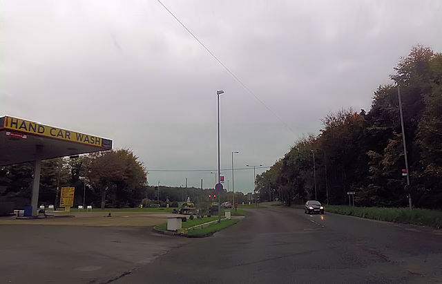
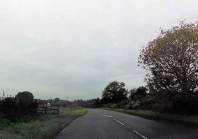
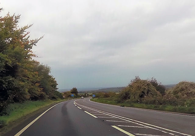
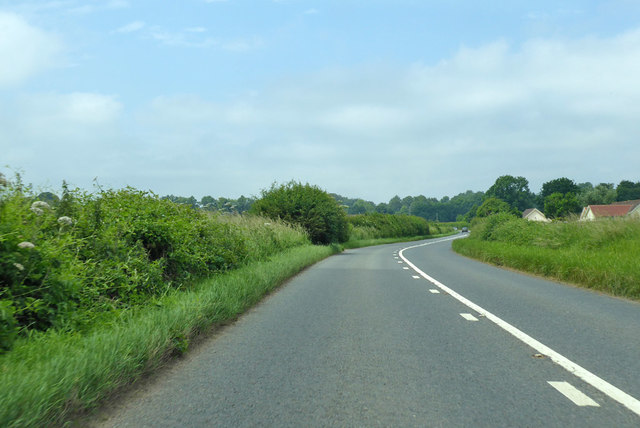
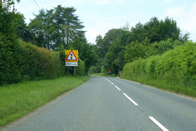
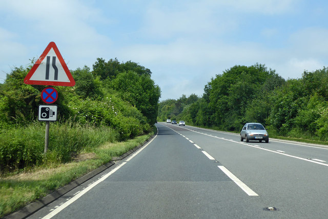
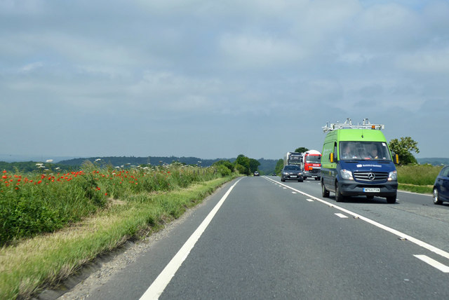
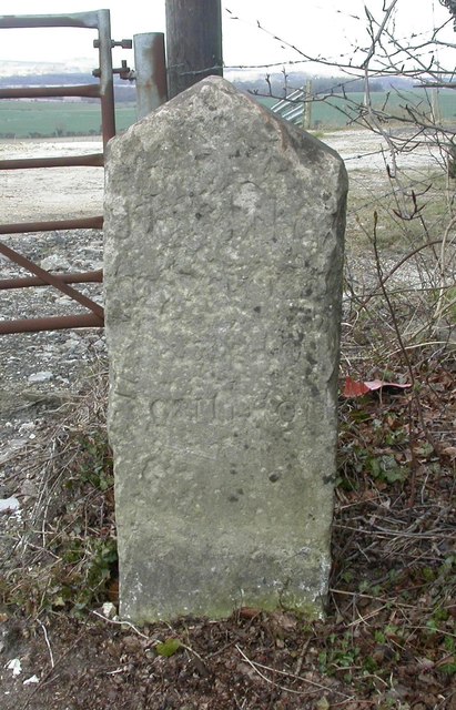
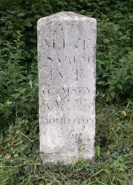
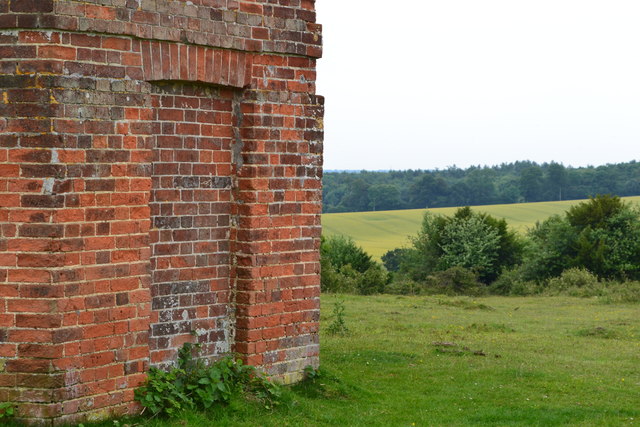
Upper Bushes Images
Images are sourced within 2km of 51.021061/-1.6889846 or Grid Reference SU2124. Thanks to Geograph Open Source API. All images are credited.


Upper Bushes is located at Grid Ref: SU2124 (Lat: 51.021061, Lng: -1.6889846)
Unitary Authority: Wiltshire
Police Authority: Wiltshire
What 3 Words
///spot.pancake.pinging. Near Whiteparish, Wiltshire
Nearby Locations
Related Wikis

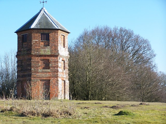
The Pepperbox
The Pepperbox, also known as Eyre's Folly, is a folly tower that stands near the highest point on Pepperbox Hill, the peak of a chalk ridge about 5 miles...

West Grimstead
West Grimstead is a village in the civil parish of Grimstead, on the River Dun in Wiltshire, England, about 4.5 miles (7.2 km) southeast of Salisbury....

Grimstead
Grimstead is a civil parish on the River Dun in Wiltshire, England, to the south-east of Salisbury. Its settlements are the villages of East Grimstead...

Whiteparish
Whiteparish is a village and civil parish on the A27 about 7.5 miles (12.1 km) southeast of Salisbury in Wiltshire, England. The village is about 1.5...

Brickworth Down and Dean Hill
Brickworth Down and Dean Hill (grid reference SU246259) is a 118.6 hectare biological Site of Special Scientific Interest in Wiltshire, notified in 1951...
East Grimstead
East Grimstead is a village in the civil parish of Grimstead, on the River Dun in Wiltshire, England, about 5 miles (8.0 km) east of Salisbury. The village...

Trafalgar Park, Wiltshire
Trafalgar Park (also known as Trafalgar House, formerly Standlynch Park) is a large Georgian country house about 1.4 miles (2.3 km) northeast of the village...

Witherington
Witherington is a small settlement in Wiltshire, England, in the extreme south-east of the county, a tithing of the civil parish of Downton. Although surveyed...
Nearby Amenities
Located within 500m of 51.021061,-1.6889846Have you been to Upper Bushes?
Leave your review of Upper Bushes below (or comments, questions and feedback).