Stony Moors

Downs, Moorland in Hampshire New Forest

England

Stony Moors

On B3058
On B3058 Credit: Dave Thompson

Stony Moors is a picturesque region located in Hampshire, England, known for its stunning natural beauty and diverse landscapes. Situated in the heart of the county, it encompasses both downs and moorland, offering visitors a unique and varied experience.

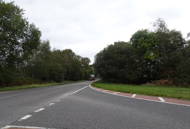
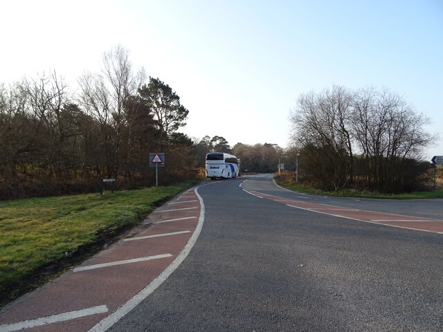
The downs of Stony Moors are characterized by their rolling hills and open grasslands, which provide breathtaking views of the surrounding countryside. These downs are perfect for outdoor enthusiasts, with numerous trails and footpaths that allow visitors to explore the area on foot or by bike. The rich flora and fauna of the downs make it a haven for nature lovers, who can spot a variety of wildflowers, butterflies, and birds.

In contrast, the moorland of Stony Moors offers a more rugged and wild landscape. Covered in heather and gorse, the moors provide a sense of tranquility and solitude. Walking across the moorland, visitors can enjoy the vast open spaces and immerse themselves in the peacefulness of the surroundings. The moorland is also home to a variety of wildlife, including deer, rabbits, and various bird species.

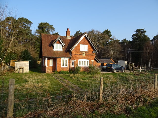
Stony Moors is not only a haven for nature enthusiasts but also offers historical and cultural attractions. The region is dotted with ancient burial mounds and stone circles, providing a glimpse into its rich history. Additionally, there are charming villages and towns nearby where visitors can explore local shops, pubs, and cafes, allowing them to experience the unique charm of Hampshire.

Overall, Stony Moors is a must-visit destination for those seeking to connect with nature, immerse themselves in history, and appreciate the beauty of the Hampshire countryside.

If you have any feedback on the listing, please let us know in the comments section below.
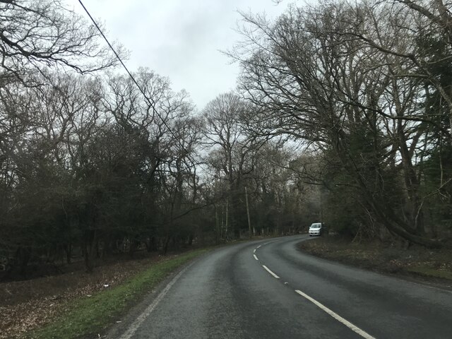
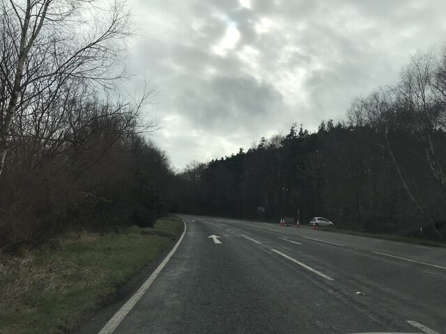
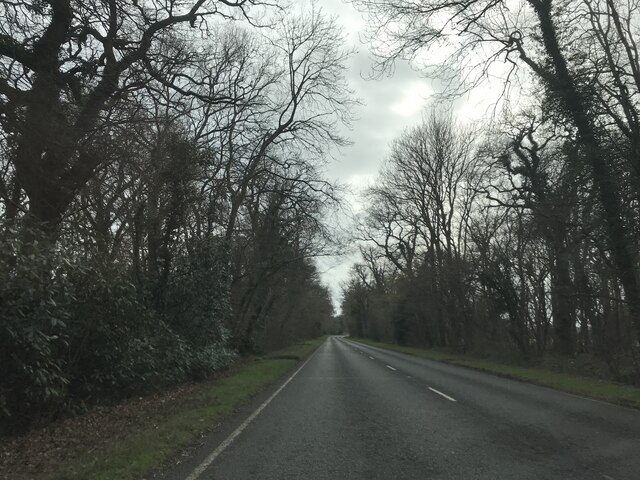
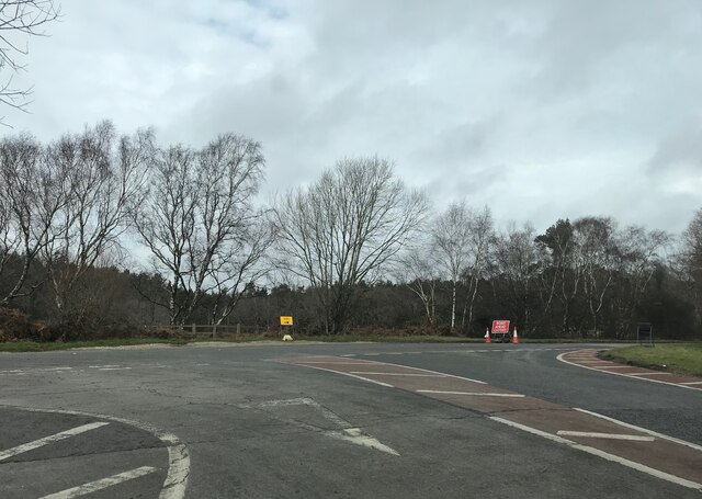
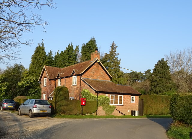
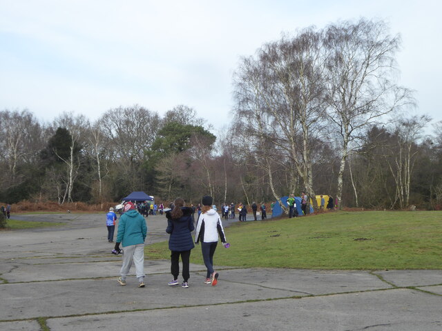
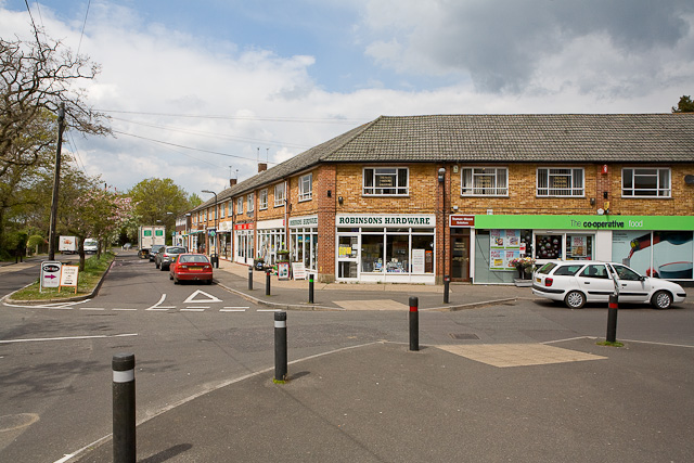
Stony Moors Images

Images are sourced within 2km of 50.795505/-1.6958459 or Grid Reference SZ2199. Thanks to Geograph Open Source API. All images are credited.

On B3058
On B3058
Junction to Forest Lodge
View on A35 southbound
Road closure near Wootton
B3058 Junction The A35 road heads across the New Forest.
B3058 Junction
The A35 road heads across the New Forest.
Woodland, North Hinton
Tanner's Close woodland of the A35
A35 towards Lyndhurst  The A35 is a major (and regularly congested) route along England's south coast. It runs for 97 miles, connecting Honiton in Devon with Southampton in Hampshire, via Poole and Bournemouth, with much of its route passing through Dorset and the New Forest. It is a trunk road for some of its length.
<span class="nowrap"><a title="http://www.sabre-roads.org.uk/wiki/index.php?title=A35" rel="nofollow ugc noopener" href="http://www.sabre-roads.org.uk/wiki/index.php?title=A35">Link</a><img style="margin-left:2px;" alt="External link" title="External link - shift click to open in new window" src="https://s1.geograph.org.uk/img/external.png" width="10" height="10"/></span>  SABRE
A35 towards Lyndhurst
The A35 is a major (and regularly congested) route along England's south coast. It runs for 97 miles, connecting Honiton in Devon with Southampton in Hampshire, via Poole and Bournemouth, with much of its route passing through Dorset and the New Forest. It is a trunk road for some of its length. LinkExternal link SABRE
Trees beside the A35
Grazing, Plain Heath
A35 towards Lyndhurst
Grazing off the A35
Grazing off the A35
B3058 towards New Milton
Holmsley Toll House
Holmsley Toll House
Elizabeth II postbox on Holmsley Passage Postbox No. BH24 60.
Elizabeth II postbox on Holmsley Passage
Postbox No. BH24 60.
Cottage on Holmsley Passage Showing position of Postbox No. BH24 60.
Cottage on Holmsley Passage
Showing position of Postbox No. BH24 60.
Assembly area for an orienteering event at Holmsley Caravan and Camp Site
Show me another place!

Stony Moors is located at Grid Ref: SZ2199 (Lat: 50.795505, Lng: -1.6958459)

Administrative County: Hampshire

District: New Forest

Police Authority: Hampshire

What 3 Words

///airbase.fact.merit. Near Bransgore, Hampshire

Nearby Locations

Stony Moors Magpie Bottom

Related Wikis

RAF Holmsley South

Royal Air Force Holmsley South or more simply RAF Holmsley South is a former Royal Air Force station in Hampshire, England. The airfield is located approximately...

All Saints' Church, Thorney Hill

All Saints' Church is a Church of England church in Thorney Hill, Hampshire, England. It was built in 1905–06 and has been a Grade I listed building since...

Holmsley railway station

Holmsley is a closed railway station in the county of Hampshire which served rural settlements in the New Forest. == History == The station was opened...

Ossemsley

Ossemsley is an extended hamlet in the New Forest National Park of Hampshire, England. It lies close to the village of Bashley. The nearest town is New...

East Close House

East Close House in Hinton, Hampshire, near Christchurch, Dorset, is a building of historical significance and a grade II listed building on the English...

Avon Tyrrell House

Avon Tyrrell is an historic manor within the parish of Sopley, Hampshire. It is situated within the New Forest, near Christchurch. The present manor house...

Bransgore

Bransgore is a village and civil parish within the New Forest District, Hampshire, England. The village developed in the 19th century when a church and...

Wootton, New Forest

Wootton is a hamlet in the civil parish of New Milton in Hampshire, England. It is in the south of the New Forest. == Overview == Wootton is just north...

Nearby Amenities

Located within 500m of 50.795505,-1.6958459
Turning Circle
Lat/Long: 50.7919835/-1.6983709
Turning Circle
Lat/Long: 50.7936661/-1.6981502
Turning Circle
Lat/Long: 50.7927422/-1.6946513
Turning Circle
Lat/Long: 50.7934414/-1.6941379
Turning Circle
Lat/Long: 50.7926364/-1.6934282
Turning Circle
Lat/Long: 50.7913175/-1.6964585
Turning Circle
Lat/Long: 50.793919/-1.6951566
Turning Circle
Lat/Long: 50.7919869/-1.6948975
Access: no
Comment: access=no because the fence goes across the footpath
Lat/Long: 50.7995998/-1.6970034
The data included in this document is from www.openstreetmap.org. The data is made available under ODbL.

Have you been to Stony Moors?

Leave your review of Stony Moors below (or comments, questions and feedback).