White Carr Moss

Downs, Moorland in Yorkshire

England

White Carr Moss

Old Boundary Marker on Candlerush Edge, Bleaklow Estate Boundary Marker on Candlerush Edge, Bleaklow, 1860 metres north-northeast of Margery Hill. Bradfield parish. R R W refers to R R Wilson, the owner of the Broomhead Estate at the end of the 19C.

Milestone Society National ID: YW_BRA43em
Old Boundary Marker on Candlerush Edge, Bleaklow Credit: D Garside

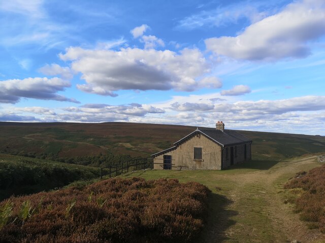
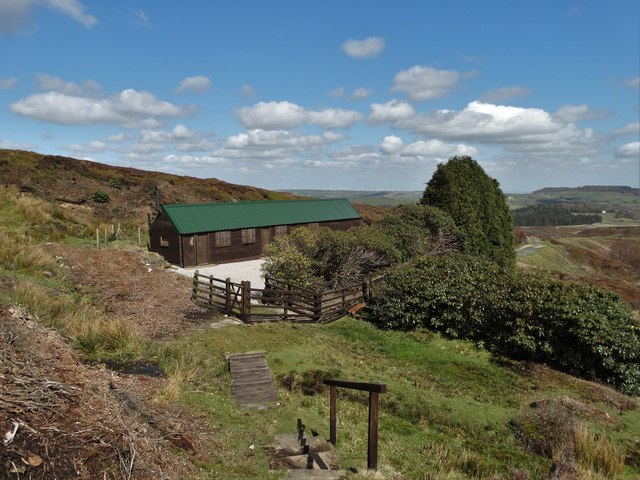
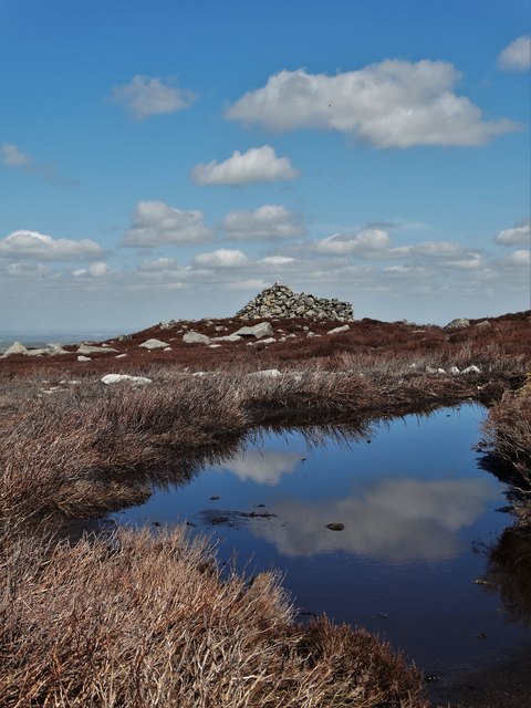
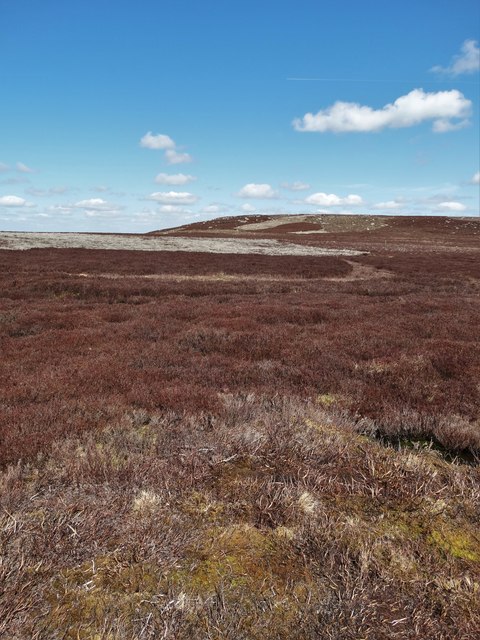
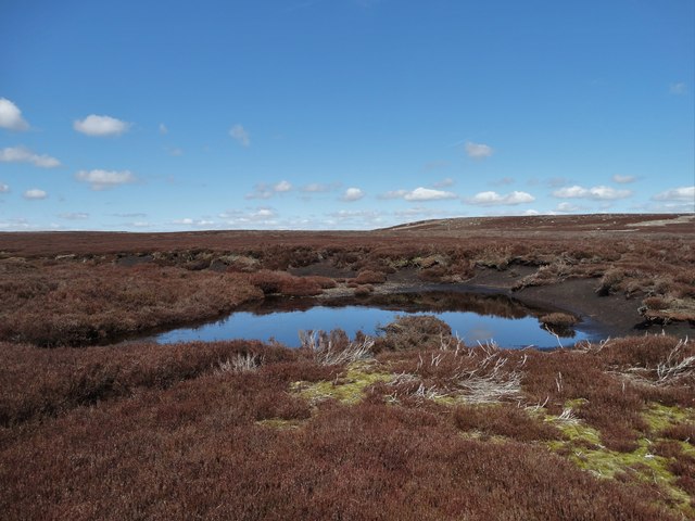
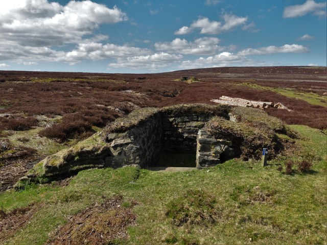
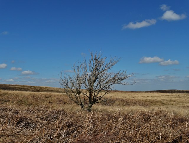
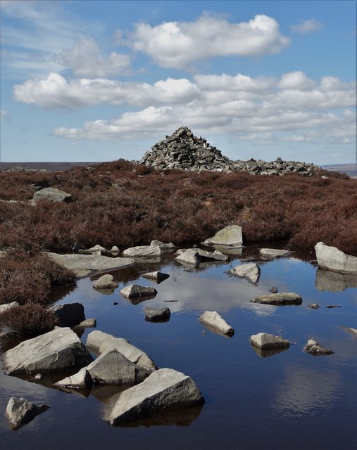
White Carr Moss is a nature reserve located in the heart of Yorkshire, England. This area is characterized by its vast expanse of white limestone pavements, which are interspersed with patches of heather moorland and pockets of woodland. The reserve is home to a diverse array of plant and animal species, including rare orchids, nesting birds, and butterflies.

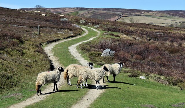
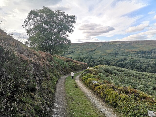
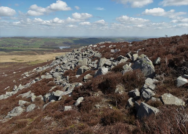
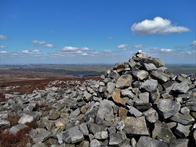
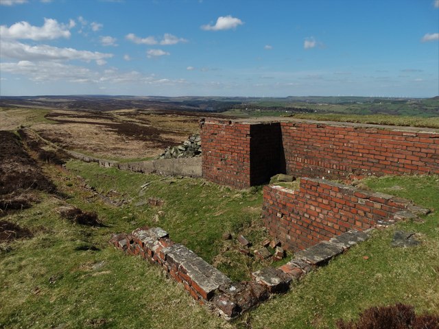
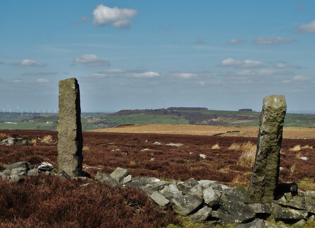
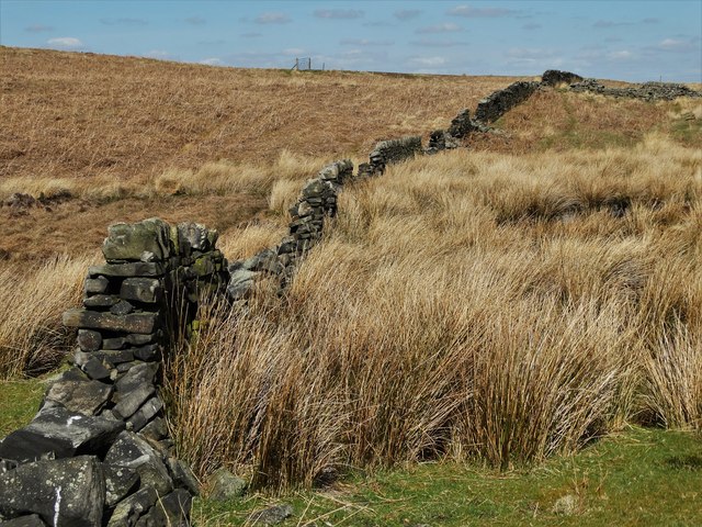
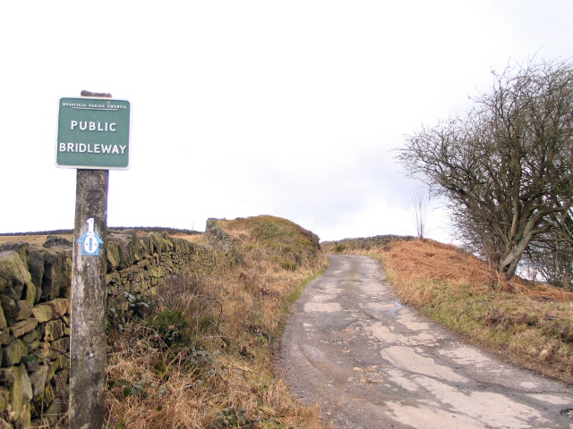
The landscape of White Carr Moss is dominated by rolling hills and valleys, providing visitors with stunning panoramic views of the surrounding countryside. The area is popular with hikers, birdwatchers, and nature enthusiasts, who come to explore the network of footpaths and trails that crisscross the reserve.

The reserve is managed by a team of dedicated conservationists who work tirelessly to protect and preserve the unique habitat of White Carr Moss. They undertake regular monitoring and maintenance to ensure the continued health and biodiversity of the area.

Overall, White Carr Moss is a tranquil and picturesque destination for those seeking to experience the beauty of the Yorkshire Downs and Moorland. Its rugged beauty and rich biodiversity make it a must-visit location for anyone with a passion for the great outdoors.

If you have any feedback on the listing, please let us know in the comments section below.

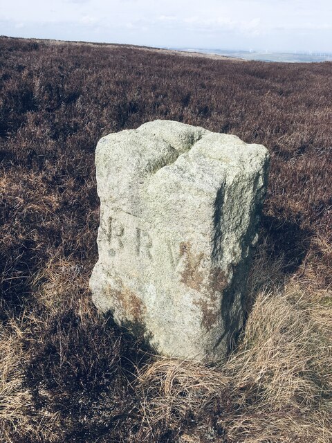
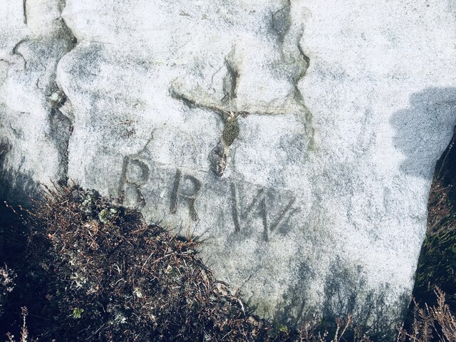
White Carr Moss Images

Images are sourced within 2km of 53.466282/-1.677609 or Grid Reference SK2196. Thanks to Geograph Open Source API. All images are credited.

Old Boundary Marker on Candlerush Edge, Bleaklow Estate Boundary Marker on Candlerush Edge, Bleaklow, 1860 metres north-northeast of Margery Hill. Bradfield parish. R R W refers to R R Wilson, the owner of the Broomhead Estate at the end of the 19C.

Milestone Society National ID: YW_BRA43em
Old Boundary Marker on Candlerush Edge, Bleaklow
Estate Boundary Marker on Candlerush Edge, Bleaklow, 1860 metres north-northeast of Margery Hill. Bradfield parish. R R W refers to R R Wilson, the owner of the Broomhead Estate at the end of the 19C. Milestone Society National ID: YW_BRA43em
Old Boundary Marker on Candlerush Edge, Bleaklow Estate Boundary Marker on Candlerush Edge, Bleaklow, 2100 metres northeast of Margery Hill. Bradfield parish. R R W refers to R R Wilson, the owner of the Broomhead Estate at the end of the 19C. See also <a title="https://www.geograph.org.uk/photo/398943" href="https://www.geograph.org.uk/photo/398943">Link</a>.

Milestone Society National ID: YW_BRA44em
Old Boundary Marker on Candlerush Edge, Bleaklow
Estate Boundary Marker on Candlerush Edge, Bleaklow, 2100 metres northeast of Margery Hill. Bradfield parish. R R W refers to R R Wilson, the owner of the Broomhead Estate at the end of the 19C. See also Link. Milestone Society National ID: YW_BRA44em
Old Boundary Marker on Candlerush Edge, Bleaklow Estate Boundary Marker on Candlerush Edge, Bleaklow, 2100 metres east-northeast of Margery Hill. Bradfield parish. R R W refers to R R Wilson, the owner of the Broomhead Estate at the end of the 19C.

Milestone Society National ID: YW_BRA45em
Old Boundary Marker on Candlerush Edge, Bleaklow
Estate Boundary Marker on Candlerush Edge, Bleaklow, 2100 metres east-northeast of Margery Hill. Bradfield parish. R R W refers to R R Wilson, the owner of the Broomhead Estate at the end of the 19C. Milestone Society National ID: YW_BRA45em
Sheep on the path!
Sheep on the path!
Track to Shooting Lodge On Broomhead Moor. Ewden Beck is in the valley.
Track to Shooting Lodge
On Broomhead Moor. Ewden Beck is in the valley.
Shooting Lodge on Broomhead Moor
Shooters' cabin by Sugden Clough, Midhope Moors A place for grouse hunters to gather, socialise, shelter from the rain and no doubt exchange tales of their shooting exploits
Shooters' cabin by Sugden Clough, Midhope Moors
A place for grouse hunters to gather, socialise, shelter from the rain and no doubt exchange tales of their shooting exploits
Pike Lowe Stones above Fenny Common With a distant view of Midhope Reservoir.
Pike Lowe Stones above Fenny Common
With a distant view of Midhope Reservoir.
At the cairn on Pike Lowe It sits on top of a Bronze Age burial site. If these stones could speak - who knows what stories they could tell of times long gone.
At the cairn on Pike Lowe
It sits on top of a Bronze Age burial site. If these stones could speak - who knows what stories they could tell of times long gone.
A view of the cairn on Pike Lowe Across a brackish moorland pool
A view of the cairn on Pike Lowe
Across a brackish moorland pool
Moorland at Candlerush Looking north to Pike Lowe
Moorland at Candlerush
Looking north to Pike Lowe
Moorland pool on White Carr Moss Looking in a north westerly direction towards Pike Lowe.
Moorland pool on White Carr Moss
Looking in a north westerly direction towards Pike Lowe.
Grouse butt near Brown Edge
Lone tree at Earnshaw North of Upperwood Dike. Here the land is spongy - providing a challenge for cross country walkers with rivulets and pools hidden beneath the moorland vegetation.
Lone tree at Earnshaw
North of Upperwood Dike. Here the land is spongy - providing a challenge for cross country walkers with rivulets and pools hidden beneath the moorland vegetation.
Tank target at Ewden Height A curious relic of World War II when troops were trained to operate tanks on this moorland.
Tank target at Ewden Height
A curious relic of World War II when troops were trained to operate tanks on this moorland.
Moorland west of Half Holes Spring Looking northwards towards Emley Moor's telecommunications mast. Tumbledown walls in this area and these long disused gateposts speak of times when sheep farming was far more prevalent on the moors south of Midhope.
Moorland west of Half Holes Spring
Looking northwards towards Emley Moor's telecommunications mast. Tumbledown walls in this area and these long disused gateposts speak of times when sheep farming was far more prevalent on the moors south of Midhope.
Ruined wall west of Ewden Height Once sheep farming was far more prevalent on these moors as the tumbledown wall suggests.
Ruined wall west of Ewden Height
Once sheep farming was far more prevalent on these moors as the tumbledown wall suggests.
On Pike Lowe The ancient cairn sits atop a Bronze Age burial site. Seen across a moorland pool that reflects the April sky like a mirror.
On Pike Lowe
The ancient cairn sits atop a Bronze Age burial site. Seen across a moorland pool that reflects the April sky like a mirror.
Show me another place!

White Carr Moss is located at Grid Ref: SK2196 (Lat: 53.466282, Lng: -1.677609)

Division: West Riding

Unitary Authority: Sheffield

Police Authority: South Yorkshire

What 3 Words

///jeeps.formless.amplified. Near Stocksbridge, South Yorkshire

Related Wikis

Margery Hill

Margery Hill is a 546-metre (1,791 ft) hill on the Howden Moors in South Yorkshire, England. It lies towards the northern boundary of the Peak District...

Wigtwizzle

Wigtwizzle is a hamlet in the civil parish of Bradfield, in South Yorkshire, England. The hamlet is 6 miles (9.7 km) south of Penistone, and 12 miles...

Broomhead Hall

Broomhead Hall was a large English country house that stood in the Ewden valley, to the west of Sheffield, England. The hall stood near the hamlet of Wigtwizzle...

Upper Midhope

Upper Midhope (archaic Over Midhope) is a village in the civil parish of Bradfield within the Stocksbridge and Upper Don electoral ward in the borough...

Nearby Amenities

Located within 500m of 53.466282,-1.677609
Fox Stones Moss
Place: locality
Lat/Long: 53.4635512/-1.6824619
White Carr Moss
Place: locality
Lat/Long: 53.4666274/-1.6759516
White Carr Ridge
Place: locality
Lat/Long: 53.465344/-1.6741637
Natural: rock
Lat/Long: 53.4696004/-1.6825629
The data included in this document is from www.openstreetmap.org. The data is made available under ODbL.

Have you been to White Carr Moss?

Leave your review of White Carr Moss below (or comments, questions and feedback).