Brompton Moor
Downs, Moorland in Yorkshire Richmondshire
England
Brompton Moor
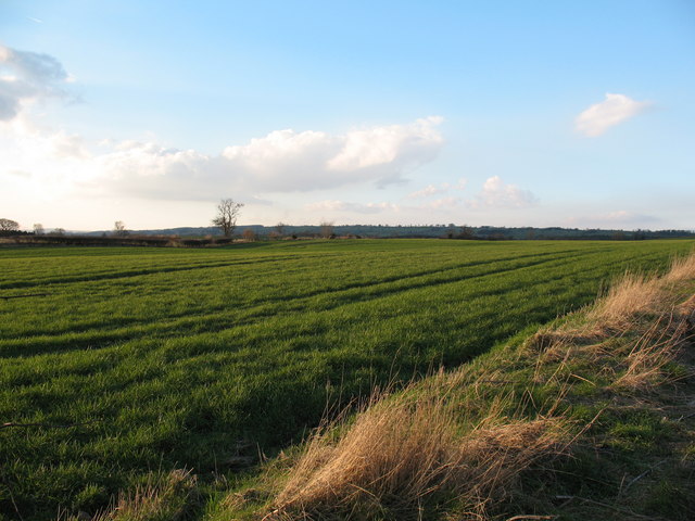
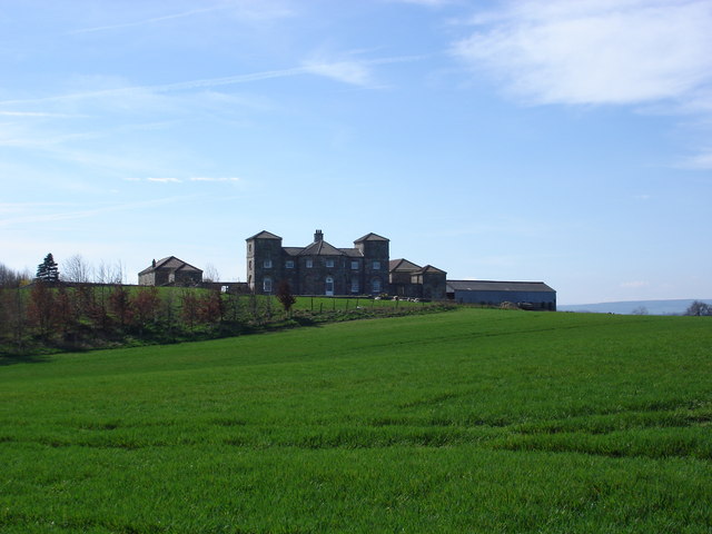
Brompton Moor, located in the county of Yorkshire in England, is a picturesque expanse of downs and moorland that spans an area of approximately 1,200 acres. Situated in the North York Moors National Park, this stunning landscape offers visitors a unique and immersive experience in the heart of nature.
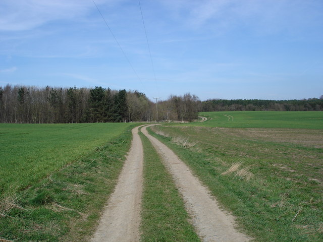
The moorland is characterized by its rolling hills, heather-clad slopes, and expansive open spaces, providing a habitat for a diverse range of flora and fauna. Visitors to Brompton Moor can expect to encounter an array of wildlife, including red grouse, curlews, lapwings, and golden plovers, making it a haven for birdwatching enthusiasts.
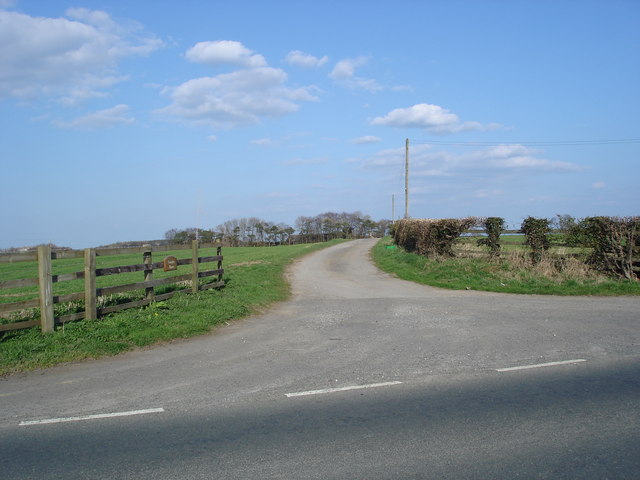
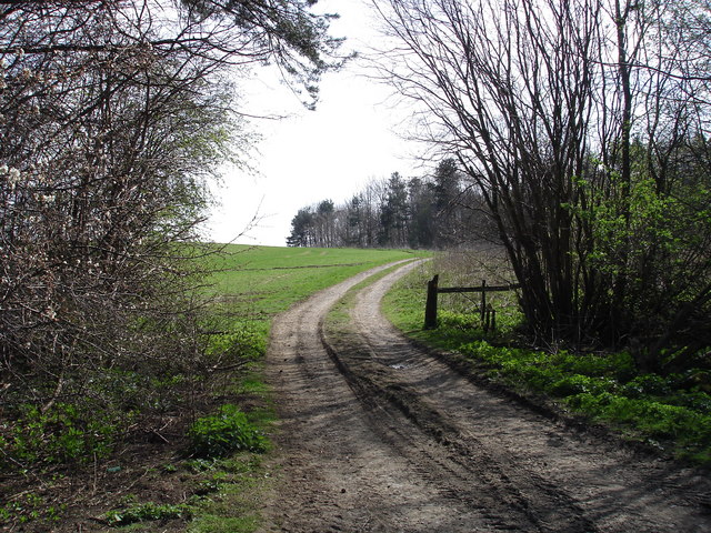
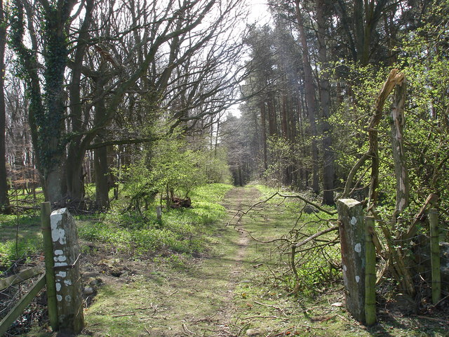
Walking and hiking enthusiasts will find an extensive network of footpaths and trails throughout the moor, offering breathtaking views of the surrounding countryside. One of the most popular routes is the Brompton-by-Sawdon Circular Walk, which takes in the scenic beauty of the moor and the charming village of Brompton-by-Sawdon.
Brompton Moor also holds historical significance, with evidence of ancient settlements and Bronze Age burial mounds scattered across its landscape. The moor has been the subject of archaeological investigations, uncovering artifacts and providing insights into the region's rich history.
For those seeking a peaceful retreat, Brompton Moor offers a tranquil and serene atmosphere, away from the hustle and bustle of city life. Whether it's exploring the vast open spaces, observing wildlife, or simply enjoying a picnic amidst nature, Brompton Moor provides an idyllic escape for nature lovers and outdoor enthusiasts alike.
If you have any feedback on the listing, please let us know in the comments section below.
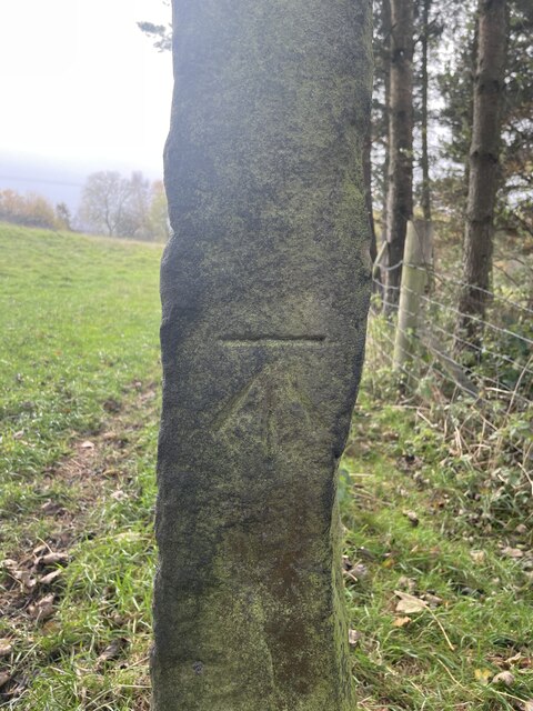
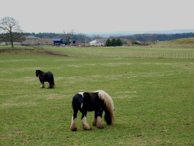
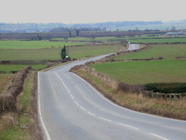
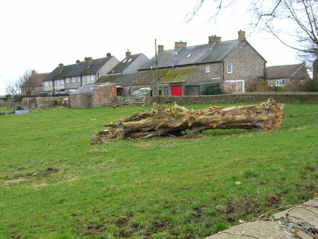
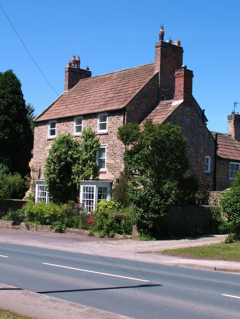
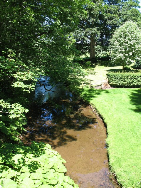
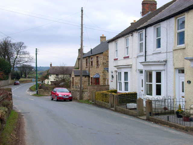
Brompton Moor Images
Images are sourced within 2km of 54.321228/-1.6822661 or Grid Reference SE2091. Thanks to Geograph Open Source API. All images are credited.
Brompton Moor is located at Grid Ref: SE2091 (Lat: 54.321228, Lng: -1.6822661)
Division: North Riding
Administrative County: North Yorkshire
District: Richmondshire
Police Authority: North Yorkshire
What 3 Words
///burglars.kindness.intention. Near Catterick, North Yorkshire
Nearby Locations
Related Wikis
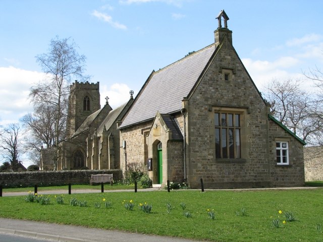
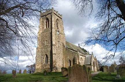
Church of St Patrick, Patrick Brompton
The Church of St Patrick, is the parish church for the village and parish of Patrick Brompton in North Yorkshire, England. The church is one of six in...

Patrick Brompton
Patrick Brompton is a village and civil parish in North Yorkshire, England. Patrick Brompton is situated about 4 miles (6.4 km) west of Bedale. It lies...

Arrathorne
Arrathorne is a hamlet and civil parish in the former Richmondshire district of North Yorkshire, England. The settlement is 6 miles (9 km) south of Richmond...

Akebar
Akebar is a township and civil parish in North Yorkshire, England, about eight miles south of Richmond. It consists of a caravan site, as well as several...

Hunton, North Yorkshire
Hunton is a village and civil parish about 3 miles (4.8 km) south of Catterick Garrison and 6 miles (10 km) north west of Bedale, in North Yorkshire, England...
Newton-le-Willows, North Yorkshire
Newton-le-Willows is a village and civil parish in the Richmondshire district of North Yorkshire, England, 3 miles (4.8 km) west of Bedale. Historically...

Jervaulx railway station
Jervaulx railway station was a railway station in Newton-le-Willows, North Yorkshire, England. Originally named after this place, it was renamed after...

Church of St Mary the Virgin, Hornby
St Mary's Church Hornby, is the parish church for the village of Hornby, Richmondshire in North Yorkshire, England. The church is one of six in the Benefice...
Nearby Amenities
Located within 500m of 54.321228,-1.6822661Have you been to Brompton Moor?
Leave your review of Brompton Moor below (or comments, questions and feedback).