Anderson's Plantation
Wood, Forest in Yorkshire Richmondshire
England
Anderson's Plantation
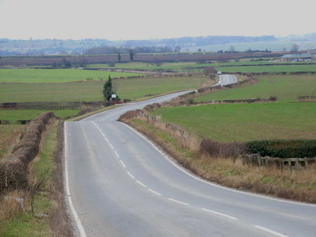
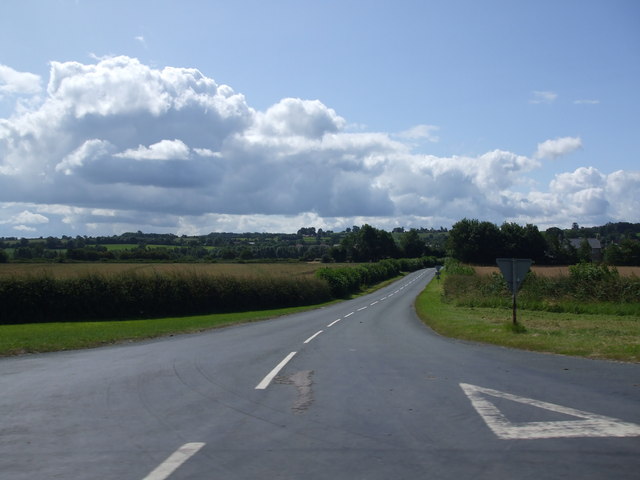
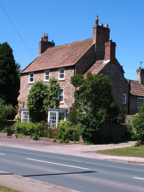
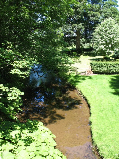
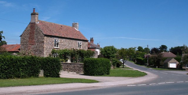
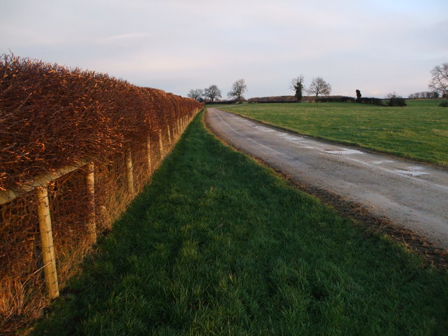
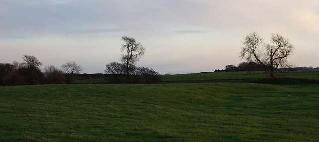
Anderson's Plantation is a picturesque woodland located in the heart of Yorkshire, England. Covering an area of approximately 100 acres, the plantation is a haven for nature enthusiasts and hikers alike. The dense forest is home to a variety of plant species, including towering oak, beech, and birch trees, creating a stunning and serene environment.
The plantation offers a network of well-maintained trails that wind through the woodland, providing visitors with the opportunity to explore its beauty at their own pace. The paths are suitable for all levels of fitness, ranging from leisurely strolls to more challenging hikes, ensuring there is something for everyone to enjoy.
The biodiversity of Anderson's Plantation is truly remarkable. It is home to a diverse range of wildlife, including deer, squirrels, rabbits, and a plethora of bird species. Birdwatchers can spot species such as woodpeckers, thrushes, and owls, making it a perfect spot for bird enthusiasts.
In addition to its natural beauty, Anderson's Plantation also boasts a range of amenities for visitors. There are picnic areas scattered throughout the woodland, allowing families and friends to enjoy a leisurely lunch amidst the tranquility of nature. Furthermore, the plantation offers educational programs and guided tours for those interested in learning more about the flora, fauna, and history of the area.
Anderson's Plantation truly captures the essence of Yorkshire's natural beauty. With its stunning woodland, diverse wildlife, and range of recreational activities, it is a must-visit destination for nature lovers and outdoor enthusiasts seeking a peaceful escape from the bustling city life.
If you have any feedback on the listing, please let us know in the comments section below.
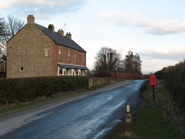
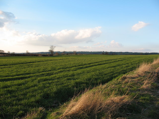
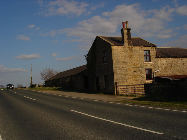
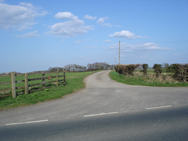
Anderson's Plantation Images
Images are sourced within 2km of 54.315582/-1.681418 or Grid Reference SE2091. Thanks to Geograph Open Source API. All images are credited.
Anderson's Plantation is located at Grid Ref: SE2091 (Lat: 54.315582, Lng: -1.681418)
Division: North Riding
Administrative County: North Yorkshire
District: Richmondshire
Police Authority: North Yorkshire
What 3 Words
///shipyards.tester.jumps. Near Bedale, North Yorkshire
Nearby Locations
Related Wikis
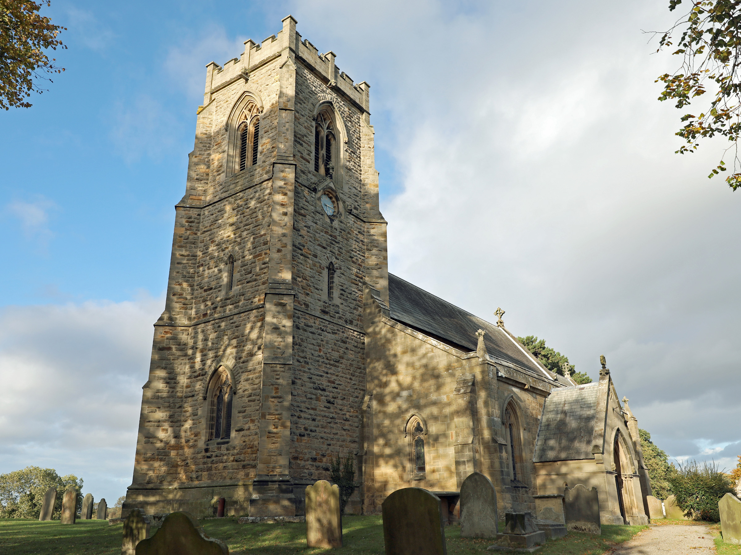
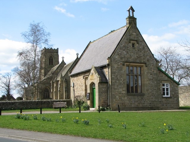
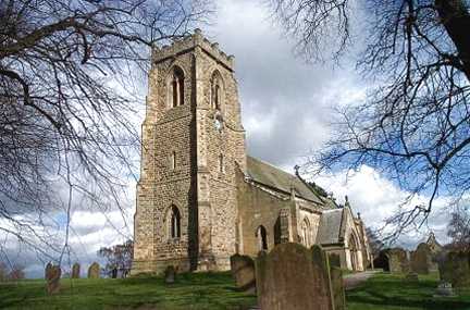
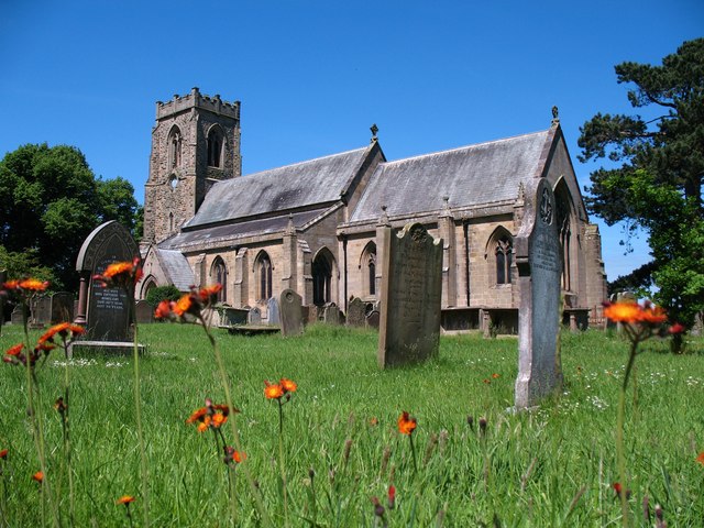
Church of St Patrick, Patrick Brompton
The Church of St Patrick, is the parish church for the village and parish of Patrick Brompton in North Yorkshire, England. The church is one of six in...

Patrick Brompton
Patrick Brompton is a village and civil parish in North Yorkshire, England. Patrick Brompton is situated about 4 miles (6.4 km) west of Bedale. It lies...
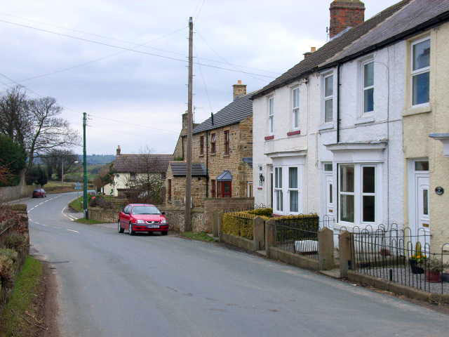
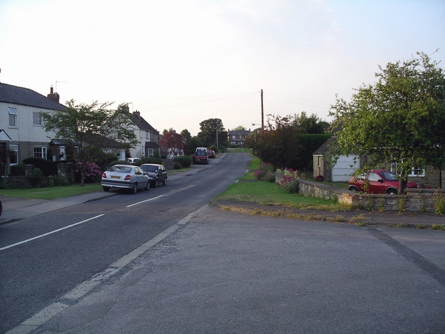
Newton-le-Willows, North Yorkshire
Newton-le-Willows is a village and civil parish in the Richmondshire district of North Yorkshire, England, 3 miles (4.8 km) west of Bedale. Historically...

Jervaulx railway station
Jervaulx railway station was a railway station in Newton-le-Willows, North Yorkshire, England. Originally named after this place, it was renamed after...

Akebar
Akebar is a township and civil parish in North Yorkshire, England, about eight miles south of Richmond. It consists of a caravan site, as well as several...

Aysgarth School
Aysgarth School is an independent day and boarding preparatory school near to the village of Newton-le-Willows, North Yorkshire, England. As the name suggests...

Arrathorne
Arrathorne is a hamlet and civil parish in the former Richmondshire district of North Yorkshire, England. The settlement is 6 miles (9 km) south of Richmond...

Hunton, North Yorkshire
Hunton is a village and civil parish about 3 miles (4.8 km) south of Catterick Garrison and 6 miles (10 km) north west of Bedale, in North Yorkshire, England...
Nearby Amenities
Located within 500m of 54.315582,-1.681418Have you been to Anderson's Plantation?
Leave your review of Anderson's Plantation below (or comments, questions and feedback).