Skelding Moor

Downs, Moorland in Yorkshire Harrogate

England

Skelding Moor

Drift Lane Walled track leading towards the Drovers Inn, Dallowgill now adopted by the Ripon Rowell Walk.
Drift Lane Credit: Chris Heaton

Skelding Moor is a picturesque area located in the county of Yorkshire, England. Known for its stunning natural beauty, it is nestled within the Yorkshire Downs and features expansive stretches of moorland. The moor is situated in the eastern part of the county, near the town of Helmsley.

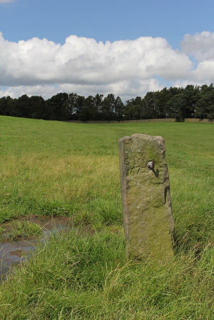
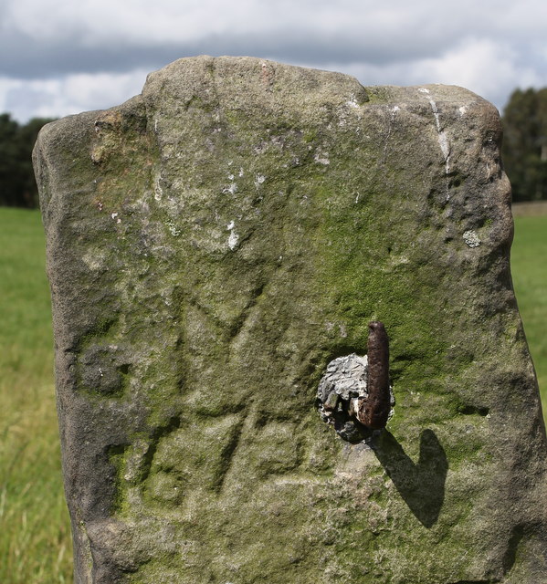
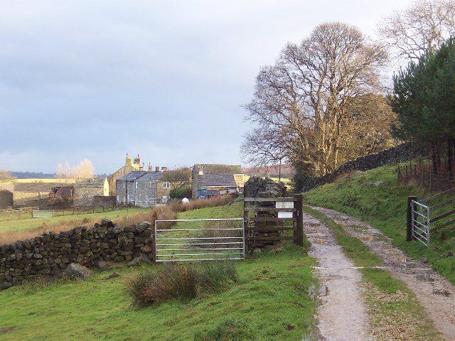
Skelding Moor is characterized by its rolling hills, open grasslands, and heather-covered landscapes. The moorland is a haven for wildlife, with numerous species of birds, including kestrels and curlews, making it their home. Visitors to the area can often catch a glimpse of these majestic creatures soaring above the moor.

The moorland also boasts an array of plant life, with vibrant purple heather dominating the scenery during the summer months. The landscape changes dramatically throughout the seasons, with the moorland taking on a golden hue in autumn and a frosty, ethereal charm in winter.

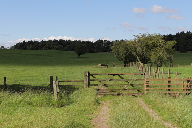
Skelding Moor offers a variety of recreational activities for outdoor enthusiasts. Hiking and walking trails crisscross the area, allowing visitors to explore its vast expanses and take in the breathtaking views. The moorland also provides an excellent opportunity for birdwatching, photography, and simply enjoying the tranquility of nature.

The surrounding Yorkshire Downs add to the appeal of Skelding Moor, with their picturesque villages, charming pubs, and historic landmarks. The town of Helmsley, a short distance away, offers amenities such as accommodations, restaurants, and shops, making it a convenient base for exploring the area.

In conclusion, Skelding Moor is a captivating destination in Yorkshire, offering a stunning combination of diverse moorland landscapes, rich wildlife, and a peaceful atmosphere. Whether seeking outdoor adventures or simply a place to unwind and reconnect with nature, Skelding Moor is a must-visit location for nature lovers and explorers alike.

If you have any feedback on the listing, please let us know in the comments section below.

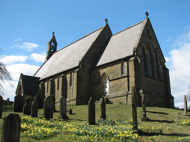
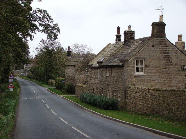
Skelding Moor Images

Images are sourced within 2km of 54.130981/-1.6844723 or Grid Reference SE2070. Thanks to Geograph Open Source API. All images are credited.

Drift Lane Walled track leading towards the Drovers Inn, Dallowgill now adopted by the Ripon Rowell Walk.
Drift Lane
Walled track leading towards the Drovers Inn, Dallowgill now adopted by the Ripon Rowell Walk.
Road on Skelding Moor Narrow moorland road crossing Skelding Moor - the gorse already starting to flower despite still in the month of January.
Road on Skelding Moor
Narrow moorland road crossing Skelding Moor - the gorse already starting to flower despite still in the month of January.
Road over Skelding Moor to Harper Hill Narrow road from Low Grantley to Harper Hill
Road over Skelding Moor to Harper Hill
Narrow road from Low Grantley to Harper Hill
Skelding Moor Moorland landscape near Grantley
Skelding Moor
Moorland landscape near Grantley
Old Gatepost. inscribed with the letters GM and numbers 1672. <a href="https://www.geograph.org.uk/photo/3056118">SE2270 : Old Gatepost (detail).</a>
Old Gatepost.
inscribed with the letters GM and numbers 1672. SE2270 : Old Gatepost (detail).
Old Gatepost (detail). <a href="https://www.geograph.org.uk/photo/3056115">SE2270 : Old Gatepost.</a>
Old Gatepost (detail).
Footpath from Redmires towards Lumley Moor.
Ordnance Survey Flush Bracket 11573 This re-sited Bracket can be found on the wall of a newly extended building at The Moorhouse - formerly the Drovers Inn.
For more detail see : <span class="nowrap"><a title="http://www.bench-marks.org.uk/bm22378" rel="nofollow ugc noopener" href="http://www.bench-marks.org.uk/bm22378">Link</a><img style="margin-left:2px;" alt="External link" title="External link - shift click to open in new window" src="https://s1.geograph.org.uk/img/external.png" width="10" height="10"/></span>
Ordnance Survey Flush Bracket 11573
This re-sited Bracket can be found on the wall of a newly extended building at The Moorhouse - formerly the Drovers Inn. For more detail see : LinkExternal link
The original location of the now re-sited Ordnance Survey Flush Bracket 11573 The wall of the former Drovers Inn.
For more detail see : <span class="nowrap"><a title="http://www.bench-marks.org.uk/bm22378" rel="nofollow ugc noopener" href="http://www.bench-marks.org.uk/bm22378">Link</a><img style="margin-left:2px;" alt="External link" title="External link - shift click to open in new window" src="https://s1.geograph.org.uk/img/external.png" width="10" height="10"/></span>
The original location of the now re-sited Ordnance Survey Flush Bracket 11573
The wall of the former Drovers Inn. For more detail see : LinkExternal link
New Building at the former Drovers Inn The re-position Ordnance Survey Flush Bracket 11573 is visible on the new wall.
For more detail see : <span class="nowrap"><a title="http://www.bench-marks.org.uk/bm22378" rel="nofollow ugc noopener" href="http://www.bench-marks.org.uk/bm22378">Link</a><img style="margin-left:2px;" alt="External link" title="External link - shift click to open in new window" src="https://s1.geograph.org.uk/img/external.png" width="10" height="10"/></span>
New Building at the former Drovers Inn
The re-position Ordnance Survey Flush Bracket 11573 is visible on the new wall. For more detail see : LinkExternal link
Dallow Collection of houses that make up the hamlet of Dallow, from the west.
Dallow
Collection of houses that make up the hamlet of Dallow, from the west.
Art near Stang Brae, Dallowgill Supplemental, I agree.  The area around Dallowgill has several of these mosaics in odd places, almost like a treasure hunt.  Someone with an artistic flair has gone to much trouble.
Art near Stang Brae, Dallowgill
Supplemental, I agree. The area around Dallowgill has several of these mosaics in odd places, almost like a treasure hunt. Someone with an artistic flair has gone to much trouble.
Saint Peter's Church, Dallowgill. A springtime view of a secluded chapel within Southern Nidderdale.
Saint Peter's Church, Dallowgill.
A springtime view of a secluded chapel within Southern Nidderdale.
Saint Peter's Church Lovely little church far from any large concentrations of population.
Saint Peter's Church
Lovely little church far from any large concentrations of population.
Mechanised Shepherd, Dallow Moor Modern shepherd herding his sheep off the moor, and following this track to Harper Hill
Mechanised Shepherd, Dallow Moor
Modern shepherd herding his sheep off the moor, and following this track to Harper Hill
Tracks on Harper Hill Junction of tracks - the one to the left leads to Dallow Moor, while the other one heads for Wake Hill
Tracks on Harper Hill
Junction of tracks - the one to the left leads to Dallow Moor, while the other one heads for Wake Hill
An hillside Farm One of many hill farms in this area.
An hillside Farm
One of many hill farms in this area.
Stream and Woods in Woods near Dallow
Show me another place!

Skelding Moor is located at Grid Ref: SE2070 (Lat: 54.130981, Lng: -1.6844723)

Division: West Riding

Administrative County: North Yorkshire

District: Harrogate

Police Authority: North Yorkshire

What 3 Words

///chapters.hopefully.handy. Near Pateley Bridge, North Yorkshire

Nearby Locations

Harper Hill Skelding Moor

Related Wikis

Grantley, North Yorkshire

Grantley is a village (also known as High Grantley) and civil parish in North Yorkshire, England. It lies 5 miles (8 km) west of Ripon. The parish also...

Dallowgill

Dallowgill (historically also Dallaghill) is a village in Harrogate district in North Yorkshire, England. It consists of a number of scattered settlements...

Eavestone

Eavestone is a hamlet and civil parish in the Harrogate district of North Yorkshire, England. It is situated near Brimham Rocks, 3 miles (4.8 km) east...

Laverton, North Yorkshire

Laverton is a village and civil parish in the Harrogate district of North Yorkshire, England, about 7 miles (11 km) west of Ripon. The population of this...

Grantley Hall

Grantley Hall is a English country house located in North Yorkshire, England. It is situated near Grantley, about 5 miles (8 km) to the west of Ripon,...

Ripon and Pateley Bridge Rural District

Ripon and Pateley Bridge was a rural district in the West Riding of Yorkshire, England from 1937 to 1974. It was created in 1937 by a County Review Order...

High and Low Bishopside

High and Low Bishopside is a civil parish in Nidderdale in the Harrogate district, in the county of North Yorkshire, England. It includes the town of Pateley...

Risplith

Risplith is a village in the civil parish of Sawley, in the Harrogate district of North Yorkshire, England. It is about 4 miles (6.4 km) west of Ripon...

Nearby Amenities

Located within 500m of 54.130981,-1.6844723
old shaft
Historic: mine_shaft
Mineral: coal?
Source: OS 1:25k
Lat/Long: 54.1317251/-1.6812582
Black Hill
Natural: peak
Source: OS 1:25k
Lat/Long: 54.1283681/-1.6786189
Skelding Moor
Natural: moor
Source: OS 1:25k
Lat/Long: 54.1306193/-1.6837259
The data included in this document is from www.openstreetmap.org. The data is made available under ODbL.

Have you been to Skelding Moor?

Leave your review of Skelding Moor below (or comments, questions and feedback).