White Flats

Downs, Moorland in Yorkshire

England

White Flats

Bridleway above Hepworth Wood
Bridleway above Hepworth Wood Credit: Stephen Craven

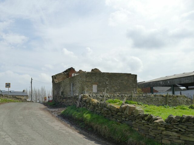
White Flats, Yorkshire, is a picturesque area located in the northeastern part of England. Situated within the larger region known as the Yorkshire Downs, White Flats is characterized by its stunning landscape, which combines vast stretches of flat land with rolling hills and moorland.

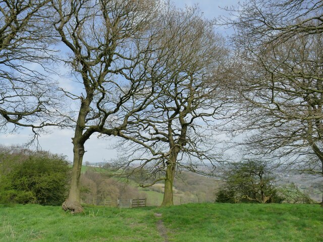
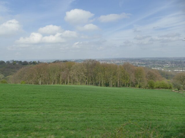
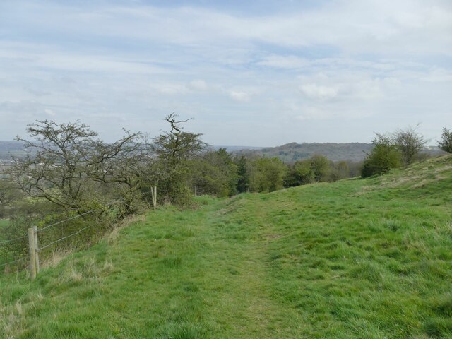
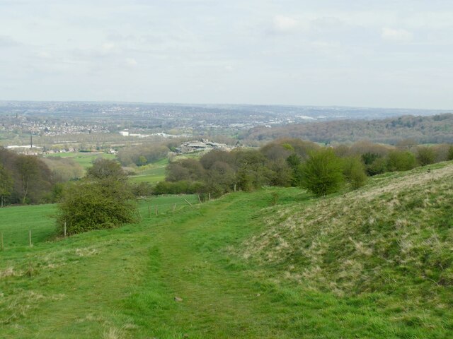
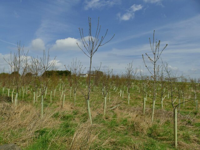
The area is renowned for its natural beauty, with expansive fields of lush green grasses and wildflowers, creating a tranquil and serene atmosphere. White Flats is an idyllic destination for nature enthusiasts, hikers, and photographers, offering breathtaking panoramic views of the surrounding countryside.

In addition to its flatlands, White Flats also features sections of the iconic Yorkshire Moorland. These moorlands are characterized by their rugged terrain, heather-covered hills, and scattered outcrops of rocks, creating a distinct and dramatic landscape. The moors are often dotted with sheep, adding to the area's charm and authenticity.

The region is home to a diverse range of flora and fauna, including various species of birds, mammals, and wildflowers. Visitors can spot rare birds such as curlews and lapwings, as well as enjoy the vibrant colors of heather and wild orchids during the summer months.

White Flats offers an escape from the hustle and bustle of city life, providing a peaceful and tranquil environment for visitors to relax and explore the natural wonders of Yorkshire. Whether strolling through the flatlands or hiking across the moorland, White Flats is a destination that will captivate and inspire nature lovers of all kinds.

If you have any feedback on the listing, please let us know in the comments section below.
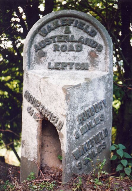
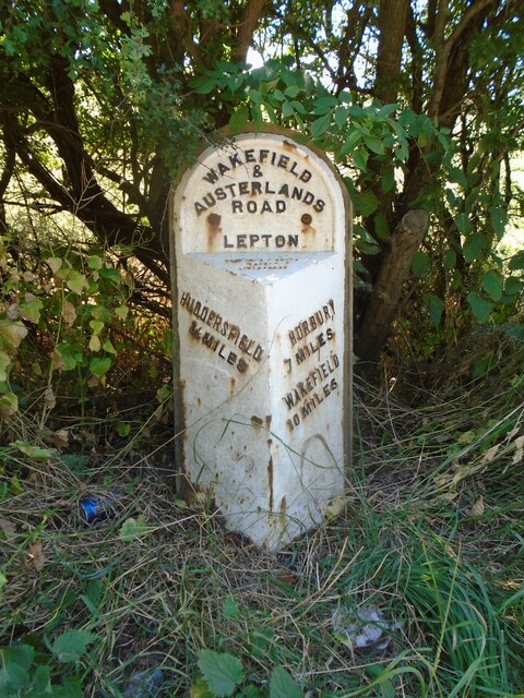
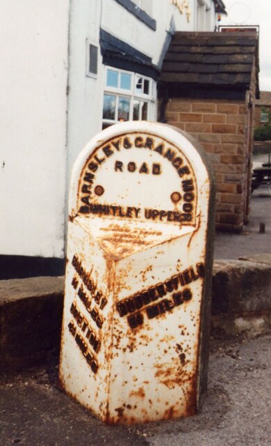
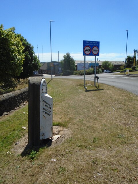
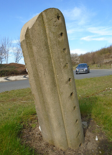
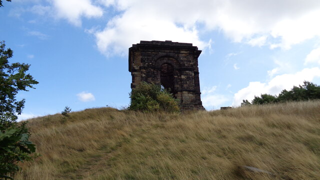
White Flats Images

Images are sourced within 2km of 53.642257/-1.6914863 or Grid Reference SE2016. Thanks to Geograph Open Source API. All images are credited.

Bridleway above Hepworth Wood
Hepworth Wood Viewed from a nearby bridleway.
Hepworth Wood
Viewed from a nearby bridleway.
Hollies alongside a bridleway The holly bushes were filled with song thrushes and other small birds responding to the first warm weather of spring.
Hollies alongside a bridleway
The holly bushes were filled with song thrushes and other small birds responding to the first warm weather of spring.
View from Dransfield Hill Looking north-east across the lower Calder Valley.
View from Dransfield Hill
Looking north-east across the lower Calder Valley.
Plantation at Dransfield Hill Farm
Ruined barn on Healey Green Lane Part of Croft Side Farm.
Ruined barn on Healey Green Lane
Part of Croft Side Farm.
Croft Side Farm  Viewed from Healey Green Lane.
Croft Side Farm
Viewed from Healey Green Lane.
Dumb Steeple Possible boundary marker for the Beaumont Estate or another eye-catcher in their former Whitley Park
Dumb Steeple
Possible boundary marker for the Beaumont Estate or another eye-catcher in their former Whitley Park
Old milestone On the A642 east of Grange Moor Traffic Island, where the Barnsley and Grange Moor turnpike (1759-1870) met the 27 mile long Wakefield and Austerlands first enacted in 1759.   But this is a milestone set up by the West Riding CC in 1893/94 hidden under the hedge.  It was dug up, painted and reset in 2010.  Grade II listed 1313334.
Old milestone
On the A642 east of Grange Moor Traffic Island, where the Barnsley and Grange Moor turnpike (1759-1870) met the 27 mile long Wakefield and Austerlands first enacted in 1759. But this is a milestone set up by the West Riding CC in 1893/94 hidden under the hedge. It was dug up, painted and reset in 2010. Grade II listed 1313334.
Old milestone Grass trampled down, another of over half of the 615 milestones still by the roadside that were set up by the family firm of F Stead and Son of Mirfield.   They won the contract from the newly formed West Riding County Council to set up these milestones all over the old West Riding in 1893/94.   The contract specified that the work must be done in 12 months and they achieved that.
Old milestone
Grass trampled down, another of over half of the 615 milestones still by the roadside that were set up by the family firm of F Stead and Son of Mirfield. They won the contract from the newly formed West Riding County Council to set up these milestones all over the old West Riding in 1893/94. The contract specified that the work must be done in 12 months and they achieved that.
Old milestone Prior to 2008 this is what the WRCC milestone, 9 miles from Wakefield, opposite the White Horse PH, now Bar 319, looked like.   It was uplifted by Kirklees Council together with the milestone a mile nearer Huddersfield.   It was repaired by having the whole of the left face replaced.   By 2012 it was set back up but at the Wakefield 10 mile point!
Old milestone
Prior to 2008 this is what the WRCC milestone, 9 miles from Wakefield, opposite the White Horse PH, now Bar 319, looked like. It was uplifted by Kirklees Council together with the milestone a mile nearer Huddersfield. It was repaired by having the whole of the left face replaced. By 2012 it was set back up but at the Wakefield 10 mile point!
Old milestone By 2012 the milestones Wakefield 9 and 10 were set back up.   This one had been very sunken and a mile nearer Huddersfield.   A new backing stone was made from a shaped coping stone from a wall top and is larger than the original.  The milestone is now leaning backwards slightly. This says Huddersfield 3¼ but there will be an extra mile to go if you are walking or cycling!   Grade II listed 1184132.
Old milestone
By 2012 the milestones Wakefield 9 and 10 were set back up. This one had been very sunken and a mile nearer Huddersfield. A new backing stone was made from a shaped coping stone from a wall top and is larger than the original. The milestone is now leaning backwards slightly. This says Huddersfield 3¼ but there will be an extra mile to go if you are walking or cycling! Grade II listed 1184132.
Old milestone Prior to 2008 this late 19thC West Riding CC milestone was on the southwest corner of Grange Moor roundabout near the pub.   In 2008 it was uplifted for refurbishment.
Old milestone
Prior to 2008 this late 19thC West Riding CC milestone was on the southwest corner of Grange Moor roundabout near the pub. In 2008 it was uplifted for refurbishment.
Old milestone By 2012 the West Riding CC milestone at Grange Moor TI at the junction of the A637 and A642 had been reset on the opposite side of the A637 which is the correct orientation for the legends.   A new backing stone had been fashioned from a wall coping stone.  In 2018 it had been knocked slightly sideways.  Fortunately no damage was done to the milestone.   Grade II listed 1313289.
Old milestone
By 2012 the West Riding CC milestone at Grange Moor TI at the junction of the A637 and A642 had been reset on the opposite side of the A637 which is the correct orientation for the legends. A new backing stone had been fashioned from a wall coping stone. In 2018 it had been knocked slightly sideways. Fortunately no damage was done to the milestone. Grade II listed 1313289.
Old milestone This shows the shape of the 'new' backing stone and how the milestone at Grange Moor roundabout has been pushed over slightly.   The holes would have, once upon a time, held railings.   Many were taken off for the war effort, 1939-45.   Grade II listed 1313289.
Old milestone
This shows the shape of the 'new' backing stone and how the milestone at Grange Moor roundabout has been pushed over slightly. The holes would have, once upon a time, held railings. Many were taken off for the war effort, 1939-45. Grade II listed 1313289.
The Temple on the crest of the hill A gazebo for the demolished Whitley Hall
The Temple on the crest of the hill
A gazebo for the demolished Whitley Hall
Footpath from Denby Lane to Hill Farm, Grange Moor
Footpath to Hill Farm, Grange Moor This is a slight diversion as the route on the map goes diagonally across the meadow, but skylarks nest in the grass and there is a sign asking people to walk round the edge of the field.
Footpath to Hill Farm, Grange Moor
This is a slight diversion as the route on the map goes diagonally across the meadow, but skylarks nest in the grass and there is a sign asking people to walk round the edge of the field.
Show me another place!

White Flats is located at Grid Ref: SE2016 (Lat: 53.642257, Lng: -1.6914863)

Division: West Riding

Unitary Authority: Kirklees

Police Authority: West Yorkshire

What 3 Words

///vintages.react.bloodshot. Near Mirfield, West Yorkshire

Related Wikis

Whitley Beaumont

Whitley Beaumont was an estate in the county of West Yorkshire, England, near Huddersfield. Whitley Hall (now demolished) was the seat of the Beaumont...

Lepton, West Yorkshire

Lepton is a village near Huddersfield in the parish of Kirkburton, in the Kirklees district of West Yorkshire, England. It is 4.25 miles (7 km) to the...

Gawthorpe, Kirklees

Gawthorpe, also known as Gawthorp, is a hamlet in the Kirklees district, in the English county of West Yorkshire, about 4 miles (6 km) east of Huddersfield...

Shuttle Eye Colliery

Shuttle Eye Colliery was a coal mine on the South Yorkshire Coalfield at Grange Moor between Wakefield and Huddersfield on the A642 road, in England.The...

Have you been to White Flats?

Leave your review of White Flats below (or comments, questions and feedback).