Farnley Moor
Downs, Moorland in Yorkshire Harrogate
England
Farnley Moor
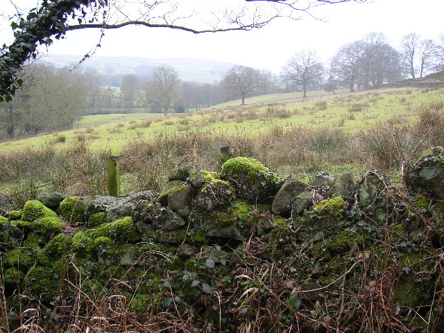
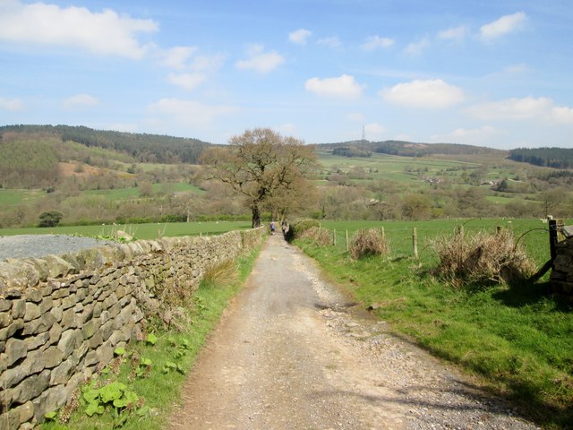
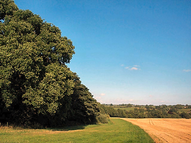
Farnley Moor is a picturesque expanse of open moorland located in the county of Yorkshire, England. Situated on the western fringes of the Yorkshire Dales National Park, it covers an area of approximately 4 square kilometers. The moor is characterized by its undulating terrain, which is mainly covered in heather and grasses, giving it a beautiful and rustic appearance.
The landscape of Farnley Moor is dominated by rolling hills and valleys, with occasional rocky outcrops adding to its charm. The moorland is interspersed with patches of woodland, further enhancing its natural beauty. The area is home to a diverse range of flora and fauna, including rare species of birds, butterflies, and wildflowers.
Farnley Moor offers breathtaking panoramic views of the surrounding countryside, with its elevated position providing vistas across the Yorkshire Dales. On a clear day, visitors can enjoy sweeping views of the iconic Three Peaks - Pen-y-ghent, Ingleborough, and Whernside - which form a stunning backdrop to the moor.
The area is popular with hikers, walkers, and nature enthusiasts, who can explore the numerous footpaths and trails that crisscross the moor. Farnley Moor is also a haven for birdwatchers, as it attracts a wide variety of birds, including buzzards, kestrels, and curlews.
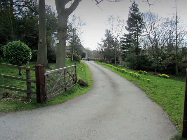
Although relatively remote and untouched by human intervention, the moorland is traversed by a small road, making it accessible to visitors. Farnley Moor offers a serene and tranquil escape from the hustle and bustle of everyday life, allowing visitors to immerse themselves in the beauty of nature and experience the wild charm of Yorkshire's countryside.
If you have any feedback on the listing, please let us know in the comments section below.
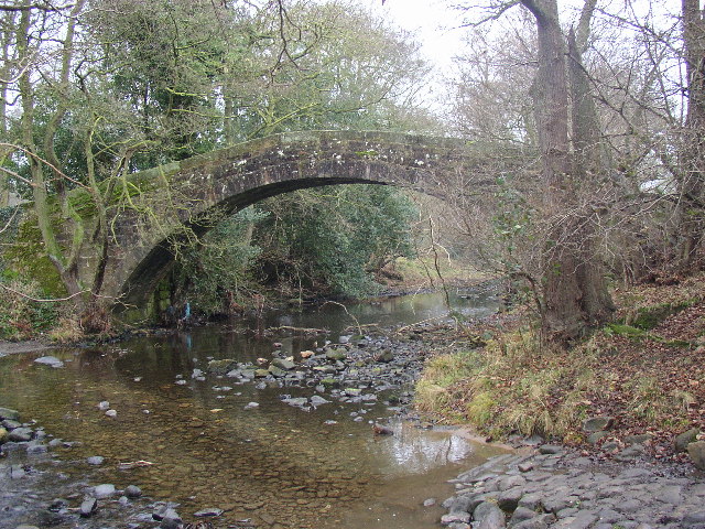
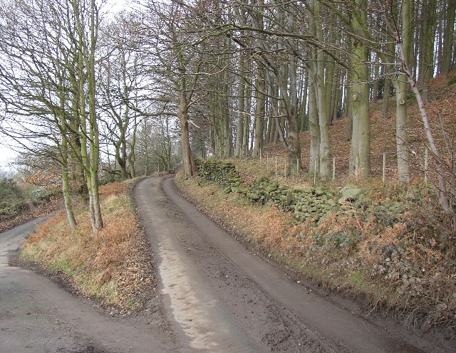
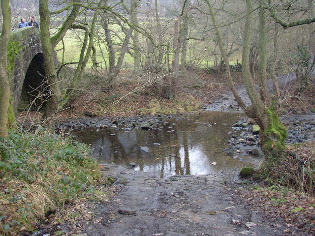
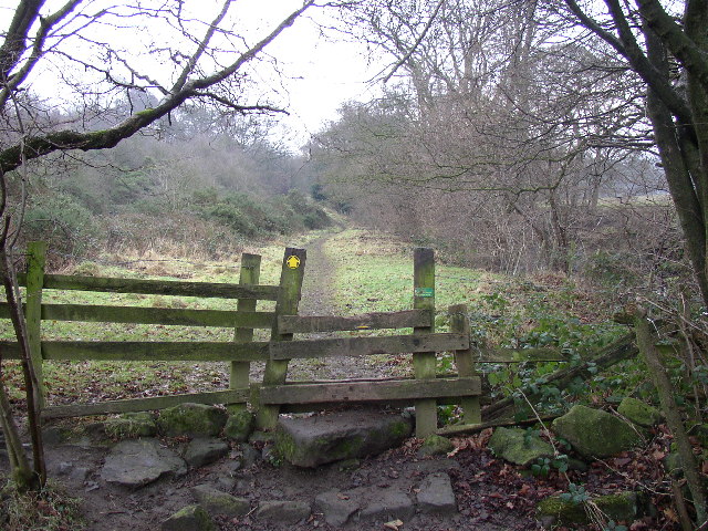
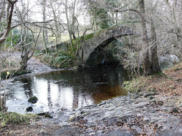
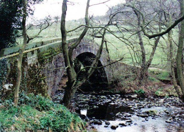
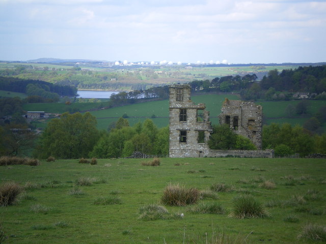
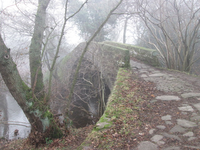
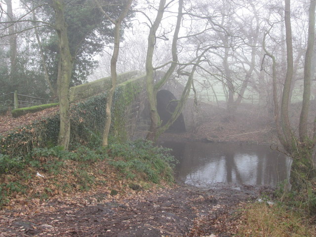
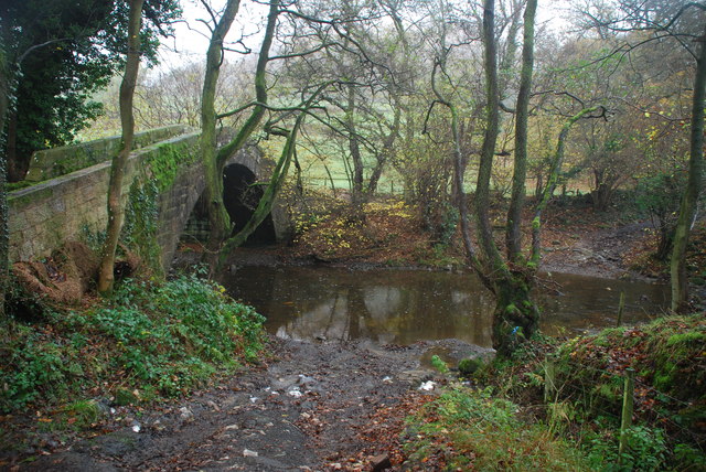
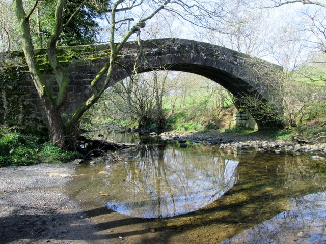
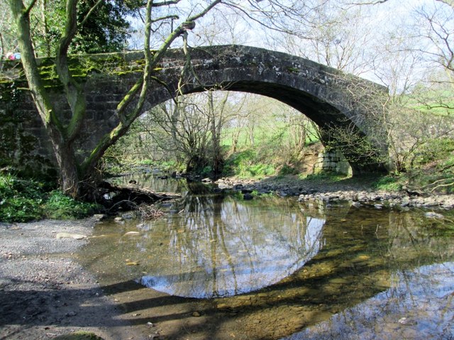
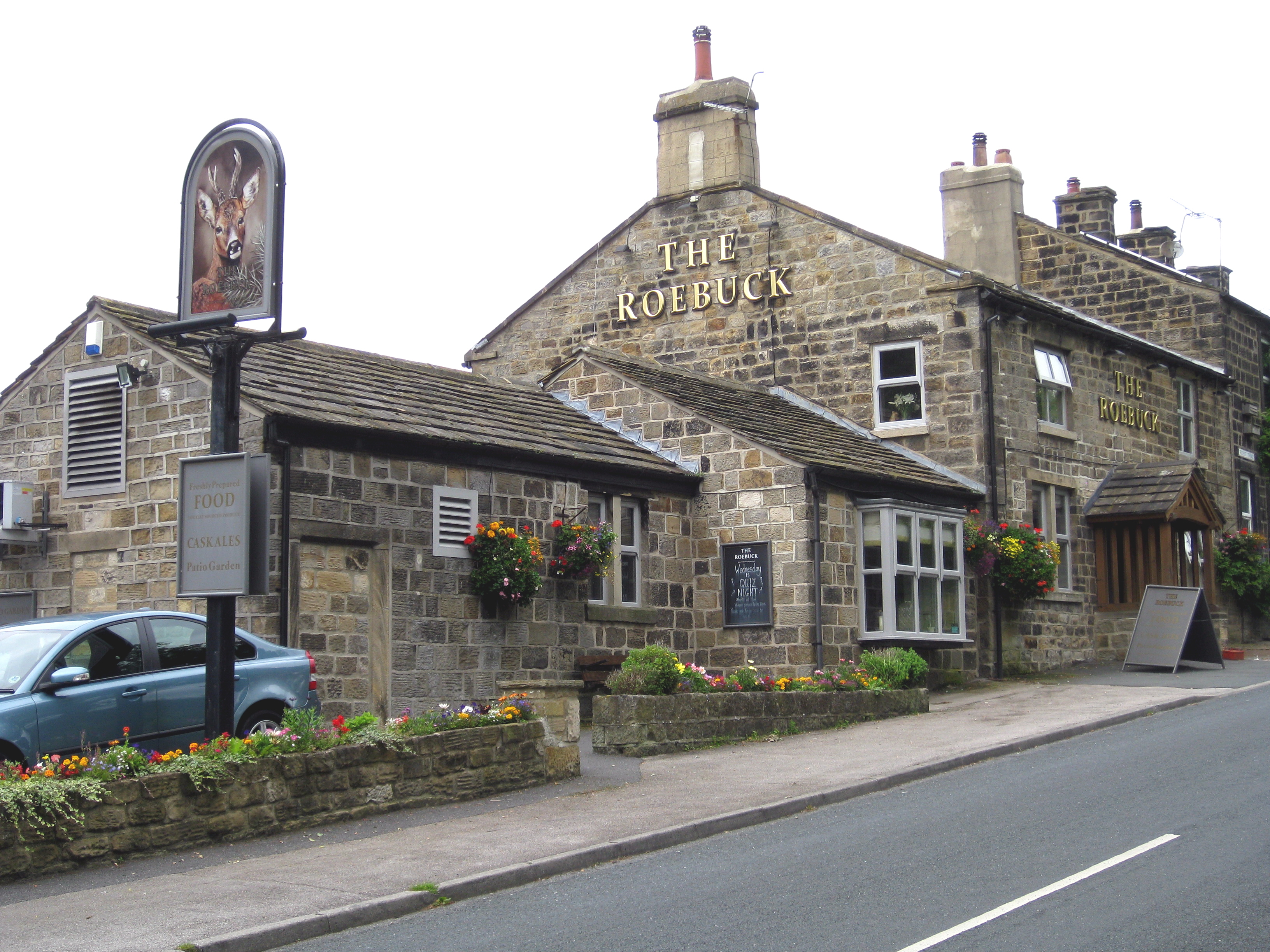
Farnley Moor Images
Images are sourced within 2km of 53.938864/-1.689167 or Grid Reference SE2049. Thanks to Geograph Open Source API. All images are credited.
Farnley Moor is located at Grid Ref: SE2049 (Lat: 53.938864, Lng: -1.689167)
Division: West Riding
Administrative County: North Yorkshire
District: Harrogate
Police Authority: North Yorkshire
What 3 Words
///shades.bench.destroyer. Near Otley, West Yorkshire
Nearby Locations
Related Wikis
Newall with Clifton
Newall with Clifton (historically also spelt Newell with Clifton) is a civil parish in North Yorkshire, England. It lies two miles north of Otley in West...
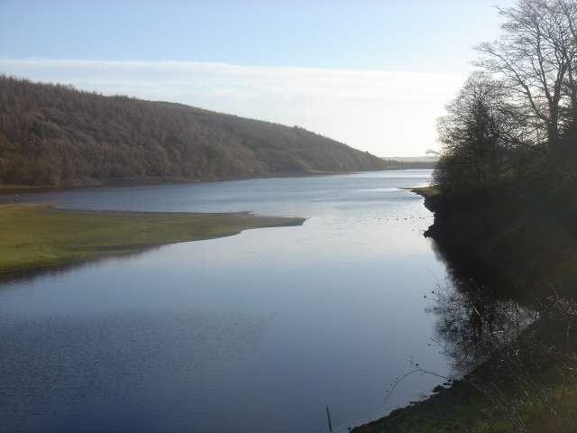
Lindley Wood Reservoir
Lindley Wood Reservoir is located in the Washburn valley north of Otley in Yorkshire, England. == History == The reservoir was built by navvies between...
Farnley, North Yorkshire
Farnley is a village and civil parish in the Harrogate district of North Yorkshire, England, near Otley, West Yorkshire. The name "Farnley" indicates that...

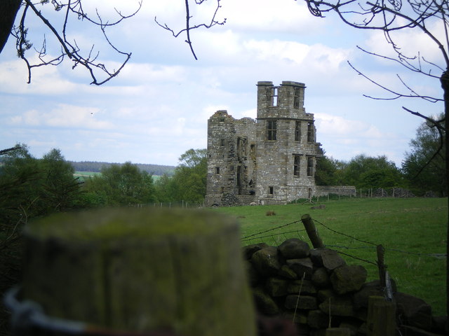
Farnley Hall, North Yorkshire
Farnley Hall is a stately home in Farnley, North Yorkshire, England. It is located near Otley. The original early seventeenth-century house was added to...
Lindley, North Yorkshire
Lindley is a village and civil parish in the Harrogate district of North Yorkshire, England. It is near Lindley Wood Reservoir and 1 mile north of Otley...

Wharfedale Hospital
Wharfedale Hospital (formerly known as Wharfedale General Hospital) is located in the market town of Otley, West Yorkshire, England, and is managed by...

Newall, West Yorkshire
Newall (historically also spelt Newell) is an area of Otley in West Yorkshire, England. It lies on the north bank of the River Wharfe, across Otley Bridge...

Prince Henry's Grammar School, Otley
Prince Henry's Grammar School (Specialist Language College), also known as Prince Henry's or PHGS, is a secondary school and sixth form established in...
Related Videos


A Wonderful Forest Adventure and the Tree Whisperer🤣 #hiking #ukforests #walkingforwellness #nature
We visit Stainburn Forest between Otley and Harrogate. A lovely walk through large pine forests to benefit our wellbeing.

Spotting a 'Panda' in the woods! A Walk round Stainburn Forest #walkingforwellness #ellofawalk
We take a walk round Stainburn Forest. A beautiful place to take stroll along well maintained paths. We delve deeper into the ...

Lindley Wood Reservoir
https://www.outdoorswimmingsociety.com/understanding-reservoirs/ ...
Nearby Amenities
Located within 500m of 53.938864,-1.689167Have you been to Farnley Moor?
Leave your review of Farnley Moor below (or comments, questions and feedback).