Fyfield Down
Downs, Moorland in Wiltshire
England
Fyfield Down
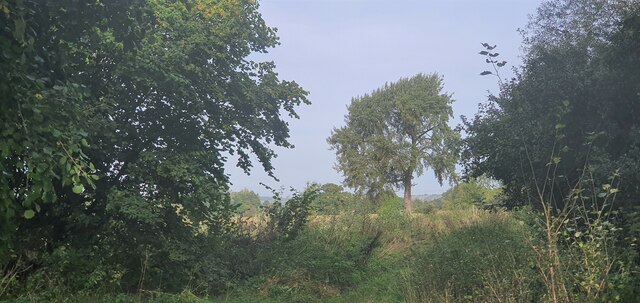
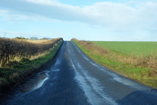
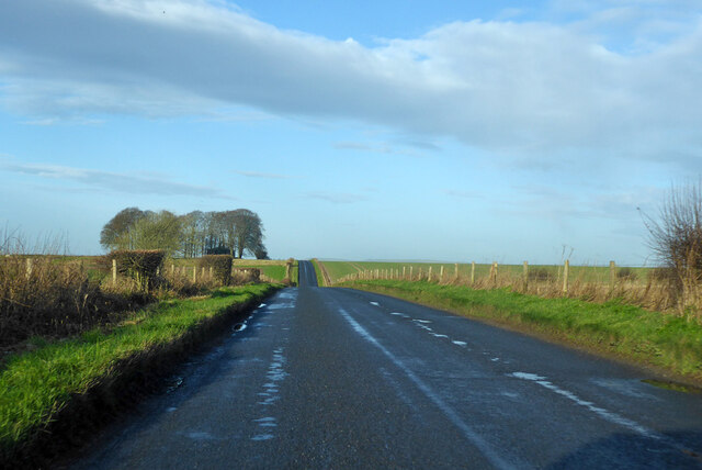
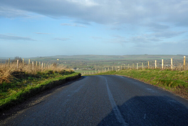
Fyfield Down is a vast expanse of downland located in the county of Wiltshire, England. Stretching over an area of approximately 300 hectares, it is a notable example of the stunning natural landscapes that characterize the region. Situated within the Marlborough Downs, Fyfield Down lies just northeast of the village of Lockeridge, offering breathtaking views of the surrounding countryside.
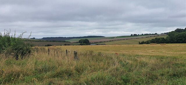
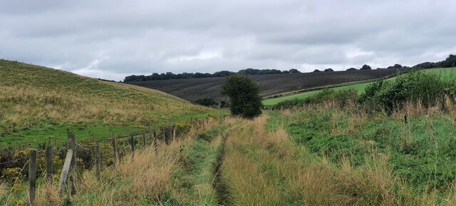
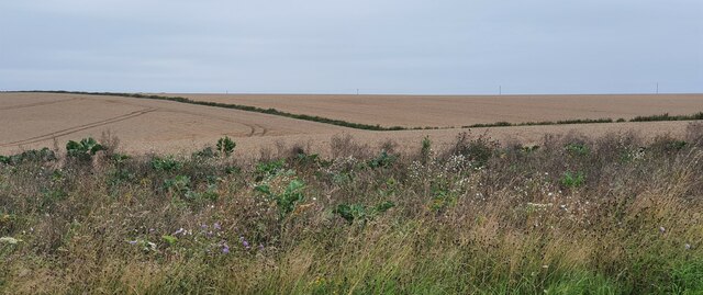
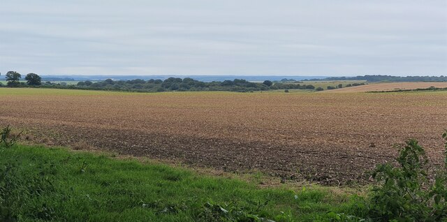
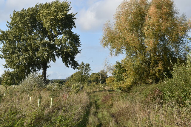
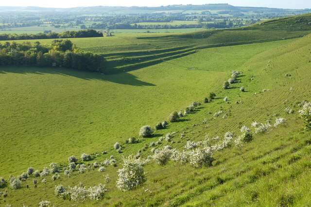
The terrain of Fyfield Down is primarily composed of chalk grassland, which is a rare and valuable habitat in the UK. This type of landscape is characterized by rolling hills and open fields, covered in a diverse array of grasses, wildflowers, and scattered patches of thorny scrub. The area is renowned for its rich biodiversity, supporting a wide range of plant and animal species. Visitors to Fyfield Down can expect to encounter a variety of wildflowers during the spring and summer months, including orchids, cowslips, and harebells.
Aside from its natural beauty, Fyfield Down also holds historical significance. The site is home to numerous ancient burial mounds and barrows, dating back to the Neolithic and Bronze Age periods. These archaeological features provide insight into the area's rich cultural heritage and offer visitors a glimpse into the lives of the people who once inhabited this land.
Fyfield Down is a cherished destination for nature enthusiasts, hikers, and history buffs alike. Its serene and unspoiled landscapes, combined with its historical significance, make it a must-visit location for anyone seeking to explore the beauty and heritage of Wiltshire's countryside.
If you have any feedback on the listing, please let us know in the comments section below.
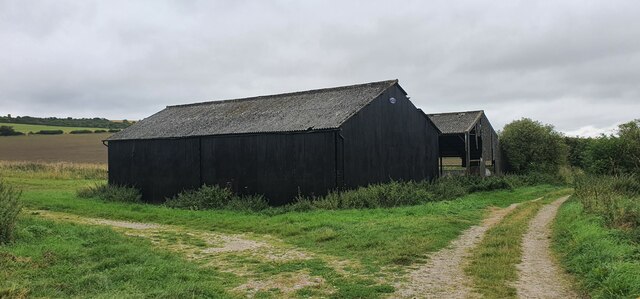
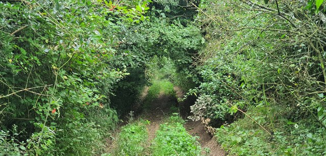
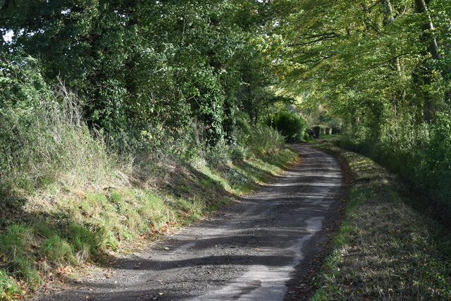
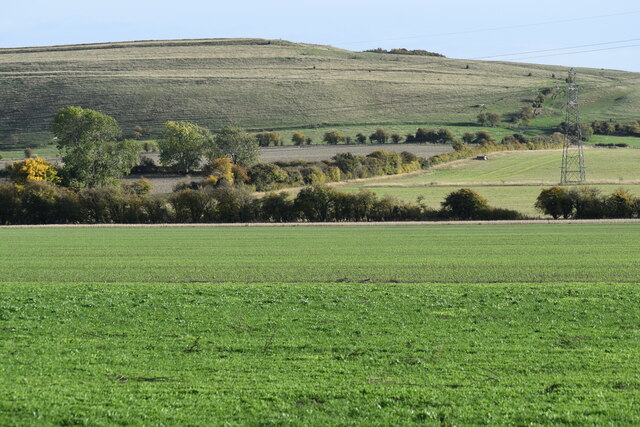
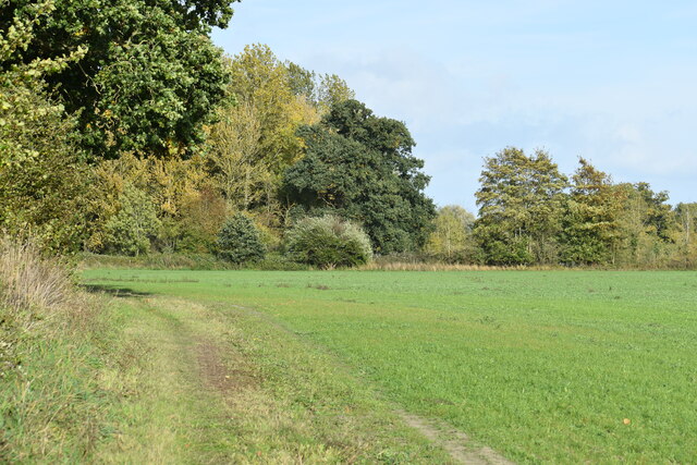
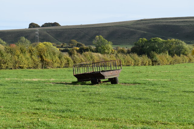
Fyfield Down Images
Images are sourced within 2km of 51.324413/-1.7315135 or Grid Reference SU1858. Thanks to Geograph Open Source API. All images are credited.
Fyfield Down is located at Grid Ref: SU1858 (Lat: 51.324413, Lng: -1.7315135)
Unitary Authority: Wiltshire
Police Authority: Wiltshire
What 3 Words
///bogus.sunset.wardrobe. Near Pewsey, Wiltshire
Nearby Locations
Related Wikis
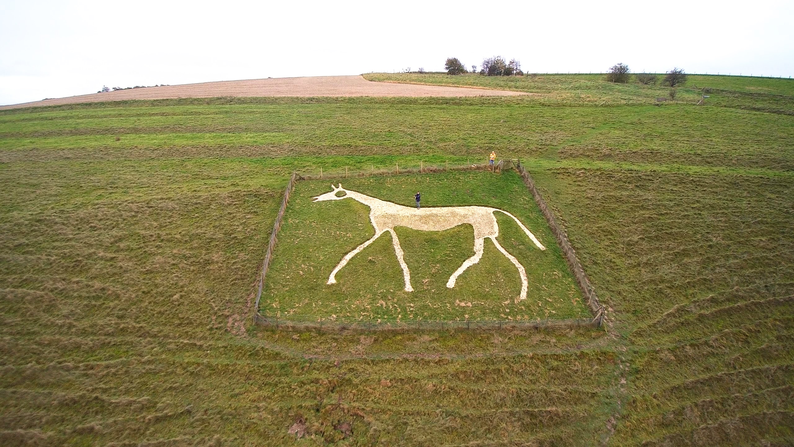
Pewsey White Horse
Pewsey White Horse is a hill figure of a white horse near the village of Pewsey, Wiltshire, England. Cut of chalk in 1937, it replaces an earlier horse...

Milton Lilbourne
Milton Lilbourne is a village and civil parish in the county of Wiltshire, England, in the Vale of Pewsey between Pewsey and Burbage. It is largely a mixed...

Fyfield, Milton Lilbourne
Fyfield is a small hamlet about 1 mile (1.6 km) east of Pewsey, Wiltshire, England. It is to be distinguished from the larger village of Fyfield, three...
Pewsey Vale F.C.
Pewsey Vale F.C. is a football club based in the village of Pewsey, Wiltshire, England. They play in the Wiltshire Premier League. == History == The club...

Pewsey
Pewsey is a large village and civil parish at the centre of the Vale of Pewsey in Wiltshire, about 6 miles (10 km) south of Marlborough and 71 miles (114...

Easton Royal
Easton Royal is a village in the civil parish of Easton in Wiltshire, England, about 3 miles (5 km) east of Pewsey and 5 miles (8 km) south of Marlborough...

Pewsey railway station
Pewsey railway station serves the large village of Pewsey in the county of Wiltshire, England. The station is on the Berks and Hants line, 75 miles 26...
Pewsey Vale School
Pewsey Vale School is a small, mixed secondary school in Pewsey, Wiltshire, England, for children aged 11 to 16. It became an academy in July 2011. The...
Nearby Amenities
Located within 500m of 51.324413,-1.7315135Have you been to Fyfield Down?
Leave your review of Fyfield Down below (or comments, questions and feedback).