Black Heath

Downs, Moorland in Hampshire New Forest

England

Black Heath

Path into Milkham Inclosure
Path into Milkham Inclosure Credit: David Martin

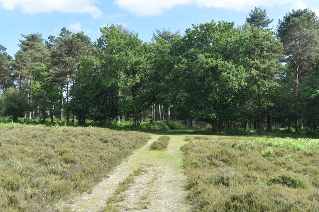
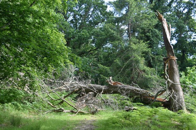
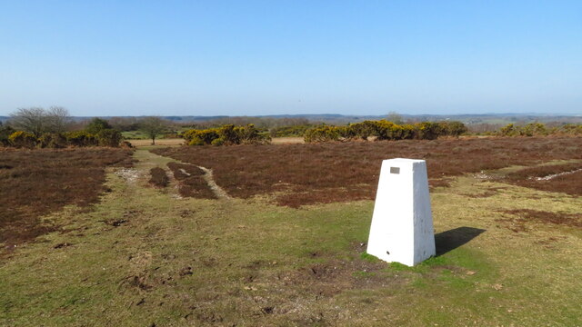
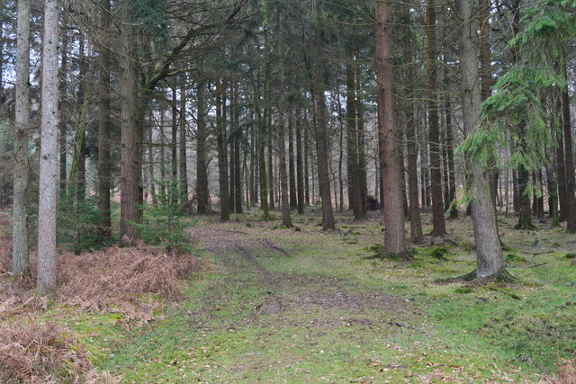
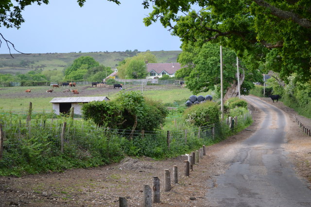
Black Heath is a picturesque area located in Hampshire, England, known for its stunning downs and moorland landscapes. Situated in the heart of the South Downs National Park, it offers a diverse range of natural beauty and outdoor activities for visitors to enjoy.

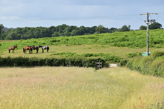
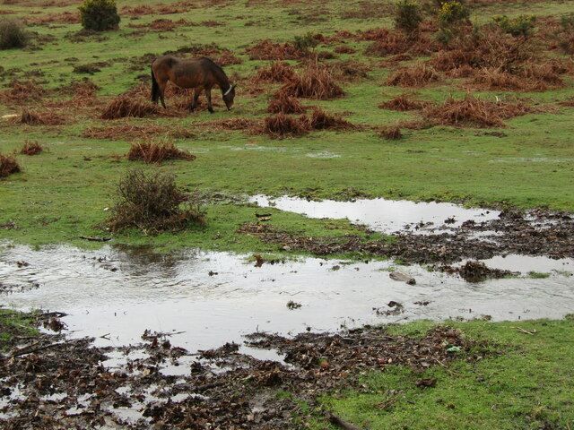
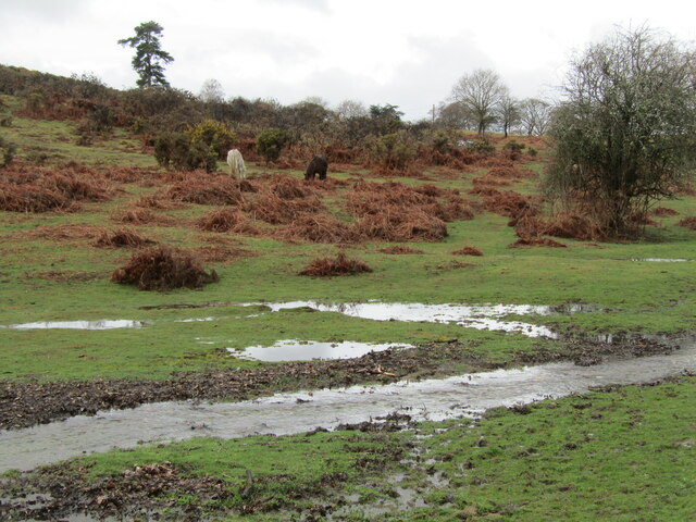
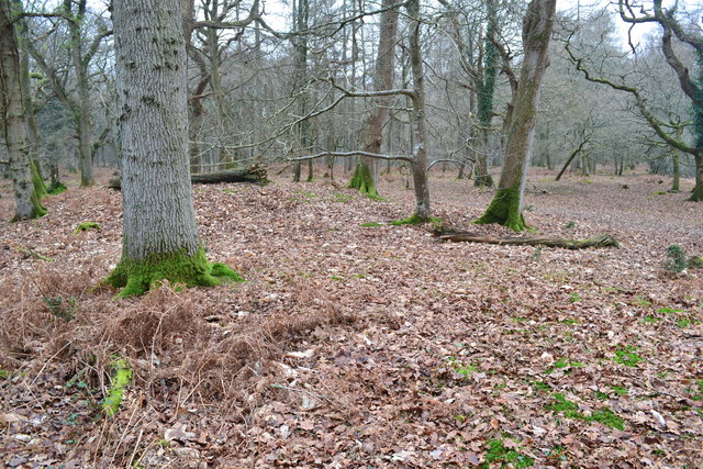
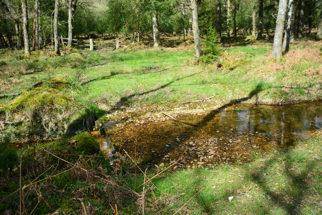
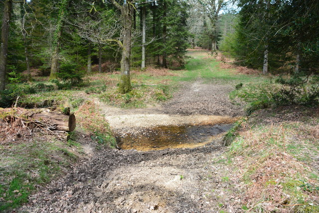
The heath is characterized by its rolling hills, vast open spaces, and panoramic views, making it a popular destination for hikers, nature enthusiasts, and photographers. The moorland, with its rugged terrain and unique flora and fauna, provides a haven for wildlife and attracts birdwatchers and wildlife photographers.

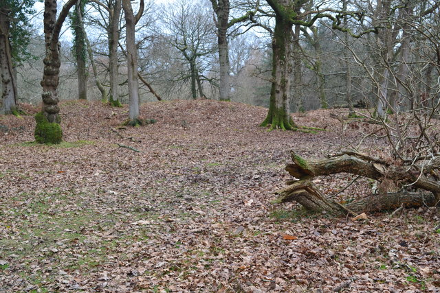
The area is also rich in history, with archaeological sites dating back thousands of years. Ancient burial mounds and remnants of Iron Age settlements can be found scattered across the heath, providing a glimpse into the region's past.

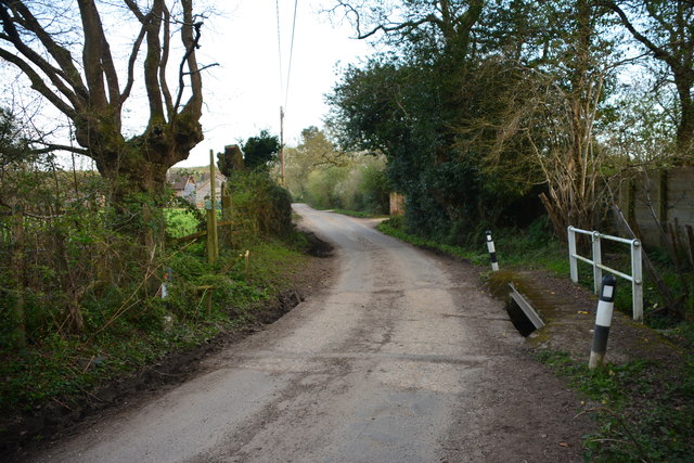
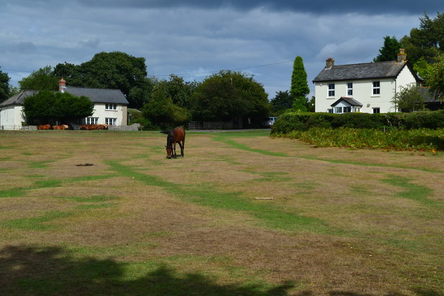
In addition to its natural and historical attractions, Black Heath offers a range of recreational activities. Visitors can explore numerous walking and cycling trails that wind through the countryside, taking in the breathtaking scenery along the way. The heath is also a popular spot for horse riding, with several equestrian centers offering guided tours and lessons.

For those seeking a tranquil escape from the hustle and bustle of city life, Black Heath provides a serene and idyllic setting. Its unspoiled landscapes, diverse wildlife, and rich history make it a must-visit destination for nature lovers and history enthusiasts alike.

If you have any feedback on the listing, please let us know in the comments section below.
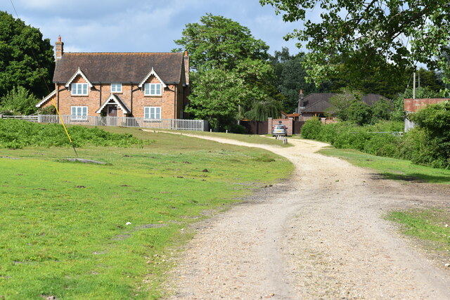
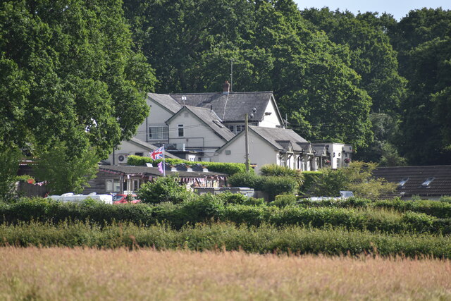
Black Heath Images

Images are sourced within 2km of 50.890469/-1.7342124 or Grid Reference SU1810. Thanks to Geograph Open Source API. All images are credited.

Path into Milkham Inclosure
Track past Forest View Farm
The Red Shoot pub and campsite
Field edge at Linwood The ponies are grazing on an area of access land known as Black Heath.
Field edge at Linwood
The ponies are grazing on an area of access land known as Black Heath.
Fallen tree at Castle Piece This large fallen tree is within the embankment of the iron age hillfort at Castle Piece.
Fallen tree at Castle Piece
This large fallen tree is within the embankment of the iron age hillfort at Castle Piece.
Trig Point at Whitefield Plantation, Mockbeggar
Appleslade Bottom New Forest ponies grazing on a valley floor by Linwood.
<span class="nowrap"><a title="www.newforestnpa.gov.uk" rel="nofollow ugc noopener" href="http://www.newforestnpa.gov.uk">Link</a><img style="margin-left:2px;" alt="External link" title="External link - shift click to open in new window" src="https://s1.geograph.org.uk/img/external.png" width="10" height="10"/></span>
Appleslade Bottom
New Forest ponies grazing on a valley floor by Linwood. LinkExternal link
Appleslade Bottom New Forest ponies on a boggy valley bottom by Linwood.
<span class="nowrap"><a title="www.newforestnpa.gov.uk" rel="nofollow ugc noopener" href="http://www.newforestnpa.gov.uk">Link</a><img style="margin-left:2px;" alt="External link" title="External link - shift click to open in new window" src="https://s1.geograph.org.uk/img/external.png" width="10" height="10"/></span>
Appleslade Bottom
New Forest ponies on a boggy valley bottom by Linwood. LinkExternal link
Road across Rockford Common
Grassy track in the forest, Roe Inclosure
Castle Piece hill fort, Roe Inclosure A fairly complete circular earth embankment, believed to be an iron age hill fort <span class="nowrap"><a title="http://www.megalithic.co.uk/article.php?sid=11605" rel="nofollow ugc noopener" href="http://www.megalithic.co.uk/article.php?sid=11605">Link</a><img style="margin-left:2px;" alt="External link" title="External link - shift click to open in new window" src="https://s1.geograph.org.uk/img/external.png" width="10" height="10"/></span>
Castle Piece hill fort, Roe Inclosure
A fairly complete circular earth embankment, believed to be an iron age hill fort LinkExternal link
Castle Piece hill fort, Roe Inclosure Here, standing on the earth embankment in the centre of <a href="https://www.geograph.org.uk/photo/5279273">SU1908 : Castle Piece hill fort, Roe Inclosure</a>, the outline is much harder to see than from a distance.
Castle Piece hill fort, Roe Inclosure
Here, standing on the earth embankment in the centre of SU1908 : Castle Piece hill fort, Roe Inclosure, the outline is much harder to see than from a distance.
Linwood Ford This ford is found on Toms Lane at Linwood.
Linwood Ford
This ford is found on Toms Lane at Linwood.
Ford at Linwood This is one of five fords in the Inclosure at Linwood.
Ford at Linwood
This is one of five fords in the Inclosure at Linwood.
Ford at Linwood This is one of five fords at Linwood.
Ford at Linwood
This is one of five fords at Linwood.
Toms Lane from the Red Shoot Inn
The Red Shoot Inn
The Red Shoot Inn
Forest cottages at Appleslade Bottom
Show me another place!

Black Heath is located at Grid Ref: SU1810 (Lat: 50.890469, Lng: -1.7342124)

Administrative County: Hampshire

District: New Forest

Police Authority: Hampshire

What 3 Words

///cabbage.relief.placidly. Near Fordingbridge, Hampshire

Related Wikis

Linwood, Hampshire

Linwood is a hamlet in the New Forest National Park of Hampshire, England. Its nearest town is Ringwood, which lies approximately 4.2 miles (5.9 km) south...

Furze Hill

Furze Hill (or Furzehill) is a hamlet situated in the New Forest National Park of Hampshire, England. It is in the civil parish of Ellingham, Harbridge...

Ellingham, Harbridge and Ibsley

Ellingham, Harbridge and Ibsley is a civil parish in the west of the English county of Hampshire. The population of the civil parish at the 2011 Census...

Gorley Lynch

Gorley Lynch is a hamlet in the civil parish of Gorley in the New Forest National Park of Hampshire, England. It is in the civil parish of Hyde. Its nearest...

Ogdens

Ogdens is a small hamlet south of Hyde Common near Frogham in the New Forest area of Hampshire, England. Ogdens is a hamlet in the civil parish of Hyde...

Gorley Hill

Gorley Hill is the site of a former Iron Age promontory hillfort located in Hampshire in the United Kingdom. The fort once occupied the southwestern corner...

South Gorley

South Gorley is a hamlet in the New Forest National Park of Hampshire, England. It is in the civil parish of Ellingham, Harbridge and Ibsley. Its nearest...

Mockbeggar, Hampshire

Mockbeggar is a hamlet in the New Forest National Park of Hampshire, England. Its nearest town is Ringwood, which lies approximately 3 miles (5.6 km) south...

Nearby Amenities

Located within 500m of 50.890469,-1.7342124
Barrier: stile
Foot: yes
Lat/Long: 50.8907227/-1.7272071
Black Heath
Place: locality
Lat/Long: 50.8893847/-1.7339936
Lcn Ref: 44
Lat/Long: 50.8930376/-1.7337746
Barrier: stile
Lat/Long: 50.8876539/-1.7341671
Linwood Bog
Place: locality
Lat/Long: 50.8918929/-1.7404873
Ford: yes
Lat/Long: 50.8920614/-1.7368218
North Hollow Bridge
Place: locality
Lat/Long: 50.8920564/-1.7369623
Ford: yes
Lat/Long: 50.8876358/-1.7326798
The data included in this document is from www.openstreetmap.org. The data is made available under ODbL.

Have you been to Black Heath?

Leave your review of Black Heath below (or comments, questions and feedback).