Front Park
Downs, Moorland in Yorkshire Richmondshire
England
Front Park
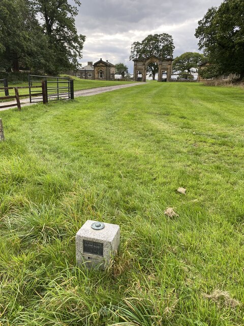
Front Park is a picturesque natural reserve located in Yorkshire, England. Situated on the outskirts of the county, the park spans across the stunning landscapes of the Yorkshire Downs and Moorland. Covering an expansive area of approximately 500 hectares, Front Park is a haven for nature enthusiasts and outdoor adventurers alike.
The park boasts a diverse range of habitats, showcasing the region's rich biodiversity. Visitors can explore vast open fields, rolling hills, and dense woodlands, each providing a unique experience. The Yorkshire Downs, characterized by their gentle slopes and lush greenery, offer breathtaking panoramic views of the surrounding countryside.
Moorland areas within the park are a sight to behold, with their vast expanses of heather and gorse. These areas are home to a variety of wildlife, including the iconic red grouse and the elusive curlew. Keen birdwatchers are often rewarded with the opportunity to spot rare species such as the merlin or the short-eared owl.
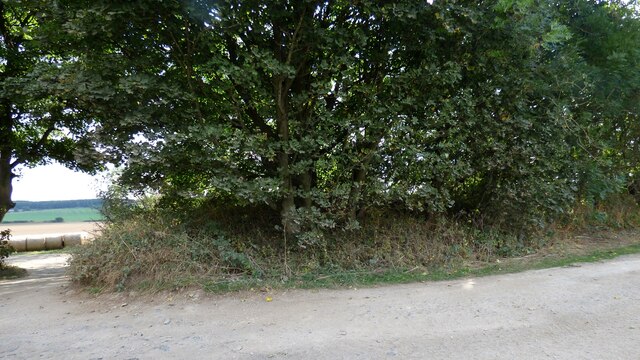
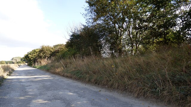
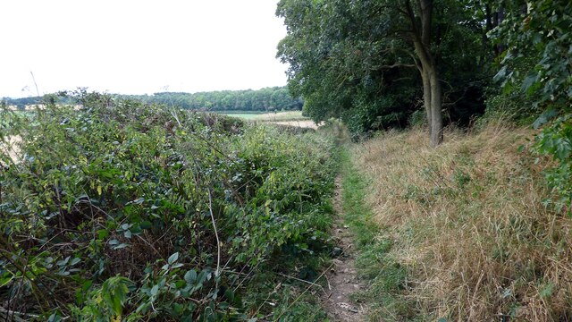
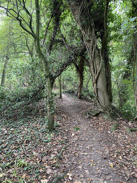
Front Park offers an extensive network of walking trails, catering to all levels of fitness and ability. Whether it's a leisurely stroll or a challenging hike, visitors can choose from a range of routes that wind through the park's diverse landscapes. Along these trails, one can encounter ancient ruins, picturesque streams, and even hidden waterfalls.
For those seeking tranquility and a connection with nature, Front Park in Yorkshire is a must-visit destination. With its stunning vistas, diverse wildlife, and an array of recreational activities, visitors are sure to leave with lasting memories of this enchanting natural reserve.
If you have any feedback on the listing, please let us know in the comments section below.
Front Park Images
Images are sourced within 2km of 54.504078/-1.7339568 or Grid Reference NZ1712. Thanks to Geograph Open Source API. All images are credited.
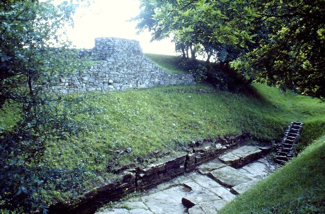
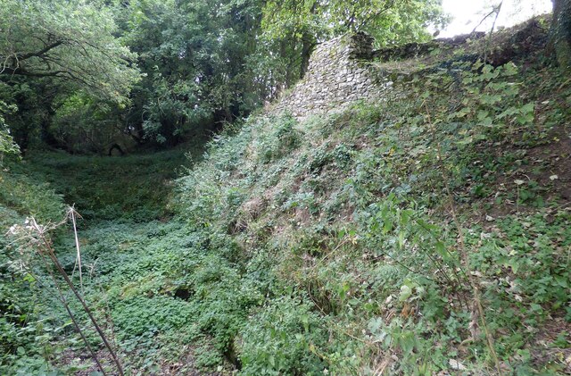
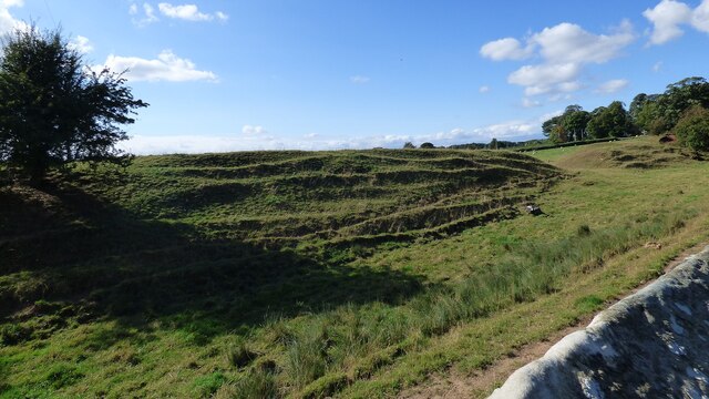
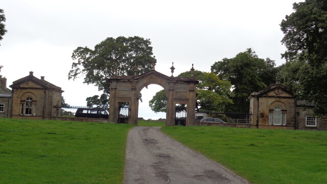
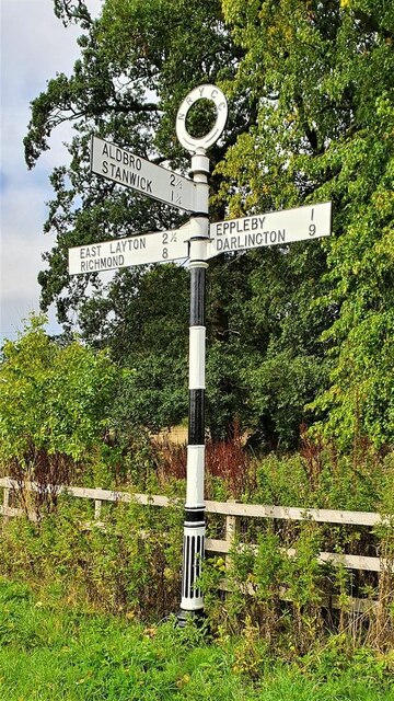
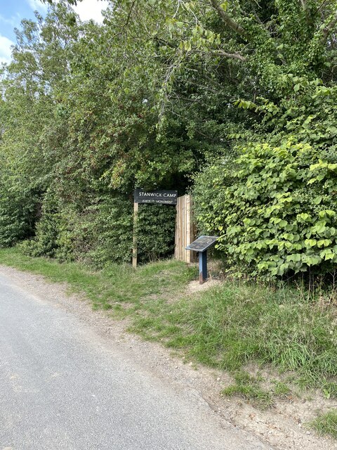
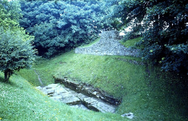
![Stanwick Fortifications [1] The entrance from the minor road.
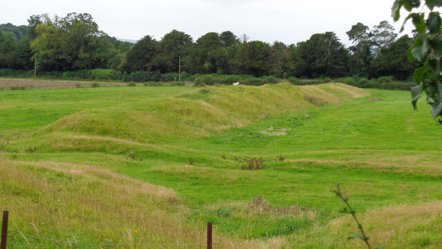
Stanwick Iron Age Fortifications is a huge Iron Age hill fort, sometimes regarded as an oppidum, located in Richmondshire, North Yorkshire, some 7 miles west of Darlington. Over 5½ miles of ditches and ramparts enclosed approximately 740 acres of land, the stronghold of the Brigantes kingdom during the early stages of the Roman occupation of Britain. The features now visible are the excavated remains of only a small part of the site. A Scheduled Ancient Monument with much detail at: <span class="nowrap"><a title="https://historicengland.org.uk/listing/the-list/list-entry/1016199" rel="nofollow ugc noopener" href="https://historicengland.org.uk/listing/the-list/list-entry/1016199">Link</a><img style="margin-left:2px;" alt="External link" title="External link - shift click to open in new window" src="https://s1.geograph.org.uk/img/external.png" width="10" height="10"/></span>](https://s3.geograph.org.uk/geophotos/07/31/89/7318911_73599a8b.jpg)
Front Park is located at Grid Ref: NZ1712 (Lat: 54.504078, Lng: -1.7339568)
Division: North Riding
Administrative County: North Yorkshire
District: Richmondshire
Police Authority: North Yorkshire
What 3 Words
///dish.logic.beauty. Near Hutton Magna, Co. Durham
Nearby Locations
Related Wikis

Forcett Hall
Forcett Hall is an English country house in the village of Forcett, North Yorkshire, England, some 6.5 miles (10 km) west of Darlington. It is a Grade...

Forcett
Forcett is a village in the Richmondshire district of North Yorkshire, England. It lies near the border with County Durham, on the B6274 road about 8 miles...
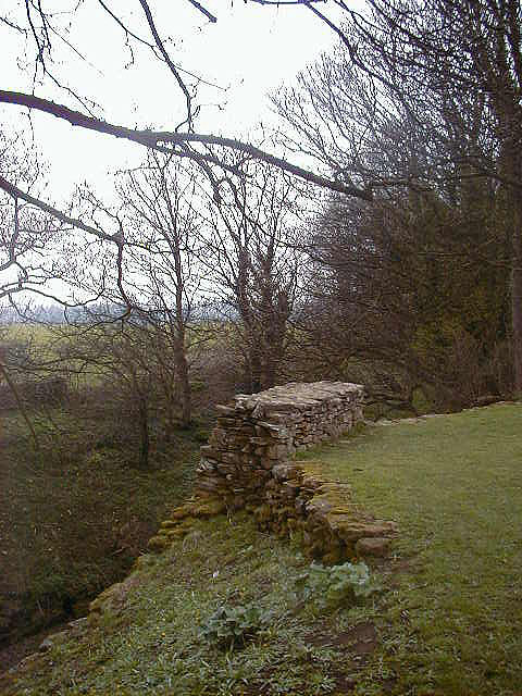
Stanwick Iron Age Fortifications
Stanwick Iron Age Fortifications (also known as 'Stanwick Camp'), a huge Iron Age hill fort, sometimes but not always considered an oppidum, comprising...

Eppleby
Eppleby is a village and civil parish in the Richmondshire district of North Yorkshire, England. It is located about 7 miles (11 km) north of Richmond...

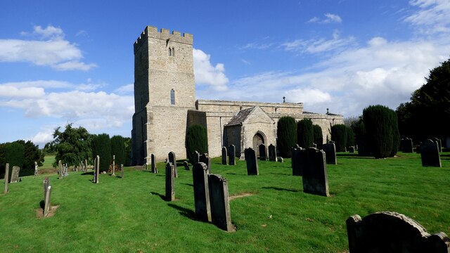
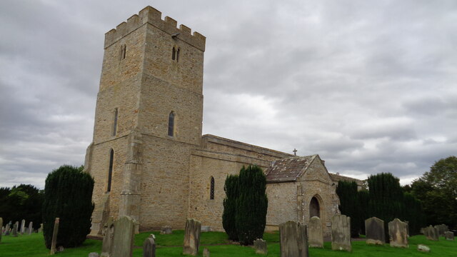
St John the Baptist's Church, Stanwick
St John the Baptist's Church is a redundant Anglican church in the village of Stanwick St John, North Yorkshire, England. It is recorded in the National...

Stanwick Park
Stanwick Park (also known as Stanwick Hall) was a Palladian country house at Stanwick St John in North Yorkshire, England. == History == It was re-built...
Stanwick St John
Stanwick St John is a village, civil parish, former manor and ecclesiastical parish in the Richmondshire district of North Yorkshire, (formerly "North...
Caldwell, North Yorkshire
Caldwell is a village and civil parish in the Richmondshire district of North Yorkshire, England, close to the border with County Durham and approximately...
Related Videos
Coast to Coast - Day 8 of 12 - Reeth to Richmond.
Coast to Coast - Day 8 of 12 - Reeth to Richmond. The coast to coast is a 192-mile long-distance footpath in Northern England ...


Visiting Richmond and Leyburn in North Yorkshire | Tiger Tom and Wild Will
Visiting Richmond and Leyburn in North Yorkshire | Tiger Tom and Wild Will It was Tom's birthday weekend and we all love to get ...

Brigante Forts, Viking markers & Churches - Stanwick 🇬🇧
In historic Forcett (North Yorkshire England) I visit Forcett Hall , with a gatehouse, coaching area and Hall. St John The Baptists ...
Nearby Amenities
Located within 500m of 54.504078,-1.7339568Have you been to Front Park?
Leave your review of Front Park below (or comments, questions and feedback).