Forcett
Settlement in Yorkshire Richmondshire
England
Forcett
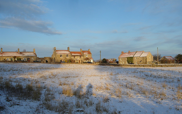
Forcett is a small village located in the district of Richmondshire, in the county of Yorkshire, England. Situated on the banks of the River Tees, Forcett is nestled amidst picturesque countryside, offering spectacular views of rolling hills and green landscapes.
With a population of around 150 residents, Forcett is a close-knit community with a rich history that can be traced back to the Roman era. Evidence of Roman settlements and artifacts have been discovered in the surrounding areas, highlighting the village's historical significance.
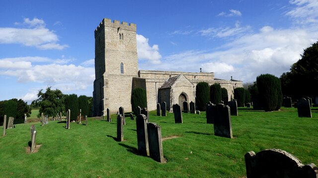
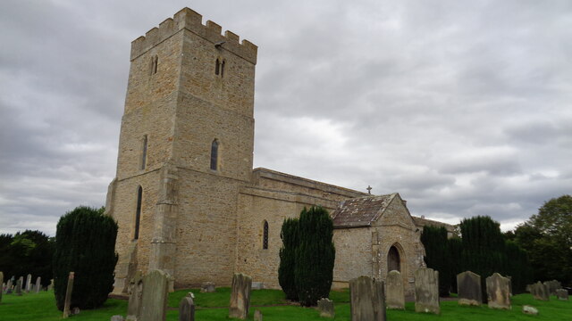
The village is characterized by its charming traditional stone houses and well-maintained gardens, contributing to its quaint and peaceful atmosphere. The local church, St. Cuthbert's, is a prominent landmark, dating back to the 12th century and featuring stunning medieval architecture.
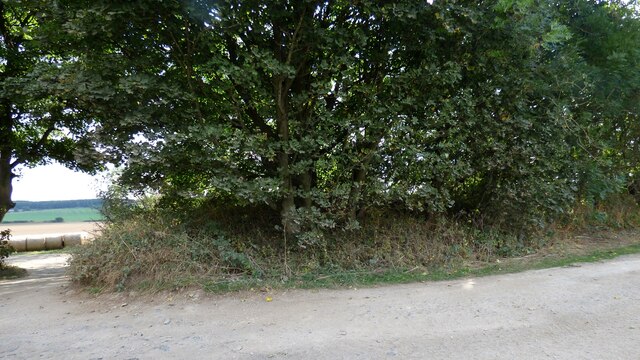
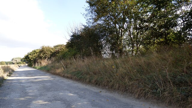
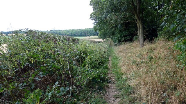
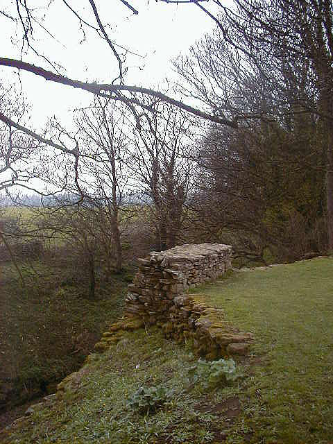
Forcett is surrounded by several walking trails and nature reserves, making it an ideal destination for outdoor enthusiasts. The nearby Marwood Reservoir offers opportunities for fishing and birdwatching, attracting visitors from all over the region.
While Forcett is primarily a residential village, it benefits from its proximity to nearby towns and cities such as Richmond and Darlington, which provide access to a wider range of amenities and services. The village also has a local pub, The Greyhound Inn, which serves as a social hub for both residents and visitors.
Overall, Forcett offers a tranquil and idyllic setting, appealing to those seeking a peaceful retreat in the heart of the Yorkshire countryside.
If you have any feedback on the listing, please let us know in the comments section below.
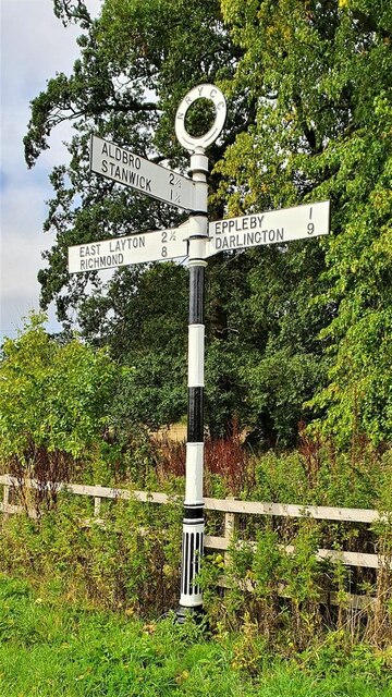
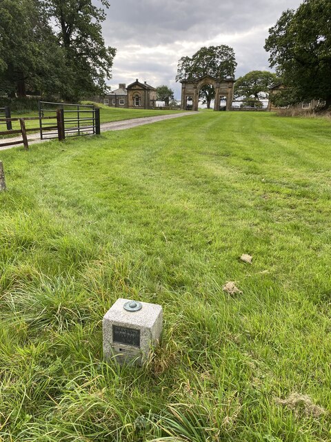
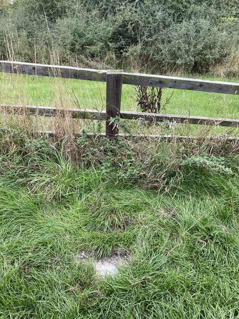
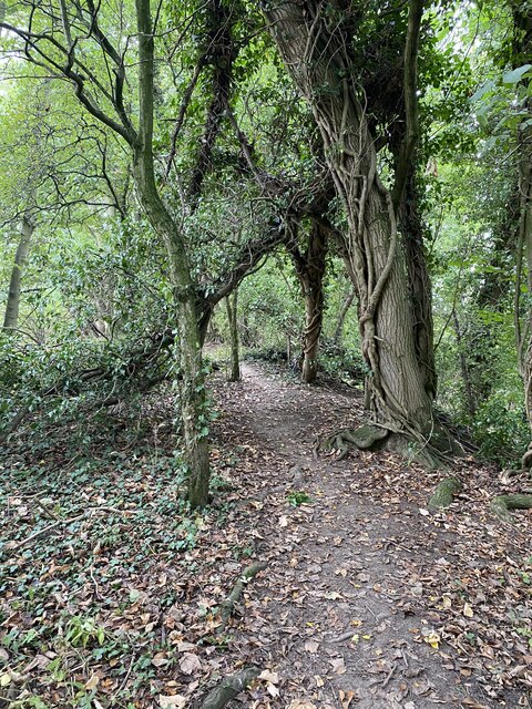
Forcett Images
Images are sourced within 2km of 54.506104/-1.729999 or Grid Reference NZ1712. Thanks to Geograph Open Source API. All images are credited.

Forcett is located at Grid Ref: NZ1712 (Lat: 54.506104, Lng: -1.729999)
Division: North Riding
Administrative County: North Yorkshire
District: Richmondshire
Police Authority: North Yorkshire
What 3 Words
///display.homework.boils. Near Gainford, Co. Durham
Nearby Locations
Related Wikis

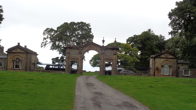
Forcett Hall
Forcett Hall is an English country house in the village of Forcett, North Yorkshire, England, some 6.5 miles (10 km) west of Darlington. It is a Grade...

Forcett
Forcett is a village in the Richmondshire district of North Yorkshire, England. It lies near the border with County Durham, on the B6274 road about 8 miles...
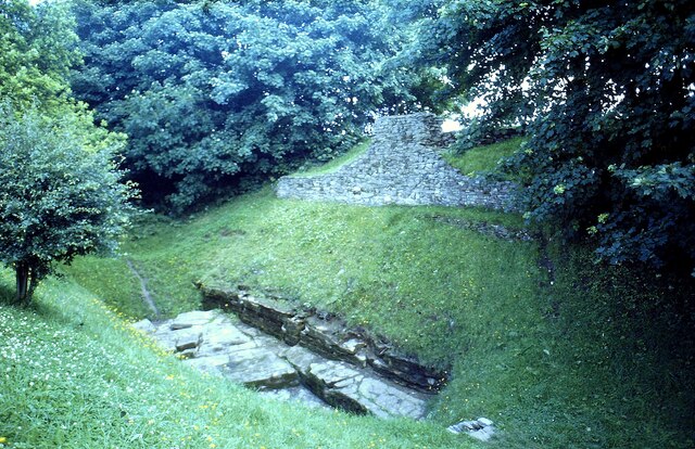
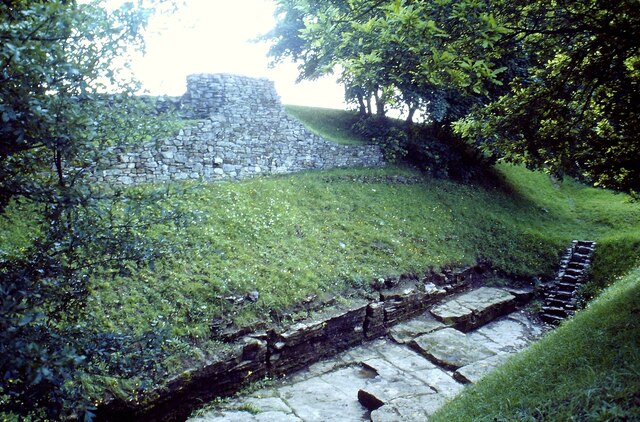
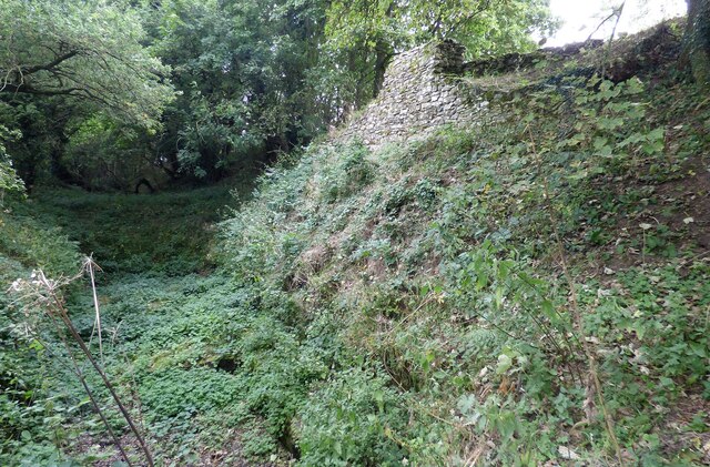
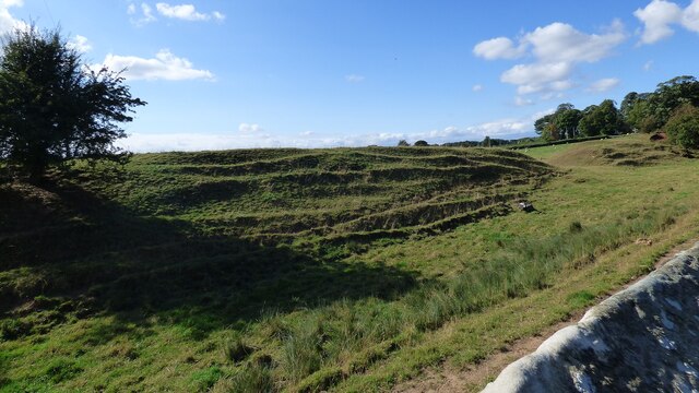
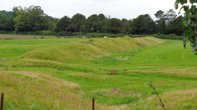
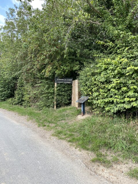
Stanwick Iron Age Fortifications
Stanwick Iron Age Fortifications (also known as 'Stanwick Camp'), a huge Iron Age hill fort, sometimes but not always considered an oppidum, comprising...

Eppleby
Eppleby is a village and civil parish in the Richmondshire district of North Yorkshire, England. It is located about 7 miles (11 km) north of Richmond...

St John the Baptist's Church, Stanwick
St John the Baptist's Church is a redundant Anglican church in the village of Stanwick St John, North Yorkshire, England. It is recorded in the National...

Stanwick Park
Stanwick Park (also known as Stanwick Hall) was a Palladian country house at Stanwick St John in North Yorkshire, England. == History == It was re-built...
Stanwick St John
Stanwick St John is a village, civil parish, former manor and ecclesiastical parish in the Richmondshire district of North Yorkshire, (formerly "North...
Caldwell, North Yorkshire
Caldwell is a village and civil parish in the Richmondshire district of North Yorkshire, England, close to the border with County Durham and approximately...
Nearby Amenities
Located within 500m of 54.506104,-1.729999Have you been to Forcett?
Leave your review of Forcett below (or comments, questions and feedback).