Hulne Park

Downs, Moorland in Northumberland

England

Hulne Park

Hulme Park wall Unfortunately the wretched thing was getting repaired in the background.  The young woodland beyond the wall was infested with alien biomass - pheasants.
Hulme Park wall Credit: Richard Webb

The requested URL returned error: 429 Too Many Requests

If you have any feedback on the listing, please let us know in the comments section below.
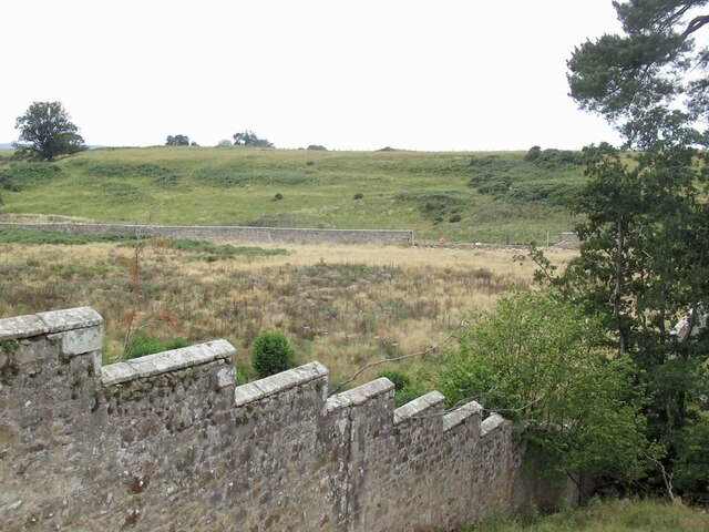
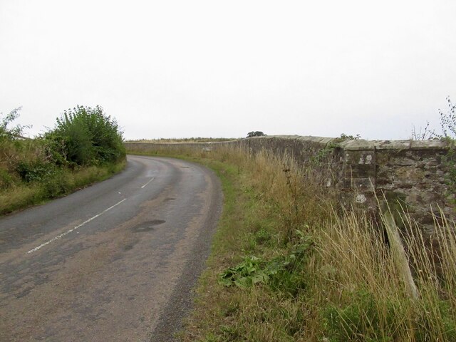
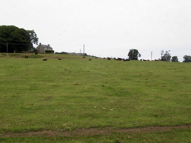
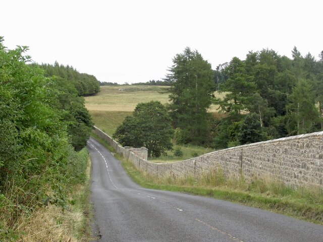
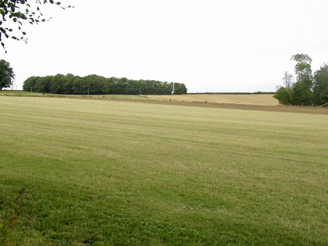
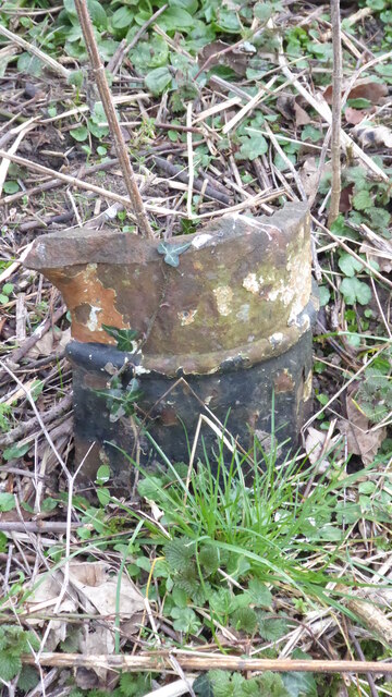
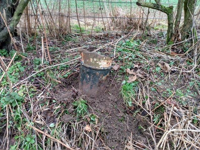
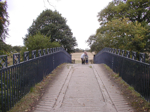
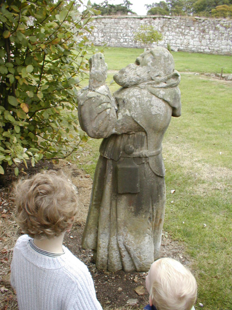
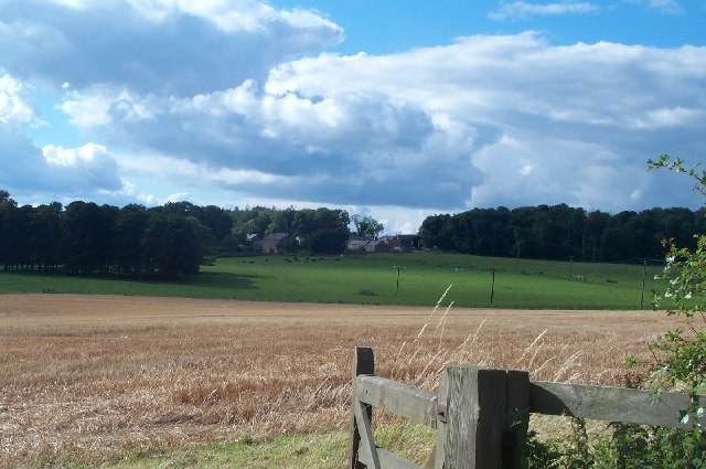
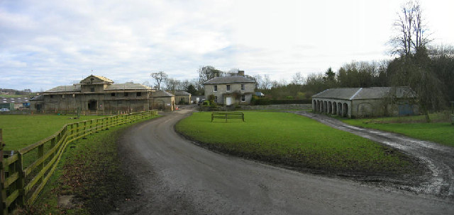
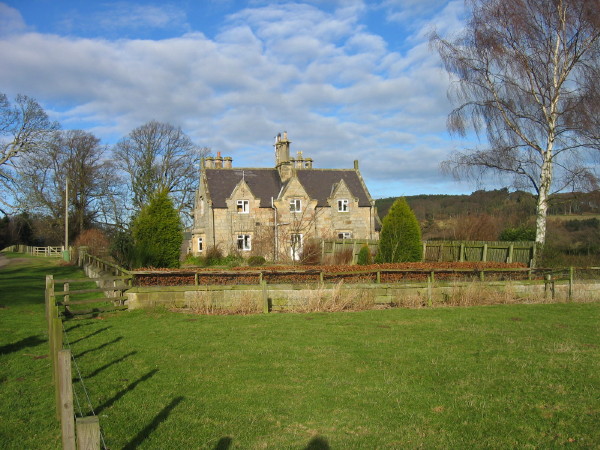
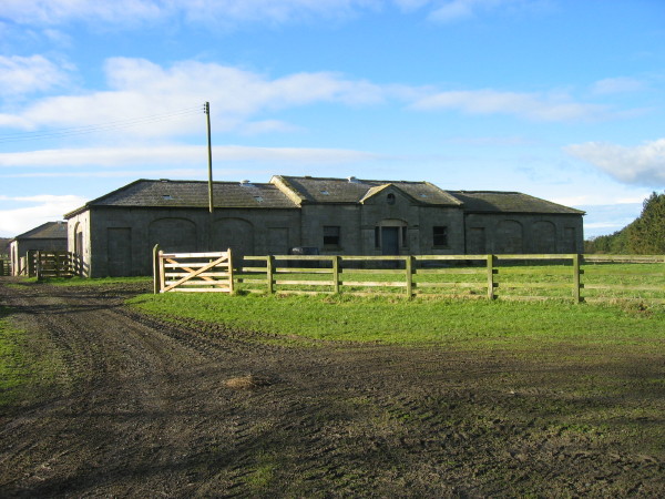
Hulne Park Images

Images are sourced within 2km of 55.435967/-1.7418287 or Grid Reference NU1615. Thanks to Geograph Open Source API. All images are credited.

Hulme Park wall Unfortunately the wretched thing was getting repaired in the background.  The young woodland beyond the wall was infested with alien biomass - pheasants.
Hulme Park wall
Unfortunately the wretched thing was getting repaired in the background. The young woodland beyond the wall was infested with alien biomass - pheasants.
B6346 By the Shipley Burn. Views limited by that wall.
B6346
By the Shipley Burn. Views limited by that wall.
Field by White House
B6346 Passing Hulme Park and that horrid wall.
B6346
Passing Hulme Park and that horrid wall.
Log stacks, Hinding Dean
Round bales Near Alnwick with Heifer Law in the background.
Round bales
Near Alnwick with Heifer Law in the background.
Field beside the Alnwick to Wooler road
Field near Heckley High House
Road junction near Heckley High House A yellow road that looks like a drive.
Road junction near Heckley High House
A yellow road that looks like a drive.
Old Milepost by B6346, 130m South of Blackbog Burn Bridge The Milepost is located by the road on the NorthEast of the road.  Parish of Denwick (Alnwick District). Cast iron post, Patterson twin ovals iron post design, erected by the Alnwick to Eglingham turnpike trust in the 19th Century. Only the stump of the shaft remains.  

Inscription reads:-  
ALNWICK / 2 / MILES  : : CHATTON / 12¾ / MILES : : SMITH PATTERSON LTD OF BLAYDON 

Grade II listed. List Entry Number: 1042045 <span class="nowrap"><a title="https://historicengland.org.uk/listing/the-list/list-entry/1042045" rel="nofollow ugc noopener" href="https://historicengland.org.uk/listing/the-list/list-entry/1042045">Link</a><img style="margin-left:2px;" alt="External link" title="External link - shift click to open in new window" src="https://s1.geograph.org.uk/img/external.png" width="10" height="10"/></span> 

Milestone Society National ID: NB_ANCT02
Old Milepost by B6346, 130m South of Blackbog Burn Bridge
The Milepost is located by the road on the NorthEast of the road.  Parish of Denwick (Alnwick District). Cast iron post, Patterson twin ovals iron post design, erected by the Alnwick to Eglingham turnpike trust in the 19th Century. Only the stump of the shaft remains.   Inscription reads:- ALNWICK / 2 / MILES : : CHATTON / 12¾ / MILES : : SMITH PATTERSON LTD OF BLAYDON Grade II listed. List Entry Number: 1042045 LinkExternal link Milestone Society National ID: NB_ANCT02
Old Milestone by B6346, 130m South of Blackbog Burn Bridge The Milestone is located by the road on the NorthEast of the road.  Parish of Denwick (Alnwick District). Cast iron post, Patterson twin ovals iron post design, erected by the Alnwick to Eglingham turnpike trust in the 19th Century. Only the stump of the shaft remains.  An earlier photograph can be found here: <a title="https://www.geograph.org.uk/photo/7416580" href="https://www.geograph.org.uk/photo/7416580">Link</a> 

Inscription reads:-  
ALNWICK / 2 / MILES  : : CHATTON / 12¾ / MILES : :   SMITH PATTERSON LTD OF BLAYDON 

Grade II listed. List Entry Number: 1042045 <span class="nowrap"><a title="https://historicengland.org.uk/listing/the-list/list-entry/1042045" rel="nofollow ugc noopener" href="https://historicengland.org.uk/listing/the-list/list-entry/1042045">Link</a><img style="margin-left:2px;" alt="External link" title="External link - shift click to open in new window" src="https://s1.geograph.org.uk/img/external.png" width="10" height="10"/></span> 

Milestone Society National ID: NB_ANCT02
Old Milestone by B6346, 130m South of Blackbog Burn Bridge
The Milestone is located by the road on the NorthEast of the road.  Parish of Denwick (Alnwick District). Cast iron post, Patterson twin ovals iron post design, erected by the Alnwick to Eglingham turnpike trust in the 19th Century. Only the stump of the shaft remains.  An earlier photograph can be found here: Link Inscription reads:- ALNWICK / 2 / MILES : : CHATTON / 12¾ / MILES : : SMITH PATTERSON LTD OF BLAYDON Grade II listed. List Entry Number: 1042045 LinkExternal link Milestone Society National ID: NB_ANCT02
Ornamental Bridge In Hulne Park, Alnwick
Ornamental Bridge
In Hulne Park, Alnwick
Hulne Priory Statue in Hulne Priory, Hulne Park.
Hulne Priory
Statue in Hulne Priory, Hulne Park.
Heckley High House from across the fields The timeless rolling farmland is only a short distance from the bustling market town of Alnwick.
Heckley High House from across the fields
The timeless rolling farmland is only a short distance from the bustling market town of Alnwick.
Park Farm, Hulne Park, Alnwick This farm is dated 1832.  To the right is a hemmel which is a shed or covering for cattle with arches in one side.
Park Farm, Hulne Park, Alnwick
This farm is dated 1832. To the right is a hemmel which is a shed or covering for cattle with arches in one side.
Brizlee Tower, Hulne Park, Alnwick Keys to the Past Web Site: An ornamental tower, dated 1781, and thought to have been designed by Adam for the first Duke of Northumberland, although it is also attributed to the duke himself. It is in an elaborate Gothick style and was built as a viewing platform for Alnwick Castle park.
Brizlee Tower, Hulne Park, Alnwick
Keys to the Past Web Site: An ornamental tower, dated 1781, and thought to have been designed by Adam for the first Duke of Northumberland, although it is also attributed to the duke himself. It is in an elaborate Gothick style and was built as a viewing platform for Alnwick Castle park.
East Brizlee Farm, Hulne Park, Alnwick
East Brizlee Farm Buildings, Hulne Park, Alnwick Keys to the PAst Web Site: A group of planned farm buildings built around foldyards. They were built in the mid-19th century.
East Brizlee Farm Buildings, Hulne Park, Alnwick
Keys to the PAst Web Site: A group of planned farm buildings built around foldyards. They were built in the mid-19th century.
Show me another place!

Hulne Park is located at Grid Ref: NU1615 (Lat: 55.435967, Lng: -1.7418287)

Unitary Authority: Northumberland

Police Authority: Northumbria

What 3 Words

///plotter.inhaled.dressings. Near Alnwick, Northumberland

Nearby Locations

Hulne Park Hulne Priory

Related Wikis

Hulne Priory

Hulne Priory, Hulne Friary or Hulne Abbey was a friary founded in 1240 by the Carmelites or 'Whitefriars'. It is said that the Northumberland site, quite...

Hulne Park

Hulne Park is the only one remaining of the three parks that once surrounded Alnwick Castle in Northumberland, providing wood and meat for the Percy family...
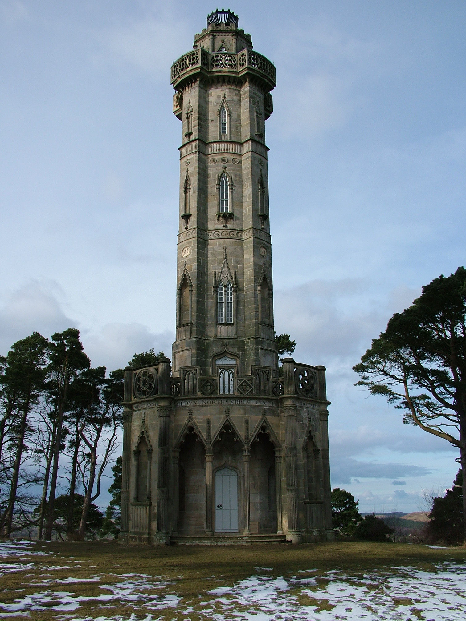
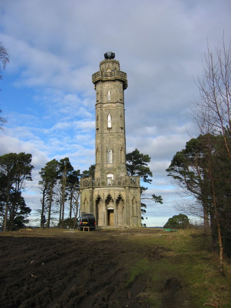
Brizlee Tower

Brizlee Tower (sometimes Brislee Tower) is a Grade 1 listed folly set atop a hill in Hulne Park, the walled home park of the Duke of Northumberland in...

Bassington

Bassington is a former civil parish, now in the parish of Eglingham, in the county of Northumberland, England. It is located about 3 miles (5 km) northwest...

Nearby Amenities

Located within 500m of 55.435967,-1.7418287
Hulne Priory
Historic: ruins
Wikidata: Q17646138
Lat/Long: 55.4350039/-1.7429395
Glass Hills
Place: locality
Lat/Long: 55.4351727/-1.7491309
Hulne Priory
Place: locality
Wikidata: Q17646138
Wikipedia: en:Hulne Priory
Lat/Long: 55.4347676/-1.7433923
Power: pole
Lat/Long: 55.4374714/-1.7431854
Power: pole
Lat/Long: 55.4375951/-1.7417363
Power: pole
Lat/Long: 55.4377137/-1.7402694
Power: pole
Lat/Long: 55.4385342/-1.7398747
Power: pole
Lat/Long: 55.4392978/-1.739483
Power: pole
Lat/Long: 55.440043/-1.7390765
Barrier: cattle_grid
Source: GPS survey
Lat/Long: 55.4321422/-1.7439497
Information: board
Tourism: information
Lat/Long: 55.4360237/-1.7414014
Barrier: cattle_grid
Lat/Long: 55.4360519/-1.7414001
Bench
Source: GPS survey
Lat/Long: 55.4345515/-1.7435566
The data included in this document is from www.openstreetmap.org. The data is made available under ODbL.

Have you been to Hulne Park?

Leave your review of Hulne Park below (or comments, questions and feedback).