Hulne Priory

Heritage Site in Northumberland

England

Hulne Priory

Field by White House
Field by White House Credit: Richard Webb

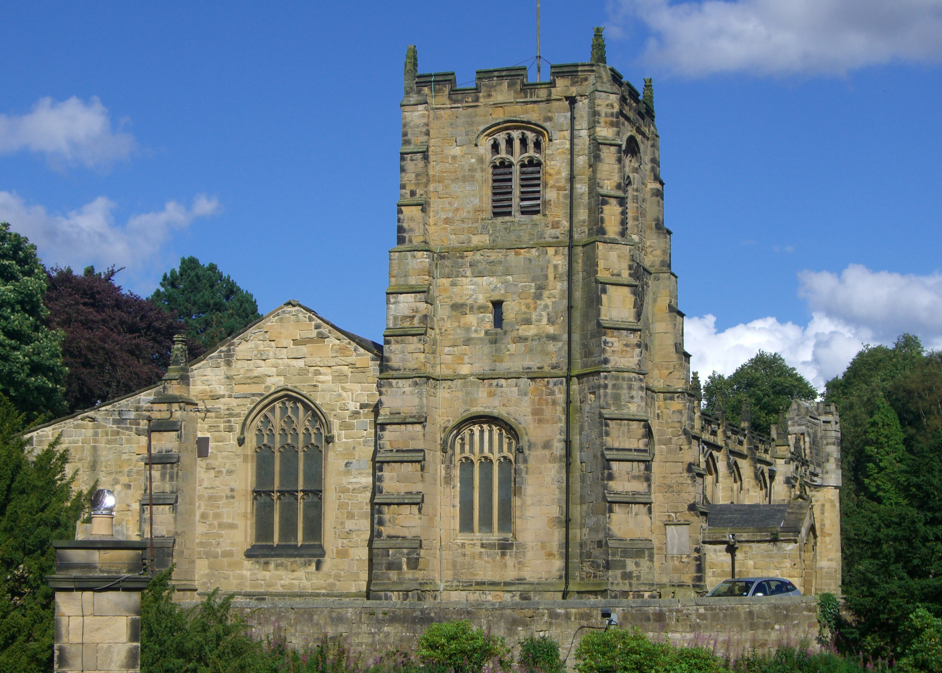
Hulne Priory, located in Northumberland, England, is a historic site of great cultural and architectural significance. Founded in the 13th century, the priory was originally a religious house belonging to the Carmelite order, also known as the White Friars.

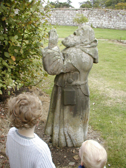
The priory's buildings, although now mostly ruins, offer a glimpse into the region's medieval past. The site includes the remains of the church, cloister, chapter house, and other structures that were once part of the priory complex. Despite the decay, the architectural elements still showcase the priory's original grandeur and intricate craftsmanship.

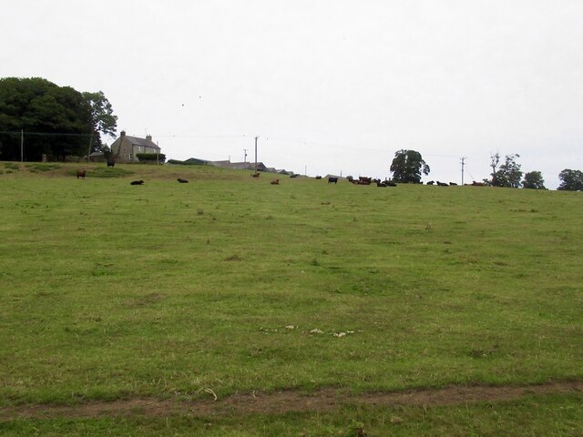
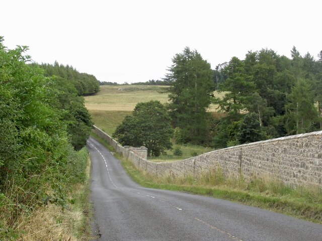
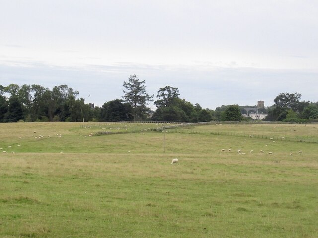
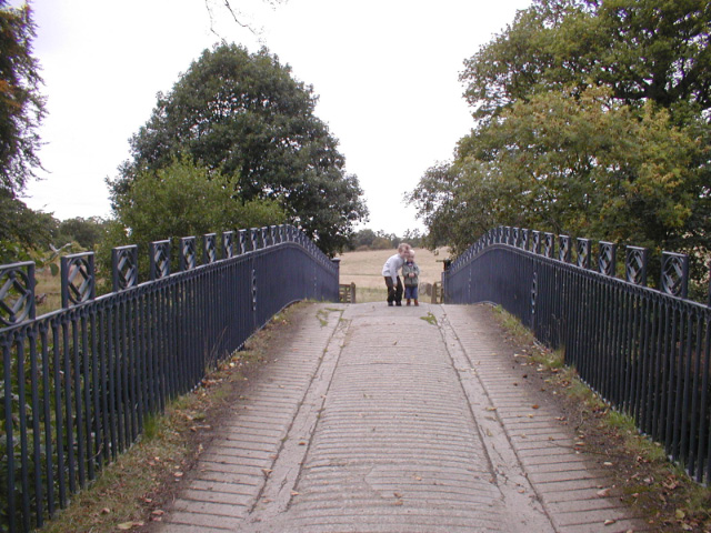
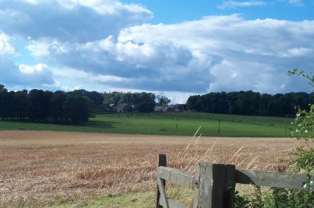
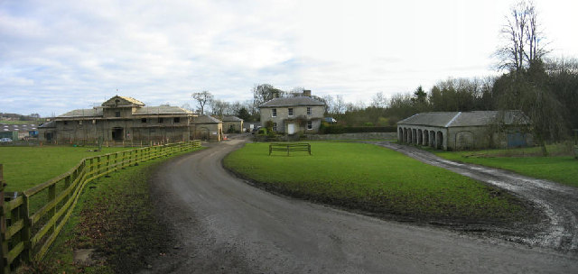
Surrounded by beautiful natural landscapes, Hulne Priory is set within Hulne Park, a private estate that covers approximately 2500 acres. The parkland, which includes woodlands, fields, and a mix of formal gardens and wild areas, provides a picturesque setting for the historic ruins.

Visitors to Hulne Priory can explore the site and its surroundings on foot, following designated paths and trails. The idyllic setting offers opportunities for peaceful walks and picnics, allowing visitors to immerse themselves in the tranquility of the priory's former grounds.

While Hulne Priory is now a ruin, it continues to attract visitors who are interested in history, architecture, and the natural beauty of Northumberland. The site's rich past and serene setting make it a popular destination for both locals and tourists alike, providing a window into Northumberland's medieval heritage.

If you have any feedback on the listing, please let us know in the comments section below.

Hulne Priory Images

Images are sourced within 2km of 55.433/-1.738 or Grid Reference NU1615. Thanks to Geograph Open Source API. All images are credited.

Field by White House
B6346 Passing Hulme Park and that horrid wall.
B6346
Passing Hulme Park and that horrid wall.
Log stacks, Hinding Dean
Round bales Near Alnwick with Heifer Law in the background.
Round bales
Near Alnwick with Heifer Law in the background.
Field beside the Alnwick to Wooler road
Field near Heckley High House
Road junction near Heckley High House A yellow road that looks like a drive.
Road junction near Heckley High House
A yellow road that looks like a drive.
View towards Alnwick Near Abbeylands
View towards Alnwick
Near Abbeylands
B6346, Abbeylands
B6346, Abbeylands
Old Milepost by B6346, 130m South of Blackbog Burn Bridge The Milepost is located by the road on the NorthEast of the road.  Parish of Denwick (Alnwick District). Cast iron post, Patterson twin ovals iron post design, erected by the Alnwick to Eglingham turnpike trust in the 19th Century. Only the stump of the shaft remains.  

Inscription reads:-  
ALNWICK / 2 / MILES  : : CHATTON / 12¾ / MILES : : SMITH PATTERSON LTD OF BLAYDON 

Grade II listed. List Entry Number: 1042045 <span class="nowrap"><a title="https://historicengland.org.uk/listing/the-list/list-entry/1042045" rel="nofollow ugc noopener" href="https://historicengland.org.uk/listing/the-list/list-entry/1042045">Link</a><img style="margin-left:2px;" alt="External link" title="External link - shift click to open in new window" src="https://s1.geograph.org.uk/img/external.png" width="10" height="10"/></span> 

Milestone Society National ID: NB_ANCT02
Old Milepost by B6346, 130m South of Blackbog Burn Bridge
The Milepost is located by the road on the NorthEast of the road.  Parish of Denwick (Alnwick District). Cast iron post, Patterson twin ovals iron post design, erected by the Alnwick to Eglingham turnpike trust in the 19th Century. Only the stump of the shaft remains.   Inscription reads:- ALNWICK / 2 / MILES : : CHATTON / 12¾ / MILES : : SMITH PATTERSON LTD OF BLAYDON Grade II listed. List Entry Number: 1042045 LinkExternal link Milestone Society National ID: NB_ANCT02
Old Milestone by B6346, 130m South of Blackbog Burn Bridge The Milestone is located by the road on the NorthEast of the road.  Parish of Denwick (Alnwick District). Cast iron post, Patterson twin ovals iron post design, erected by the Alnwick to Eglingham turnpike trust in the 19th Century. Only the stump of the shaft remains.  An earlier photograph can be found here: <a title="https://www.geograph.org.uk/photo/7416580" href="https://www.geograph.org.uk/photo/7416580">Link</a> 

Inscription reads:-  
ALNWICK / 2 / MILES  : : CHATTON / 12¾ / MILES : :   SMITH PATTERSON LTD OF BLAYDON 

Grade II listed. List Entry Number: 1042045 <span class="nowrap"><a title="https://historicengland.org.uk/listing/the-list/list-entry/1042045" rel="nofollow ugc noopener" href="https://historicengland.org.uk/listing/the-list/list-entry/1042045">Link</a><img style="margin-left:2px;" alt="External link" title="External link - shift click to open in new window" src="https://s1.geograph.org.uk/img/external.png" width="10" height="10"/></span> 

Milestone Society National ID: NB_ANCT02
Old Milestone by B6346, 130m South of Blackbog Burn Bridge
The Milestone is located by the road on the NorthEast of the road.  Parish of Denwick (Alnwick District). Cast iron post, Patterson twin ovals iron post design, erected by the Alnwick to Eglingham turnpike trust in the 19th Century. Only the stump of the shaft remains.  An earlier photograph can be found here: Link Inscription reads:- ALNWICK / 2 / MILES : : CHATTON / 12¾ / MILES : : SMITH PATTERSON LTD OF BLAYDON Grade II listed. List Entry Number: 1042045 LinkExternal link Milestone Society National ID: NB_ANCT02
King Edward VII Postbox Set into the end of an old stone wall.
Rather narrow opening for modern mail!
King Edward VII Postbox
Set into the end of an old stone wall. Rather narrow opening for modern mail!
Ornamental Bridge In Hulne Park, Alnwick
Ornamental Bridge
In Hulne Park, Alnwick
Hulne Priory Statue in Hulne Priory, Hulne Park.
Hulne Priory
Statue in Hulne Priory, Hulne Park.
Hulne Park
Hulne Park
Heckley High House from across the fields The timeless rolling farmland is only a short distance from the bustling market town of Alnwick.
Heckley High House from across the fields
The timeless rolling farmland is only a short distance from the bustling market town of Alnwick.
Alnwick Abbey Keys to the Past Web Site: A Premonstratensian abbey founded in 1147 by Eustace Fitz-John and dissolved in 1539. Medieval documents record between 17 and 30 canons lived at the abbey. The remains of the abbey were discovered during excavations in 1889 when the complete ground plan was revealed. Apart from the gatehouse, only the outlines of the abbey buildings are visible, roughly laid out in tarmac. The gatehouse dates to the late 14th century, with some minor alterations and restoration in the late 18th or 19th century.
Alnwick Abbey
Keys to the Past Web Site: A Premonstratensian abbey founded in 1147 by Eustace Fitz-John and dissolved in 1539. Medieval documents record between 17 and 30 canons lived at the abbey. The remains of the abbey were discovered during excavations in 1889 when the complete ground plan was revealed. Apart from the gatehouse, only the outlines of the abbey buildings are visible, roughly laid out in tarmac. The gatehouse dates to the late 14th century, with some minor alterations and restoration in the late 18th or 19th century.
Park Farm, Hulne Park, Alnwick This farm is dated 1832.  To the right is a hemmel which is a shed or covering for cattle with arches in one side.
Park Farm, Hulne Park, Alnwick
This farm is dated 1832. To the right is a hemmel which is a shed or covering for cattle with arches in one side.
Show me another place!

Hulne Priory is located at Grid Ref: NU1615 (Lat: 55.433, Lng: -1.738)

Unitary Authority: Northumberland

Police Authority: Northumbria

What 3 Words

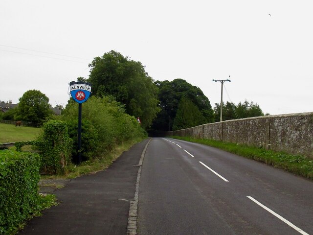
///sneezing.guarded.graduated. Near Alnwick, Northumberland

Nearby Locations

Hulne Priory Hulne Park

Related Wikis

Hulne Priory

Hulne Priory, Hulne Friary or Hulne Abbey was a friary founded in 1240 by the Carmelites or 'Whitefriars'. It is said that the Northumberland site, quite...

Hulne Park

Hulne Park is the only one remaining of the three parks that once surrounded Alnwick Castle in Northumberland, providing wood and meat for the Percy family...
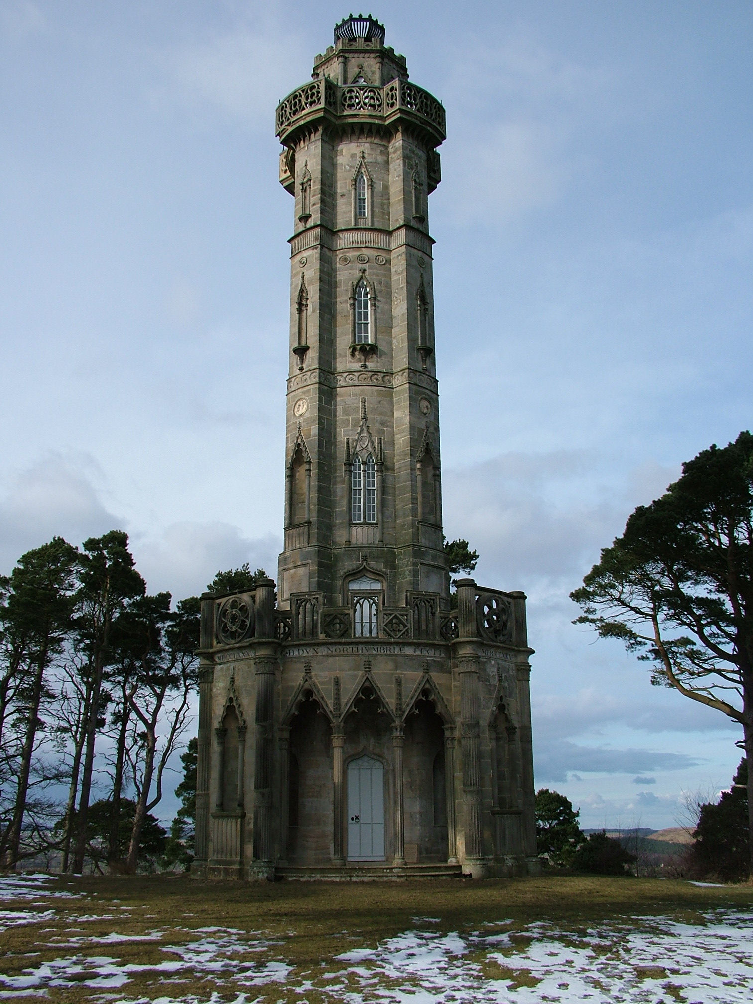
Brizlee Tower

Brizlee Tower (sometimes Brislee Tower) is a Grade 1 listed folly set atop a hill in Hulne Park, the walled home park of the Duke of Northumberland in...

Alnwick Abbey

Alnwick Abbey was founded as a Premonstratensian monastery in 1147 by Eustace fitz John near Alnwick, England, as a daughter house of Newhouse Abbey in...

Battle of Alnwick (1174)

The Battle of Alnwick (1174) is one of two battles fought near the town of Alnwick, in Northumberland, England. In the battle, which took place on 13 July...

Bassington

Bassington is a former civil parish, now in the parish of Eglingham, in the county of Northumberland, England. It is located about 3 miles (5 km) northwest...

St Michael's Church, Alnwick

St Michael's Church is an Anglican place of worship situated on Bailiffgate in the town of Alnwick in Northumberland, England. The current building dates...

Battle of Alnwick (1093)

The Battle of Alnwick is one of two battles fought near the town of Alnwick in Northumberland, England. In the battle, which occurred on 13 November 1093...

Nearby Amenities

Located within 500m of 55.433,-1.738
Iron Bridge
Place: locality
Lat/Long: 55.4309094/-1.7439342
Hulne Priory
Historic: ruins
Wikidata: Q17646138
Lat/Long: 55.4350039/-1.7429395
Hulne Priory
Place: locality
Wikidata: Q17646138
Wikipedia: en:Hulne Priory
Lat/Long: 55.4347676/-1.7433923
Hiking: yes
Information: guidepost
Tourism: information
Lat/Long: 55.4311591/-1.7449939
Lady's Well
Man Made: water_well
Lat/Long: 55.435345/-1.7322313
Barrier: cattle_grid
Source: GPS survey
Lat/Long: 55.4321422/-1.7439497
Check Date: 2024-05-01
Information: map
Tourism: information
Lat/Long: 55.4311365/-1.744958
Bench
Material: stone
Source: GPS survey
Lat/Long: 55.4353572/-1.7322256
Information: board
Tourism: information
Lat/Long: 55.4360237/-1.7414014
Barrier: cattle_grid
Lat/Long: 55.4360519/-1.7414001
Bench
Source: GPS survey
Lat/Long: 55.4345515/-1.7435566
The data included in this document is from www.openstreetmap.org. The data is made available under ODbL.

Have you been to Hulne Priory?

Leave your review of Hulne Priory below (or comments, questions and feedback).