Burderop Down
Downs, Moorland in Wiltshire
England
Burderop Down
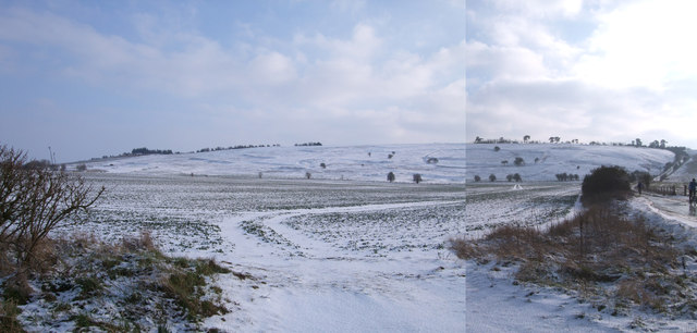
Burderop Down is a prominent geographical feature located in the county of Wiltshire, England. Situated just south of the town of Swindon, it forms part of the larger Marlborough Downs, an area renowned for its natural beauty and historic significance.
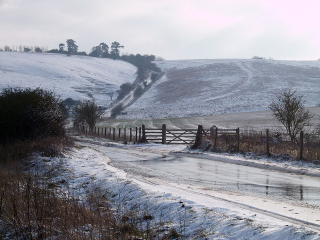
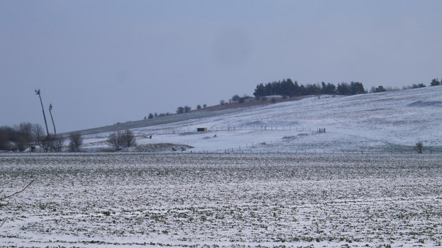
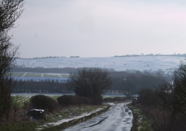
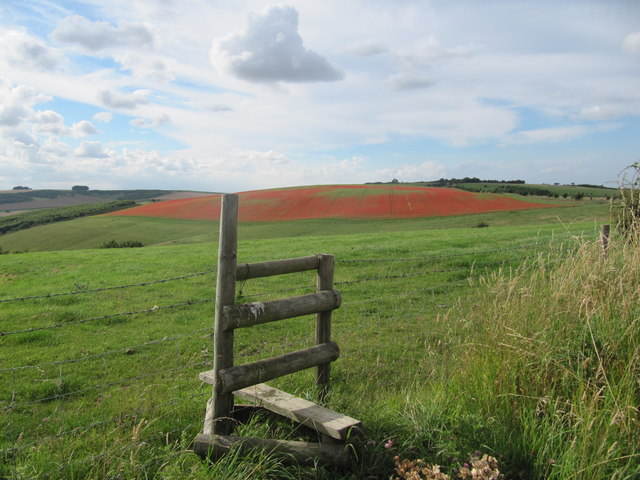
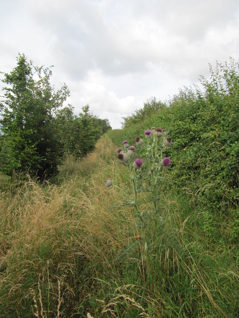
Covering an expansive area, Burderop Down is characterized by its undulating hills, open grassland, and patches of dense woodland. The terrain is largely composed of chalk and limestone, giving rise to unique flora and fauna that thrive in this habitat. The down offers stunning panoramic views of the surrounding countryside, including the nearby Ridgeway, an ancient trackway used since prehistoric times.
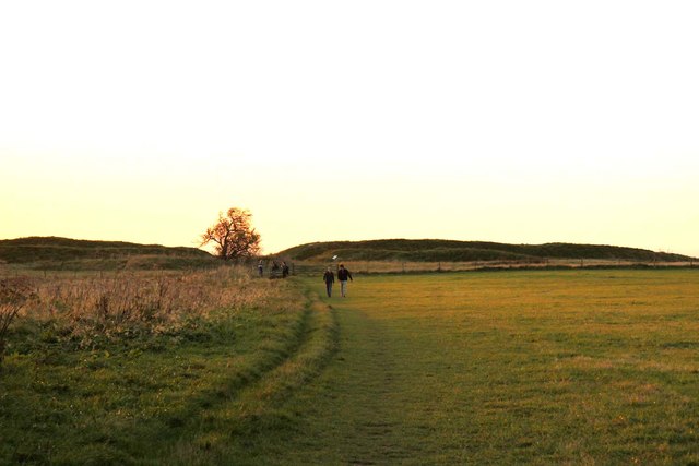
The area is rich in archaeological heritage, with evidence of human activity dating back thousands of years. Bronze Age barrows, Iron Age hillforts, and Roman settlements have all been discovered on Burderop Down, providing a glimpse into the region's past.
The down is home to a diverse range of wildlife, including rare species such as the Adonis blue butterfly and the skylark. It also provides a habitat for grazing animals like sheep and cattle, contributing to the maintenance of the landscape's ecological balance.
Burderop Down is a popular destination for outdoor enthusiasts, offering opportunities for walking, hiking, and birdwatching. Several footpaths and bridleways crisscross the area, allowing visitors to explore its natural wonders at their own pace.
Overall, Burderop Down stands as a beautiful and historically significant area within the Marlborough Downs, attracting both nature lovers and history enthusiasts alike.
If you have any feedback on the listing, please let us know in the comments section below.
Burderop Down Images
Images are sourced within 2km of 51.486513/-1.764869 or Grid Reference SU1676. Thanks to Geograph Open Source API. All images are credited.


Burderop Down is located at Grid Ref: SU1676 (Lat: 51.486513, Lng: -1.764869)
Unitary Authority: Swindon
Police Authority: Wiltshire
What 3 Words
///gently.edit.folds. Near Chiseldon, Wiltshire
Nearby Locations
Related Wikis

Barbury Castle
Barbury Castle is a scheduled hillfort in Wiltshire, England. It is one of several such forts found along the ancient Ridgeway route. The site, which lies...

Battle of Beran Byrig
At the Battle of Beran Byrig or Beranburh the West Saxons are said to have defeated the Britons at Barbury Castle Hill Fort near Swindon in the year 556...

Draycot Foliat
Draycot Foliat is a hamlet in the civil parish of Chiseldon, in the Swindon district, in the ceremonial county of Wiltshire, England, on the back road...
Ridgeway View
Ridgeway View is a hamlet 1 mile (1.6 km) south of the village of Chiseldon near Swindon, in the county of Wiltshire, England. During World War I, a large...

RAF Wroughton
RAF Wroughton is a former Royal Air Force airfield near Wroughton, in Wiltshire, England, about 4 miles (6 km) south of Swindon. Ministry of Defence aviation...

Chiseldon Camp railway station
Chiseldon Camp Halt was a small railway station on the Midland and South Western Junction Railway line, south of Swindon in Wiltshire, England. == History... ==

Burderop Park
Burderop Park is a Grade II* listed country manor house near Chiseldon, Wiltshire, England. The house was constructed in the early 17th century to a courtyard...

Chiseldon House Hotel
Chiseldon House Hotel in Chiseldon, Wiltshire in England is a building of historical significance and is listed in the National Heritage Register. It was...
Nearby Amenities
Located within 500m of 51.486513,-1.764869Have you been to Burderop Down?
Leave your review of Burderop Down below (or comments, questions and feedback).