Arnagill Moor
Downs, Moorland in Yorkshire Harrogate
England
Arnagill Moor
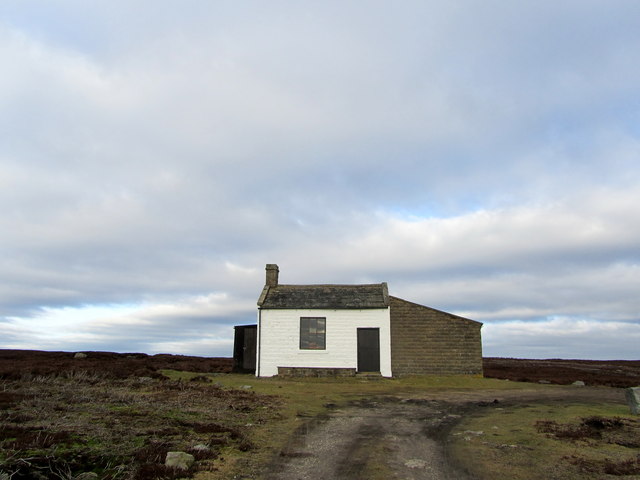
Arnagill Moor is a picturesque area located in the county of Yorkshire, England. Nestled amidst the stunning Yorkshire Dales, it is known for its rolling hills, vast moorlands, and breathtaking views. This serene and tranquil landscape attracts visitors from far and wide.
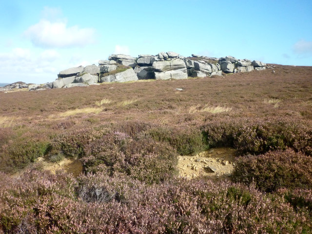
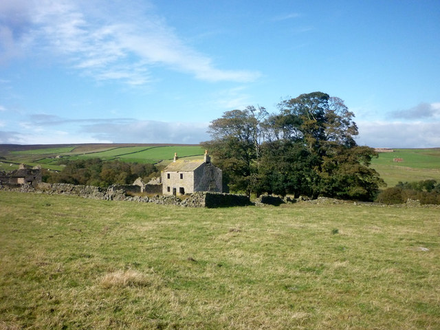
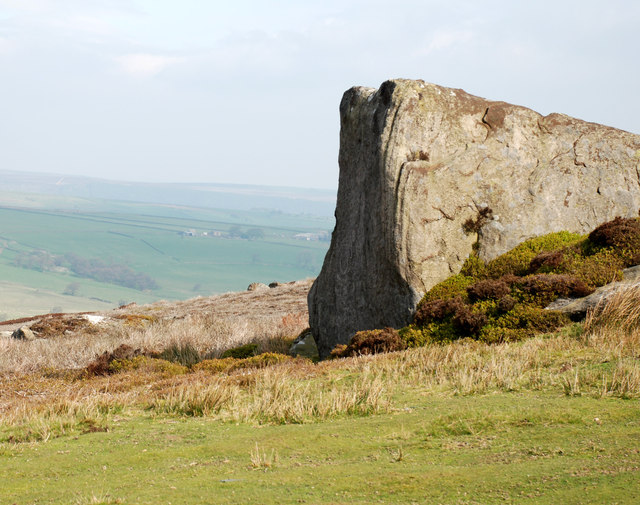
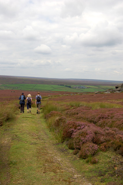
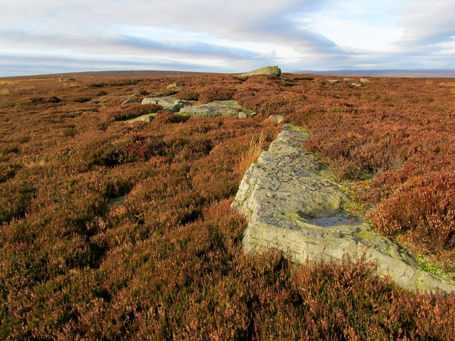
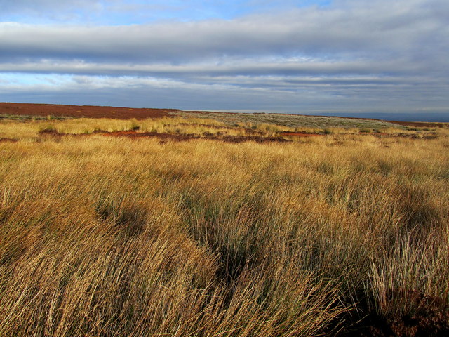
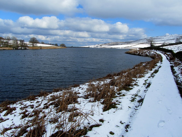
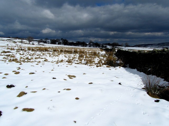
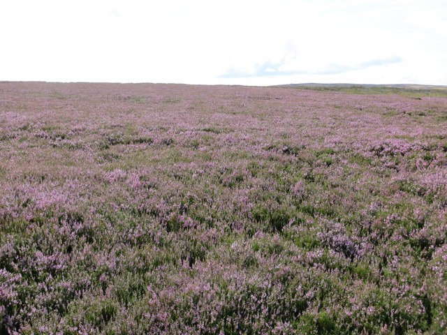
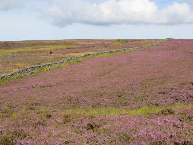
Covering an expansive area, Arnagill Moor is primarily composed of heather-covered moorland, interspersed with scattered woodland and small streams. The moorland is home to a rich variety of plant and animal life, including heather, cotton grass, and bilberry, as well as numerous bird species such as curlews and lapwings.
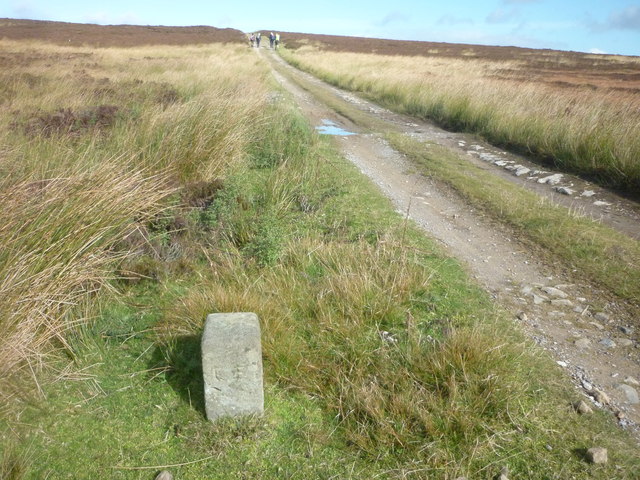
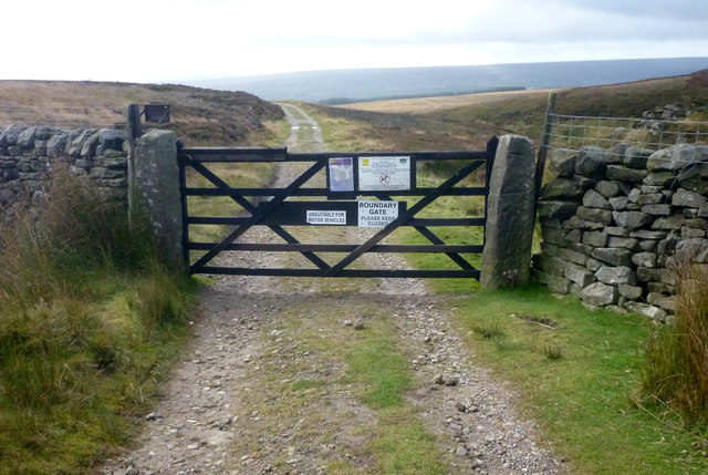
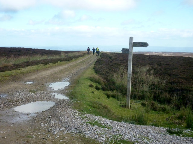
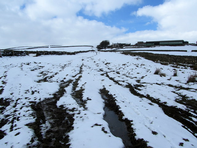
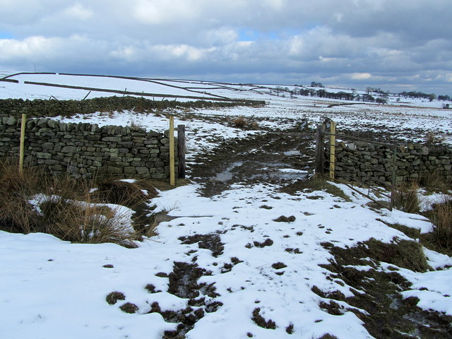
The Yorkshire Dales National Park Authority manages Arnagill Moor, ensuring the preservation of its natural beauty and wildlife. The area is popular among nature enthusiasts, hikers, and birdwatchers who can explore its many walking trails and enjoy the stunning vistas.
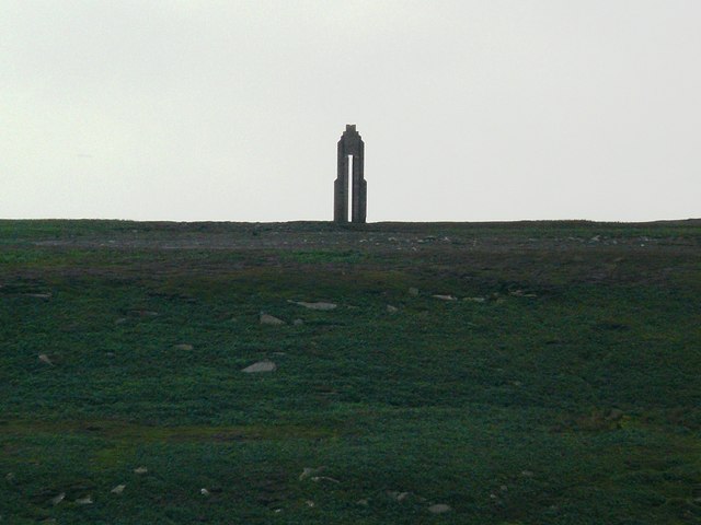
The moorland also holds historical significance, with evidence of human activity dating back to the Bronze Age. Ancient burial mounds, stone circles, and other archaeological remains can be found scattered across the landscape, offering a glimpse into the area's past.
Visitors to Arnagill Moor can also take in the breathtaking views of the surrounding countryside, with the Yorkshire Dales providing a stunning backdrop. The peaceful and idyllic setting offers a perfect escape from the bustling city life, allowing visitors to connect with nature and soak in the beauty of this remarkable Yorkshire gem.
If you have any feedback on the listing, please let us know in the comments section below.
Arnagill Moor Images
Images are sourced within 2km of 54.174139/-1.7675728 or Grid Reference SE1575. Thanks to Geograph Open Source API. All images are credited.
Arnagill Moor is located at Grid Ref: SE1575 (Lat: 54.174139, Lng: -1.7675728)
Division: North Riding
Administrative County: North Yorkshire
District: Harrogate
Police Authority: North Yorkshire
What 3 Words
///garage.baker.making. Near Masham, North Yorkshire
Nearby Locations
Related Wikis

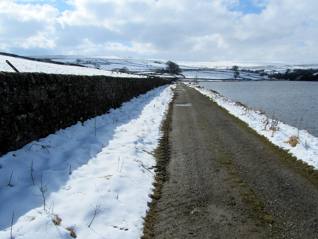
Roundhill Reservoir
Roundhill Reservoir is situated near Leighton Reservoir in North Yorkshire, England. It was constructed by Harrogate Corporation early in the 20th century...

Leighton Reservoir
Leighton Reservoir is a reservoir which drains via the River Burn to the River Ure in North Yorkshire, England. It neighbours Roundhill Reservoir and is...

Leighton, North Yorkshire
Leighton is a hamlet in the civil parish of Healey in the Harrogate district of North Yorkshire, England. It is near Leighton Reservoir that provides for...

Skipton and Ripon (UK Parliament constituency)
Skipton and Ripon is a constituency in North Yorkshire represented in the House of Commons of the UK Parliament since 2010 by Julian Smith, a Conservative...
Nearby Amenities
Located within 500m of 54.174139,-1.7675728Have you been to Arnagill Moor?
Leave your review of Arnagill Moor below (or comments, questions and feedback).