Low Moor

Downs, Moorland in Northumberland

England

Low Moor

Minor Road to Rayheugh
Minor Road to Rayheugh Credit: David Dixon

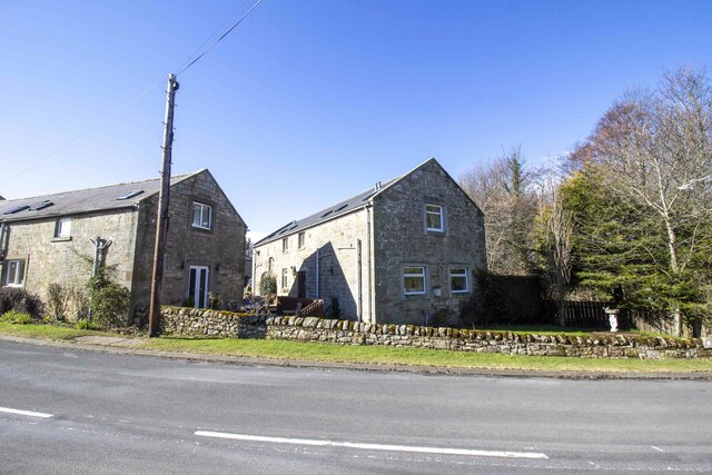
Low Moor is a small village located in the county of Northumberland, in the North East of England. It is situated in the picturesque region known as the Northumberland Downs, surrounded by stunning moorland landscapes. The village itself is nestled among rolling hills, offering breathtaking views of the surrounding countryside.

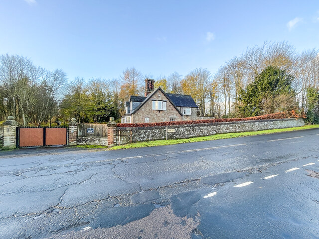
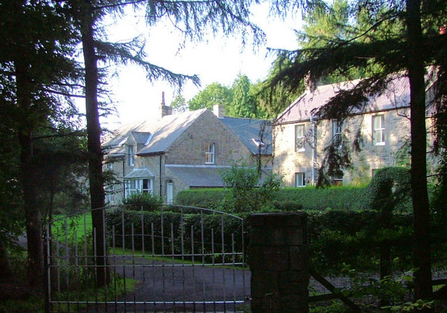
Low Moor is characterized by its peaceful and rural atmosphere, making it an ideal destination for those seeking a tranquil and idyllic getaway. The village is known for its close-knit community, with friendly locals who take pride in their surroundings. One can find a range of charming cottages and traditional houses, adding to the village's quaint and timeless charm.

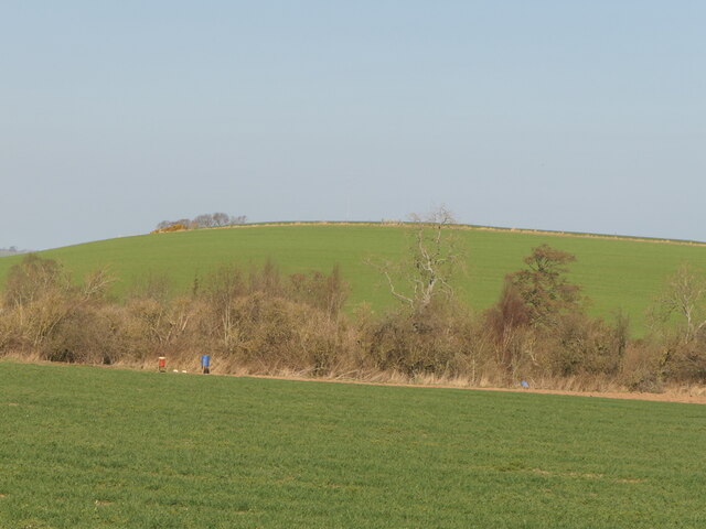
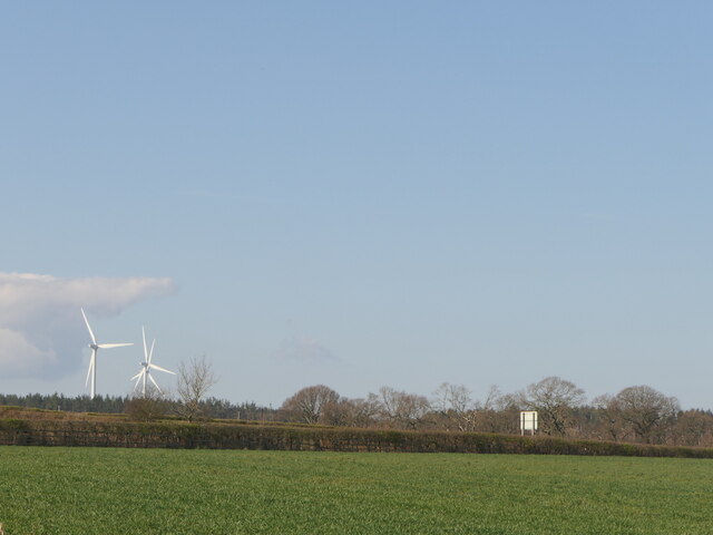
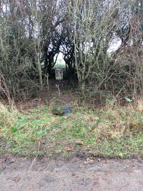
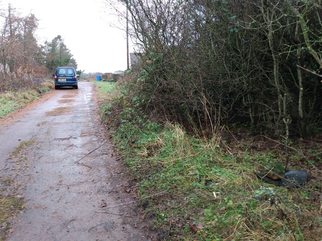
The Northumberland Downs, which stretch across the region, provide ample opportunities for outdoor activities such as hiking and cycling. The area is crisscrossed with numerous trails and paths, allowing visitors to explore the vast moorland and enjoy the unspoiled beauty of nature. The landscape is dotted with heather-covered hills, ancient woodlands, and meandering streams, creating a haven for wildlife enthusiasts and nature lovers.

Aside from its natural beauty, Low Moor is also within easy reach of various historical and cultural attractions. The nearby town of Hexham, with its historic abbey and market, offers a glimpse into the region's rich heritage. Additionally, the iconic Hadrian's Wall, a UNESCO World Heritage site, is just a short drive away, providing a fascinating insight into Roman history.

In summary, Low Moor, Northumberland, is a charming village nestled in the Northumberland Downs, offering a peaceful and picturesque retreat for visitors. With its stunning moorland landscapes and close proximity to historical sites, it is a destination that appeals to both nature enthusiasts and history buffs.

If you have any feedback on the listing, please let us know in the comments section below.
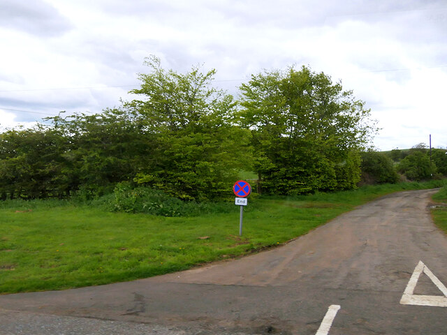
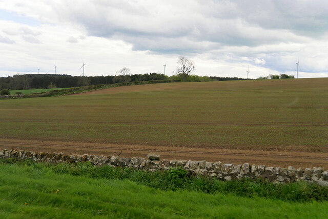
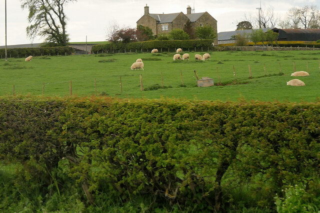
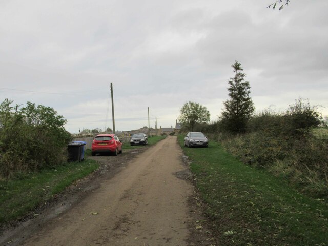
Low Moor Images

Images are sourced within 2km of 55.544898/-1.7595787 or Grid Reference NU1527. Thanks to Geograph Open Source API. All images are credited.

Minor Road to Rayheugh
Farmland west of the A1 near Rosebrough
Sheep in a Field near the A1 at Rosebrough
Rosebrough, The Rolling Pig Hog Roast and BBQ
Flash in Farmland A birding day and we came here to see a Wilson's Phalarope which is quite and there were several birders there.  Yes we did see it.
Flash in Farmland
A birding day and we came here to see a Wilson's Phalarope which is quite and there were several birders there. Yes we did see it.
Newstead Farm Cottages
Country Lane leading to Newstead
Binsal Hill Seen across Priest's Dean.
Binsal Hill
Seen across Priest's Dean.
A field across the A1 View from near Priest's Dean towards the A1.
A field across the A1
View from near Priest's Dean towards the A1.
South Lodge 19th Century lodge to Twizell House (demolished 1969) on the former Great North Road in Warenford.
South Lodge
19th Century lodge to Twizell House (demolished 1969) on the former Great North Road in Warenford.
Missing sign This frame, on the former Great North Road through Warenford, now bypassed, previously supported a pre Worboys sign dating from when this was still the main road - see <a href="https://www.geograph.org.uk/photo/3488078">NU1328 : Old road sign in Warenford</a>.  For a wider view, see <a href="https://www.geograph.org.uk/photo/7357596">NU1328 : South Lodge</a>.
Missing sign
This frame, on the former Great North Road through Warenford, now bypassed, previously supported a pre Worboys sign dating from when this was still the main road - see NU1328 : Old road sign in Warenford. For a wider view, see NU1328 : South Lodge.
Converted vernacular farm buildings at South Farm
Belted Galloway cattle The Belted Galloway is a heritage beef breed of cattle originating from Galloway in the west side of southern Scotland, adapted to living on the poor upland pastures and windswept moorlands of the region. The exact origin of the breed is unclear although it is often surmised that the white belt that distinguishes these cattle from the native black Galloway cattle may be as a result of cross breeding with Dutch Lakenvelder belted cattle. It is the belt that gives them their name.
Belted Galloways are primarily raised for their quality marbled beef, although they are sometimes milked and purchased to adorn pastures due to their striking appearance.
Belted Galloway cattle
The Belted Galloway is a heritage beef breed of cattle originating from Galloway in the west side of southern Scotland, adapted to living on the poor upland pastures and windswept moorlands of the region. The exact origin of the breed is unclear although it is often surmised that the white belt that distinguishes these cattle from the native black Galloway cattle may be as a result of cross breeding with Dutch Lakenvelder belted cattle. It is the belt that gives them their name. Belted Galloways are primarily raised for their quality marbled beef, although they are sometimes milked and purchased to adorn pastures due to their striking appearance.
Old Milepost by the A1, west of Ellingham Cast iron post by the A1, in parish of Adderstone with Lucker (Berwick upon Tweed District), East of Commonflat and West of Ellingham, 200m South of Newstead Road End, East of lay-by opposite, on grass verge back to wire fence, on Northeast side of road. AB bevel iron casting, erected by the Cow-causey & Buckton-Burn turnpike trust in the 19th century. 

Inscription reads:-
: A / 9 : : B / 5 :
(To Alnwick and Belford)

Grade II listed.
List Entry Number: 1206313 <span class="nowrap"><a title="https://historicengland.org.uk/listing/the-list/list-entry/1206313" rel="nofollow ugc noopener" href="https://historicengland.org.uk/listing/the-list/list-entry/1206313">Link</a><img style="margin-left:2px;" alt="External link" title="External link - shift click to open in new window" src="https://s1.geograph.org.uk/img/external.png" width="10" height="10"/></span>

Milestone Society National ID: NB_ANBF09
Old Milepost by the A1, west of Ellingham
Cast iron post by the A1, in parish of Adderstone with Lucker (Berwick upon Tweed District), East of Commonflat and West of Ellingham, 200m South of Newstead Road End, East of lay-by opposite, on grass verge back to wire fence, on Northeast side of road. AB bevel iron casting, erected by the Cow-causey & Buckton-Burn turnpike trust in the 19th century. Inscription reads:- : A / 9 : : B / 5 : (To Alnwick and Belford) Grade II listed. List Entry Number: 1206313 LinkExternal link Milestone Society National ID: NB_ANBF09
Old Milepost north east of Warenford Cast iron post by the UC road, in parish of ADDERSTONE WITH LUCKER (BERWICK UPON TWEED District), Warenford, in hedge, on North side of road. Patterson iron post, erected by an unknown authority in the 19th century. 

Inscription reads:-
B 5 C
(To Bamburgh Castle)

Milestone Society National ID: NB_BCWF05.
Old Milepost north east of Warenford
Cast iron post by the UC road, in parish of ADDERSTONE WITH LUCKER (BERWICK UPON TWEED District), Warenford, in hedge, on North side of road. Patterson iron post, erected by an unknown authority in the 19th century. Inscription reads:- B 5 C (To Bamburgh Castle) Milestone Society National ID: NB_BCWF05.
Old Milepost by the former A1, Rayheugh, south of Warenford Cast iron post by the UC road (was A1), in parish of Adderstone with Lucker (Berwick upon Tweed District), Rayheugh in loop of old road, against low stone wall under hedge, on East side of road. AB bevel iron casting, erected by the Cow-causey & Buckton-Burn turnpike trust in the 19th century. 

Inscription reads:-
: A / 10 : : B / 4 :
(To Alnwick and Belford)

Northumberland HER.
Reference number: N16857 <span class="nowrap"><a title="https://www.heritagegateway.org.uk/Gateway/Results_Single.aspx?uid=N16857&resourceID=110" rel="nofollow ugc noopener" href="https://www.heritagegateway.org.uk/Gateway/Results_Single.aspx?uid=N16857&resourceID=110">Link</a><img style="margin-left:2px;" alt="External link" title="External link - shift click to open in new window" src="https://s1.geograph.org.uk/img/external.png" width="10" height="10"/></span>

Milestone Society National ID: NB_ANBF10
Old Milepost by the former A1, Rayheugh, south of Warenford
Cast iron post by the UC road (was A1), in parish of Adderstone with Lucker (Berwick upon Tweed District), Rayheugh in loop of old road, against low stone wall under hedge, on East side of road. AB bevel iron casting, erected by the Cow-causey & Buckton-Burn turnpike trust in the 19th century. Inscription reads:- : A / 10 : : B / 4 : (To Alnwick and Belford) Northumberland HER. Reference number: N16857 LinkExternal link Milestone Society National ID: NB_ANBF10
Show me another place!

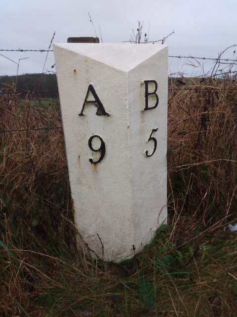
Low Moor is located at Grid Ref: NU1527 (Lat: 55.544898, Lng: -1.7595787)

Unitary Authority: Northumberland

Police Authority: Northumbria

What 3 Words

///jeep.shipwreck.urgent. Near Ellingham, Northumberland

Related Wikis

Newham railway station

Newham railway station was a railway station that served the hamlet of Newham Hall, Northumberland, England from 1851 to 1950 on the East Coast Main Line...

Lucker

Lucker is a village and former civil parish, now in the parish of Adderstone with Lucker, in the north of the county of Northumberland, England. It is...

Adderstone Hall

Adderstone Hall (grid reference NU141303) is a privately owned Georgian Grecian mansion situated on the bank of the River Warn near Lucker, Northumberland...

Adderstone

Adderstone is a village and former civil parish, now in the parish of Adderstone with Lucker, in the county of Northumberland, England. In 1951 the parish...

Nearby Amenities

Located within 500m of 55.544898,-1.7595787
Low Moor
Place: locality
Lat/Long: 55.5440878/-1.7599454
The data included in this document is from www.openstreetmap.org. The data is made available under ODbL.

Have you been to Low Moor?

Leave your review of Low Moor below (or comments, questions and feedback).