Low Fell
Downs, Moorland in Durham
England
Low Fell
Low Fell is a residential area located in Durham, England. Situated on a hill, it offers picturesque views of the surrounding downs and moorland. Covering an area of approximately 2 square miles, Low Fell is a vibrant community with a population of around 10,000 residents.
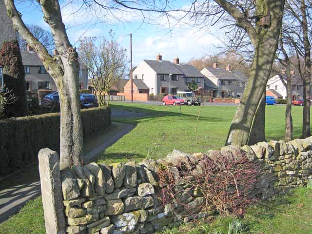
The area is known for its beautiful Victorian and Edwardian architecture, with many well-preserved houses lining the streets. These properties contribute to the area's charm and character, attracting both residents and visitors alike. The tree-lined streets and well-maintained gardens further enhance the overall aesthetic appeal of Low Fell.
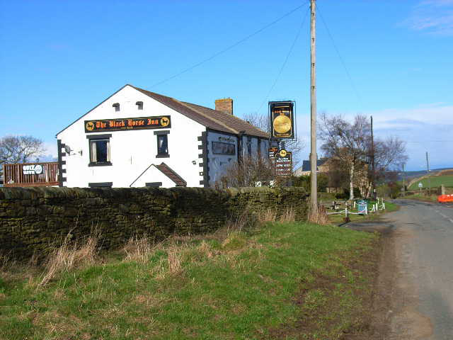
Low Fell is well-served by local amenities, including a variety of shops, restaurants, and pubs. The area also boasts several schools, parks, and recreational facilities, making it an ideal place for families. The presence of healthcare centers and pharmacies ensures residents have easy access to medical services.
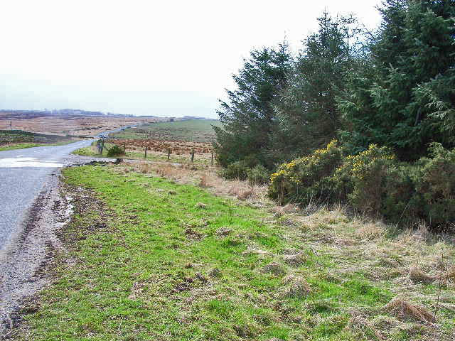
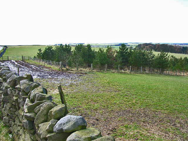
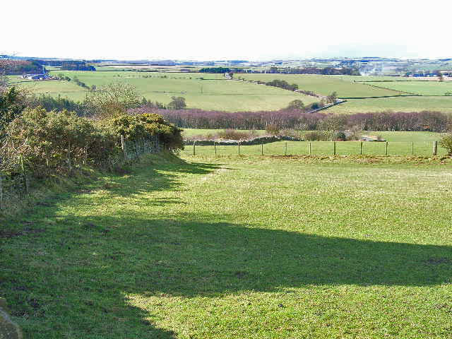
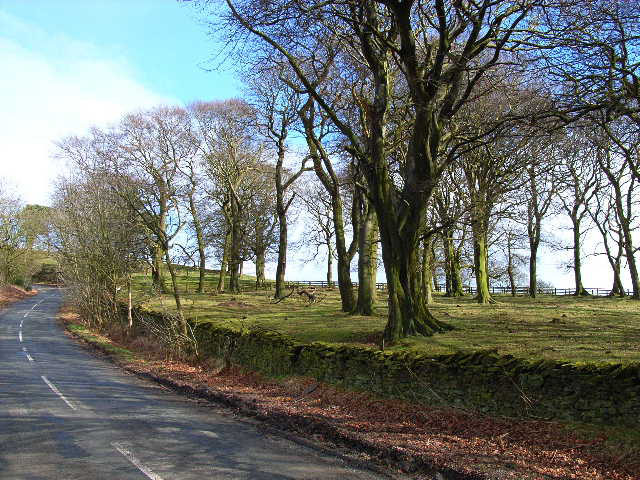
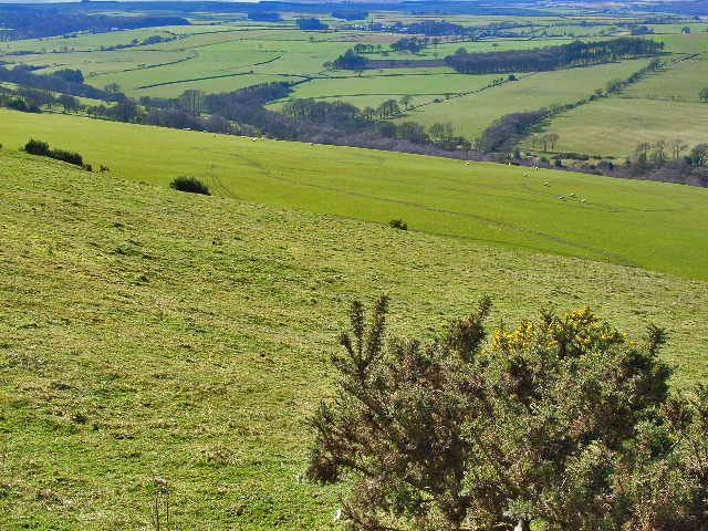
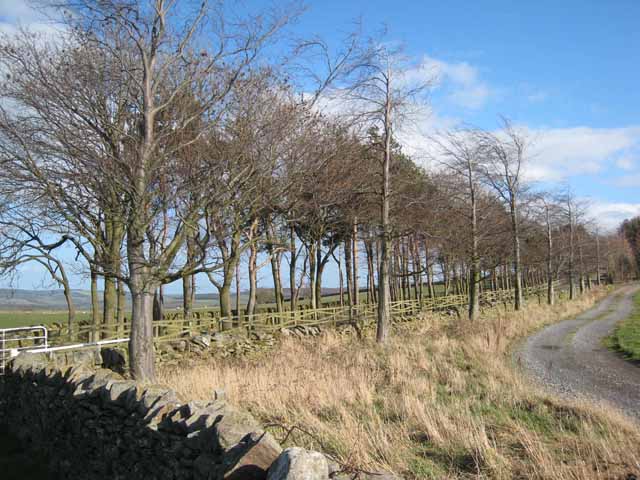
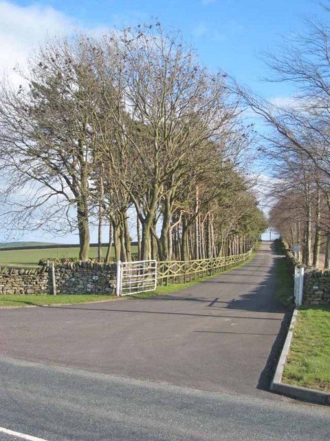
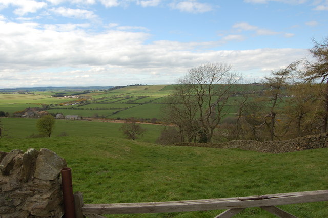
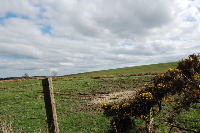
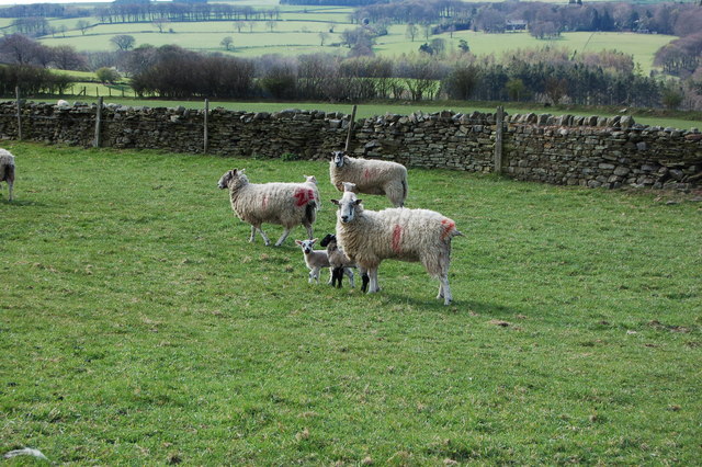
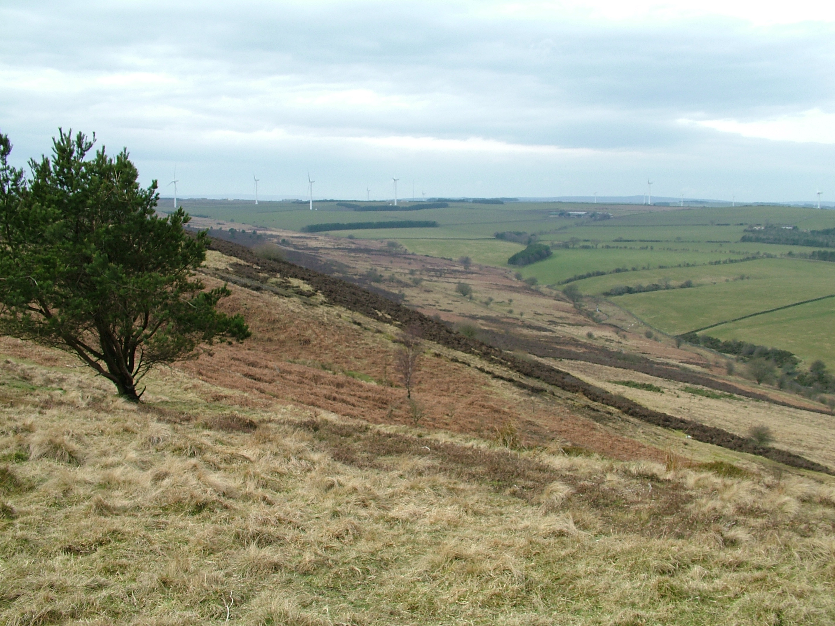
The downs and moorland surrounding Low Fell offer ample opportunities for outdoor activities and leisurely walks. The expansive green spaces provide a peaceful retreat from the hustle and bustle of city life, attracting nature enthusiasts and those seeking tranquility.
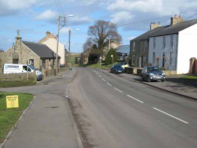
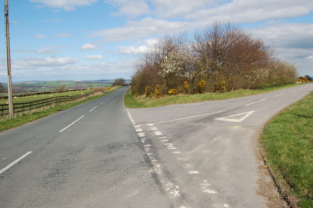
Transportation in Low Fell is convenient, with regular bus services connecting the area to nearby towns and cities. The area also benefits from its proximity to major road networks, allowing for easy commuting. Additionally, Low Fell has good access to local train stations, making it accessible to those using public transport.
Overall, Low Fell is a picturesque residential area that combines natural beauty with modern amenities, making it an attractive place to live and visit in Durham.
If you have any feedback on the listing, please let us know in the comments section below.
Low Fell Images
Images are sourced within 2km of 54.775074/-1.7945983 or Grid Reference NZ1342. Thanks to Geograph Open Source API. All images are credited.
Low Fell is located at Grid Ref: NZ1342 (Lat: 54.775074, Lng: -1.7945983)
Unitary Authority: County Durham
Police Authority: Durham
What 3 Words
///tips.jets.towels. Near Tow Law, Co. Durham
Nearby Locations
Related Wikis
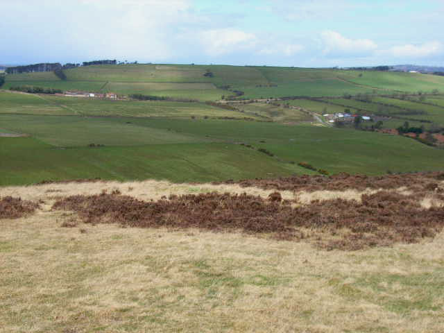
Hedleyhope Fell
Hedleyhope Fell is a nature reserve to the north-east of Tow Law, County Durham, England. The reserve is managed by Durham Wildlife Trust and consists...

Hedley Hill
Hedley Hill is a small village in County Durham, in England. It is situated between Tow Law and Esh Winning. == References ==
Hall Hill Farm
Hall Hill Farm is a tourist attraction located in County Durham, near Tow Law, England. == History == Ann Darlington is the current tourism manager at...
Satley
Satley is a village and civil parish in County Durham, England, with a population of 292 in 2001, falling to 282 at the 2011 Census. It is situated six...

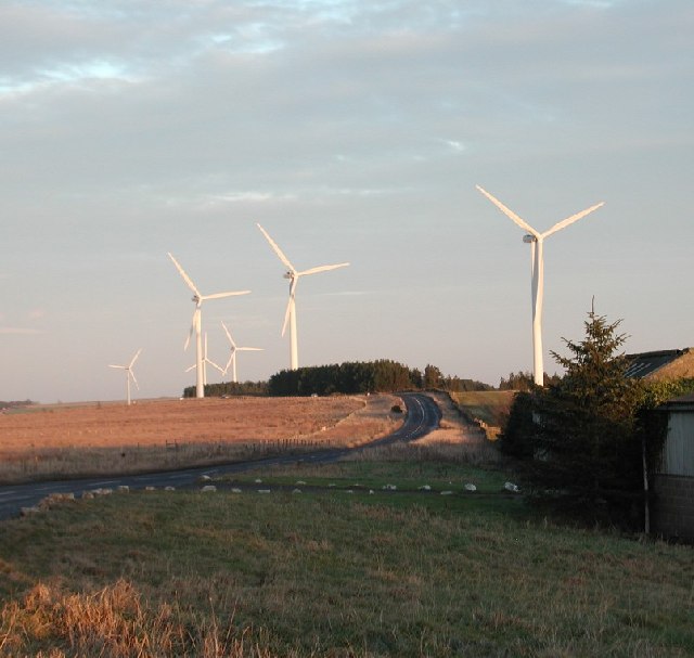
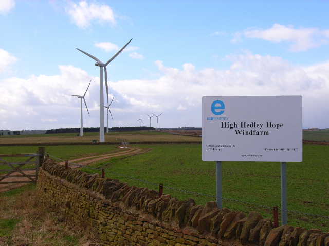
West Durham Wind Farm
West Durham Wind Farm is a wind farm near Tow Law, County Durham, England. == History == Developed by County Durham-based company the Banks Group, the...
Cornsay
Cornsay is a hamlet and civil parish in County Durham, England. The population of the Civil Parish taken at the 2011 census was 1,128. It is 6 miles (9...
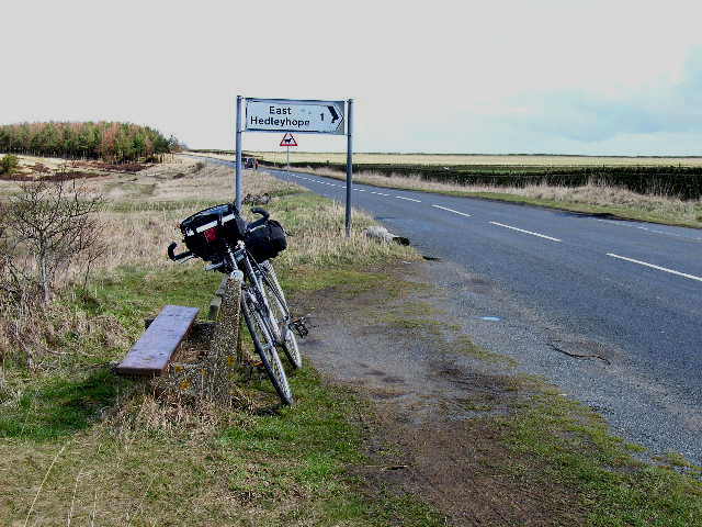
East Hedleyhope
East Hedleyhope is a village in County Durham, in England. It is situated about 8 miles (13 km) west of Durham, up the Deerness valley. The main village...

Inkerman, County Durham
Inkerman was a village in County Durham, England. Built in 1854–1855 a short distance to the north-west of Tow Law to house ironstone miners, it was named...
Related Videos

Hall Hill Farm Sheep Racing 3/4/20
filmed on location at Hall Hill Farm Lanchester DH7 0TA.

Puppet Theatre at Hall Hill Farm
This is the puppet theatre at Hall Hill Farm in County Durham UK. Taken 6th of May 2018.
Nearby Amenities
Located within 500m of 54.775074,-1.7945983Have you been to Low Fell?
Leave your review of Low Fell below (or comments, questions and feedback).