Low Lands
Downs, Moorland in Durham
England
Low Lands

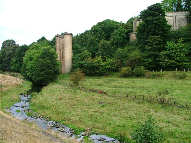
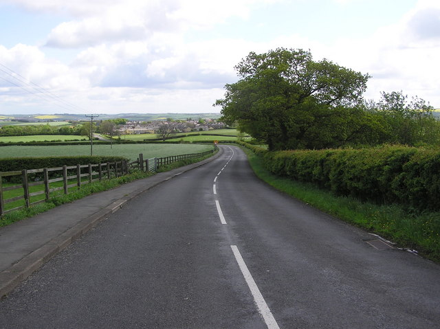
Low Lands, Durham is a picturesque and diverse area located in the northeastern region of England. Spanning across Durham, this landscape is characterized by its low-lying terrain, encompassing downs, moorland, and various other natural features. With its rich history, stunning scenery, and abundant wildlife, Low Lands is a popular destination for nature enthusiasts and history buffs alike.
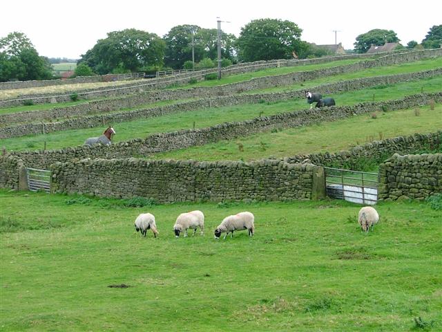
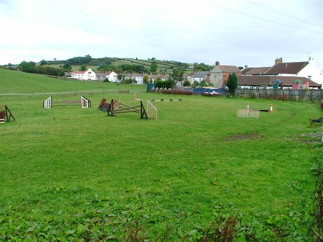
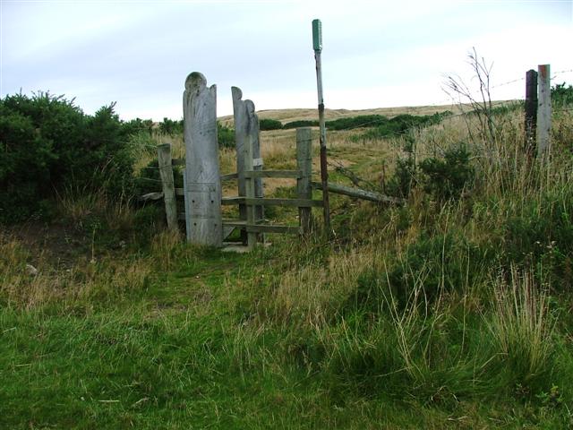
The downs in Low Lands offer expansive grasslands and rolling hills, providing breathtaking panoramic views of the surrounding countryside. These areas are often grazed by livestock, contributing to the region's agricultural heritage. The downs also serve as habitats for a variety of plant and animal species, including wildflowers, birds, and small mammals.
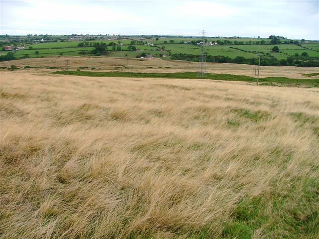
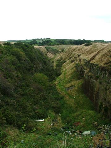
Moorland, another prominent feature of Low Lands, consists of vast expanses of heather-covered hills and valleys. The unique flora and fauna found in these areas thrive in the acidic soil conditions, creating a distinct and vibrant ecosystem. Moorland is also well-known for its historic significance, as it has been utilized for centuries for grazing, peat extraction, and even as a backdrop for literary works.
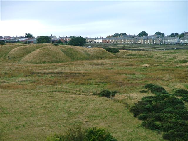
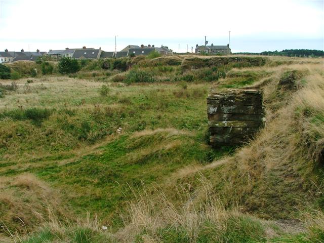
Low Lands, Durham is not only blessed with natural beauty but also boasts a rich cultural heritage. The area is dotted with ancient archaeological sites, including prehistoric settlements and burial mounds, which offer glimpses into the region's early human history. Additionally, remnants of medieval castles and ruins stand as reminders of the area's past conflicts and the resilience of its inhabitants.
Overall, Low Lands, Durham is a captivating destination that combines natural beauty, diverse landscapes, and a deep-rooted history. It offers visitors a chance to immerse themselves in the tranquility of its downs, explore the rugged moorland, and discover the stories embedded in its ancient landmarks.
If you have any feedback on the listing, please let us know in the comments section below.
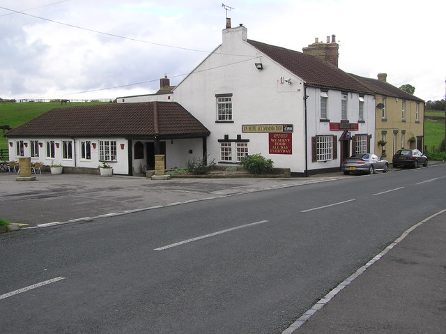
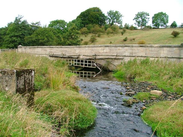
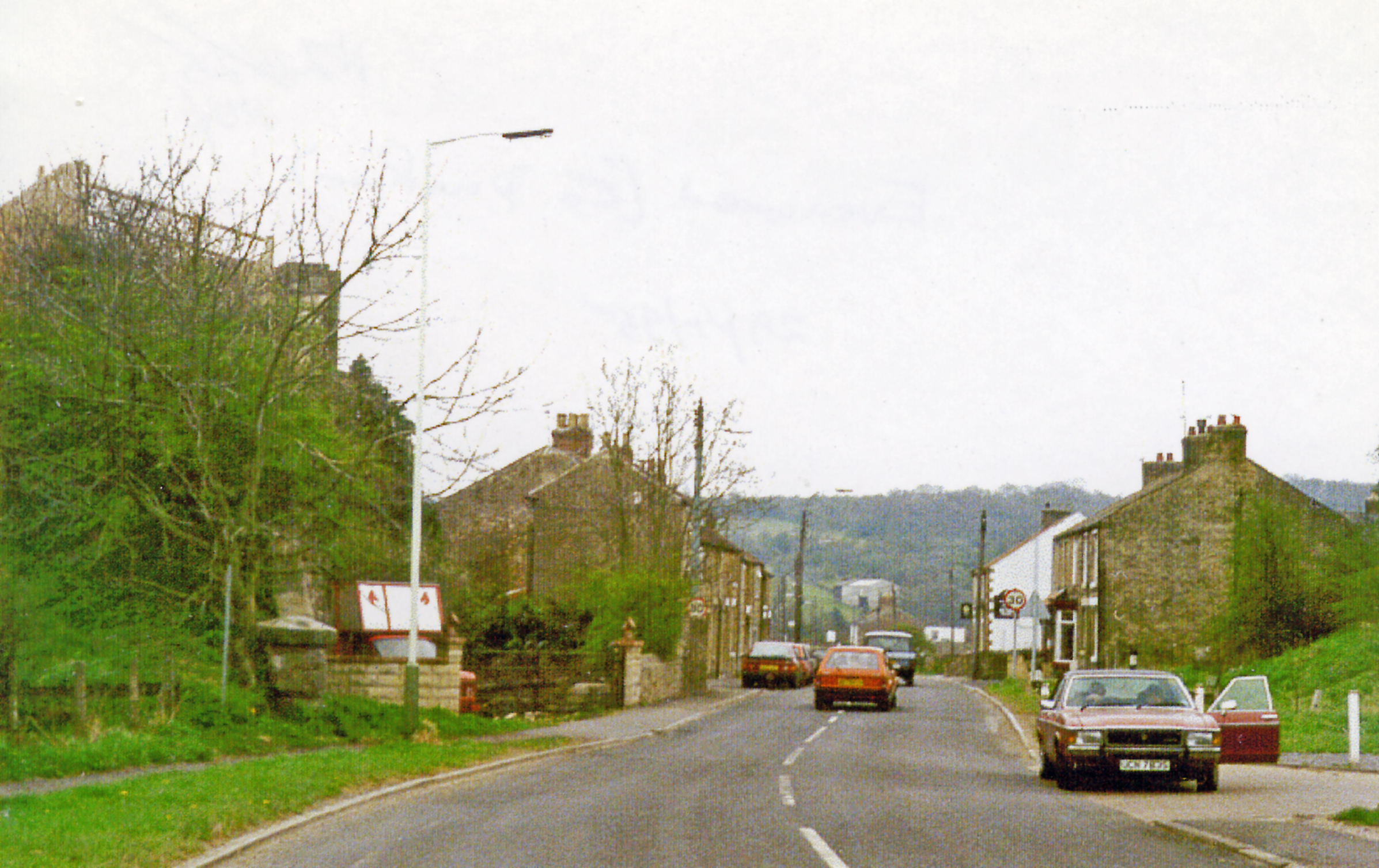
Low Lands Images
Images are sourced within 2km of 54.621674/-1.7956804 or Grid Reference NZ1325. Thanks to Geograph Open Source API. All images are credited.
Low Lands is located at Grid Ref: NZ1325 (Lat: 54.621674, Lng: -1.7956804)
Unitary Authority: County Durham
Police Authority: Durham
What 3 Words
///waddle.pigtails.geology. Near Cockfield, Co. Durham
Related Wikis

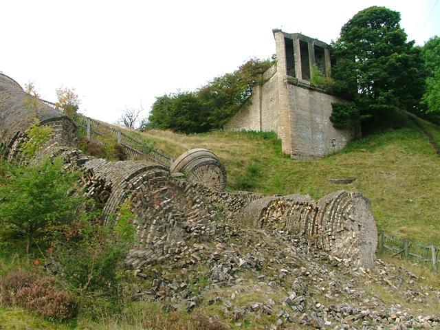
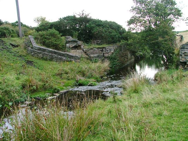
Gaunless Viaduct
Gaunless Viaduct, also known as the Lands Viaduct, was a railway viaduct in County Durham. It was designed by Thomas Bouch to carry the South Durham and...

Lands railway station
Lands railway station served the hamlet of Low Lands, County Durham, England, from 1858 to 1872 on the Haggerleases branch of the Stockton and Darlington...
Esperley Lane Ends
Esperley Lane Ends is a village in County Durham, in England. It is situated a few miles to the north west of Darlington, between Cockfield and Evenwood...

Cockfield, County Durham
Cockfield is a village on the edge of Teesdale, County Durham, England. It is situated 8 miles to the south-west of Bishop Auckland, 15 miles (24 km) north...
Swin Bridge
Swin Bridge (also 'Cockfield Bridge' or 'Haggerleases Bridge') is the local name for a skew arch bridge in County Durham. It was built in 1830 for the...
Evenwood railway station
Evenwood railway station served the village of Evenwood, County Durham, England from 1858 to 1962 on the South Durham and Lancashire Union Railway. �...
Haggerleases railway station
Haggerleases railway station, also known as Butterknowle railway station, served the village of Butterknowle, County Durham, England, in 1859 on the Haggerleases...
Ramshaw, Bishop Auckland
Ramshaw is a village in County Durham, in England. It is situated to the south-west of Bishop Auckland. Ramshaw was originally a mining village and is...
Nearby Amenities
Located within 500m of 54.621674,-1.7956804Have you been to Low Lands?
Leave your review of Low Lands below (or comments, questions and feedback).