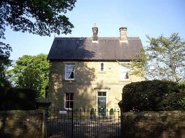
Van Dieman's Land
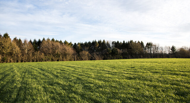
Downs, Moorland in Yorkshire
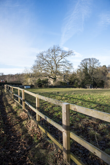
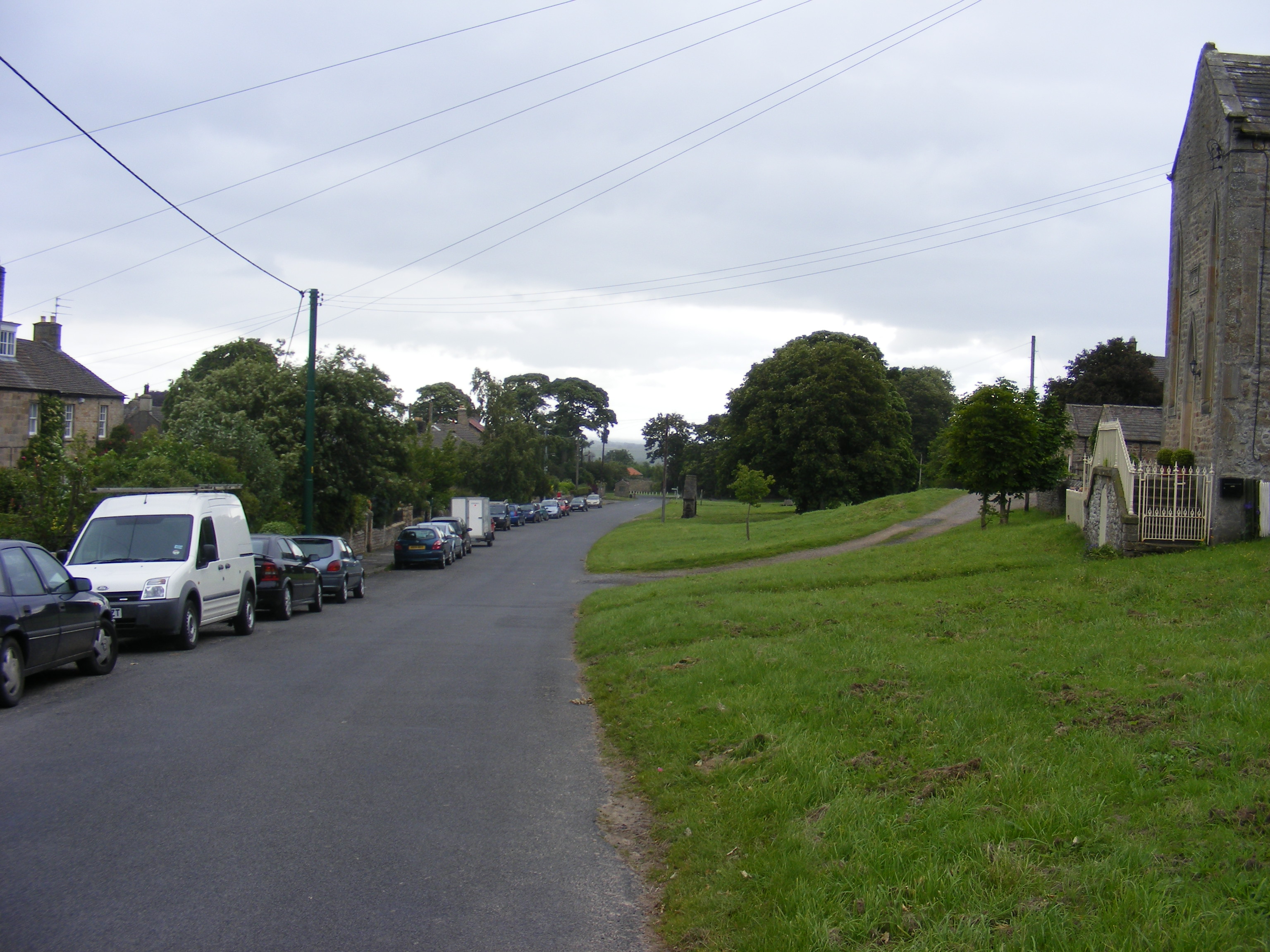
England
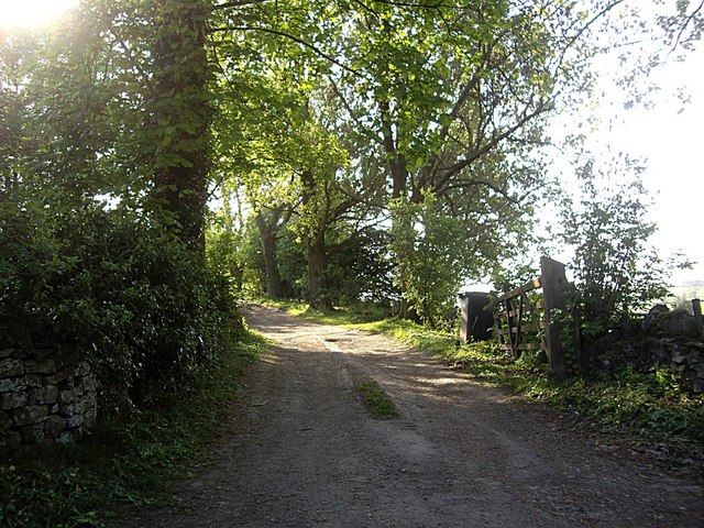
Van Dieman's Land
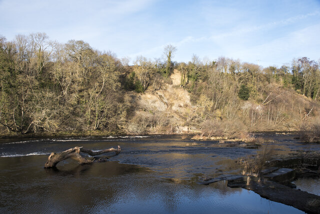
Van Dieman's Land, also known as Tasmania, is an island located in the southern part of Australia. Forming part of the state of Tasmania, it is situated approximately 240 kilometers to the southeast of the mainland. The island is surrounded by the Indian Ocean on the west, the Bass Strait on the north, and the Tasman Sea on the east.
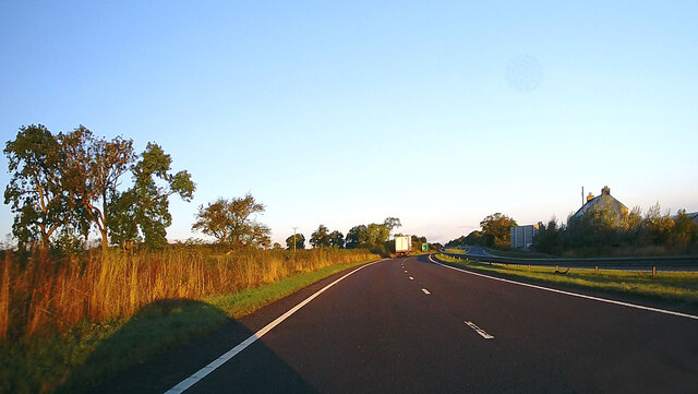
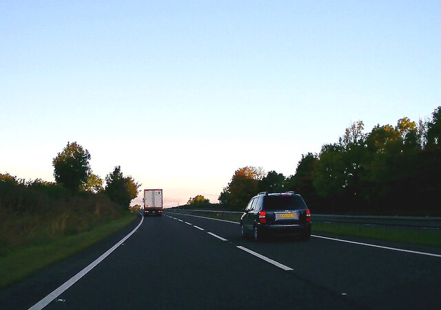
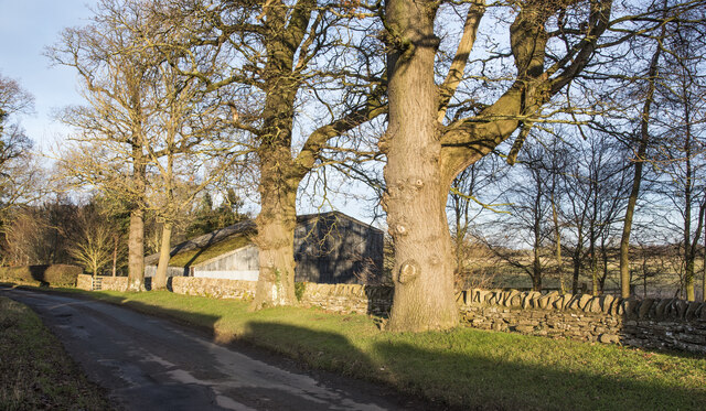
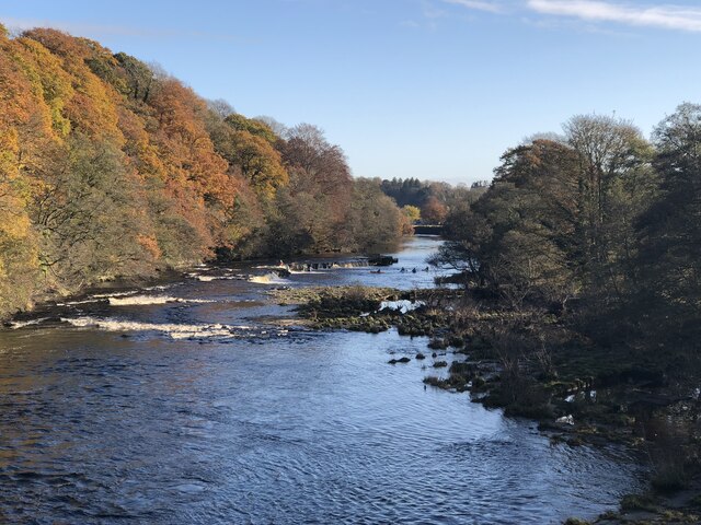
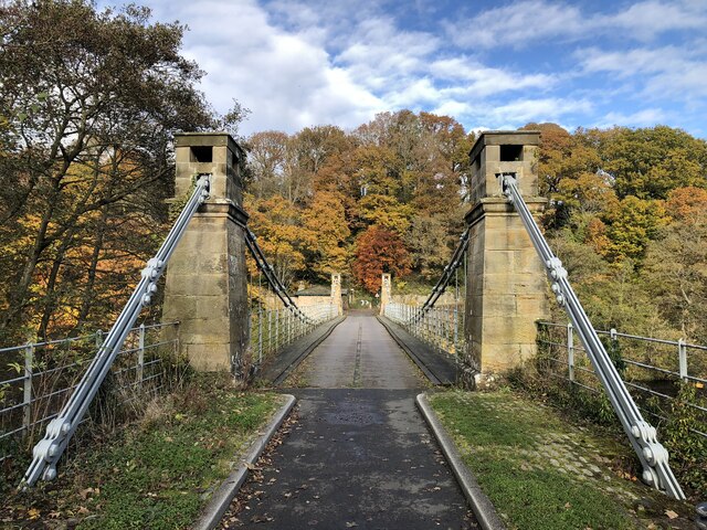
Van Dieman's Land boasts a diverse and picturesque landscape. The region is characterized by its stunning natural beauty, consisting of rugged mountains, lush valleys, and fertile plains. The Yorkshire Downs, located in the central part of the island, are a prominent feature of the landscape. These rolling hills offer breathtaking views and are home to a wide range of flora and fauna.
To the west of the Yorkshire Downs lies the Yorkshire Moorland, a vast expanse of moors and heathlands. This area is known for its unique ecosystem, with heather and grasses covering the undulating terrain. The moorland is home to various bird species, including the iconic Tasmanian wedge-tailed eagle.
The climate in Van Dieman's Land is classified as temperate maritime, with mild summers and cool, wet winters. The region experiences a high amount of rainfall throughout the year, contributing to its lush vegetation and fertile soil.
Van Dieman's Land, Yorkshire, presents a perfect blend of natural beauty and diverse landscapes, making it a popular destination for outdoor enthusiasts, nature lovers, and those seeking tranquility amidst stunning surroundings.
If you have any feedback on the listing, please let us know in the comments section below.
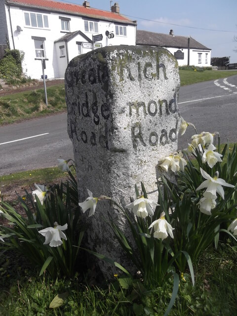
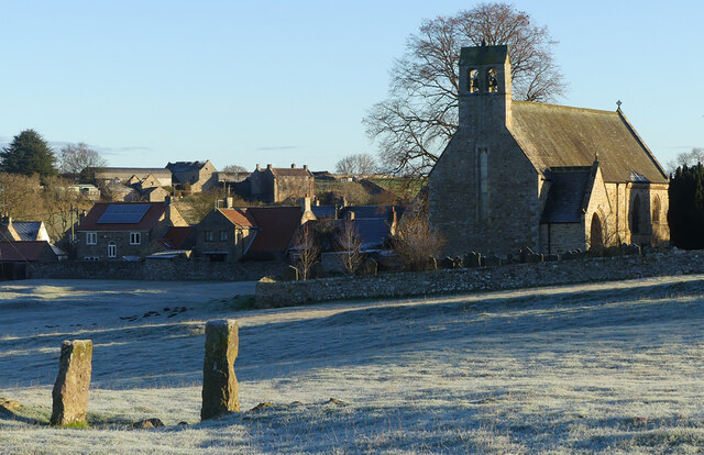
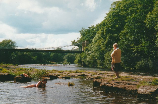
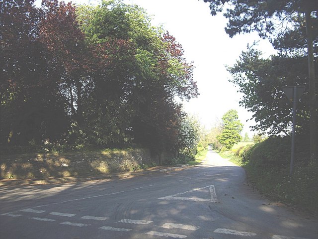
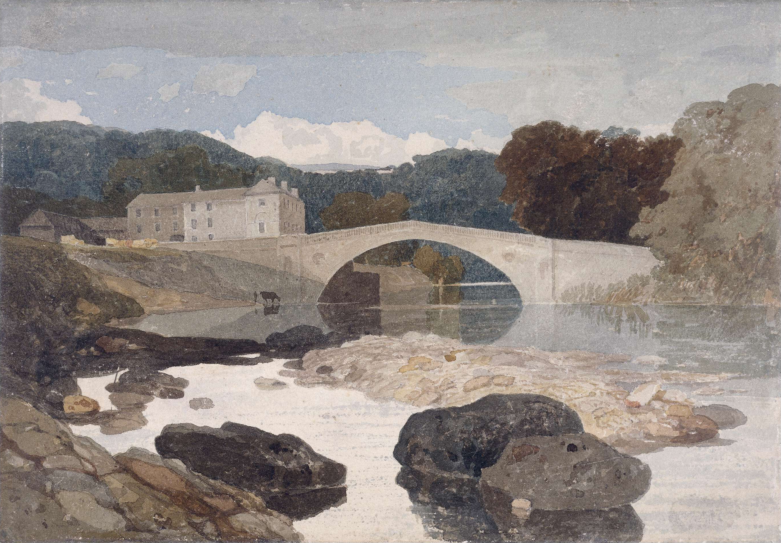
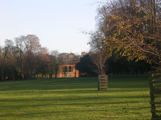
Van Dieman's Land Images
Images are sourced within 2km of 54.512919/-1.8334933 or Grid Reference NZ1013. Thanks to Geograph Open Source API. All images are credited.
Van Dieman's Land is located at Grid Ref: NZ1013 (Lat: 54.512919, Lng: -1.8334933)
Division: North Riding
Unitary Authority: County Durham
Police Authority: Durham
What 3 Words
///jokes.innovator.seasons. Near Hutton Magna, Co. Durham
Nearby Locations
Related Wikis

Wycliffe, County Durham
Wycliffe is a village on the south bank of the River Tees in the North East of England, situated a short distance to the east of Barnard Castle. Wycliffe...

Hutton Magna
Hutton Magna is a village and civil parish in County Durham, England. Situated 7.6 miles (12.2 km) south east of Barnard Castle. Lying within the historic...

Whorlton, County Durham
Whorlton is a small village in County Durham, in England. It is situated near the River Tees and to the east of Barnard Castle. Whorlton Bridge is a 183...
Greta Bridge
Greta Bridge is a village on the River Greta in County Durham, England. == Geography and administration == Greta Bridge lies in the Pennine hills near...

Ovington, County Durham
Ovington is a village and civil parish in County Durham, England. Situated 8 miles (13 km) east of Barnard Castle. Lying within the historic boundaries...
Rokeby Park
Rokeby Park is a country house in the Palladian style in the civil parish of Rokeby, in Northern England. It is close to the confluence of the River Tees...

Newsham, Richmondshire
Newsham is a village and civil parish in the Richmondshire district of North Yorkshire, England. The village is 8 miles (13 km) north west of Richmond...
Barningham, County Durham
Barningham is a village in County Durham, in the Pennines of England. == History == Barningham is listed in the Domesday Book under the Gilling Wapentake...
Have you been to Van Dieman's Land?
Leave your review of Van Dieman's Land below (or comments, questions and feedback).