Wycliffe with Thorpe

Civil Parish in Yorkshire

England

Wycliffe with Thorpe

A66 near Green Brough Towards Brough.
A66 near Green Brough Credit: JThomas

Wycliffe with Thorpe is a civil parish located in the district of Richmondshire, in the county of North Yorkshire, England. Situated in the northern part of the country, the parish covers an area of approximately 9 square kilometers. It is made up of two small villages, Wycliffe and Thorpe, which are nestled in the picturesque countryside of the Yorkshire Dales.

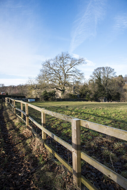
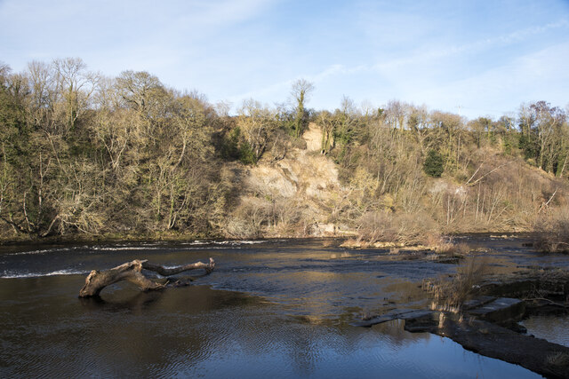
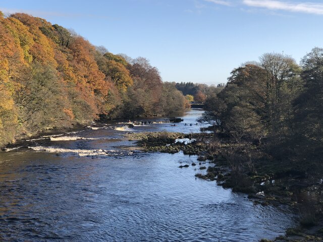
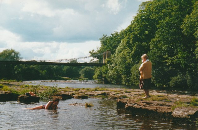
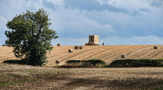
The parish is predominantly rural, with a population of around 150 residents. The area is known for its stunning natural beauty, with rolling hills, meandering rivers, and lush green fields. It provides a tranquil and idyllic setting for those seeking peace and quiet away from the hustle and bustle of city life.

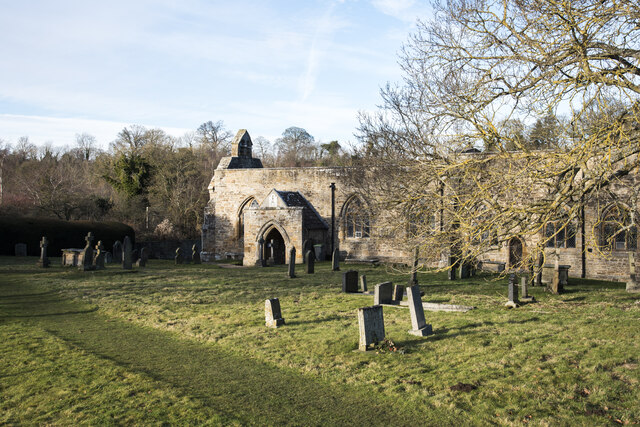
The villages of Wycliffe and Thorpe have a rich history, dating back to medieval times. Many of the buildings in the area are of historical importance, including the Grade II listed St. Mary's Church in Wycliffe, which dates back to the 12th century.

Today, the parish is home to a close-knit community that takes pride in preserving its heritage and maintaining its rural charm. The area offers a range of outdoor activities, including hiking, cycling, and fishing, making it popular with nature enthusiasts and outdoor adventurists.

Overall, Wycliffe with Thorpe is a small and peaceful civil parish in the heart of the Yorkshire Dales, offering a slice of rural paradise for those seeking a slower pace of life and a connection with nature.

If you have any feedback on the listing, please let us know in the comments section below.

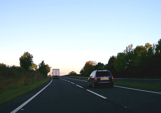
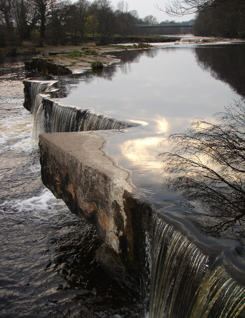
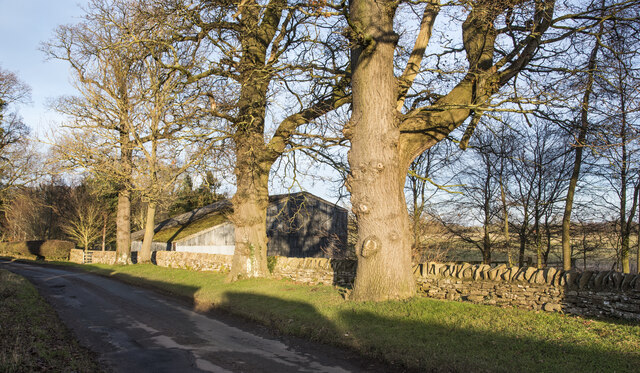
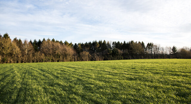
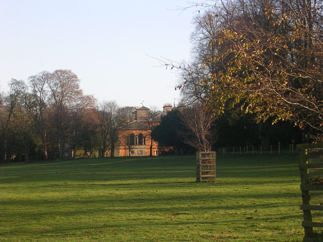
Wycliffe with Thorpe Images

Images are sourced within 2km of 54.517363/-1.840531 or Grid Reference NZ1013. Thanks to Geograph Open Source API. All images are credited.

A66 near Green Brough Towards Brough.
A66 near Green Brough
Towards Brough.
The end of Whorlton Falls The suspension bridge in the background is a useful marker for the approach to Whorlton Falls where many paddlers might want to get out river right and inspect. Some chunky waves guard the approach, and potentially big stoppers form below the pourovers at the top end of the falls, so in high water, some paddlers will take a line hard left (ducking under low branches) to run the drop right down at this bottom end. In low water, a line river right, near the top is preferable since, as seen in this view, there really isn't enough water to get over the rocks down here. This used to be a popular bathing and picnic spot in the summer, but with a change of ownership, the Lido was fenced off from the river and visitors discouraged, but there was a generally positive attitude towards canoeists.
The end of Whorlton Falls
The suspension bridge in the background is a useful marker for the approach to Whorlton Falls where many paddlers might want to get out river right and inspect. Some chunky waves guard the approach, and potentially big stoppers form below the pourovers at the top end of the falls, so in high water, some paddlers will take a line hard left (ducking under low branches) to run the drop right down at this bottom end. In low water, a line river right, near the top is preferable since, as seen in this view, there really isn't enough water to get over the rocks down here. This used to be a popular bathing and picnic spot in the summer, but with a change of ownership, the Lido was fenced off from the river and visitors discouraged, but there was a generally positive attitude towards canoeists.
Large trees lining road at Thorpe The eastern side of the road between Thorpe Hall and Southorpe Farm. There's a large, corrugated metal barn beyond the wall.
Large trees lining road at Thorpe
The eastern side of the road between Thorpe Hall and Southorpe Farm. There's a large, corrugated metal barn beyond the wall.
Tree belt seen across field with emerging crop The tree belt lines a stream and a lane with a bridleway. The field's 'crop' may well simply be one of grass!
Tree belt seen across field with emerging crop
The tree belt lines a stream and a lane with a bridleway. The field's 'crop' may well simply be one of grass!
Fencing to path approaching St. Mary's Church, Wycliffe The church can be seen, partly concealed by bushes, below the central tree in the image. The path has emerged from woodland to cross a field; those using it are tightly corralled by fencing to both sides, no doubt to prevent anyone veering from the precise line of the route... there's an air of intense privacy about the surrounding area!
Fencing to path approaching St. Mary's Church, Wycliffe
The church can be seen, partly concealed by bushes, below the central tree in the image. The path has emerged from woodland to cross a field; those using it are tightly corralled by fencing to both sides, no doubt to prevent anyone veering from the precise line of the route... there's an air of intense privacy about the surrounding area!
St. Mary's Church at Wycliffe St. Mary's Church from this view and even more-so from others appears to be roofless but there is one, it's flat or almost so. In fact, the church is in a very good state of preservation.
St. Mary's Church at Wycliffe
St. Mary's Church from this view and even more-so from others appears to be roofless but there is one, it's flat or almost so. In fact, the church is in a very good state of preservation.
Landslip on north side of River Tees The Tees, west of the small settlement of Wycliffe, where the steep northern slope has suffered a significant slump.
Landslip on north side of River Tees
The Tees, west of the small settlement of Wycliffe, where the steep northern slope has suffered a significant slump.
River Tees At Whorlton Taken from the suspension bridge prior to closure to pedestrians.
River Tees At Whorlton
Taken from the suspension bridge prior to closure to pedestrians.
Whorlton Bridge Grade II listed suspension bridge from 1831. The bridge was closed to vehicles but open for pedestrians when this image was taken in 2019. Shortly after it was deemed unsafe to pedestrians and as of 2022 remains completely closed. Durham County Council are working through a programme of works to establish if the bridge can be repaired and re-opened.
Whorlton Bridge
Grade II listed suspension bridge from 1831. The bridge was closed to vehicles but open for pedestrians when this image was taken in 2019. Shortly after it was deemed unsafe to pedestrians and as of 2022 remains completely closed. Durham County Council are working through a programme of works to establish if the bridge can be repaired and re-opened.
The River Tees at Whorlton Lido in 2000 This popular recreational area was closed by the landowner in 2005
The River Tees at Whorlton Lido in 2000
This popular recreational area was closed by the landowner in 2005
River Tees swimming area at Whorlton Lido in 2001
Whorlton Harevesting wheat on fields to the west of Whorlton.
Whorlton
Harevesting wheat on fields to the west of Whorlton.
Whorlton House on the village green in Whorlton.
Whorlton
House on the village green in Whorlton.
Whorlton Bridge View looking north across Whorlton Suspension Bridge which crosses the River Tees.
Whorlton Bridge
View looking north across Whorlton Suspension Bridge which crosses the River Tees.
Wycliffe Collecting straw bales on farmland near Wycliffe.
Wycliffe
Collecting straw bales on farmland near Wycliffe.
Wycliffe Baling straw on farmland near Wycliffe.
Wycliffe
Baling straw on farmland near Wycliffe.
Graft's Farm View looking across the River Tees to Graft's Farm.
Graft's Farm
View looking across the River Tees to Graft's Farm.
Wycliffe Solitary tree in fields at Wycliffe.
Wycliffe
Solitary tree in fields at Wycliffe.
Show me another place!

Wycliffe with Thorpe is located at Grid Ref: NZ1013 (Lat: 54.517363, Lng: -1.840531)

Division: North Riding

Unitary Authority: County Durham

Police Authority: Durham

What 3 Words

///spelling.valuables.portable. Near Rokeby, Co. Durham

Related Wikis

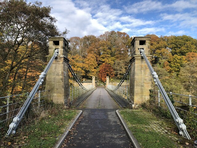
Wycliffe, County Durham

Wycliffe is a village on the south bank of the River Tees in the North East of England, situated a short distance to the east of Barnard Castle. Wycliffe...

Whorlton, County Durham

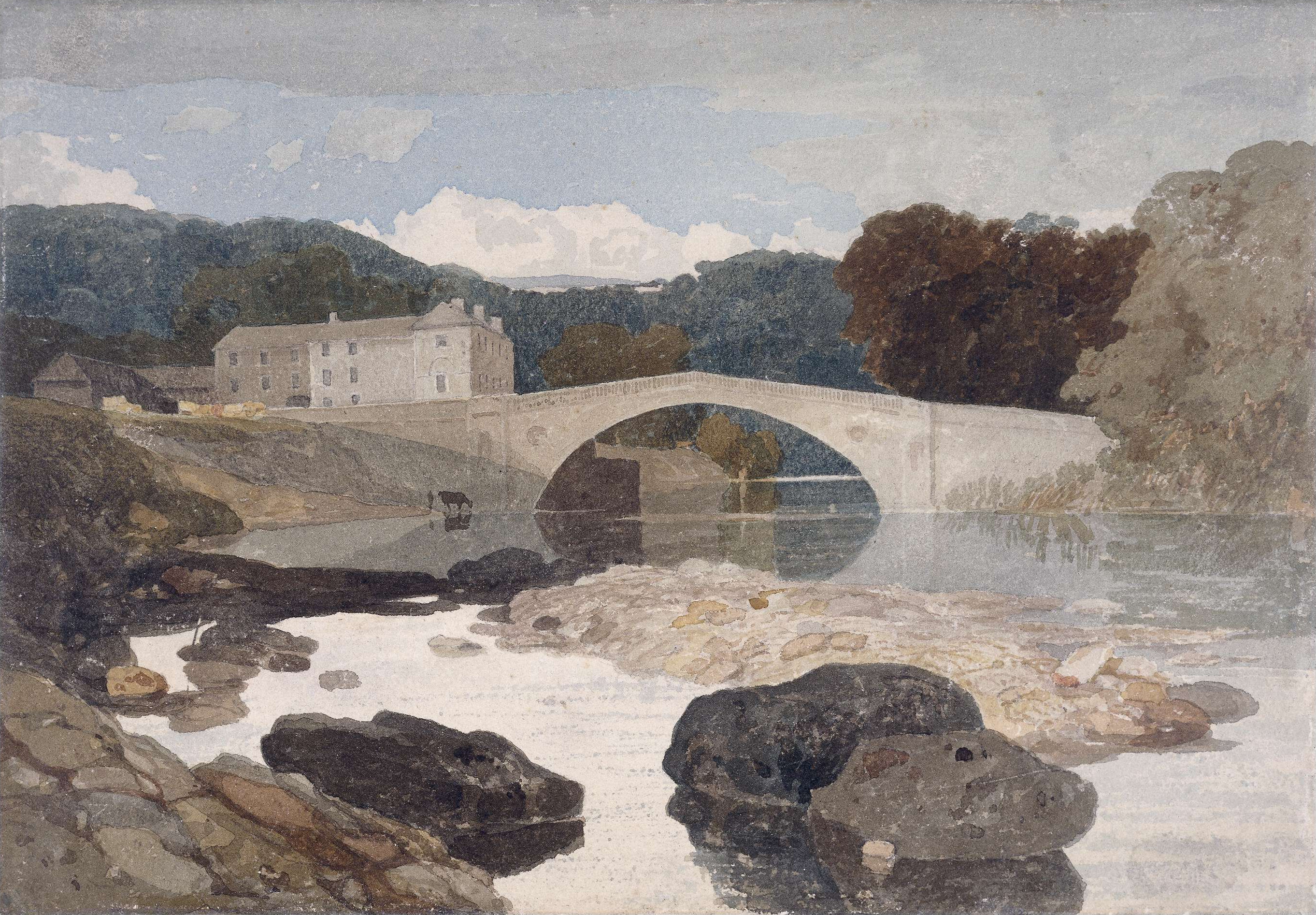
Whorlton is a small village in County Durham, in England. It is situated near the River Tees and to the east of Barnard Castle. Whorlton Bridge is a 183...

Greta Bridge

Greta Bridge is a village on the River Greta in County Durham, England. == Geography and administration == Greta Bridge lies in the Pennine hills near...

Rokeby Park

Rokeby Park is a country house in the Palladian style in the civil parish of Rokeby, in Northern England. It is close to the confluence of the River Tees...

Hutton Magna

Hutton Magna is a village and civil parish in County Durham, England. Situated 7.6 miles (12.2 km) south east of Barnard Castle. Lying within the historic...

Ovington, County Durham

Ovington is a village and civil parish in County Durham, England. Situated 8 miles (13 km) east of Barnard Castle. Lying within the historic boundaries...

Rokeby, County Durham

Rokeby ( ROHK-bee) is a civil parish about 2.5 miles from Barnard Castle, in the County Durham district, in the ceremonial county of Durham, England. The...

Newsham, Richmondshire

Newsham is a village and civil parish in the Richmondshire district of North Yorkshire, England. The village is 8 miles (13 km) north west of Richmond...

Related Videos

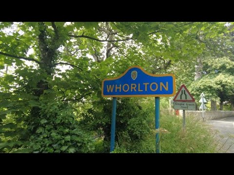
Whorlton Bridge, County Durham, (4K)

Whorlton Bridge background and history. Background In 2019, due to a report of damage to the bridge, an inspection forced us to ...

Cooking at the Meeting of the Waters and Egglestone Abbey

A very colourful Autumnal walk along the River Tees, to the 'Meeting of the Waters' a local beauty spot, where the River Greta ...

Walk to Whorlton Lido with the dogs

Walk down to Whorlton Lido with the dogs to cool down.

Delightful: Thorpe Farm Camping, Mainsgill & Morritt Afternoon Tea

We stay at Thorpe Farm Campsite between Richmond and Barnard Castle just off the A66. On the way we call off at Mainsgill ...

Nearby Amenities

Located within 500m of 54.517363,-1.840531
South Thorpe
Place: hamlet
Lat/Long: 54.5161981/-1.8433537
The data included in this document is from www.openstreetmap.org. The data is made available under ODbL.

Have you been to Wycliffe with Thorpe?

Leave your review of Wycliffe with Thorpe below (or comments, questions and feedback).