High Moor
Downs, Moorland in Yorkshire
England
High Moor
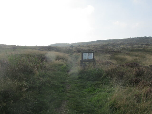
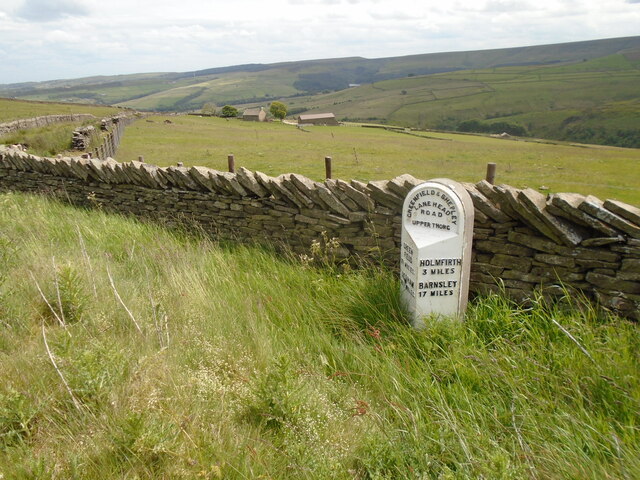
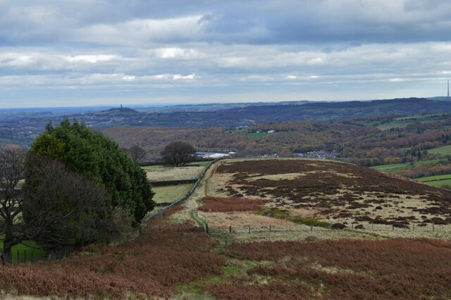
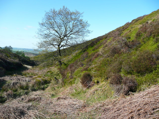
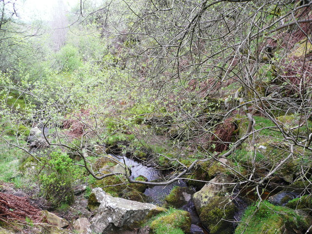
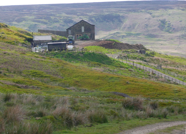
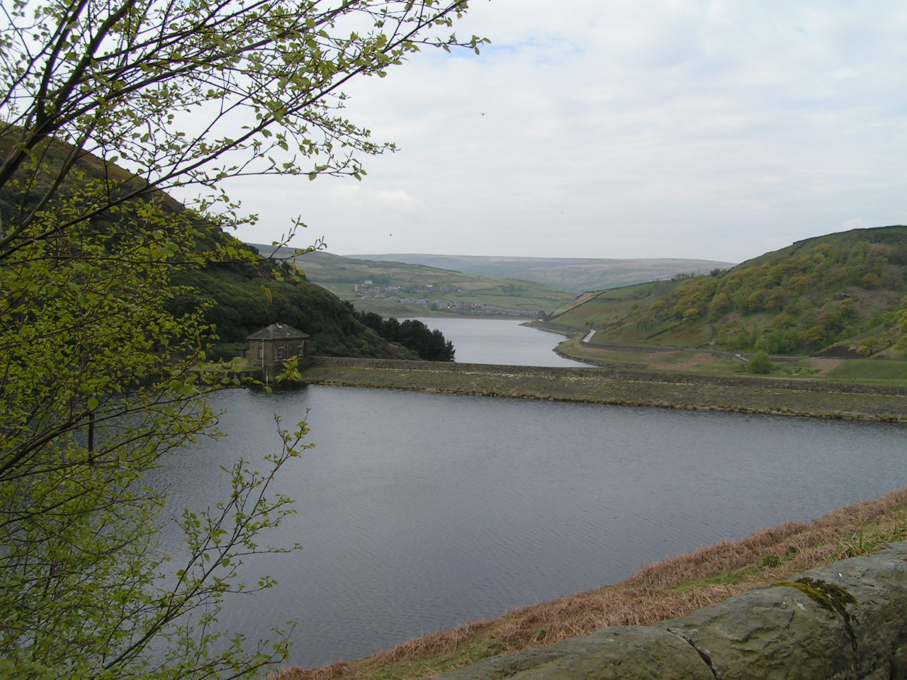
High Moor is an area of stunning natural beauty located in Yorkshire, England. Situated in the northern part of the county, it encompasses vast expanses of rugged and undulating moorland, interspersed with rolling hills and rocky outcrops. With an elevation ranging from 200 to 400 meters above sea level, High Moor offers breathtaking panoramic views of the surrounding landscape.
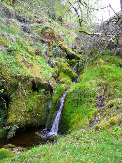
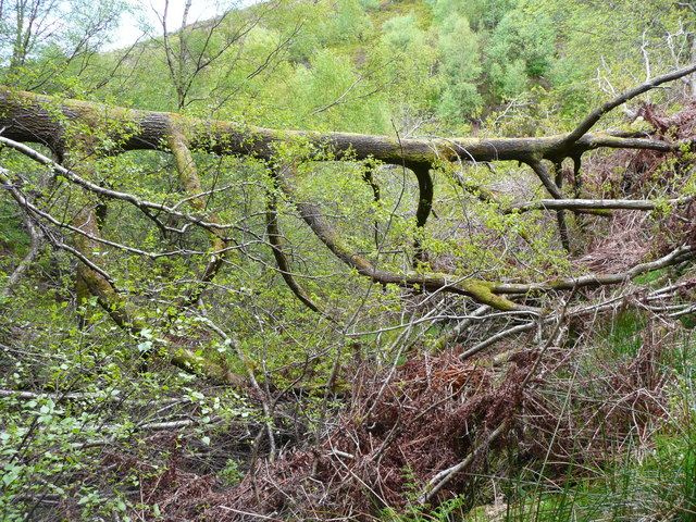
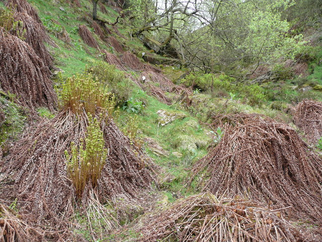
Covered in heather and grasses, the moorland provides a distinctive purple hue during the summer months, creating a picturesque and idyllic setting. The area is also home to a diverse range of flora and fauna, including various species of birds, such as red grouse and skylarks, as well as rare plants like the bilberry.
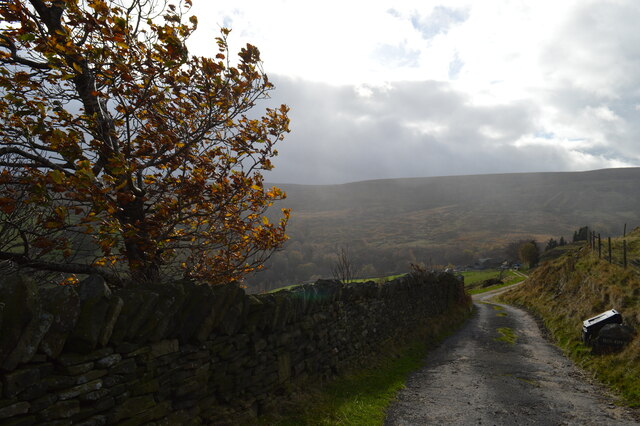
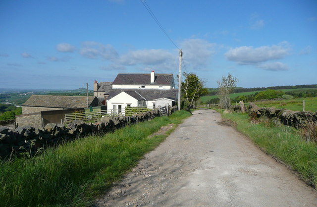
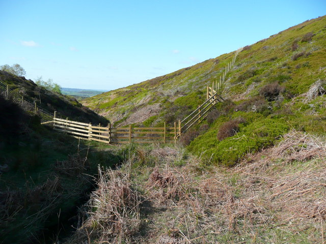
High Moor is renowned for its tranquil and peaceful atmosphere, making it a popular destination for outdoor enthusiasts. Visitors can explore the vast network of footpaths and bridleways that crisscross the moorland, offering opportunities for hiking, horseback riding, and cycling. The area is also frequented by birdwatchers, who come to observe the rich avian life that thrives in this unique habitat.
In addition to its natural beauty, High Moor is steeped in history and folklore. Ancient burial mounds and stone circles can be found scattered across the landscape, testament to the area's rich heritage. Local legends tell tales of hidden treasure and mythical creatures roaming the moors, adding to the sense of mystery and intrigue.
High Moor, with its stunning vistas, diverse wildlife, and rich history, offers a truly unforgettable experience for those seeking to immerse themselves in the untamed beauty of Yorkshire's countryside.
If you have any feedback on the listing, please let us know in the comments section below.
High Moor Images
Images are sourced within 2km of 53.581692/-1.873827 or Grid Reference SE0809. Thanks to Geograph Open Source API. All images are credited.


High Moor is located at Grid Ref: SE0809 (Lat: 53.581692, Lng: -1.873827)
Division: West Riding
Unitary Authority: Kirklees
Police Authority: West Yorkshire
What 3 Words
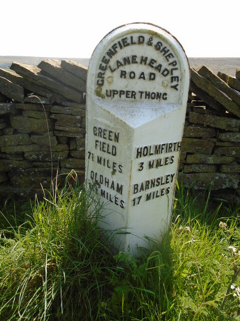
///listening.expel.homing. Near Meltham, West Yorkshire
Related Wikis
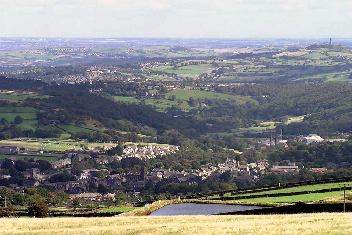
Meltham
Meltham is a town and civil parish within the Metropolitan Borough of Kirklees, in West Yorkshire, England. It lies in the Holme Valley, below Wessenden...

Meltham Town Hall
Meltham Town Hall is a municipal building in Carlile Street in Meltham, West Yorkshire, England. The building, which formerly operated as the offices of...

Meltham railway station (England)
Meltham railway station was the terminus of the Meltham branch line from Lockwood (Huddersfield) to Meltham, in the West Riding of Yorkshire, England....

Helme, West Yorkshire
Helme is a small village in the Kirklees district, in the county of West Yorkshire, England. It is near the town of Meltham and Blackmoorfoot Reservoir...

Holmfirth floods
The Holmfirth floods were a number of instances when severe flooding had occurred in the Holme Valley, West Yorkshire, England affecting Holmfirth and...
Digley Reservoir
Digley Reservoir is a lake located downstream of Bilberry Reservoir, 2 miles (3.2 km) south west of Holmfirth, in West Yorkshire, England. The reservoir...
Wessenden Valley
The Wessenden Valley is a moorland valley in the Dark Peak, immediately south of Marsden in West Yorkshire, England. The name Wessenden derives from Old...

Austonley
Austonley is a hamlet in the civil parish of Holme Valley, West Yorkshire, England, about 2 miles (3.2 km) west of Holmfirth.
Related Videos

Beautiful views #pennines #yorkshire #rucking #hiking #shortsvideo #tabbing #fitover55
It's my #birthday today so I loaded up the #bergan as has become tradition to tab 5.6 km carrying 56lb up 1000 feet of local hill in ...

cock growing stone!!! #hiking #rucking #walking #funny #short #getoutside #goruck #gooutside
It's actually the Cock Crowing Stone The term "cock crowing stone" is usually given to standing stones with folklore attached.

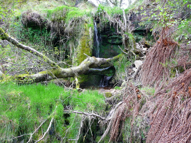
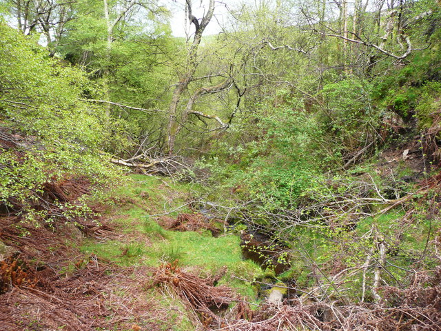
Finding Folly Dolly Falls Waterfall / Meltham
Today you'll Find me in Meltham locating the Hidden Waterfall off the Greenway showing some the scenery and history ...
Nearby Amenities
Located within 500m of 53.581692,-1.873827Have you been to High Moor?
Leave your review of High Moor below (or comments, questions and feedback).