Cote Pasture
Downs, Moorland in Yorkshire Richmondshire
England
Cote Pasture

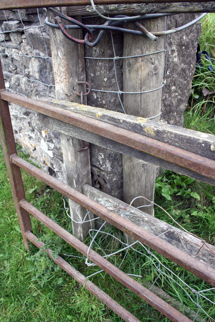
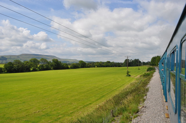
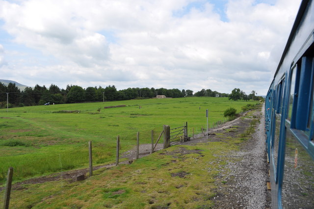
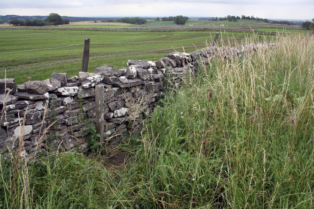
Cote Pasture, located in Yorkshire, is a picturesque landscape characterized by its awe-inspiring downs and moorland. Stretching across a vast expanse, the area offers a diverse range of natural features and breathtaking views. The pasture is renowned for its rolling hills and open grasslands, making it an ideal location for hiking, walking, and exploring the great outdoors.
The downs of Cote Pasture are a prominent feature, comprising gently sloping hills that create a sense of tranquility and peace. These grassy slopes are often adorned with vibrant wildflowers and heather, providing a colorful spectacle during the summer months. The downs also offer stunning panoramic views of the surrounding countryside, with distant hills and valleys creating a captivating backdrop.
The moorland within Cote Pasture showcases a different facet of the landscape. Here, visitors can experience the untamed beauty of the moors, with their rugged terrain and sweeping vistas. The moorland is home to a rich variety of flora and fauna, including heather, mosses, and rare bird species. It is a haven for nature enthusiasts and birdwatchers alike, offering the opportunity to spot unique wildlife in its natural habitat.
Cote Pasture benefits from a range of walking trails and footpaths, allowing visitors to explore the area at their own pace. The paths wind through the downs and moorland, offering different levels of difficulty to cater to all abilities. Along the way, walkers can enjoy the tranquility of the surroundings and discover hidden gems such as ancient stone circles or remnants of historical settlements.
Overall, Cote Pasture in Yorkshire is a captivating landscape that combines the beauty of downs and moorland. Its diverse natural features, stunning views, and abundance of wildlife make it a must-visit destination for nature lovers and outdoor enthusiasts.
If you have any feedback on the listing, please let us know in the comments section below.
Cote Pasture Images
Images are sourced within 2km of 54.320517/-1.8715662 or Grid Reference SE0891. Thanks to Geograph Open Source API. All images are credited.


Cote Pasture is located at Grid Ref: SE0891 (Lat: 54.320517, Lng: -1.8715662)
Division: North Riding
Administrative County: North Yorkshire
District: Richmondshire
Police Authority: North Yorkshire
What 3 Words
///untrained.hologram.pelting. Near Leyburn, North Yorkshire
Nearby Locations
Related Wikis
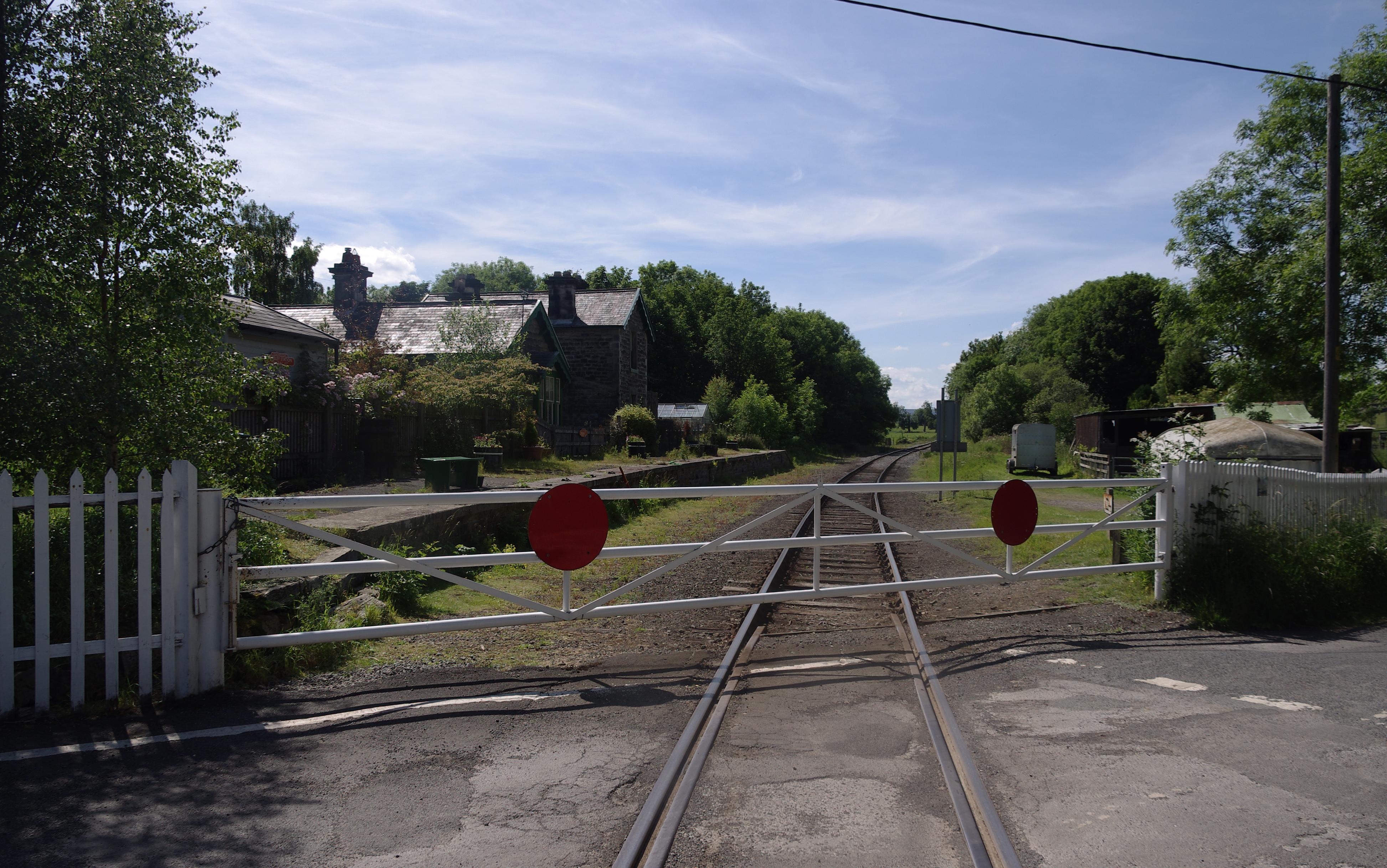
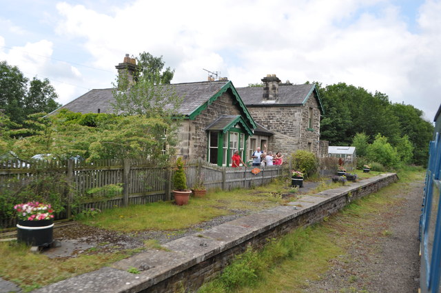
Wensley railway station
Wensley railway station is a disused railway station on the Wensleydale Railway, in North Yorkshire, England. It was opened by the North Eastern Railway...

Preston-under-Scar
Preston-under-Scar is a village and civil parish in North Yorkshire, England. It is situated approximately 2 miles (4 km) west of Leyburn. The village...
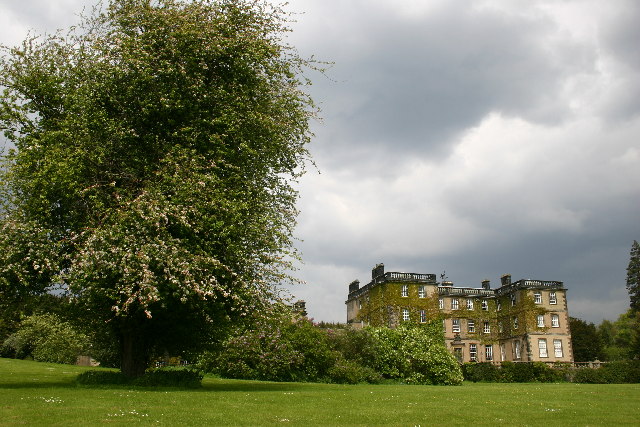
Bolton Hall, North Yorkshire
Bolton Hall is a country house near Preston-under-Scar, Richmondshire, North Yorkshire, England, in Wensleydale, some 3 miles (5 km) west of Leyburn. It...
Wensley, North Yorkshire
Wensley is a small village and civil parish in North Yorkshire, England. It consists of a few homes and holiday cottage, an inn, a pub and a historic church...
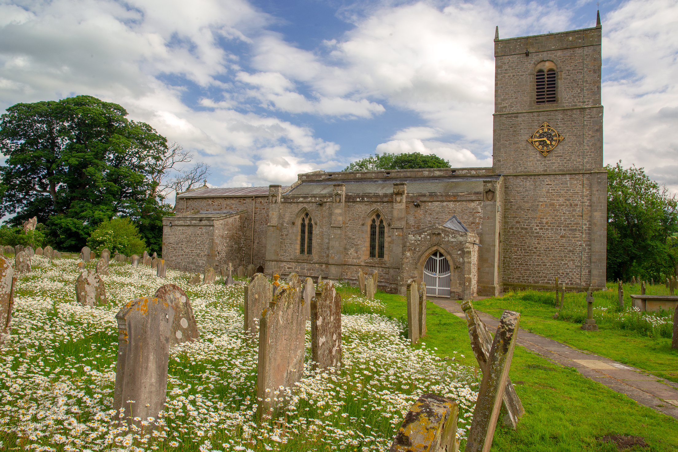
Holy Trinity Church, Wensley
Holy Trinity Church is a redundant Anglican church on Low Lane in the village of Wensley, North Yorkshire, England. The building is recorded in the National...

Leyburn Old Glebe
Leyburn Old Glebe Nature Reserve is a nature reserve and Site of Special Scientific Interest (SSSI) managed by the Yorkshire Wildlife Trust. It is about...
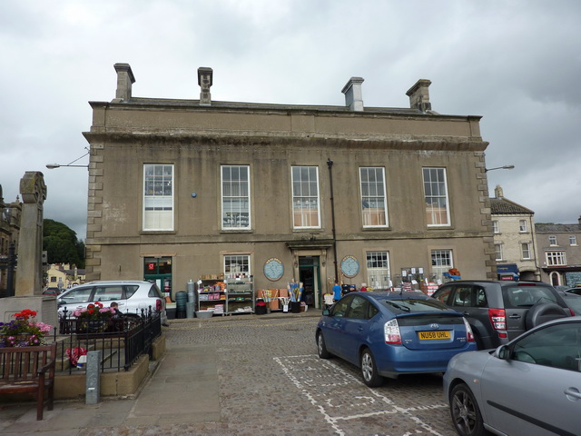
Leyburn Town Hall
Leyburn Town Hall is a municipal building in the Market Place, Leyburn, North Yorkshire, England. The structure, which is used for retail purposes and...
Leyburn
Leyburn is a market town and civil parish in North Yorkshire, England, sitting above the northern bank of the River Ure in Wensleydale. Historically in...
Nearby Amenities
Located within 500m of 54.320517,-1.8715662Have you been to Cote Pasture?
Leave your review of Cote Pasture below (or comments, questions and feedback).