Broomy Fields
Downs, Moorland in Staffordshire Lichfield
England
Broomy Fields
Broomy Fields is a picturesque region located in Staffordshire, England. It encompasses a combination of downs and moorland landscapes, offering visitors a diverse and stunning natural environment. With an area spanning several acres, Broomy Fields is a haven for nature enthusiasts and outdoor lovers.
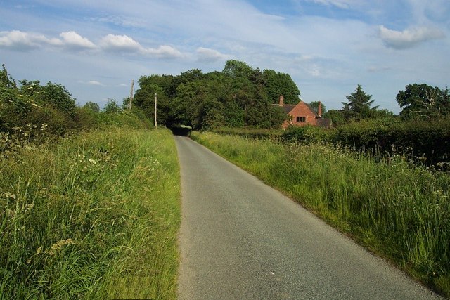
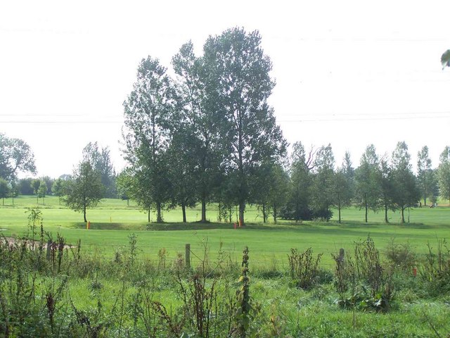
The downs of Broomy Fields are characterized by gently rolling hills and open grasslands. These areas provide breathtaking panoramic views of the surrounding countryside. Visitors can enjoy leisurely walks or hikes, taking in the beauty of the vast greenery and the serene atmosphere.
In contrast, the moorland of Broomy Fields offers a more rugged and wild terrain. The moors are characterized by expanses of heather, grasses, and scattered shrubs. This unique landscape provides a habitat for various species of birds, including the red grouse, which is indigenous to the area.
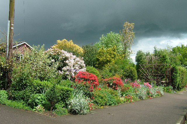
Broomy Fields is also home to a rich variety of flora and fauna. The downs feature a range of wildflowers, including bluebells, daisies, and primroses, which create a colorful tapestry during the spring and summer months. The moorland is dotted with cotton grass and various species of moss, creating a striking contrast against the greens and purples of the heather.
Visitors to Broomy Fields can engage in a multitude of activities, such as birdwatching, photography, and picnicking. The region is also popular with hikers and cyclists, who can explore the numerous trails that wind through the area.
Overall, Broomy Fields in Staffordshire offers a unique blend of downs and moorland landscapes, providing visitors with a serene and captivating natural experience.
If you have any feedback on the listing, please let us know in the comments section below.
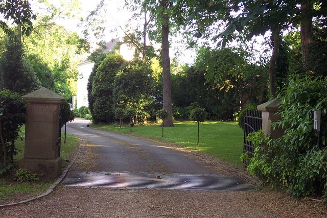
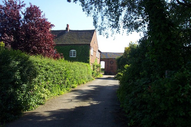
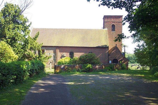
Broomy Fields Images
Images are sourced within 2km of 52.717351/-1.8821184 or Grid Reference SK0813. Thanks to Geograph Open Source API. All images are credited.


Broomy Fields is located at Grid Ref: SK0813 (Lat: 52.717351, Lng: -1.8821184)
Administrative County: Staffordshire
District: Lichfield
Police Authority: Staffordshire
What 3 Words
///mole.treatable.beep. Near Armitage, Staffordshire
Nearby Locations
Related Wikis

Longdon, Staffordshire
Longdon is a village and civil parish in the District of Lichfield, Staffordshire, England. == Location == The village is situated midway between the town...

George's Hayes
George's Hayes is a nature reserve of the Staffordshire Wildlife Trust. It is an ancient woodland, about a mile south-west of the village of Longdon, between...
Farewell Priory
Farewell Priory was a Benedictine nunnery near Lichfield in Staffordshire, England. Although it received considerable episcopal support, it was always...
Farewell and Chorley
Farewell and Chorley is a civil parish in Lichfield District, Staffordshire, England. The villages of Farewell and Chorley, that make up the parish, lie...

Upper Longdon
Upper Longdon is a village within the civil parish of Longdon and is in the District of Lichfield of the English county of Staffordshire. == Location... ==

Beaudesert, Cannock Chase
Beaudesert was an estate and stately home on the southern edge of Cannock Chase in Staffordshire. It was one of the family seats of the Paget family, the...

Armitage
Armitage is a village in Staffordshire, England on the south side of the Trent and Mersey Canal south just outside of the market town of Rugeley and north...

Armitage railway station
Armitage railway station was a station on the Trent Valley Line, part of what is now known as the West Coast Main Line, and served the village of Armitage...
Nearby Amenities
Located within 500m of 52.717351,-1.8821184Have you been to Broomy Fields?
Leave your review of Broomy Fields below (or comments, questions and feedback).