The Moor
Downs, Moorland in Gloucestershire Cotswold
England
The Moor
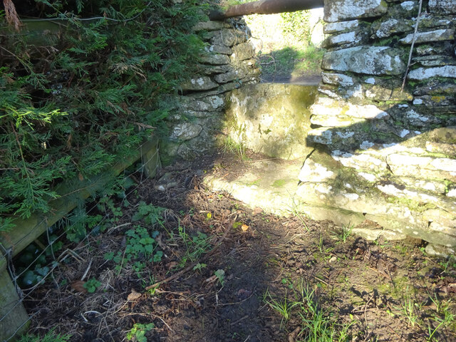
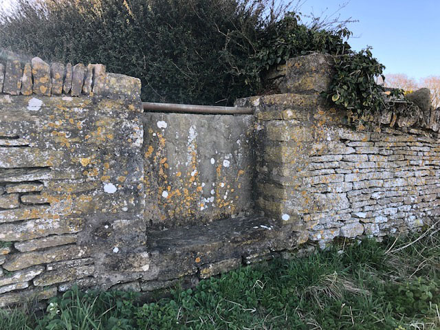
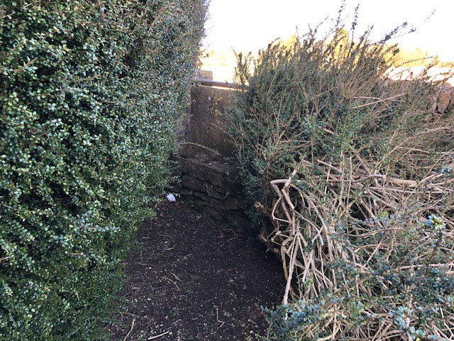
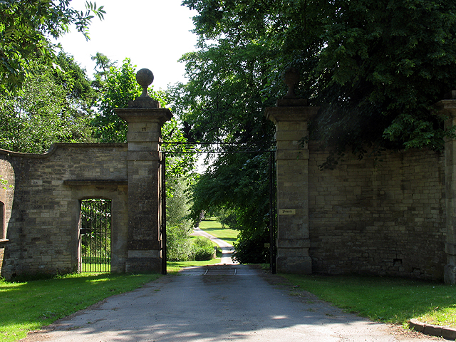
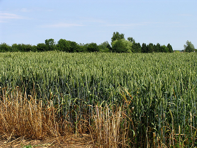
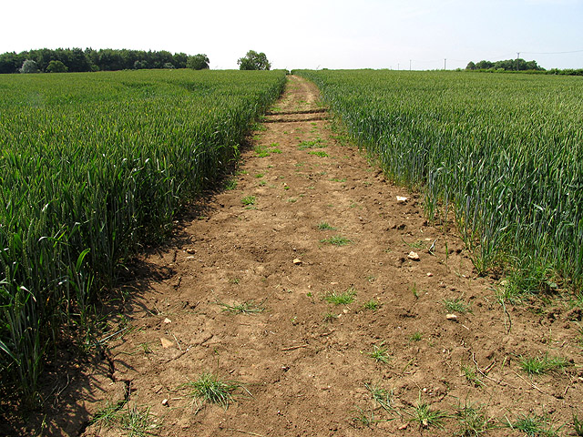
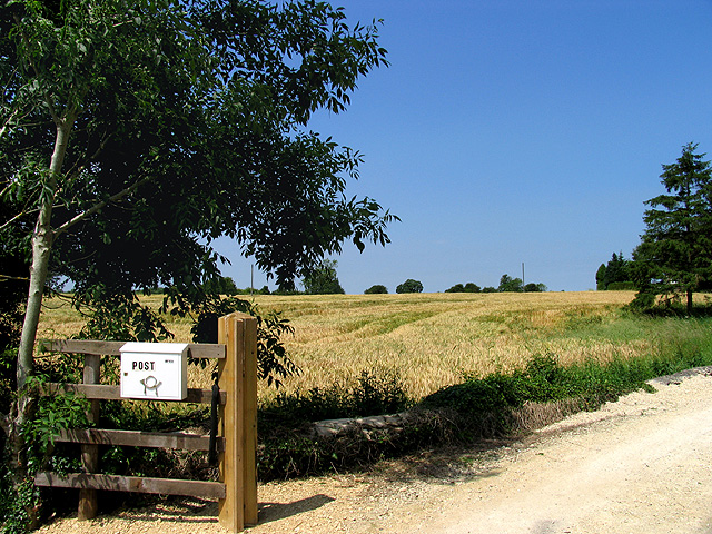
The Moor, located in Gloucestershire, is a picturesque area known for its stunning downs and moorland landscapes. Stretching over a vast expanse, this region offers a diverse range of natural features. The Moor is characterized by its rolling hills, heather-covered moors, and expansive grasslands. It is a haven for wildlife enthusiasts, with a rich variety of flora and fauna thriving in this unspoiled environment.
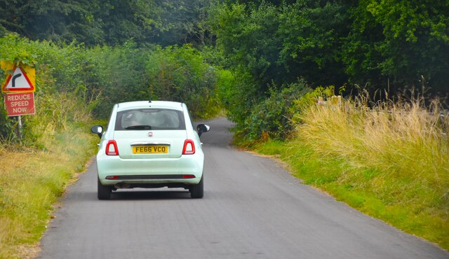
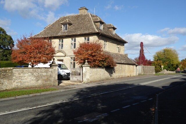
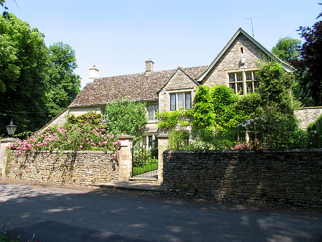
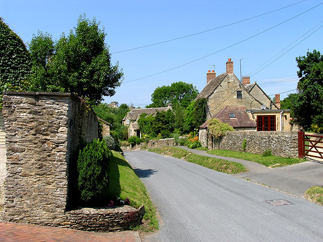
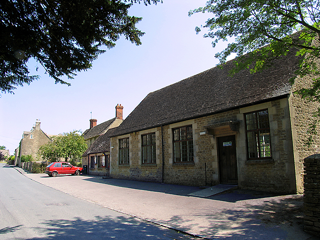
The landscape of The Moor is dotted with small villages and farms, adding to its charm and rural character. The area is popular among hikers and nature lovers, who can explore the numerous walking trails that crisscross the moorland. These trails offer breathtaking views of the surrounding countryside and provide an opportunity to witness the beauty of nature up close.
In addition to its natural beauty, The Moor also holds historical significance. It is home to ancient burial mounds, stone circles, and other archaeological sites, showcasing the area's rich heritage. Visitors can delve into the past while exploring these fascinating remnants of early human habitation.
The Moor experiences a temperate climate, with mild summers and cool winters. It is not uncommon to witness dramatic changes in weather, with misty mornings and sudden showers adding to the atmospheric allure of the region.
Overall, The Moor in Gloucestershire is a captivating landscape that combines natural splendor with a touch of history. Whether one is seeking tranquility amidst nature or a chance to uncover the mysteries of the past, The Moor offers a truly immersive experience in the heart of the British countryside.
If you have any feedback on the listing, please let us know in the comments section below.
The Moor Images
Images are sourced within 2km of 51.710009/-1.8846045 or Grid Reference SP0801. Thanks to Geograph Open Source API. All images are credited.

The Moor is located at Grid Ref: SP0801 (Lat: 51.710009, Lng: -1.8846045)
Administrative County: Gloucestershire
District: Cotswold
Police Authority: Gloucestershire
What 3 Words
///libraries.outermost.drop. Near South Cerney, Gloucestershire
Nearby Locations
Related Wikis
Ampney St Peter
Ampney St Peter is a small village and civil parish in the Cotswolds, part of the Cotswold of Gloucestershire, England. According to the 2014 mid year...
Ampney St Mary
Ampney St Mary is a small village and civil parish in the Cotswolds, part of the Cotswold District of Gloucestershire, England. According to the 2001 census...
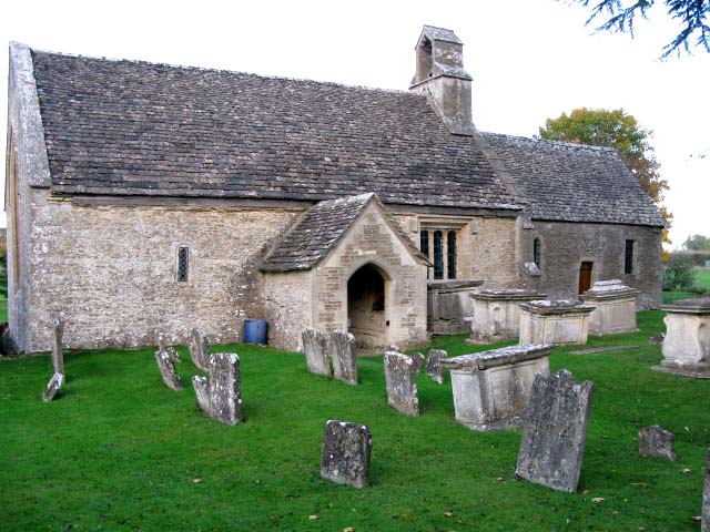
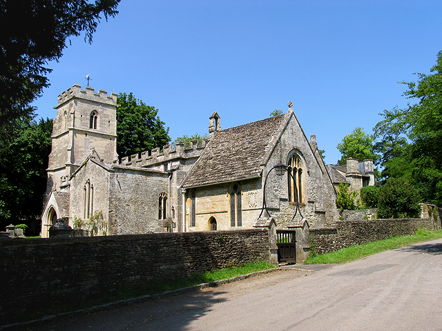
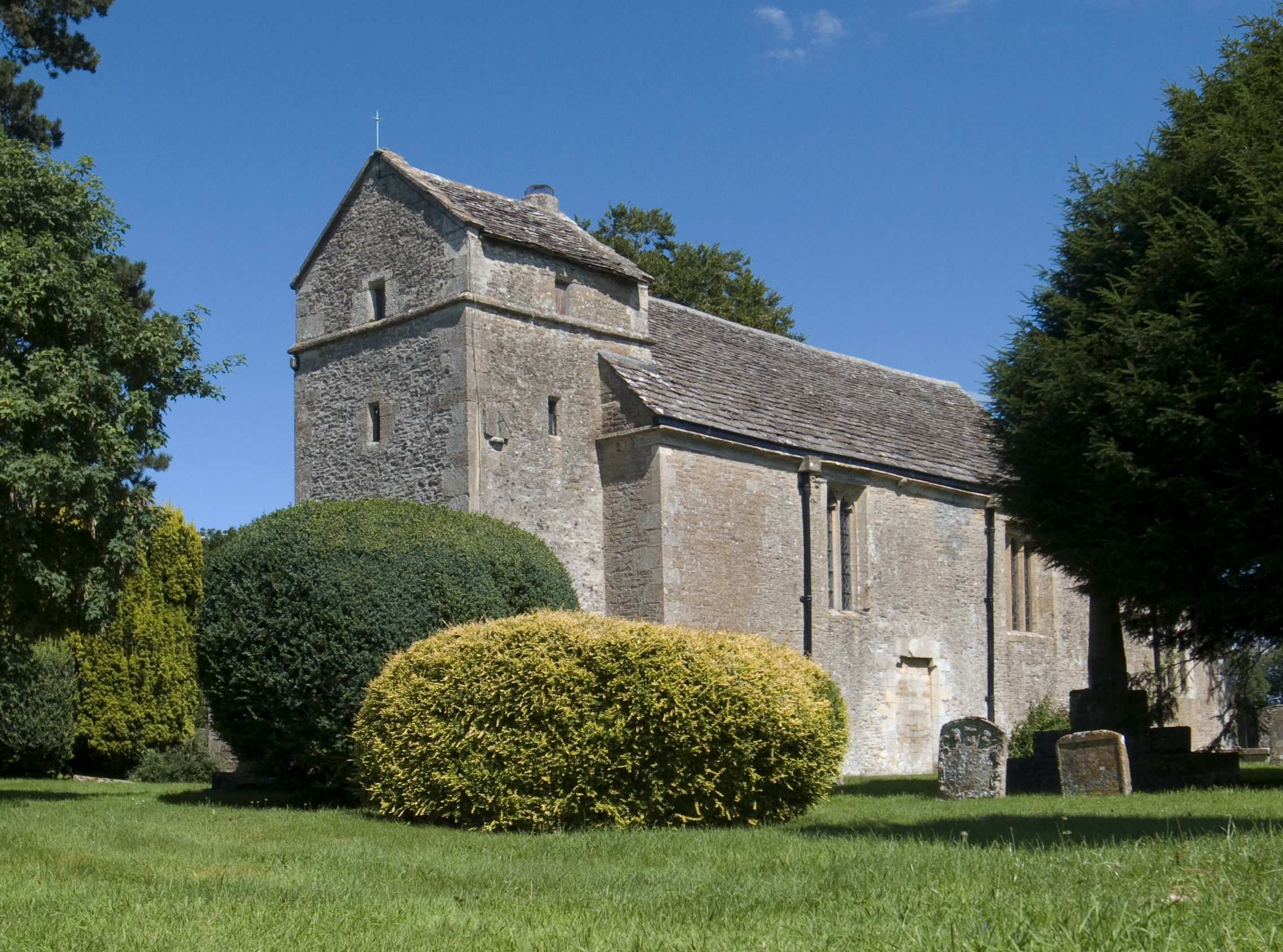
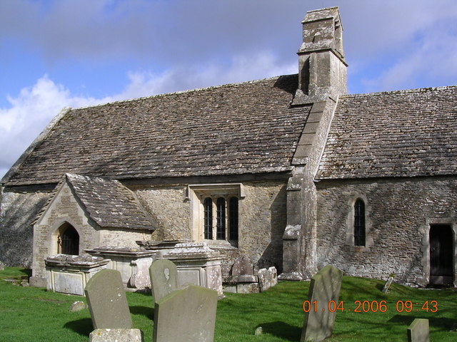
Church of St Mary, Ampney St Mary
The Anglican Church of St Mary at Ampney St Mary in the Cotswold District of Gloucestershire, England was built in the 12th and 13th centuries. It is a...
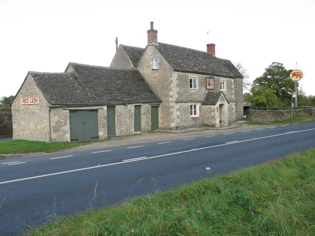
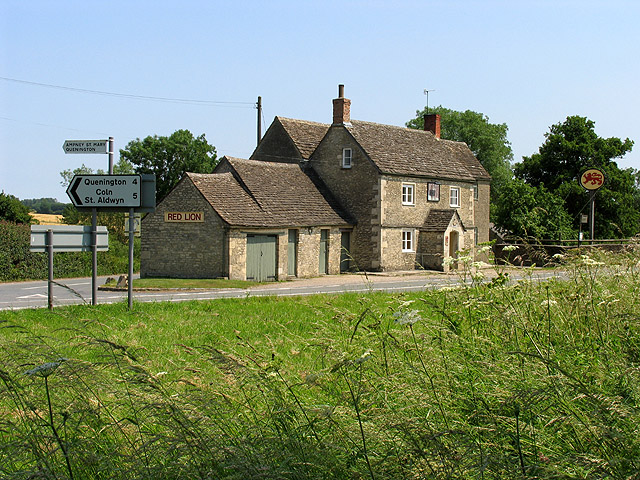
Red Lion, Ampney St Peter
The Red Lion is a Grade II listed pub at Ampney St Peter, Gloucestershire, GL7 5SL.It is on the Campaign for Real Ale's National Inventory of Historic...
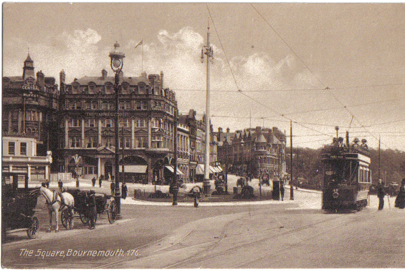
Bournemouth Corporation Tramways
Bournemouth Corporation Tramways served the town of Bournemouth in Dorset (although at the time it was in Hampshire) from 23 July 1902 until 8 April 1936...

Harnhill
Harnhill is a village and former civil parish now in the parish of Driffield, in the Cotswold district, in the county of Gloucestershire, England. It is...

Ampney Crucis
Ampney Crucis is a village and civil parish in the Cotswolds, part of the Cotswold District of Gloucestershire, England. The village is in the Ampney-Coln...

Church of the Holy Rood, Ampney Crucis
The Anglican Church of the Holy Rood at Ampney Crucis in the Cotswold District of Gloucestershire, England has Saxon foundations with some of the stonework...
Nearby Amenities
Located within 500m of 51.710009,-1.8846045Have you been to The Moor?
Leave your review of The Moor below (or comments, questions and feedback).