Badsey Field
Downs, Moorland in Worcestershire Wychavon
England
Badsey Field
Badsey Field, located in Worcestershire, England, is a scenic area encompassing downs and moorland landscapes. Covering an expansive area, it offers visitors a diverse range of natural features and recreational opportunities.
The downs of Badsey Field are characterized by gently rolling hills covered in lush grasses and scattered wildflowers. These open spaces provide breathtaking views of the surrounding countryside and are popular among hikers, walkers, and picnickers. The downs also serve as a habitat for various wildlife species, including birds and small mammals, making it an ideal spot for nature enthusiasts and birdwatchers.
Moving towards the moorland section of Badsey Field, visitors are treated to a different landscape altogether. Moorlands are characterized by vast expanses of heather, bracken, and grasses, interspersed with rocky outcrops and bogs. This unique ecosystem supports a wide array of plant and animal species, including rare birds like curlews and merlins.
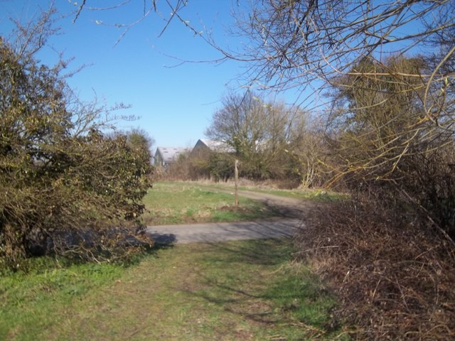
The area is traversed by well-maintained footpaths and trails, making it accessible for both casual strollers and experienced hikers. Badsey Field is also home to a network of cycle routes, providing opportunities for cyclists to explore the area's natural beauty.
In addition to its natural attractions, Badsey Field boasts a rich cultural heritage. The remains of ancient settlements and burial sites can be found within the downs and moorland, offering a glimpse into the area's past.
Overall, Badsey Field in Worcestershire is a picturesque destination that combines stunning natural landscapes, diverse wildlife, and a rich history, making it a must-visit location for nature lovers and history enthusiasts alike.
If you have any feedback on the listing, please let us know in the comments section below.
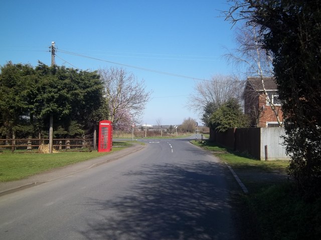
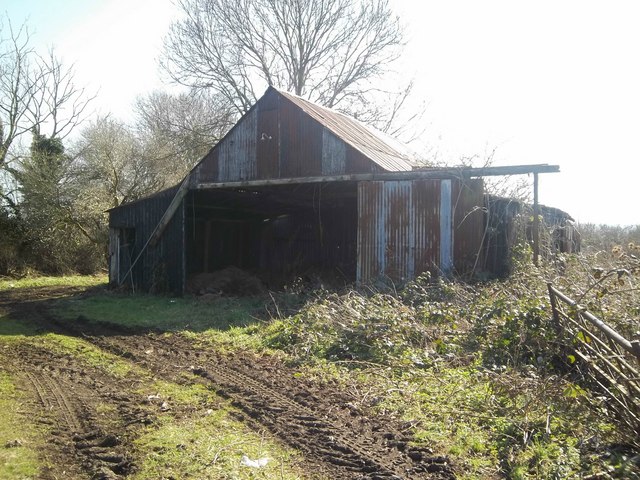
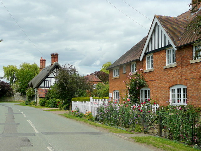
Badsey Field Images
Images are sourced within 2km of 52.087445/-1.8842632 or Grid Reference SP0843. Thanks to Geograph Open Source API. All images are credited.

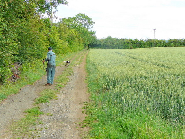
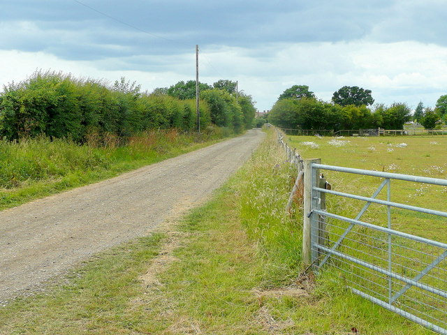
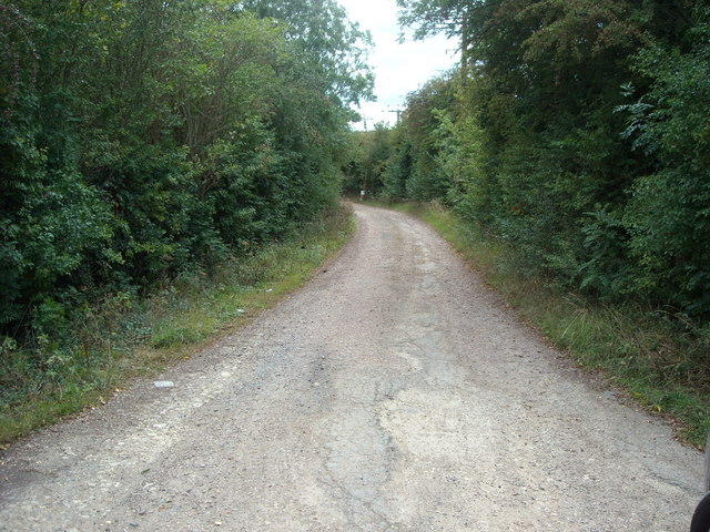
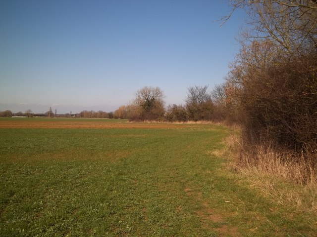
![Footpath to Bretforton [2] The footpath leaves the track and crosses this field. This field was recently covered in growing tunnels, now removed.](https://s3.geograph.org.uk/geophotos/02/75/80/2758055_00938d39.jpg)
Badsey Field is located at Grid Ref: SP0843 (Lat: 52.087445, Lng: -1.8842632)
Administrative County: Worcestershire
District: Wychavon
Police Authority: West Mercia
What 3 Words
///tribune.hilltop.operating. Near Badsey, Worcestershire
Nearby Locations
Related Wikis
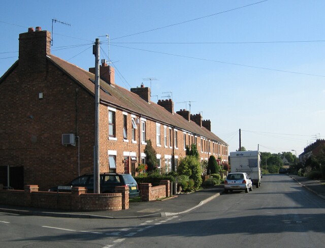
Badsey
Badsey is a village and civil parish in the Wychavon district of Worcestershire, England. It has two parks and a small first school located in the centre...

The Fleece Inn
The Fleece Inn is a pub in Bretforton, in the Vale of Evesham, Worcestershire, England: the half-timbered building, over six hundred years old, has been...
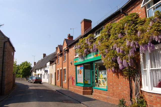
Bretforton
Bretforton is a rural village in Worcestershire, England, 4.4 miles (7.1 km) east of Evesham, in the Vale of Evesham. It is the largest farming village...
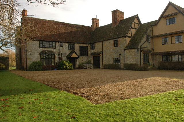
Wickhamford Manor
Wickhamford Manor, Wickhamford, Worcestershire is a manor house dating from the 16th century. It was the childhood home of James Lees-Milne, the writer...

Blackminster
Blackminster is a Hamlet in Worcestershire, England. Features include a large middle school, haulage and horticultural produce companies. Littleton and...

Littleton and Badsey railway station
Littleton and Badsey railway station was a station on the Great Western Railway's Oxford, Worcester and Wolverhampton line, near the town of Evesham, Worcestershire...
Aldington, Worcestershire
Aldington is a village and civil parish in the Wychavon district of Worcestershire, England. It is about three miles east of Evesham, and according to...

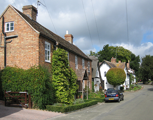
Wickhamford
Wickhamford is a village and a civil parish in Worcestershire, England. It is situated on the A44 road approximately halfway between the towns of Evesham...
Nearby Amenities
Located within 500m of 52.087445,-1.8842632Have you been to Badsey Field?
Leave your review of Badsey Field below (or comments, questions and feedback).