Burhill Kiln Allotment
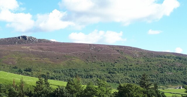
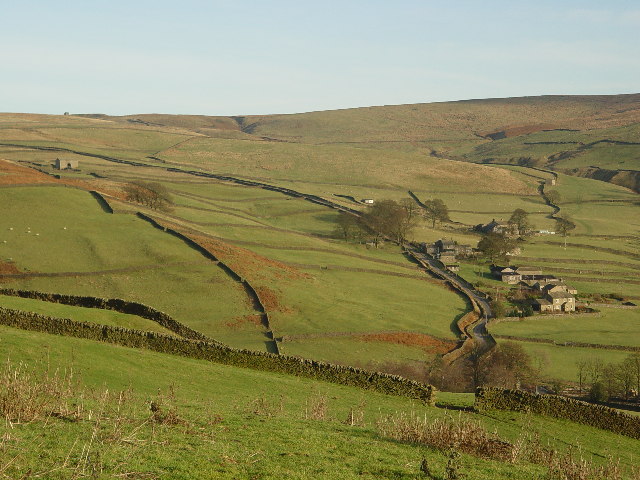
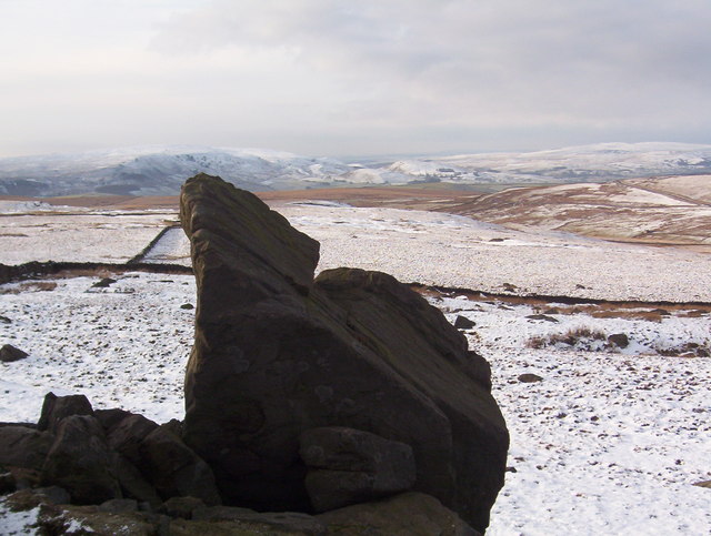
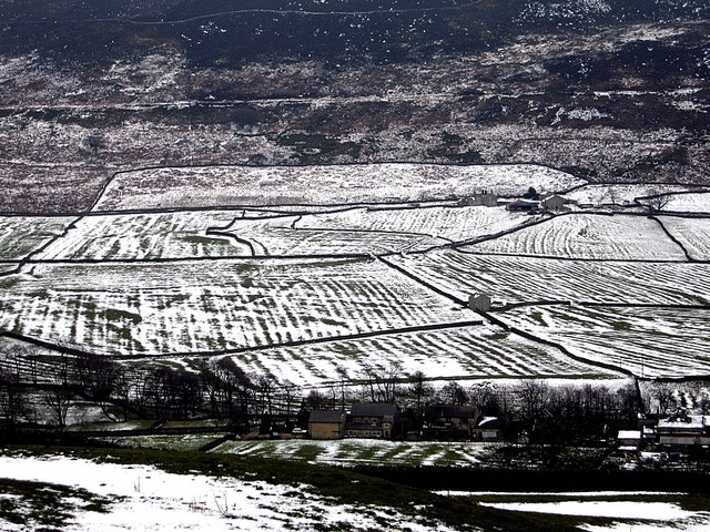
Downs, Moorland in Yorkshire Craven
England
Burhill Kiln Allotment
Burhill Kiln Allotment is a charming and picturesque piece of land located in the heart of Yorkshire, amidst the beautiful surroundings of the Downs and Moorland. Spanning over several acres, this allotment offers a haven for gardening enthusiasts and nature lovers alike.
The allotment is well-known for its fertile soil, which is ideal for cultivating a wide variety of plants, vegetables, and flowers. The land is meticulously maintained, with neatly divided plots and well-defined pathways, creating a sense of order and tranquility within the allotment.
Visitors to Burhill Kiln Allotment can expect to be greeted by a vibrant and colorful display of flora throughout the year. From blooming roses and tulips in the spring to sunflowers and dahlias in the summer, the allotment showcases nature's beauty in every season.
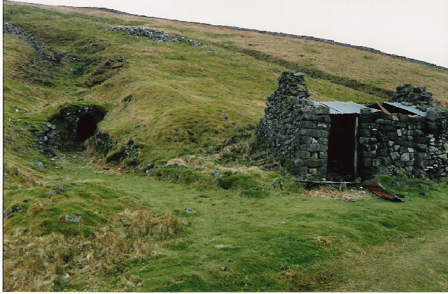
The allotment also boasts a range of amenities to facilitate gardening activities. There is a communal shed where members can store their tools and equipment, as well as a water source for irrigation purposes. Additionally, a small seating area provides a space for relaxation and socializing, allowing members to connect and exchange gardening tips and advice.
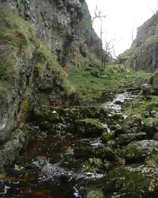
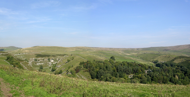
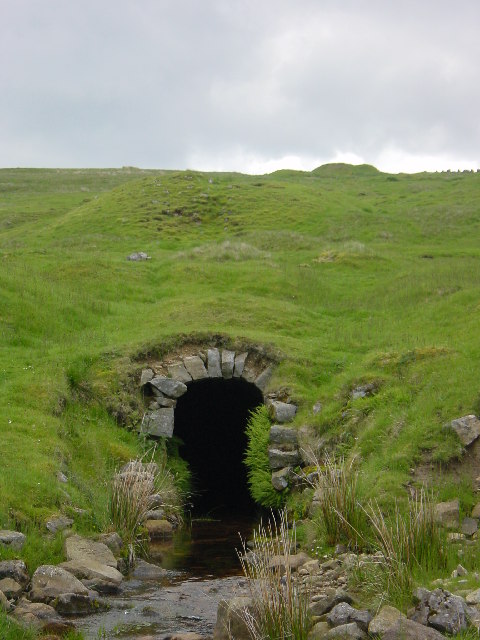
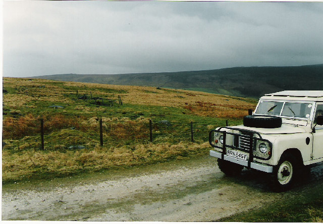
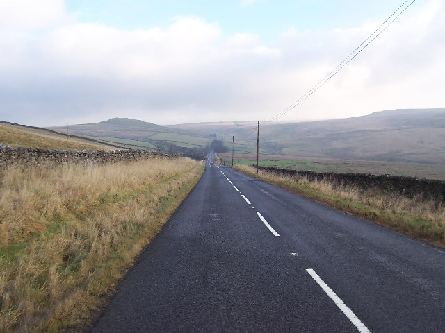
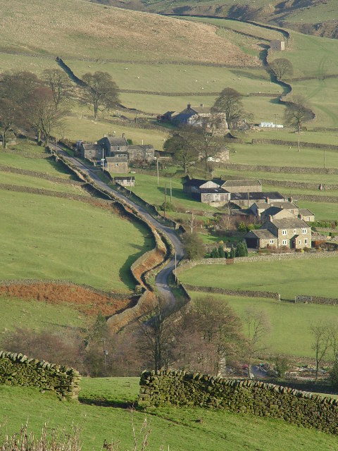
The location of Burhill Kiln Allotment is another highlight of this community. Situated amidst the Yorkshire Downs and Moorland, it offers breathtaking views of rolling hills and open countryside. This serene and idyllic setting creates a peaceful atmosphere, making it a perfect retreat from the bustling city life.
Overall, Burhill Kiln Allotment in Yorkshire is a haven for gardening enthusiasts, offering fertile land, stunning views, and a sense of community. Whether one is an experienced gardener or a beginner, this allotment provides an opportunity to connect with nature and indulge in the joys of horticulture.
If you have any feedback on the listing, please let us know in the comments section below.
Burhill Kiln Allotment Images
Images are sourced within 2km of 54.051973/-1.8789468 or Grid Reference SE0861. Thanks to Geograph Open Source API. All images are credited.


Burhill Kiln Allotment is located at Grid Ref: SE0861 (Lat: 54.051973, Lng: -1.8789468)
Division: West Riding
Administrative County: North Yorkshire
District: Craven
Police Authority: North Yorkshire
What 3 Words
///pimples.decking.soaps. Near Grassington, North Yorkshire
Nearby Locations
Related Wikis

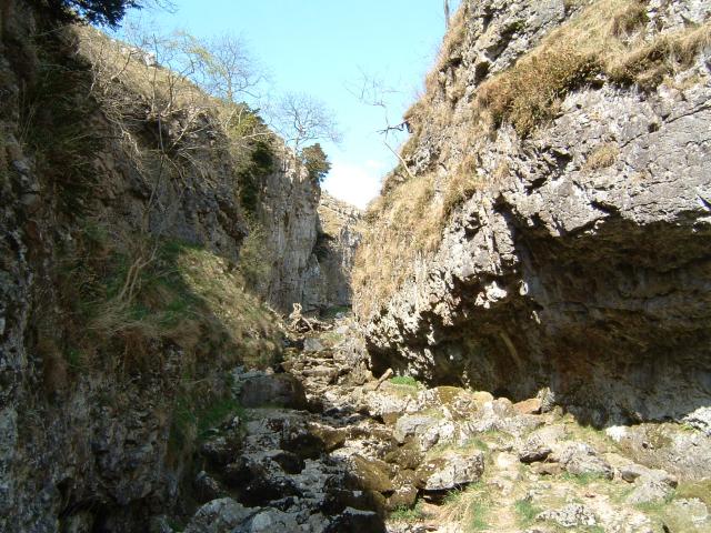
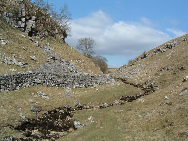
Trollers Gill
Trollers Gill is a limestone gill or gorge in North Yorkshire, England, close to the village of Skyreholme and 4.7 miles (7.5 km) south-east of Grassington...

Parcevall Hall
Parcevall Hall -- also known as Parceval Hall -- and its gardens are located at Skyreholme near Appletreewick village, Wharfedale, North Yorkshire, England...

Skyreholme
Skyreholme is a hamlet in Wharfedale in the Yorkshire Dales, North Yorkshire, England. It lies 1-mile (1.6 km) east of Appletreewick, in the small side...

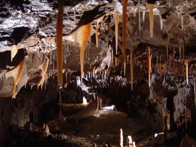
Stump Cross Caverns
Stump Cross Caverns is a limestone cave system between Wharfedale and Nidderdale in North Yorkshire, England. == Geography == The caverns at Stump Cross...

Simon's Seat
Simon's Seat is a peak in the Yorkshire Dales in northern England. It is a prominent outcrop of millstone grit on the eastern side of Wharfedale. Although...
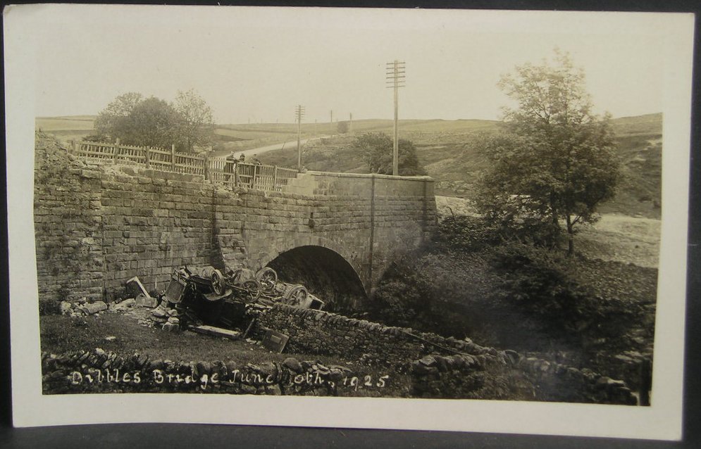
1925 Dibbles Bridge coach crash
On 10 June 1925, a coach crashed at the bottom of a steep hill at Dibbles Bridge, near Hebden in North Yorkshire, England. Seven people were killed and...

1975 Dibbles Bridge coach crash
On 27 May 1975, a coach carrying elderly passengers crashed at the bottom of a steep hill at Dibble's Bridge, near Hebden in North Yorkshire, England....

Appletreewick
Appletreewick is a village and civil parish in the Craven district of North Yorkshire, England, 6.5 miles (10.5 km) north-east of Skipton, 7 miles (11...
Nearby Amenities
Located within 500m of 54.051973,-1.8789468Have you been to Burhill Kiln Allotment?
Leave your review of Burhill Kiln Allotment below (or comments, questions and feedback).