Belly Flats
Downs, Moorland in Northumberland
England
Belly Flats
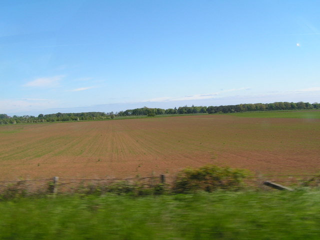
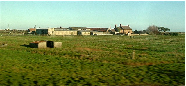
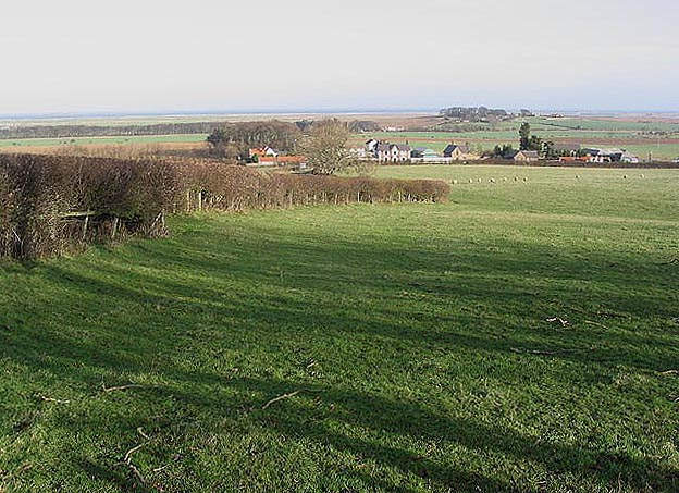
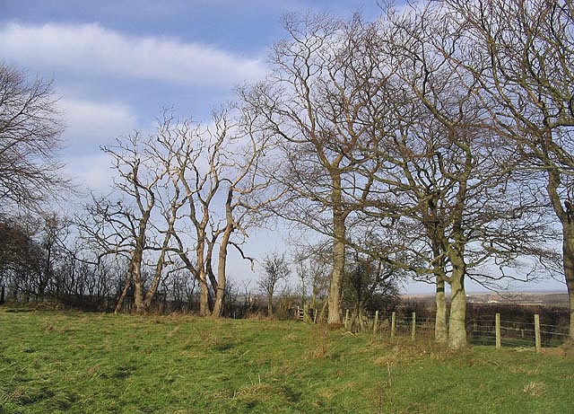
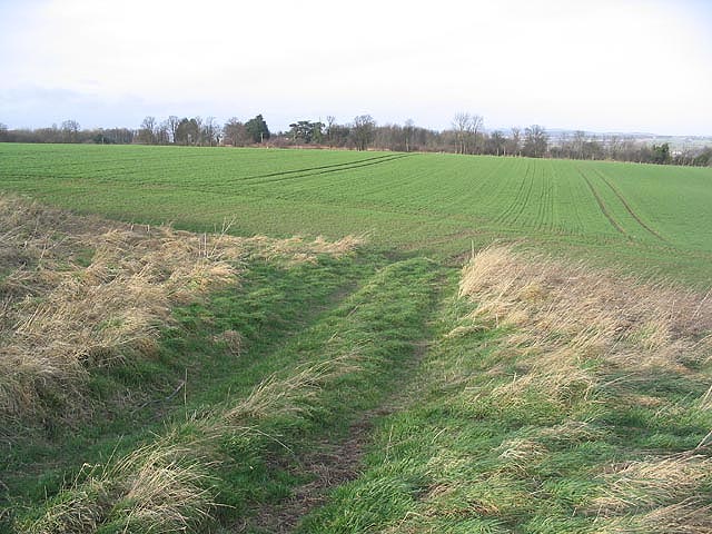
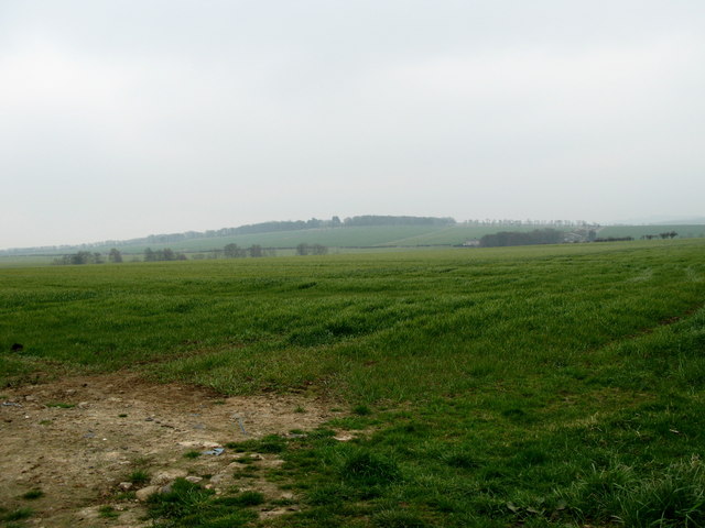
Belly Flats is a picturesque region located in the county of Northumberland, England. It is renowned for its stunning landscapes, encompassing both downs and moorland. The area is characterized by vast expanses of rolling hills, adorned with vibrant green fields and scattered with clusters of wildflowers. With its serene and untouched natural beauty, Belly Flats is a haven for nature lovers and outdoor enthusiasts alike.
The downs in Belly Flats offer breathtaking views of the surrounding countryside, with their gentle slopes and lush grasslands. These areas are ideal for leisurely walks, picnics, and even horseback riding. Visitors can immerse themselves in the tranquility of the downs, taking in the sights and sounds of nature while enjoying the fresh air.
The moorland in Belly Flats is equally captivating, with its rugged terrain and heather-clad hills. This area is famous for its rich biodiversity, attracting a wide range of wildlife. Birdwatchers can spot various species, including merlins and curlews, while nature enthusiasts may stumble upon rabbits, foxes, and even deer during their explorations.
Belly Flats is also home to several walking trails, allowing visitors to explore the region's natural wonders at their own pace. From gentle strolls to more challenging hikes, there is something for everyone to enjoy. The trails showcase the diverse landscapes of Belly Flats, from open fields to dense woodlands, ensuring a unique and memorable experience for all who visit.
Overall, Belly Flats in Northumberland is a hidden gem for those seeking a peaceful retreat in the heart of nature. Its downs and moorland provide a haven of natural beauty and offer a range of outdoor activities, making it an ideal destination for adventurers and nature enthusiasts.
If you have any feedback on the listing, please let us know in the comments section below.
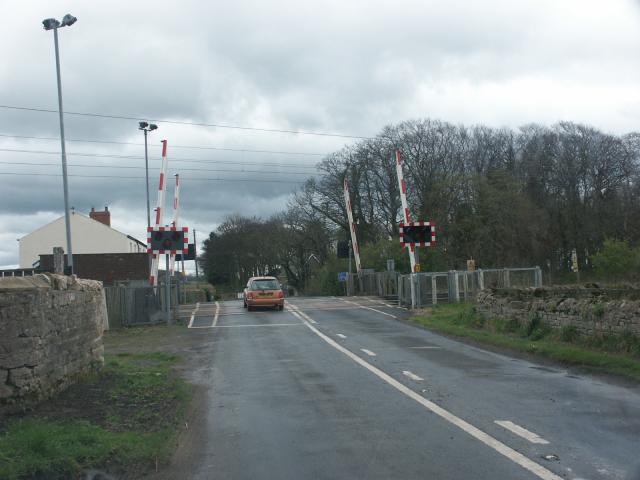
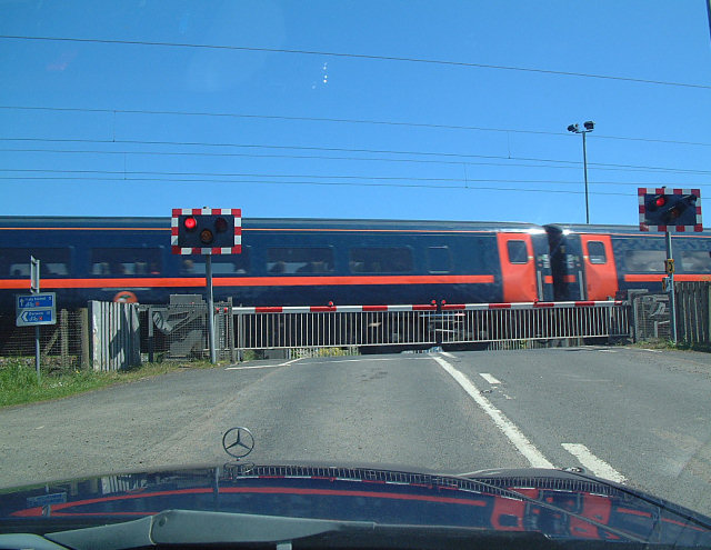
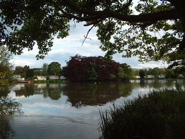
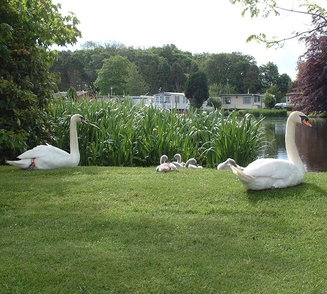
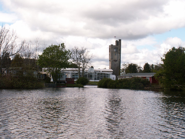
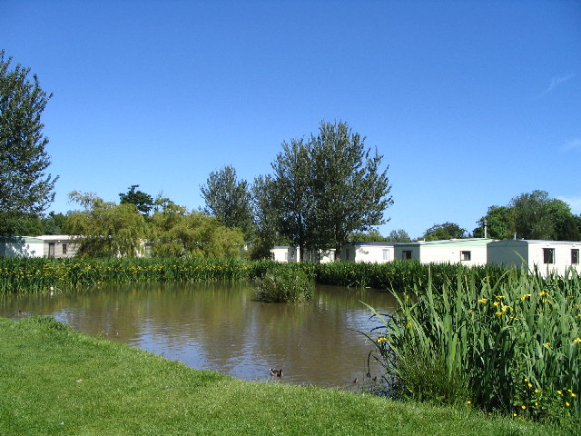
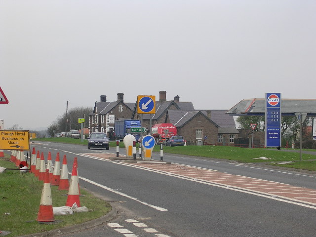
Belly Flats Images
Images are sourced within 2km of 55.682205/-1.9209667 or Grid Reference NU0543. Thanks to Geograph Open Source API. All images are credited.


Belly Flats is located at Grid Ref: NU0543 (Lat: 55.682205, Lng: -1.9209667)
Unitary Authority: Northumberland
Police Authority: Northumbria
What 3 Words
///contemplate.joys.pinch. Near Lowick, Northumberland
Nearby Locations
Related Wikis

Haggerston Castle
Haggerston Castle was a castle located in the county of Northumberland, England at Haggerston about 5 miles (8 km) south of Berwick-upon-Tweed. Only the...

Haggerston, Northumberland
Haggerston is a hamlet located in the county of Northumberland, England about 5 miles (8 km) south of Berwick-upon-Tweed and adjacent to the A1 road. Historically...
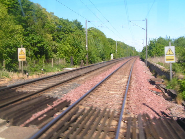
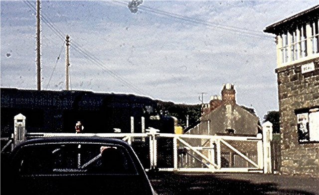
Beal railway station
Beal railway station, also known as Beal for Holy Island railway station, was a railway station that served the village of Beal, Northumberland, England...

Beal, Northumberland
Beal is a village in Northumberland, in England. It is situated a short distance inland from the North Sea coast, and lies on the link road between the...

Goswick
Goswick () is a hamlet in Northumberland, England, situated approximately south-east of Berwick-upon-Tweed, England, between the A1 and the North Sea coast...
Goswick rail crash
The Goswick rail crash occurred on 26 October 1947 near the village of Goswick, Northumberland, England. The Flying Scotsman express from Edinburgh Waverley...

Goswick railway station
Goswick railway station served the hamlet of Goswick, Northumberland, England from 1870 to 1964 on the East Coast Main Line. == History == The station...
Fenwick, Kyloe
Fenwick is a small hamlet in the civil parish of Kyloe near Berwick-upon-Tweed and has a population of approx 400. Fenwick lies only three miles from Holy...
Have you been to Belly Flats?
Leave your review of Belly Flats below (or comments, questions and feedback).