Lower Farm Down
Downs, Moorland in Wiltshire
England
Lower Farm Down

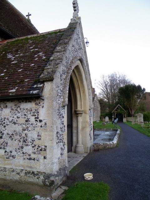
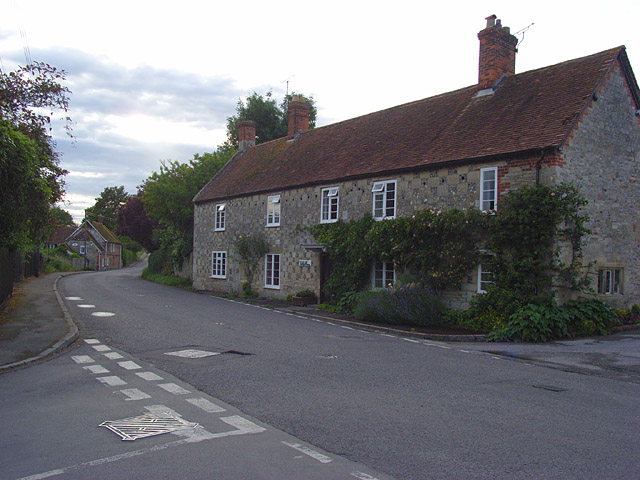
Lower Farm Down is a picturesque area located in Wiltshire, England. It is situated amidst the stunning Downs and Moorland landscapes, offering visitors a unique and diverse natural environment. With its rolling hills, wide-open spaces, and lush greenery, Lower Farm Down is a haven for nature lovers and outdoor enthusiasts.
The area is known for its rich biodiversity, with a variety of plant and animal species calling it home. Visitors can expect to encounter an array of wildlife, including birds, butterflies, and small mammals, as they explore the area's walking trails and paths. The stunning views of the surrounding countryside make it a popular spot for photography and picnicking.
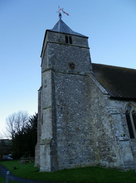
Lower Farm Down is also steeped in history, with evidence of human occupation dating back thousands of years. Archaeological sites in the area provide insights into the lives of past civilizations, including ancient burial mounds and remnants of settlements. History enthusiasts can explore these sites and gain a deeper understanding of the area's cultural heritage.
The peaceful and tranquil atmosphere of Lower Farm Down makes it an ideal destination for those seeking a break from the hustle and bustle of city life. Visitors can take leisurely walks, enjoy a picnic, or simply relax and soak in the beauty of the natural surroundings. The area is easily accessible by car and offers ample parking facilities for convenience.
In summary, Lower Farm Down in Wiltshire is a breathtaking location that offers a blend of natural beauty and historical significance. With its diverse landscapes, abundant wildlife, and peaceful ambiance, it is a perfect destination for nature lovers and history enthusiasts alike.
If you have any feedback on the listing, please let us know in the comments section below.
Lower Farm Down Images
Images are sourced within 2km of 51.121442/-1.9381251 or Grid Reference SU0435. Thanks to Geograph Open Source API. All images are credited.


Lower Farm Down is located at Grid Ref: SU0435 (Lat: 51.121442, Lng: -1.9381251)
Unitary Authority: Wiltshire
Police Authority: Wiltshire
What 3 Words
///eradicate.acrobat.rescuer. Near Stapleford, Wiltshire
Nearby Locations
Related Wikis

Grovely Castle
Grovely Castle is the site of an Iron Age univallate hill fort in the parish of Steeple Langford, in Wiltshire, England. The remaining ramparts stand approximately...
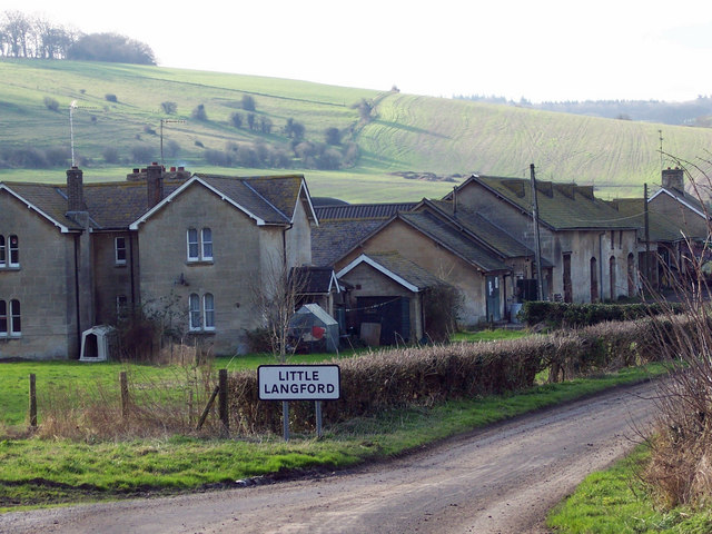
Little Langford
Little Langford is a hamlet and former civil parish, now in the parish of Steeple Langford, in Wiltshire, England. Its nearest town is Wilton, about 5...

Ebsbury Down
Ebsbury Down (grid reference SU054352) is a 132-acre (53 ha) biological Site of Special Scientific Interest in Wiltshire, England, notified in 1975. It...

Grovely Wood
Grovely Wood is one of the largest woodlands in southern Wiltshire, England. It stands on a chalk ridge above the River Wylye in Barford St Martin parish...
Steeple Langford
Steeple Langford is a village and civil parish in the English county of Wiltshire, 6 miles (10 km) northwest of Wilton. It has also been called Great Langford...

Ebsbury
The site of Ebsbury, in Wiltshire, England, includes the remains of an Iron Age enclosed settlement, field system and possible hill fort, and a Romano...
Baverstock Juniper Bank
Baverstock Juniper Bank (grid reference SU035336) is a 2.6 hectare Biological Site of Special Scientific Interest to the north of the village of Baverstock...

River Till, Wiltshire
The River Till rises near Tilshead on Salisbury Plain in the English county of Wiltshire. It flows for about 14 km (9 miles) south and south-east, through...
Nearby Amenities
Located within 500m of 51.121442,-1.9381251Have you been to Lower Farm Down?
Leave your review of Lower Farm Down below (or comments, questions and feedback).