Coal Pit Moor

Downs, Moorland in Yorkshire Richmondshire

England

Coal Pit Moor

Disused tips and shafts High Moss above Glead Gill. There is a Boundary stone named Snowdon Man. As well as being a parish boundary it forms the Southern Boundary of the Yorkshire Dales N.P.
Disused tips and shafts Credit: Colin Gregory

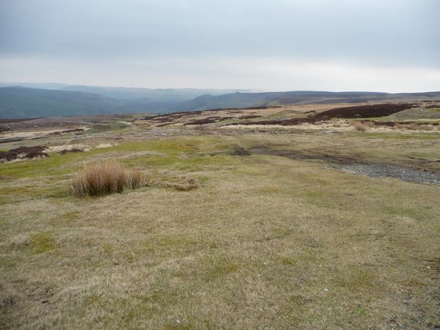
Coal Pit Moor is a vast expanse of moorland located in Yorkshire, England. Situated in the heart of the Yorkshire Dales National Park, it is renowned for its rugged beauty, rolling hills, and breathtaking views. Covering an area of approximately 2,000 acres, Coal Pit Moor is an important part of the local landscape and provides a valuable habitat for various wildlife species.

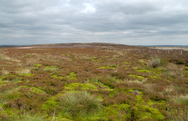
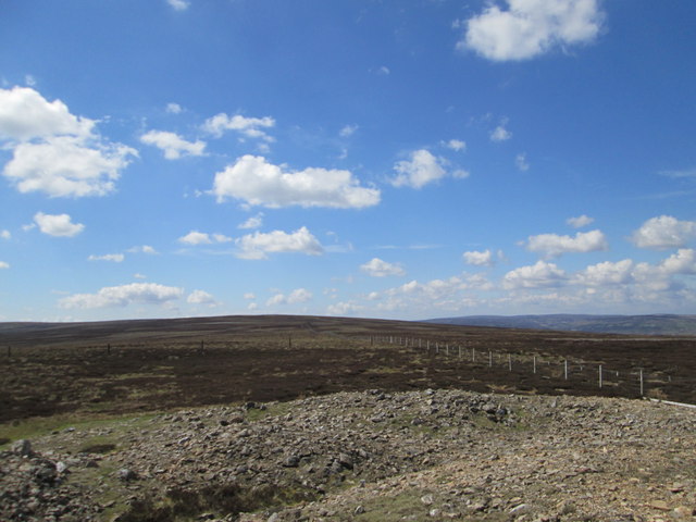
The moorland is characterized by its open, heather-covered terrain, interspersed with patches of grassland and scattered trees. The heather blooms in a stunning array of purple hues during the summer months, creating a picturesque landscape that attracts photographers, hikers, and nature enthusiasts alike.

Coal Pit Moor is home to a diverse range of wildlife, including several bird species such as curlews, lapwings, and golden plovers. These birds nest on the moor and their distinctive calls can often be heard echoing across the landscape. The moorland also supports a population of red grouse, which are a common sight during the shooting season.

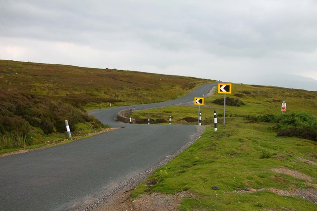
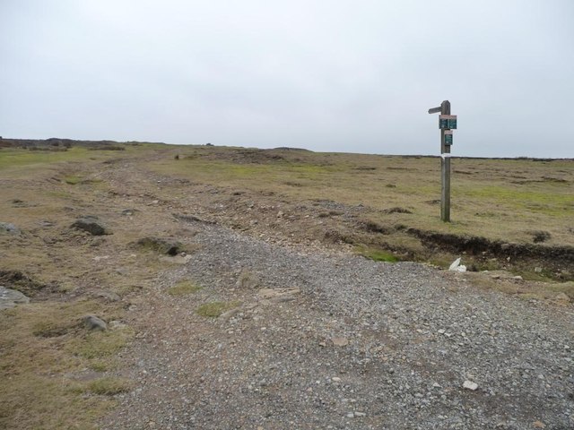
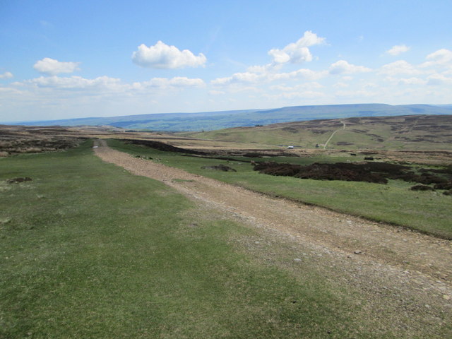
Visitors to Coal Pit Moor can explore the area on foot, following a network of well-maintained walking trails that crisscross the moor. These paths offer stunning views of the surrounding countryside, with the distant peaks of the Yorkshire Dales forming a dramatic backdrop.

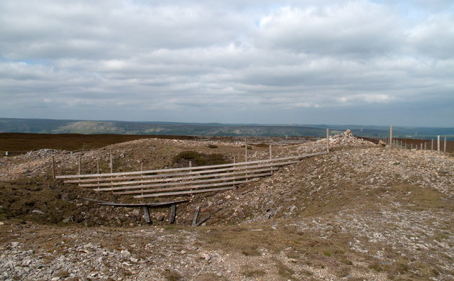
In addition to its natural beauty, Coal Pit Moor has historical significance, with evidence of prehistoric settlements and ancient burial grounds found in the vicinity. The moorland provides a fascinating glimpse into the region's past and is a place of both natural and cultural importance.

If you have any feedback on the listing, please let us know in the comments section below.

Coal Pit Moor Images

Images are sourced within 2km of 54.355248/-1.9332349 or Grid Reference SE0495. Thanks to Geograph Open Source API. All images are credited.

Disused tips and shafts High Moss above Glead Gill. There is a Boundary stone named Snowdon Man. As well as being a parish boundary it forms the Southern Boundary of the Yorkshire Dales N.P.
Disused tips and shafts
High Moss above Glead Gill. There is a Boundary stone named Snowdon Man. As well as being a parish boundary it forms the Southern Boundary of the Yorkshire Dales N.P.
Fence and wall on Height of Brownseat Height of Brownseat sounds like the name of this moorland high point but is actually a named boundary stone, not seen here, it's on the other (north) side of the wall. The electric fence (solar powered), was put in place when the wall was ruinous; it has since been partly rebuilt.
Fence and wall on Height of Brownseat
Height of Brownseat sounds like the name of this moorland high point but is actually a named boundary stone, not seen here, it's on the other (north) side of the wall. The electric fence (solar powered), was put in place when the wall was ruinous; it has since been partly rebuilt.
Greets Moss Vivid green domes of polytrichum moss species dominate this view eastwards across Greets Moss on the Swaledale/Wensleydale watershed.
Greets Moss
Vivid green domes of polytrichum moss species dominate this view eastwards across Greets Moss on the Swaledale/Wensleydale watershed.
Disturbed ground on Height of Greets Height of Greets, (Greets Hill on OS Landraner 98), is a local high point at a little over 500m on the Swaledale/Wensleydale watershed. There has been much metal mining activity in the surrounding valleys and the disturbance to the ground seen here is also due to minor scale mine workings. The view is to the north, over Swaledale.
Disturbed ground on Height of Greets
Height of Greets, (Greets Hill on OS Landraner 98), is a local high point at a little over 500m on the Swaledale/Wensleydale watershed. There has been much metal mining activity in the surrounding valleys and the disturbance to the ground seen here is also due to minor scale mine workings. The view is to the north, over Swaledale.
The road to Leyburn
The road to Leyburn
Cattle grid on Cogden Moor
Tree on Cogden Moor
Tree on Cogden Moor
Road to Reeth
Road to Reeth
Once an industrial route, now a leisure path Footpath through disused lead workings, leading to High Moss.
Once an industrial route, now a leisure path
Footpath through disused lead workings, leading to High Moss.
Old Stork Lead Vein Former lead mining area on Ellerton Moor above Swaledale.
Old Stork Lead Vein
Former lead mining area on Ellerton Moor above Swaledale.
High Moss High Moss on Grinton Moor.
High Moss
High Moss on Grinton Moor.
Apedale Looking SE across Apedale.
Apedale
Looking SE across Apedale.
Greets Hill Looking NW.
Greets Hill
Looking NW.
Disturbed Ground On Greets Hill, resulting from years of the lead extraction activities.
Disturbed Ground
On Greets Hill, resulting from years of the lead extraction activities.
Grouse Butt, Greets Hill
Approaching Dent's Houses
Stream with a Strange Rock The foreground rock in the stream is interesting. I didn't think it was a lump of concrete but it contains what looks like mountain bike tracks in it.

The rock and stream is many metres away from the nearest track. It is near an indistinct Public Footpath.

Any suggestions to clear the mystery appreciated.

Robin Webster suggests the following (<a title="https://www.geograph.org.uk/discuss/index.php?&action=vthread&forum=2&topic=21695&dontcount=1&page=14#23" href="https://www.geograph.org.uk/discuss/index.php?&action=vthread&forum=2&topic=21695&dontcount=1&page=14#23">Link</a> ).

"My bet is on a fossilized coral or similar. The holes appear to be at the end of tubes packed in a square formation. The tube structure can be seen at the bottom of the rock for the edge holes to the left, and what look like strata off to the left halfway up may be sections through lengthy tubes.
Although the geology is largely millstone grit, there is a seam of Crow Limestone locally, according to the Geology of Britain map. This states 'These rocks were formed in warm shallow seas with carbonate deposited on platform, shelf and slope areas; often rich in corals and shelly faunas'."
Stream with a Strange Rock
The foreground rock in the stream is interesting. I didn't think it was a lump of concrete but it contains what looks like mountain bike tracks in it. The rock and stream is many metres away from the nearest track. It is near an indistinct Public Footpath. Any suggestions to clear the mystery appreciated. Robin Webster suggests the following (Link ). "My bet is on a fossilized coral or similar. The holes appear to be at the end of tubes packed in a square formation. The tube structure can be seen at the bottom of the rock for the edge holes to the left, and what look like strata off to the left halfway up may be sections through lengthy tubes. Although the geology is largely millstone grit, there is a seam of Crow Limestone locally, according to the Geology of Britain map. This states 'These rocks were formed in warm shallow seas with carbonate deposited on platform, shelf and slope areas; often rich in corals and shelly faunas'."
Grinton How Lead Mining Area Sterile ground resulting from years of lead mining activities.
Grinton How Lead Mining Area
Sterile ground resulting from years of lead mining activities.
Show me another place!

Coal Pit Moor is located at Grid Ref: SE0495 (Lat: 54.355248, Lng: -1.9332349)

Division: North Riding

Administrative County: North Yorkshire

District: Richmondshire

Police Authority: North Yorkshire

What 3 Words

///unsigned.evidence.quality. Near Leyburn, North Yorkshire

Nearby Locations

Coal Pit Moor

Related Wikis

Grinton Smelt Mill

Grinton Smelt Mill (also known as How Mill) is a ruined lead mining and processing site on Cogden Moor, south of Grinton in Swaledale, North Yorkshire...
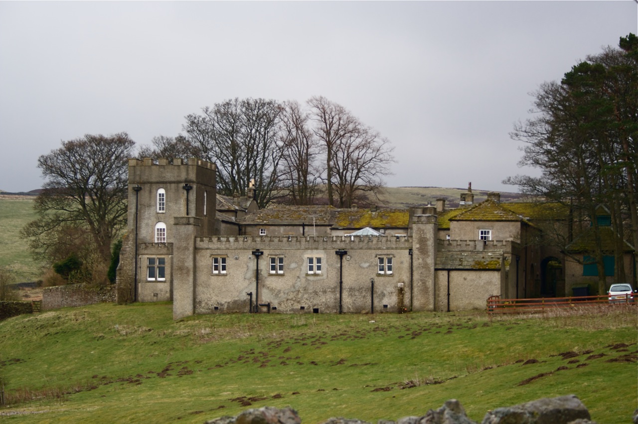
Grinton Lodge

Grinton Lodge is a 19th-century former shooting lodge that has been a youth hostel since 1948. A Grade II listed building, it is situated above the village...

Ellerton Abbey

Ellerton Abbey is a civil parish in the Richmondshire district of North Yorkshire, England. It is located on the River Swale in lower Swaledale, 6 miles...

Grinton

Grinton is a small village and civil parish in the Yorkshire Dales, North Yorkshire, England. Close to Reeth and Fremington, it lies 9 miles (15 km) west...

Nearby Amenities

Located within 500m of 54.355248,-1.9332349
Coal Pit Moor
Historic: mine
Mineral: coal
Source: NPE
Lat/Long: 54.3554118/-1.933239
Hunting Stand
Hunting Stand: grouse_butt
Source: gps survey
Lat/Long: 54.359072/-1.932352
Hunting Stand
Hunting Stand: grouse_butt
Source: gps survey
Lat/Long: 54.3587371/-1.9323824
Hunting Stand
Hunting Stand: grouse_butt
Source: gps survey
Lat/Long: 54.357896/-1.932446
Hunting Stand
Hunting Stand: grouse_butt
Source: gps survey
Lat/Long: 54.3574698/-1.932468
Hunting Stand
Hunting Stand: grouse_butt
Source: gps survey
Lat/Long: 54.3570363/-1.9324754
Hunting Stand
Hunting Stand: grouse_butt
Source: gps survey
Lat/Long: 54.3544391/-1.9326376
Hunting Stand
Hunting Stand: grouse_butt
Lat/Long: 54.3594556/-1.9323714
Hunting Stand
Hunting Stand: grouse_butt
Lat/Long: 54.3583194/-1.9324026
Hunting Stand
Hunting Stand: grouse_butt
Lat/Long: 54.3566196/-1.9325022
Hunting Stand
Hunting Stand: grouse_butt
Lat/Long: 54.3561913/-1.9325353
Hunting Stand
Hunting Stand: grouse_butt
Lat/Long: 54.3557747/-1.9325568
Hunting Stand
Hunting Stand: grouse_butt
Lat/Long: 54.3553276/-1.9325845
Hunting Stand
Hunting Stand: grouse_butt
Lat/Long: 54.3549174/-1.9326145
The data included in this document is from www.openstreetmap.org. The data is made available under ODbL.

Have you been to Coal Pit Moor?

Leave your review of Coal Pit Moor below (or comments, questions and feedback).