Bokerley Down
Downs, Moorland in Dorset
England
Bokerley Down
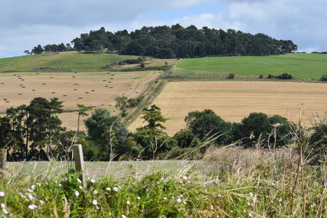
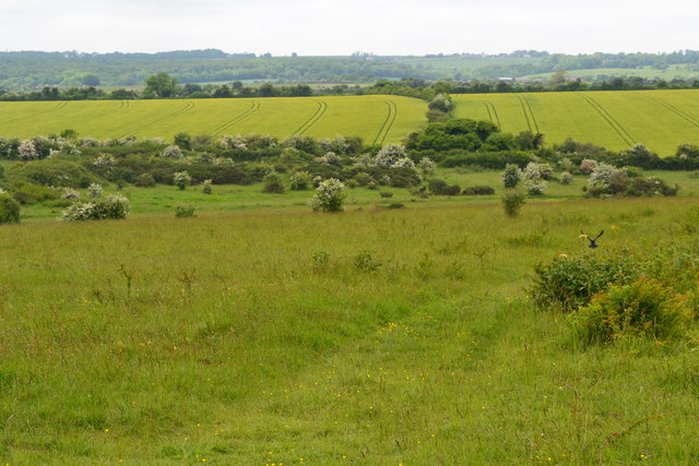
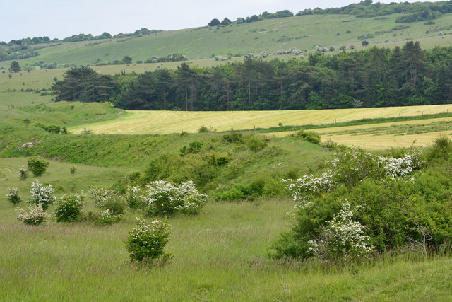
Bokerley Down is a prominent landmark located in the county of Dorset, England. It is situated between the towns of Blandford Forum and Ringwood and covers an expansive area of approximately 600 acres. Bokerley Down is part of the Cranborne Chase and West Wiltshire Downs Area of Outstanding Natural Beauty, renowned for its stunning landscapes and rich biodiversity.
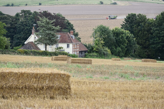
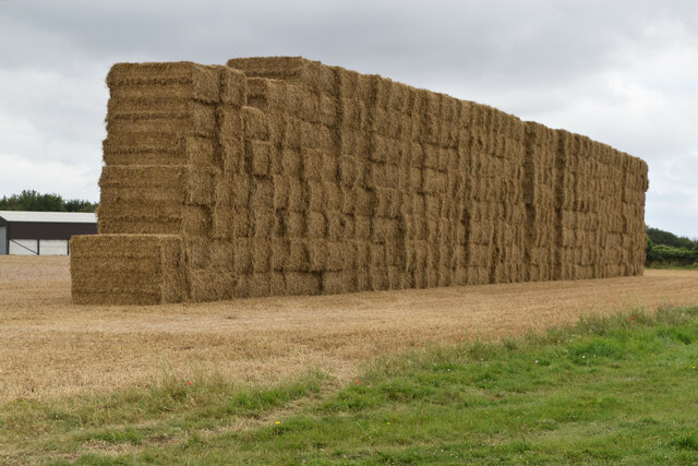
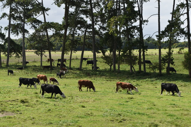
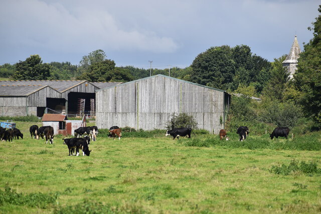
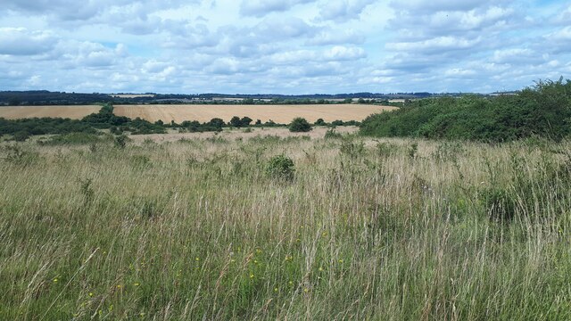
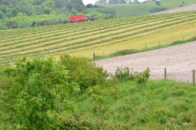
The Down is characterized by its rolling hills, vast open spaces, and breathtaking panoramic views. It consists of a mix of grassland, heathland, and woodland areas, creating a diverse habitat for a wide variety of plant and animal species. The site is particularly renowned for its wildflowers, including vibrant orchids and rare species such as the Marsh gentian.
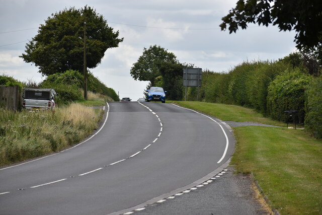
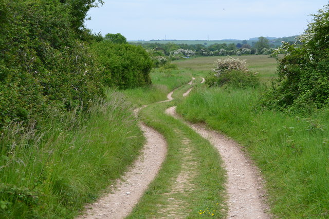
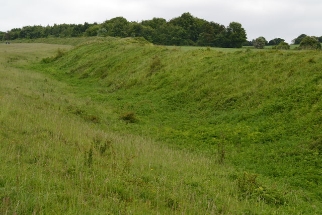
The down is intersected by the ancient Bokerley Dyke, an earthwork believed to be of Roman origin. This historical feature adds to the intrigue and cultural significance of the area. Additionally, Bokerley Down is a popular destination for hikers, nature enthusiasts, and outdoor activities such as horse riding and cycling, with numerous trails and paths crisscrossing the landscape.
The down is also home to an abundance of wildlife, including rabbits, badgers, deer, and numerous bird species. It provides an important habitat for various bird species, such as the stonechat, skylark, and kestrel. Birdwatching enthusiasts flock to Bokerley Down to observe these species in their natural environment.
Overall, Bokerley Down is a cherished natural landscape, offering visitors a tranquil escape and the opportunity to appreciate the beauty of the British countryside. Whether it's exploring the historical landmarks or immersing oneself in the diverse flora and fauna, Bokerley Down is a must-visit destination for nature lovers and history buffs alike.
If you have any feedback on the listing, please let us know in the comments section below.
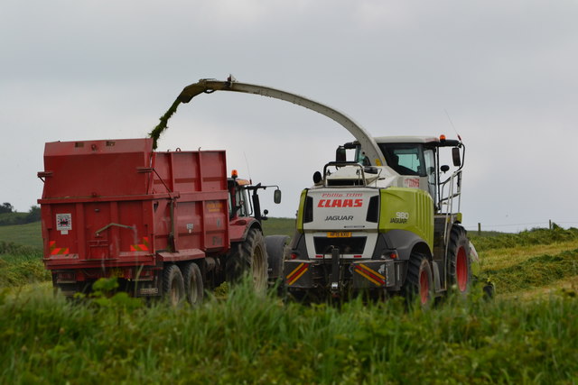
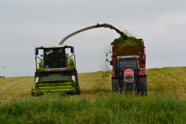
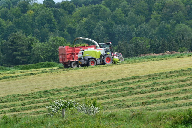
Bokerley Down Images
Images are sourced within 2km of 50.967217/-1.9383578 or Grid Reference SU0418. Thanks to Geograph Open Source API. All images are credited.
Bokerley Down is located at Grid Ref: SU0418 (Lat: 50.967217, Lng: -1.9383578)
Unitary Authority: Dorset
Police Authority: Dorset
What 3 Words
///burst.hammocks.demotion. Near Bower Chalke, Wiltshire
Nearby Locations
Related Wikis

Bokerley Dyke
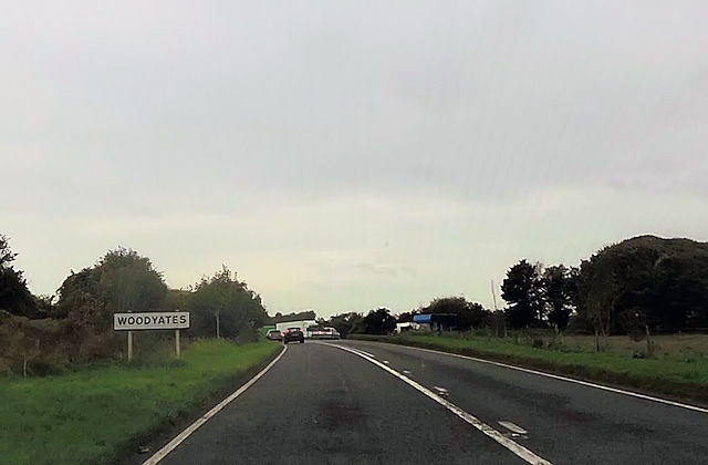
Bokerley Dyke, Bokerly Dyke, Bokerley Ditch, is a linear earthwork 5.75 kilometres (3.6 mi) long in Hampshire, between Woodyates and Martin. It is a Scheduled...

Martin and Tidpit Downs
Martin and Tidpit Downs is a 367.5-hectare (908-acre) biological Site of Special Scientific Interest north-west of Fordingbridge in Hampshire. Martin Down...

Martin Down Enclosure
The Martin Down Enclosure is an archaeological site on Martin Down, near the village of Martin, in Hampshire, England. It is near the boundaries with Dorset...

Pentridge
Pentridge is a village and former civil parish, now in the parish of Sixpenny Handley and Pentridge, in the Dorset district, in the ceremonial of Dorset...
Related Videos

WALKS IN HAMPSHIRE : MARTIN
This is the second video in my series “Walks in Hampshire” with my Whippet, Logan. In this episode, I visit the pretty village of ...

WALKS IN DORSET : Pentridge
This is another video on my series "Walks in Dorset" accompanied by my Whippet (Logan). In this episode I take a 4 mile circular ...

Martin Down
Turtle Dove.
Nearby Amenities
Located within 500m of 50.967217,-1.9383578Have you been to Bokerley Down?
Leave your review of Bokerley Down below (or comments, questions and feedback).