Middle Moor
Downs, Moorland in Derbyshire High Peak
England
Middle Moor

Middle Moor is a picturesque area located in Derbyshire, England. Situated in the heart of the Peak District National Park, it is known for its stunning downs and moorland landscapes. Covering an expansive area, Middle Moor offers a diverse range of natural features and habitats.
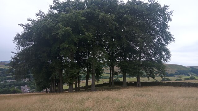
The downs of Middle Moor are characterized by gently rolling hills covered in lush grasses and heather. These open spaces provide breathtaking panoramic views of the surrounding countryside, making it a popular destination for hikers, cyclists, and nature enthusiasts. Visitors can explore the network of footpaths and trails that crisscross the downs, allowing them to fully immerse themselves in the beauty of the area.
The moorland of Middle Moor is an equally captivating sight. This rugged landscape is characterized by vast expanses of heather-covered hills and deep valleys. The moorland is home to a variety of wildlife, including birds such as grouse and curlews, as well as small mammals like rabbits and stoats. It offers a unique opportunity for visitors to observe and appreciate the natural biodiversity of the area.
Middle Moor is also dotted with charming villages and historic landmarks. Nearby, the village of Edale serves as a gateway to the moorland, offering a range of amenities for visitors. The area is also home to ancient stone circles, such as the Nine Ladies and Doll Tor, which provide a glimpse into the region's rich history.
With its stunning downs, moorland landscapes, and historical sites, Middle Moor in Derbyshire is a must-visit destination for those seeking a true taste of the British countryside.
If you have any feedback on the listing, please let us know in the comments section below.
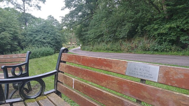
Middle Moor Images
Images are sourced within 2km of 53.392283/-1.9352415 or Grid Reference SK0488. Thanks to Geograph Open Source API. All images are credited.


Middle Moor is located at Grid Ref: SK0488 (Lat: 53.392283, Lng: -1.9352415)
Administrative County: Derbyshire
District: High Peak
Police Authority: Derbyshire
What 3 Words
///mornings.medium.grad. Near Hayfield, Derbyshire
Nearby Locations
Related Wikis
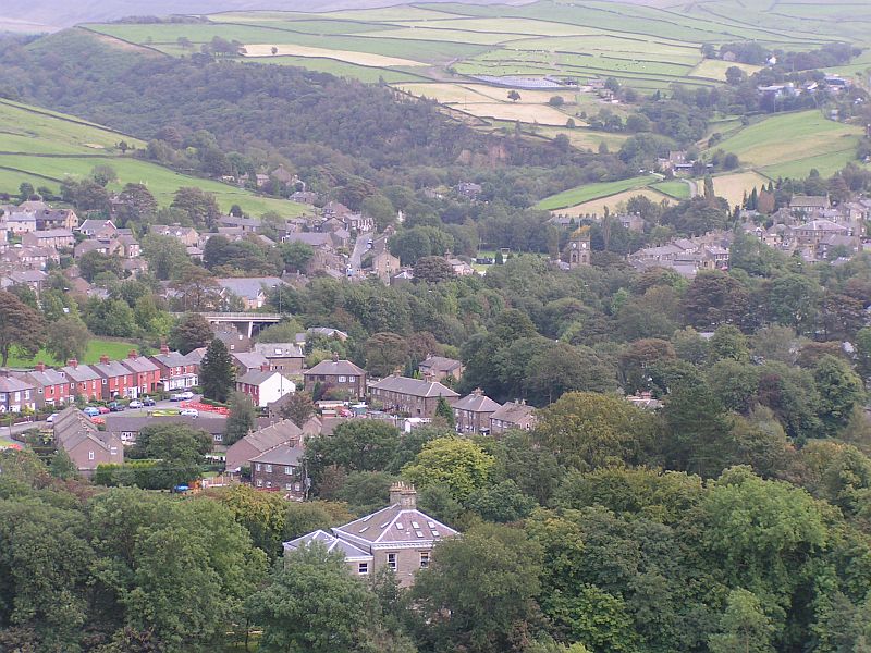
Hayfield, Derbyshire
Hayfield (SK037870) is a village and civil parish in High Peak, Derbyshire, England, with a population of around 2,700. The village is 3 miles (4.8 km...

Little Hayfield
Little Hayfield is a hamlet in the Peak District National Park, in Derbyshire, England. It lies on the A624 between Hayfield and Glossop. At the centre...

St Matthew's Church, Hayfield
St Matthew's Church, Hayfield, is the parish church of Hayfield, Derbyshire, England. The church, parts of which date from the 14th century, is a Grade...
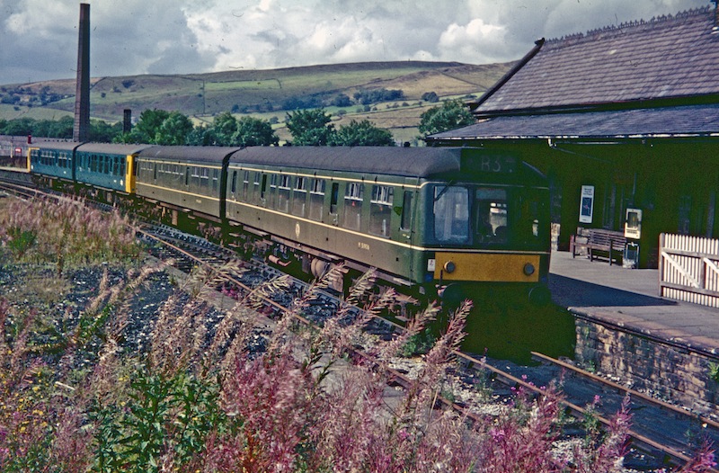
Hayfield railway station
Hayfield railway station was the terminus of the 3 mi (4.8 km) Hayfield branch from New Mills Central station in Derbyshire, England. == History == Hayfield...
Nearby Amenities
Located within 500m of 53.392283,-1.9352415Have you been to Middle Moor?
Leave your review of Middle Moor below (or comments, questions and feedback).