Angram Pasture
Downs, Moorland in Yorkshire Harrogate
England
Angram Pasture
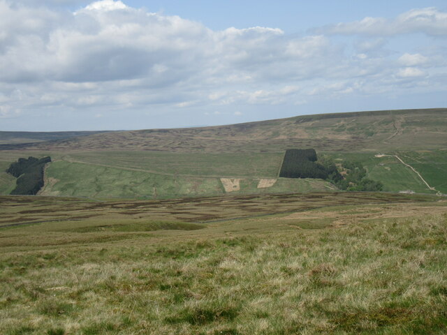
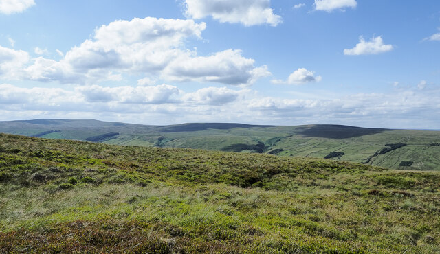
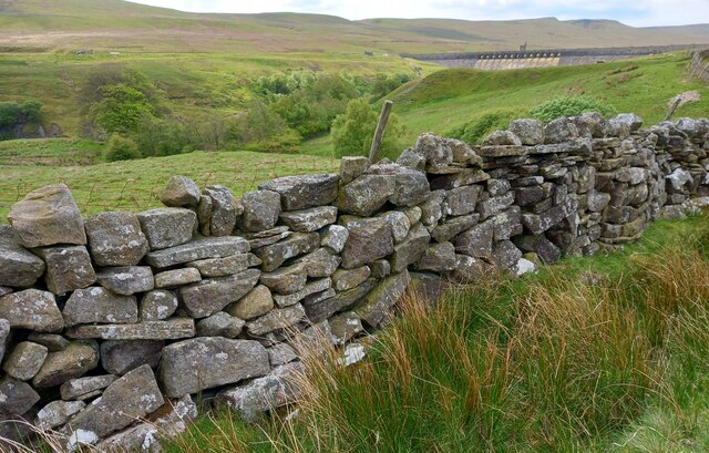
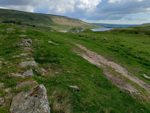
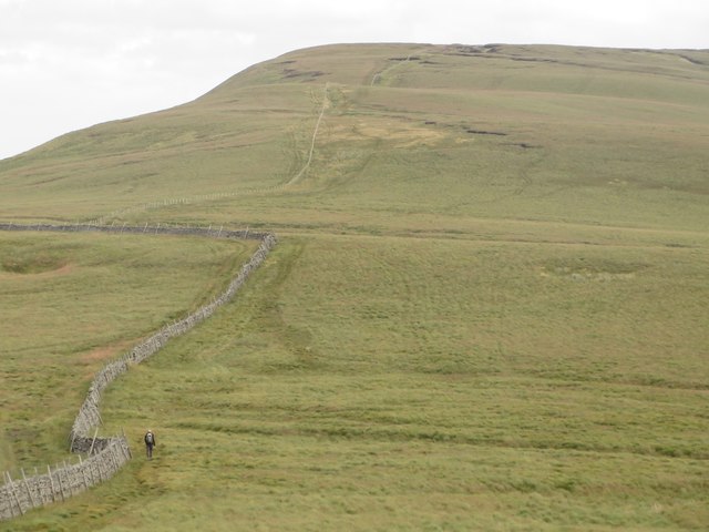
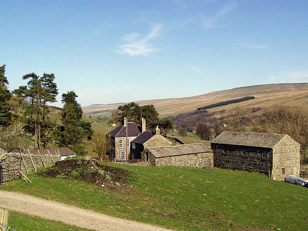
Angram Pasture, located in the picturesque region of Yorkshire, England, is a captivating landscape that showcases the natural beauty of the region. Situated amidst the Yorkshire Downs and Moorland, this vast expanse of land stretches across several miles, offering breathtaking views and a tranquil ambiance.
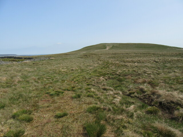
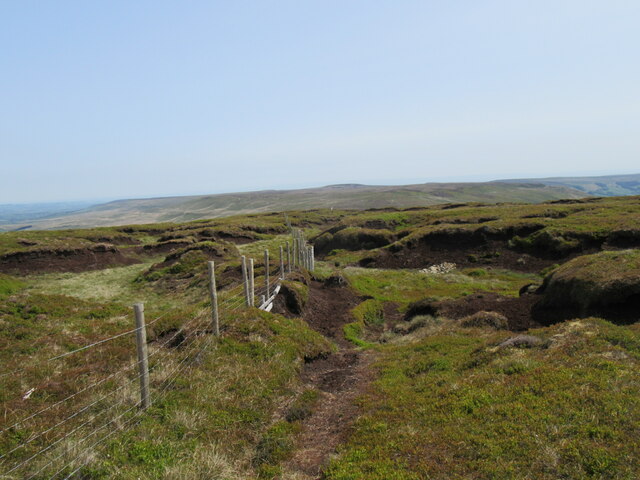
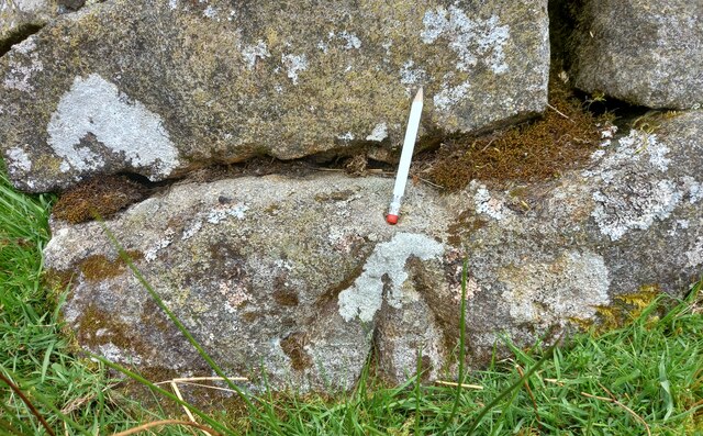
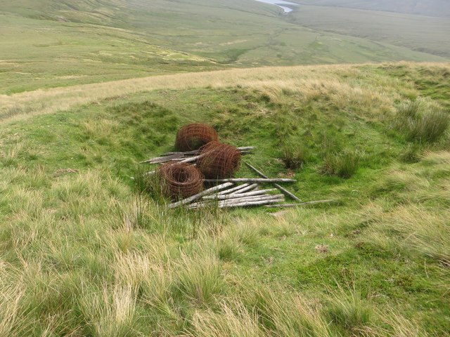
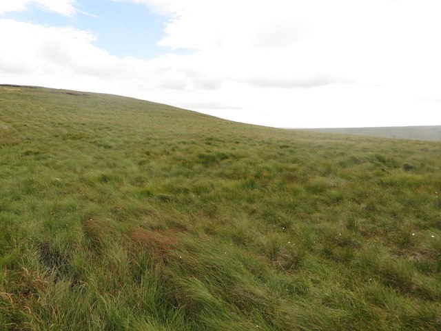
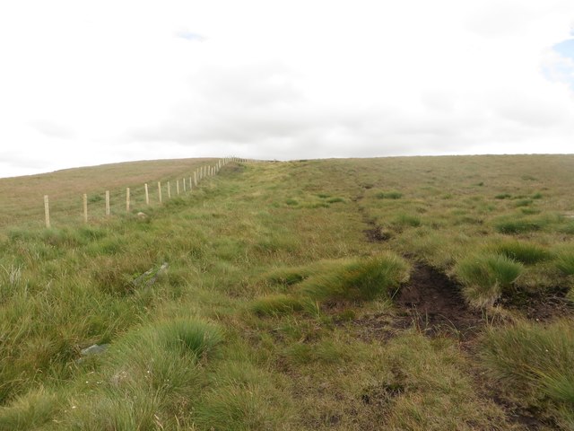
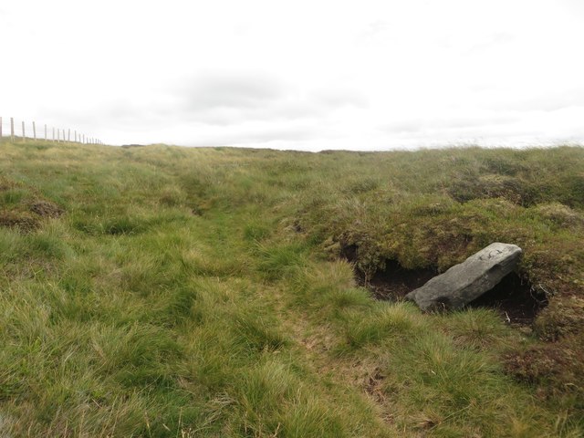
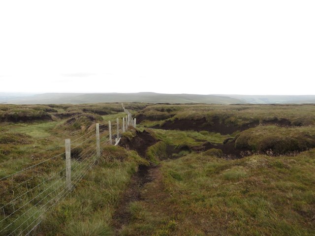
The pasture is characterized by its rolling hills, lush green meadows, and scattered patches of heather. It serves as a grazing ground for livestock, primarily sheep, and is an integral part of the local farming community. The rich soil and favorable climate make it an ideal location for the growth of various grasses and wildflowers, creating a vibrant and colorful landscape.
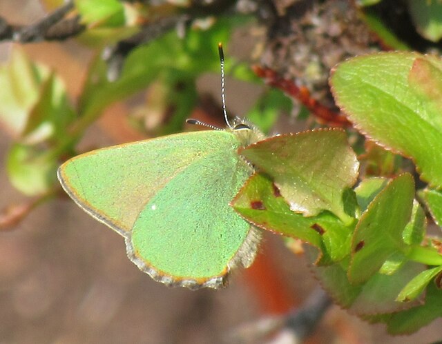
Angram Pasture is home to a diverse range of flora and fauna, making it a haven for nature enthusiasts and wildlife lovers. The open fields attract a plethora of bird species, including curlews, lapwings, and skylarks, which fill the air with their melodious songs. The moorland areas provide a habitat for unique species such as grouse and red grouse, adding to the area's ecological significance.
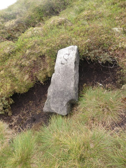
Apart from its natural beauty, Angram Pasture also holds historical importance. The remains of ancient settlements and burial mounds can be found scattered across the landscape, offering a glimpse into the area's rich cultural heritage.
Visitors to Angram Pasture can enjoy a range of recreational activities, from peaceful walks and picnics to birdwatching and photography. The vast expanse of open land allows visitors to immerse themselves in the serenity of nature and experience the true essence of the Yorkshire countryside.
Overall, Angram Pasture is a captivating destination that combines the beauty of the Yorkshire Downs, Moorland, and the region's rich history. It offers a unique and immersive experience for those seeking solace in nature and a deeper understanding of the area's cultural and ecological significance.
If you have any feedback on the listing, please let us know in the comments section below.
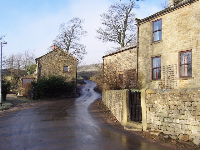
Angram Pasture Images
Images are sourced within 2km of 54.186786/-1.9624064 or Grid Reference SE0276. Thanks to Geograph Open Source API. All images are credited.
Angram Pasture is located at Grid Ref: SE0276 (Lat: 54.186786, Lng: -1.9624064)
Division: West Riding
Administrative County: North Yorkshire
District: Harrogate
Police Authority: North Yorkshire
What 3 Words
///calibrate.pavilions.builds. Near Grassington, North Yorkshire
Nearby Locations
Related Wikis

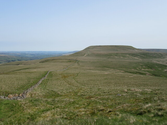
Little Whernside
Little Whernside is a hill in the Yorkshire Dales, North Yorkshire, England, 2.82 miles (4.54 km) north east of Great Whernside. It is on the boundary...
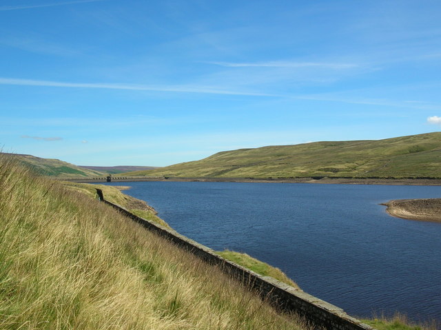
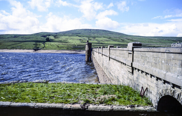
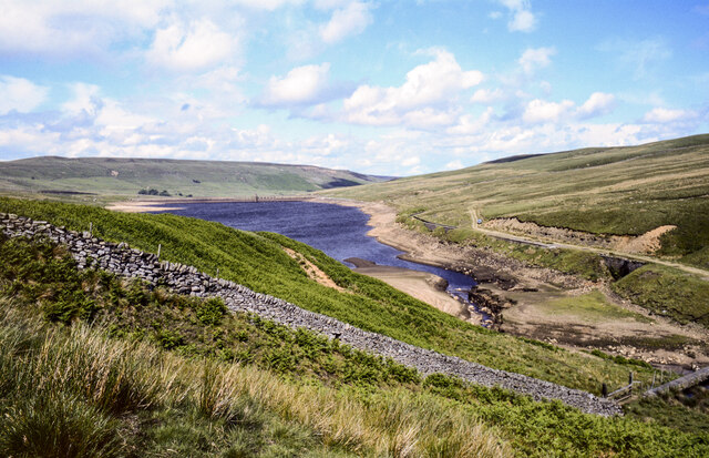
Angram Reservoir
Angram Reservoir is the first of three reservoirs on the River Nidd in Upper Nidderdale, North Yorkshire, England, the others being Scar House Reservoir...
Nidd Valley Light Railway
Nidd Valley Light Railway was a light railway in upper Nidderdale in the West Riding of Yorkshire, England. It was owned by Bradford Corporation Waterworks...
Woodale
Woodale is a hamlet in Coverdale in the Yorkshire Dales in England. It lies in the civil parish of Carlton Highdale in the Richmondshire district of North...

Carlton Highdale
Carlton Highdale is a civil parish in Coverdale, North Yorkshire, England. According to the 2001 census it had a population of 95. The parish covers the...

Scar House Reservoir
Scar House Reservoir is the second of the three reservoirs in Upper Nidderdale, North Yorkshire, England, the others are Angram Reservoir and Gouthwaite...

Nidd Aqueduct
The Nidd Aqueduct is an aqueduct or man-made watercourse in North Yorkshire, England. It feeds water from Angram and Scar House reservoirs in upper Nidderdale...
Braidley
Braidley is a hamlet in Coverdale in the Yorkshire Dales, England. It lies in the civil parish of Carlton Highdale in the Richmondshire district of North...
Have you been to Angram Pasture?
Leave your review of Angram Pasture below (or comments, questions and feedback).