The Park
Downs, Moorland in Northumberland
England
The Park

The Park, Northumberland is a stunning natural landscape located in the northern region of England. Spanning over a vast area, it encompasses various terrains such as downs, moorland, and woodlands. The park is renowned for its breathtaking beauty and diverse wildlife, attracting nature enthusiasts from all over the world.
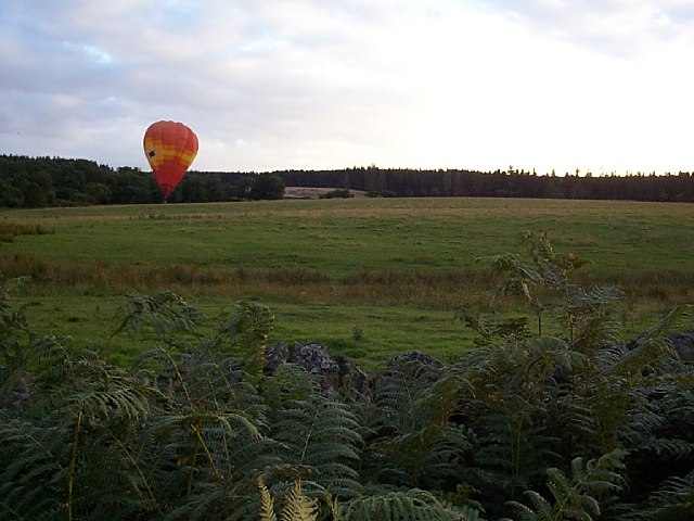
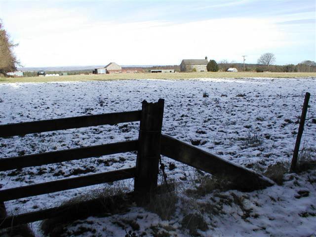
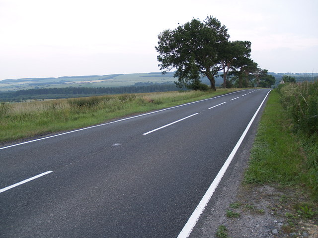
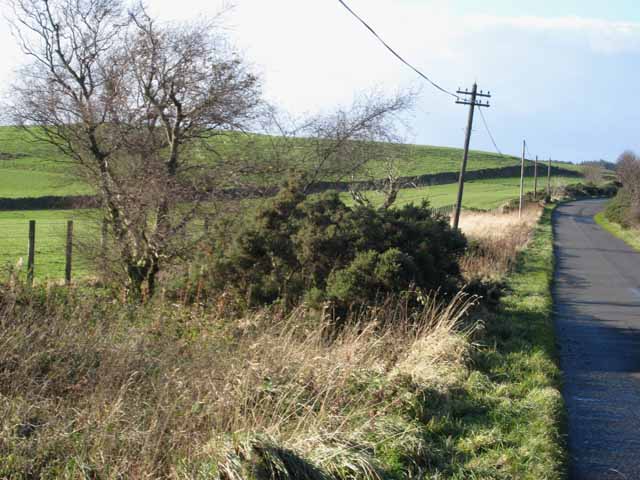
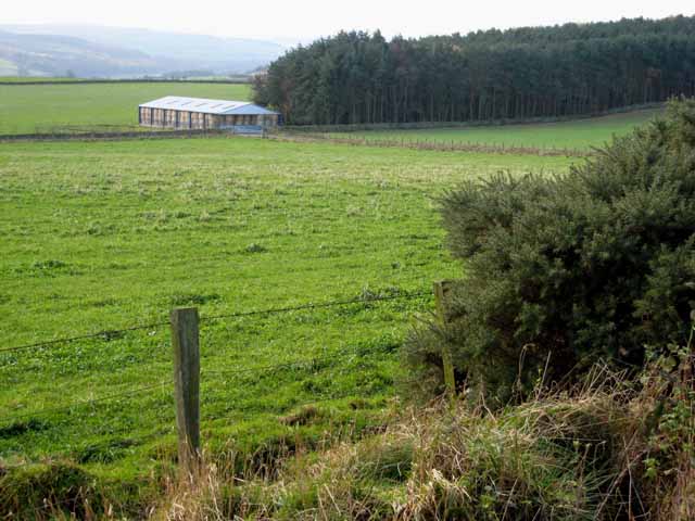
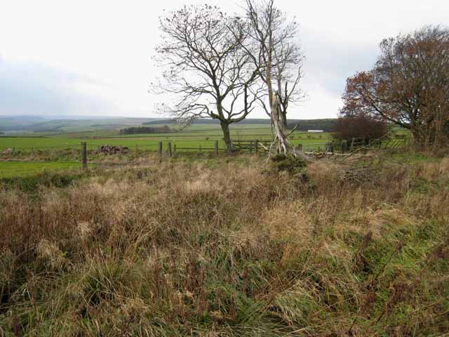
The downs in The Park are characterized by their gently rolling hills and expansive grasslands. These open spaces offer panoramic views of the surrounding countryside and provide a tranquil environment for visitors to relax and enjoy the scenery. The downs are also home to a variety of plant species, including wildflowers and grasses, creating a vibrant and colorful landscape during the warmer months.
Moorland is another distinctive feature of The Park, offering a stark contrast to the downs. This rugged terrain is characterized by its vast expanses of heather and peat bogs. Moorland is home to several unique plant species, such as the iconic purple heather, as well as various bird species, including curlews and golden plovers. Walking along the moors, visitors can experience a sense of solitude and immerse themselves in the untamed beauty of the landscape.
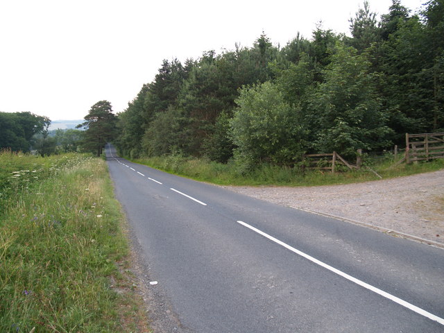
The Park also features dense woodlands, which provide a haven for a wide range of wildlife. Ancient oak trees, birches, and conifers dominate the woodland areas, creating a dense canopy that shelters a diverse array of flora and fauna. Visitors can explore the woodland trails, listening to the melodious songs of birds and observing small mammals such as squirrels and deer.
Overall, The Park, Northumberland is a haven for nature lovers, offering a rich tapestry of downs, moorland, and woodlands that showcase the stunning beauty and biodiversity of the region.
If you have any feedback on the listing, please let us know in the comments section below.
The Park Images
Images are sourced within 2km of 54.895515/-1.961785 or Grid Reference NZ0255. Thanks to Geograph Open Source API. All images are credited.


The Park is located at Grid Ref: NZ0255 (Lat: 54.895515, Lng: -1.961785)
Unitary Authority: Northumberland
Police Authority: Northumbria
What 3 Words
///trips.bathtubs.informal. Near Healey, Northumberland
Nearby Locations
Related Wikis

Minsteracres
Minsteracres is an 18th-century mansion house, now a Christian retreat centre, in Northumberland, England. It is a Grade II listed building.The house was...
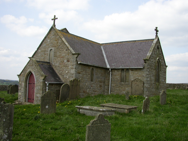
St Andrew's Church, Shotley
St Andrew's Church, Shotley, is a redundant Anglican church standing in an isolated position at a height of 960 feet (293 m) on Greymare Hill in Northumberland...

Healey, Northumberland
Healey is a rural estate and civil parish in Northumberland, England, situated between Riding Mill to the north and Slaley to the south. The neo-Norman...

Slaley Hall
Slaley Hall is a country house golf resort in Northumberland in North East England, built by local developers Seamus O'Carroll and John Rourke which hosted...

Derwent Reservoir (North East England)
The Derwent Reservoir is a reservoir on the River Derwent, on the border between County Durham and Northumberland, in England. It is west of Consett. It...

Colpitts Grange
Colpitts Grange is a hamlet in Northumberland, England. It is about 7 miles (11 km) to the south-east of Hexham. == Governance == Colpitts Grange is in...

Pow Hill Bog
Pow Hill Bog is a Site of Special Scientific Interest in the Wear Valley district of County Durham, England. It lies alongside Derwent Reservoir, approximately...
Apperley Dene
Apperley Dene is a hamlet in Stocksfield parish, Northumberland, England. It is situated south of the River Tyne between Hexham and Newcastle upon Tyne...
Nearby Amenities
Located within 500m of 54.895515,-1.961785Have you been to The Park?
Leave your review of The Park below (or comments, questions and feedback).