Rocher Moss

Downs, Moorland in Yorkshire

England

Rocher Moss

The Red Arrows over Round Hill On their way home after performing at an airshow at the Isle of Man
The Red Arrows over Round Hill Credit: Philip Cornwall

Rocher Moss is a picturesque area located in Yorkshire, England, known for its beautiful landscape and diverse ecosystems. Situated in the Yorkshire Downs, it encompasses both moorland and lush greenery, offering a unique experience for nature enthusiasts.

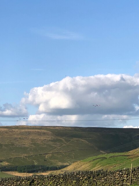
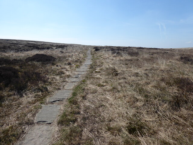
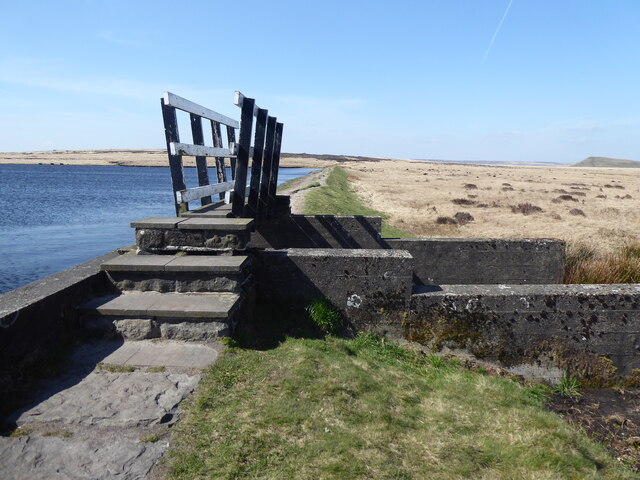
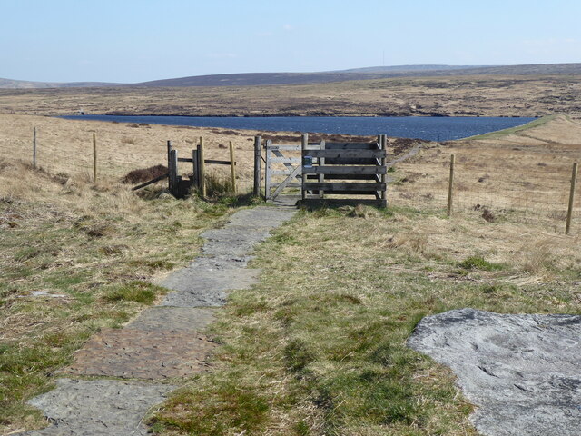
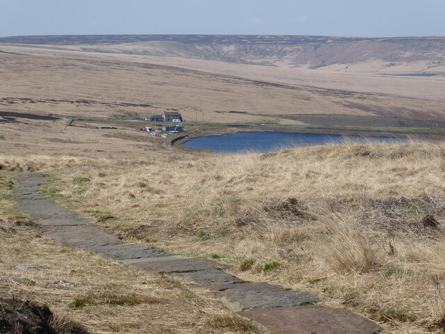
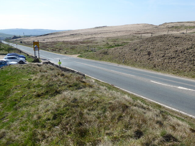
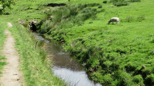
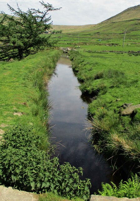
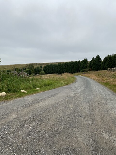
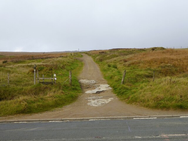
The moorland in Rocher Moss is characterized by its vast expanses of heather and peat bogs, creating a stunning purple hue during the summer months. This rugged terrain is home to a variety of wildlife, including red grouse, curlews, and meadow pipits. Visitors can enjoy scenic walks along the peat paths, taking in breathtaking views of the rolling hills and valleys that surround the area.

In contrast to the moorland, the Downs section of Rocher Moss is known for its verdant meadows and woodlands. Rich in flora and fauna, this area is a haven for birdwatchers and botany enthusiasts. The woodlands are abundant with oak and silver birch trees, providing habitats for a diverse range of wildlife, including deer, badgers, and foxes.

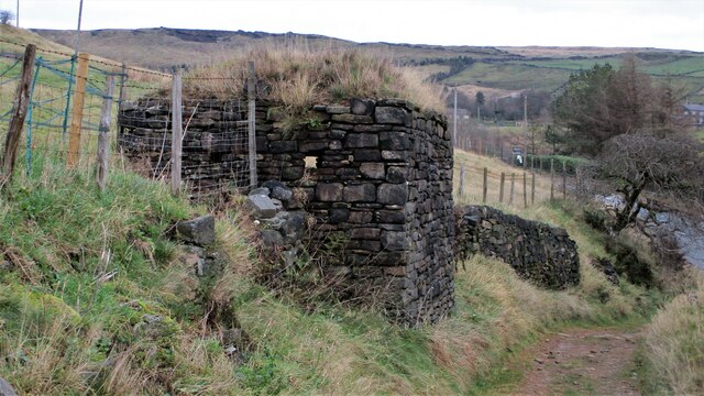
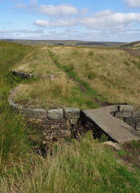
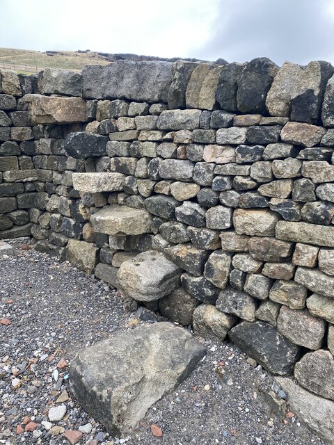
Rocher Moss is also home to several ancient archaeological sites, including burial mounds and stone circles, which offer a glimpse into the area's historical significance. These sites attract history enthusiasts and archaeology lovers, who can explore and learn about the region's past.

Overall, Rocher Moss is a must-visit destination for those seeking the tranquility of nature and the opportunity to immerse themselves in the rich biodiversity of the Yorkshire Downs and moorland.

If you have any feedback on the listing, please let us know in the comments section below.

Rocher Moss Images

Images are sourced within 2km of 53.576836/-1.9629307 or Grid Reference SE0208. Thanks to Geograph Open Source API. All images are credited.

The Red Arrows over Round Hill On their way home after performing at an airshow at the Isle of Man
The Red Arrows over Round Hill
On their way home after performing at an airshow at the Isle of Man
Black Moss Reservoir dam wall
The Pennine Way near Swellands reservoir
The Pennine Way near Black Moss Reservoir
The Pennine Way near Redbrook Reservoir
The Pennine Way by the A62
World War II Pillbox A well disguised strong point overlooking the A62
World War II Pillbox
A well disguised strong point overlooking the A62
Redbrook Reservoir Catchwater  and Path The catchwater and path go into Thieves Clough. The small footbridge crosses an overspill cascade that feeds into Redbrook Clough
Redbrook Reservoir Catchwater and Path
The catchwater and path go into Thieves Clough. The small footbridge crosses an overspill cascade that feeds into Redbrook Clough
Standedge Railway Tunnel Portal The double track tunnel that is used, nearby are unused single bore tunnels
Standedge Railway Tunnel Portal
The double track tunnel that is used, nearby are unused single bore tunnels
Railway Water Tower Between the tunnel portals for Standedge Tunnels. In front of the tower is the Diggle Brook which is culverted between man-made channels to pass the railway and canal
Railway Water Tower
Between the tunnel portals for Standedge Tunnels. In front of the tower is the Diggle Brook which is culverted between man-made channels to pass the railway and canal
Huddersfield Narrow Canal feed channel From Diggle Reservoir
Huddersfield Narrow Canal feed channel
From Diggle Reservoir
Huddersfield Narrow Canal feed channel From Diggle Reservoir
Huddersfield Narrow Canal feed channel
From Diggle Reservoir
Standedge footpath road
Walkers steps on the way to Standedge
Old milestone This rather sad looking West Riding CC milestone is about 100m southwest of Laceby House.   It has lost its backing stone, is very rusty and leaning.   The Wakefield and Austerlands road was a 27 mile long turnpike road which went through Huddersfield to Austerlands on the eastern outskirts of Oldham.
Old milestone
This rather sad looking West Riding CC milestone is about 100m southwest of Laceby House. It has lost its backing stone, is very rusty and leaning. The Wakefield and Austerlands road was a 27 mile long turnpike road which went through Huddersfield to Austerlands on the eastern outskirts of Oldham.
Old milestone This face tells us it is 6½ miles to Oldham.
Old milestone
This face tells us it is 6½ miles to Oldham.
Standedge Foot Road Heading away from the A62 road
Standedge Foot Road
Heading away from the A62 road
Show me another place!

Rocher Moss is located at Grid Ref: SE0208 (Lat: 53.576836, Lng: -1.9629307)

Division: West Riding

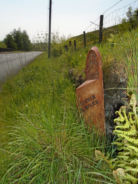
Unitary Authority: Oldham

Police Authority: Greater Manchester

What 3 Words

///trample.expecting.insert. Near Diggle, Manchester

Related Wikis

Standedge

Standedge () is a moorland escarpment in the Pennine Hills of northern England between Marsden, West Yorkshire and Diggle, Greater Manchester. Standedge...
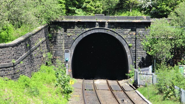
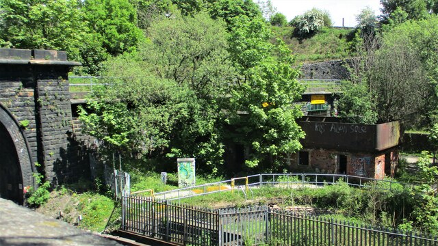
Standedge Tunnels

The Standedge Tunnels () are four parallel tunnels through the Pennine hills at the Standedge crossing between Marsden in Kirklees, West Yorkshire and...

Diggle railway station

Diggle railway station was a station that served the village of Diggle on the Huddersfield Line to the north of Uppermill. Immediately to the west of the...

Diggle, Greater Manchester

Diggle is a village in the civil parish of the Saddleworth in Metropolitan Borough of Oldham, in Greater Manchester, England. The village is situated on...

Nearby Amenities

Located within 500m of 53.576836,-1.9629307
Barrier: kissing_gate
Material: wood
Note: There probably used to be a stile here as there's a dog gate a couple of metres to the NE
Width: 1.2
Lat/Long: 53.5773738/-1.9567231
Barrier: kissing_gate
Depth: 1.0
Height: 1.3
Material: wood
Note: There probably used to be a stile here as there's a (still functional in Apr 2024) dog gate a metre to the E
Width: 1.1
Lat/Long: 53.5791453/-1.9581949
Barrier: stile
Material: wood
Stile: stepover
Lat/Long: 53.577357/-1.9581386
Barrier: stile
Material: wood
Stile: stepover
Lat/Long: 53.5779009/-1.9609201
Barrier: stile
Material: wood
Stile: stepover
Lat/Long: 53.5788798/-1.9654702
Barrier: stile
Material: wood
Stile: stepover
Lat/Long: 53.5783937/-1.9644405
Barrier: stile
Material: wood
Stile: stepover
Lat/Long: 53.5802664/-1.9671777
Fixme: This track continues. Updated imagery should help. It may also be covered in timber
Lat/Long: 53.5757605/-1.9560599
The data included in this document is from www.openstreetmap.org. The data is made available under ODbL.

Have you been to Rocher Moss?

Leave your review of Rocher Moss below (or comments, questions and feedback).