Bagendon Downs

Downs, Moorland in Gloucestershire Cotswold

England

Bagendon Downs

Daglingworth: The Holy Rood Church
Daglingworth: The Holy Rood Church Credit: Michael Garlick

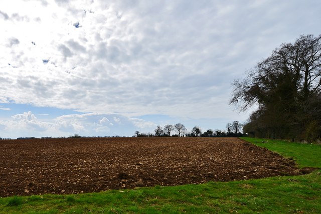
Bagendon Downs is a picturesque area located in Gloucestershire, England. It is a designated Site of Special Scientific Interest due to its unique combination of downs and moorland. Spanning over 200 hectares, Bagendon Downs is characterized by its rolling hills, open grasslands, and heather-covered moorland.

The area is known for its diverse wildlife and rich biodiversity. The downs are home to a wide range of plant species, including wildflowers, grasses, and rare orchids. The moorland provides a habitat for various bird species, such as skylarks, stonechats, and the elusive nightjar. Other notable fauna found in the area include the common lizard and adder.

Bagendon Downs also holds historical significance. It is believed to have been inhabited since the Iron Age, with evidence of ancient settlements and burial mounds. The area was later used for farming, and remnants of field systems from the Roman period can still be seen today.

Visitors to Bagendon Downs can enjoy the stunning panoramic views of the surrounding countryside and take leisurely walks along the well-maintained footpaths. The area is popular among hikers, birdwatchers, and nature enthusiasts alike. It offers a peaceful and tranquil escape from the hustle and bustle of urban life.

Overall, Bagendon Downs is a beautiful and ecologically important area in Gloucestershire, offering a unique blend of downs and moorland, abundant wildlife, and a glimpse into the region's rich history.

If you have any feedback on the listing, please let us know in the comments section below.

Bagendon Downs Images

Images are sourced within 2km of 51.754895/-1.9913473 or Grid Reference SP0006. Thanks to Geograph Open Source API. All images are credited.

Daglingworth: The Holy Rood Church
Daglingworth: A house and cottages in the village
Daglingworth: Ploughed fields, Bridge Farm Seen from the large church car park.
Daglingworth: Ploughed fields, Bridge Farm
Seen from the large church car park.
Daglingworth, The Holy Rood Church: The nave with its Anglo Saxon chancel arch The arch to the left looks "Norman" but is Victorian.
Daglingworth, The Holy Rood Church: The nave with its Anglo Saxon chancel arch
The arch to the left looks "Norman" but is Victorian.
Daglingworth, The Holy Rood Church: The nave with its Anglo Saxon chancel arch Above the pulpit is an Anglo Saxon Crucifixion scene carving.
Daglingworth, The Holy Rood Church: The nave with its Anglo Saxon chancel arch
Above the pulpit is an Anglo Saxon Crucifixion scene carving.
Daglingworth, The Holy Rood Church: The narrow approach road
Daglingworth, The Holy Rood Church: Crucifixion scene, one of four Anglo Saxon wall mounted plaques
Daglingworth, The Holy Rood Church: "Christ in Majesty" scene, one of four Anglo Saxon wall mounted plaques
Daglingworth, The Holy Rood Church: St. Peter with the key to the Gates of Heaven, one of four Anglo Saxon wall mounted plaques
Daglingworth, The Holy Rood Church: The octagonal c15th font (detail)
Daglingworth, The Holy Rood Church: Crucifixion scene, one of four Anglo Saxon wall mounted plaques
Daglingworth, The Holy Rood Church: Faux medieval scalloped capital
Daglingworth, The Holy Rood Church: Capital
Daglingworth, The Holy Rood Church: The Jeremiah Hancock memorial
Daglingworth, The Holy Rood Church: "Christ in Majesty" scene, one of four Anglo Saxon wall mounted plaques
Show me another place!

Bagendon Downs is located at Grid Ref: SP0006 (Lat: 51.754895, Lng: -1.9913473)

Administrative County: Gloucestershire

District: Cotswold

Police Authority: Gloucestershire

What 3 Words

///surviving.qualifier.releasing. Near Stratton, Gloucestershire

Related Wikis

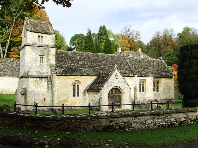
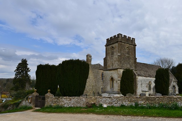
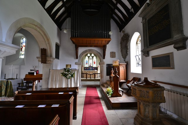
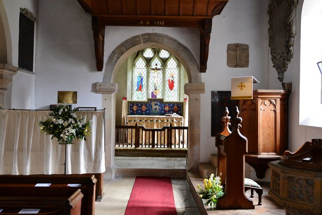
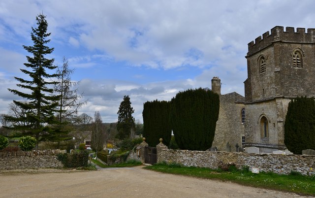
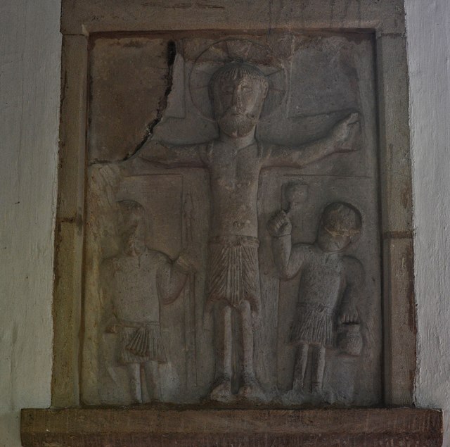
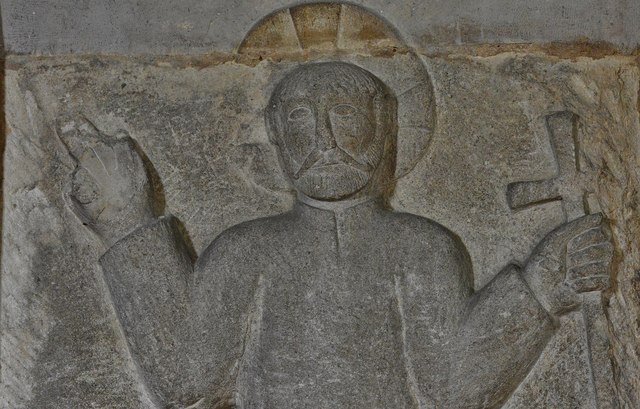
Church of St Margaret, Bagendon

The Anglican Church of St Margaret at Bagendon in the Cotswold District of Gloucestershire, England was built in the 12th century. It is a grade I listed...
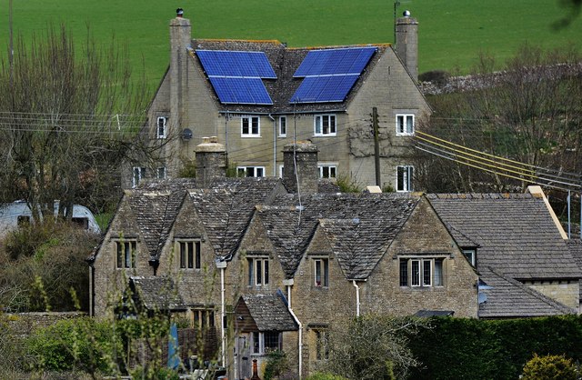
Bagendon

Bagendon is a village and civil parish in the Cotswold district of Gloucestershire, England, about four miles north of Cirencester. According to the 2001...

A417 road

The A417 is a main road in England running from Streatley, Berkshire to Hope under Dinmore, Herefordshire. It is best known for its section between Cirencester...

Daglingworth

Daglingworth is a Gloucestershire village in the valley of the River Dunt, near the A417 road connecting Gloucester and Cirencester. As with many smaller...

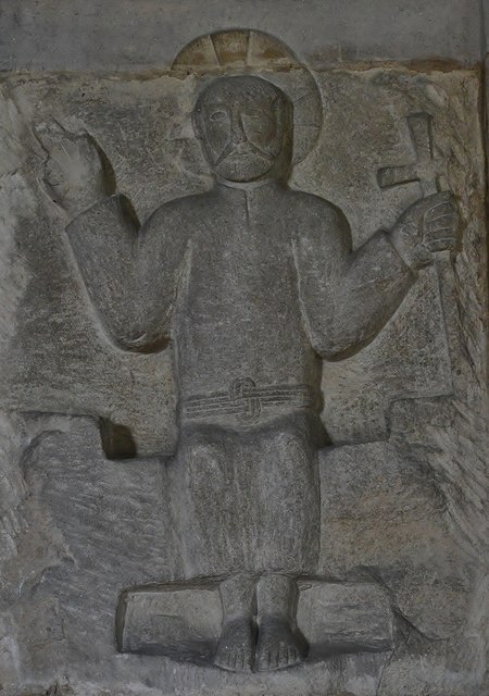
Church of the Holy Rood , Daglingworth

The Anglican Church of the Holy Rood at Daglingworth in the Cotswold District of Gloucestershire, England was built in the 11th century. It is a Grade...

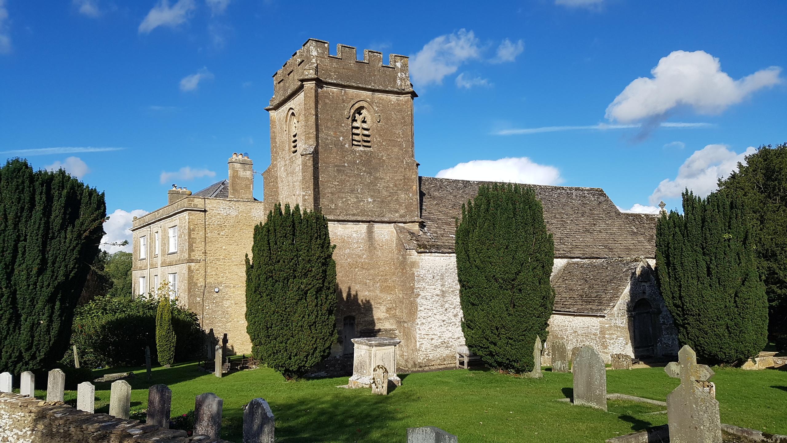
St Michael's Church, Duntisbourne Rouse

St Michael's Church is an Anglican church in the Cotswold village of Duntisbourne Rouse, Gloucestershire, England. It dates from no later than the 11th...

North Cerney

North Cerney is a village and civil parish in the English county of Gloucestershire, and lies within the Cotswolds, a range of hills designated an Area...

Woodmancote, Cirencester

Woodmancote is a Cotswolds village near Cirencester, Gloucestershire, England. The village lies just off the A435. The village is 0.2 square miles (52...

Nearby Amenities

Located within 500m of 51.754895,-1.9913473
Natural: spring
Source: OS 1:25k
Lat/Long: 51.757924/-1.9912158
Cafe
Fire & Flow Coffee Roastery & Espresso Bar
Addr City: Bagendon
Addr Housenumber: Unit 2A
Addr Postcode: GL7 7JE
Addr Street: Tall Trees Estate
Cuisine: coffee_shop
Internet Access: yes
Internet Access Fee: no
Outdoor Seating: yes
Website: https://www.fireandflowcoffee.co.uk/
Lat/Long: 51.7536698/-1.9859919
Poles: bipole
Power: pole
Source: bing
Transformer: distribution
Lat/Long: 51.7583792/-1.9897056
Power: pole
Source: bing
Lat/Long: 51.7586449/-1.9888768
Power: pole
Source: bing
Lat/Long: 51.7586781/-1.9879326
Power: pole
Source: bing
Lat/Long: 51.7566517/-1.9874364
Power: pole
Source: bing
Lat/Long: 51.7579957/-1.9877663
Power: pole
Source: bing
Lat/Long: 51.7573316/-1.9876108
Power: pole
Source: bing
Lat/Long: 51.7558664/-1.9875477
Power: pole
Source: bing
Lat/Long: 51.7529342/-1.9881472
Power: pole
Source: bing
Lat/Long: 51.7525265/-1.9854771
Power: pole
Source: bing
Lat/Long: 51.7515892/-1.9927941
Power: pole
Source: bing
Lat/Long: 51.75327/-1.9890015
Power: pole
Source: bing
Lat/Long: 51.75249/-1.9892643
Power: pole
Source: bing
Lat/Long: 51.7523065/-1.989892
Power: pole
Source: bing
Lat/Long: 51.7564193/-1.9975577
Power: pole
Source: bing
Lat/Long: 51.7557452/-1.9959497
Power: pole
Source: bing
Lat/Long: 51.7550711/-1.9943351
Power: pole
Source: bing
Lat/Long: 51.7547241/-1.9935089
Power: pole
Source: bing
Lat/Long: 51.754265/-1.9924133
Power: pole
Source: bing
Lat/Long: 51.7537694/-1.9907074
Power: pole
Source: bing
Lat/Long: 51.752857/-1.9863635
Power: pole
Source: bing
Lat/Long: 51.7529076/-1.9872902
Power: pole
Source: bing
Lat/Long: 51.7550786/-1.9876564
Power: pole
Source: bing
Lat/Long: 51.7543546/-1.9878589
Power: pole
Source: bing
Lat/Long: 51.7536531/-1.9880667
Man Made: communications_tower
Material: steel
Ref GB Uprn: 10022847534
Tower Construction: lattice
Tower Type: communication
Lat/Long: 51.7507855/-1.99426
The data included in this document is from www.openstreetmap.org. The data is made available under ODbL.

Have you been to Bagendon Downs?

Leave your review of Bagendon Downs below (or comments, questions and feedback).