Harwood Plantation
Downs, Moorland in Northumberland
England
Harwood Plantation
Harwood Plantation is a historical estate located in Northumberland, England. Situated in the scenic countryside, the plantation encompasses vast areas of downs and moorland, offering breathtaking views and a serene environment.
The estate dates back to the 17th century and has been well-preserved throughout the years. The main house, a magnificent Georgian-style mansion, stands as the centerpiece of the property. Its grand architecture, with its symmetrical design and elegant facade, reflects the opulence of the era.
Surrounding the main house are meticulously landscaped gardens, boasting vibrant flower beds, neatly trimmed hedges, and meandering pathways. These gardens offer a tranquil space for leisurely walks, picnics, and outdoor gatherings.
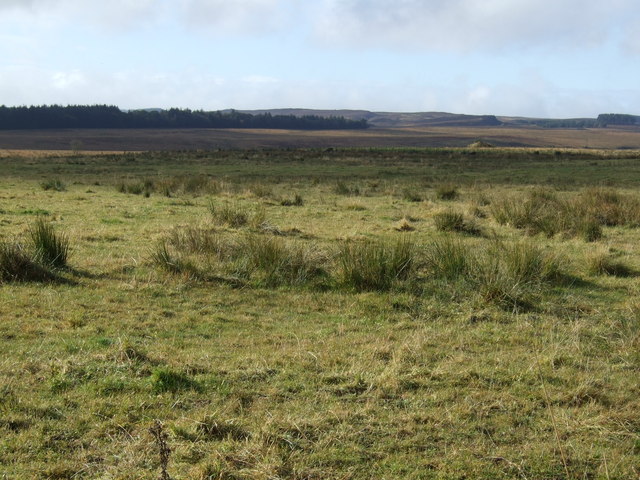
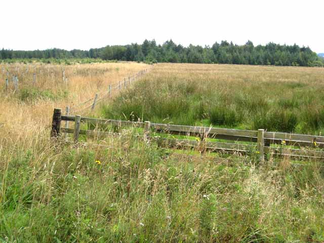
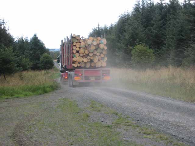
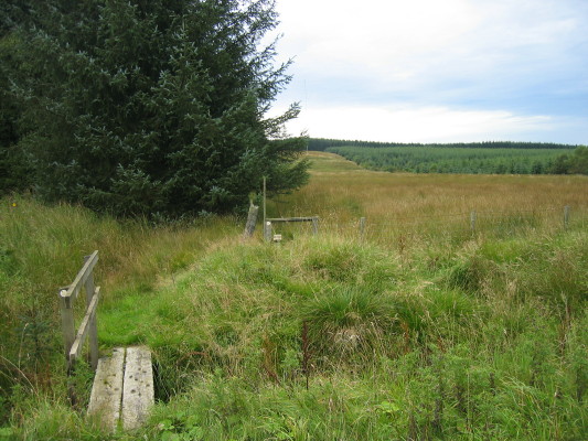
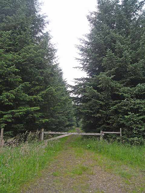
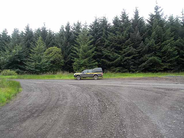
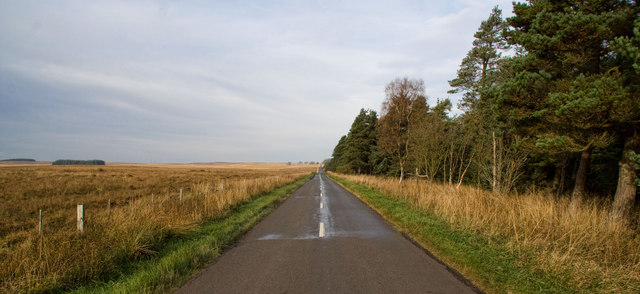
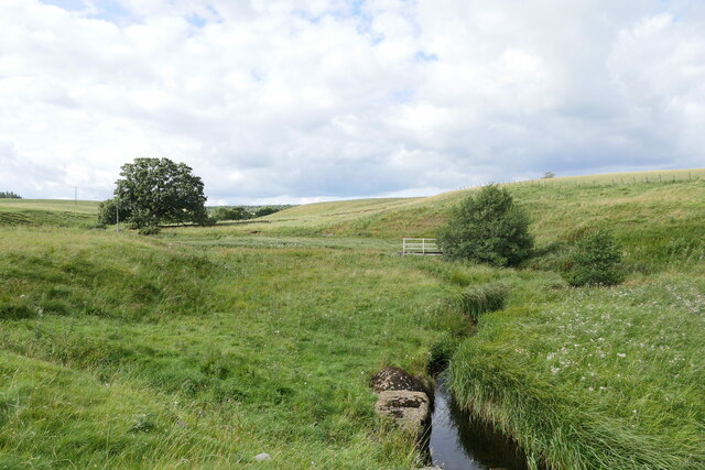
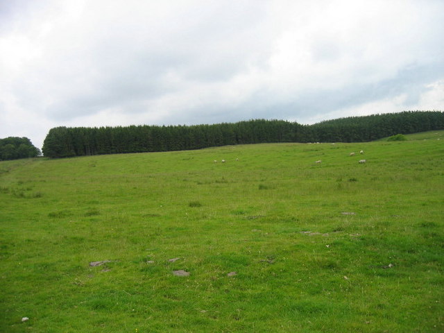
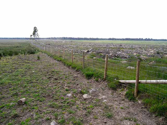
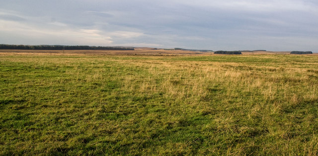
Beyond the gardens, the plantation extends into the downs and moorland, which provide a natural habitat for various flora and fauna. The downs are characterized by rolling hills covered in lush green grass, while the moorland showcases a more rugged terrain with heather and bracken.
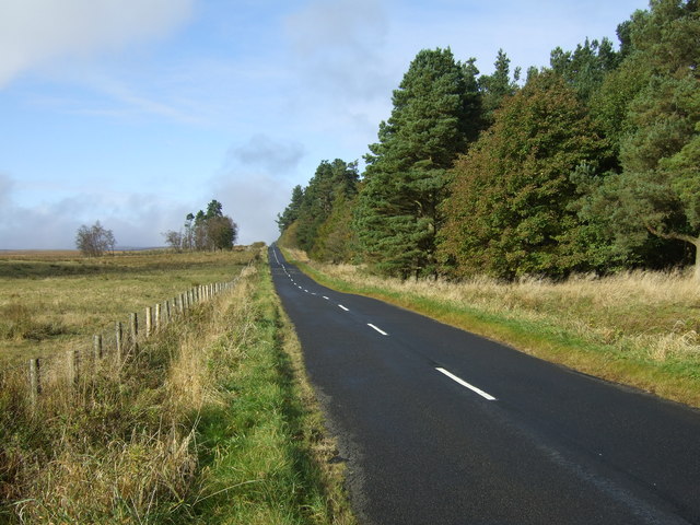
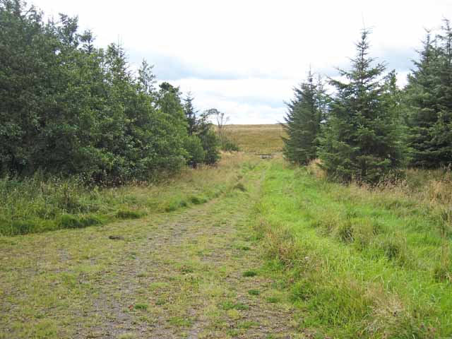
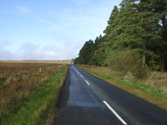
Harwood Plantation offers a range of recreational activities for visitors to enjoy. Hiking and cycling trails crisscross the downs and moorland, allowing outdoor enthusiasts to explore the stunning landscapes. Birdwatching is also popular in the area, as the plantation is home to a diverse array of bird species.
In addition to its natural beauty, Harwood Plantation boasts a rich history. Visitors can delve into the estate's past by exploring the on-site museum, which showcases artifacts and documents related to the plantation's previous owners and the local area's heritage.
Overall, Harwood Plantation is a captivating destination that seamlessly blends natural beauty with historical charm, making it a must-visit location in Northumberland.
If you have any feedback on the listing, please let us know in the comments section below.
Harwood Plantation Images
Images are sourced within 2km of 55.210195/-1.9907937 or Grid Reference NZ0090. Thanks to Geograph Open Source API. All images are credited.


Harwood Plantation is located at Grid Ref: NZ0090 (Lat: 55.210195, Lng: -1.9907937)
Unitary Authority: Northumberland
Police Authority: Northumbria
What 3 Words
///interacts.hike.probable. Near Rothley, Northumberland
Nearby Locations
Related Wikis

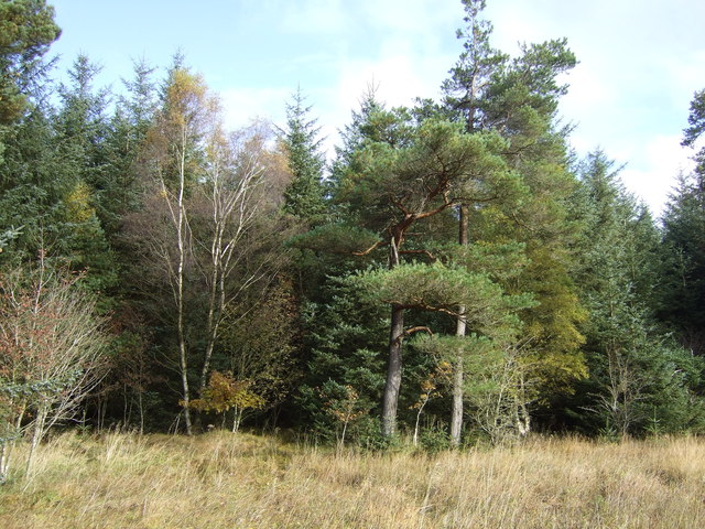
Harwood Forest
Harwood Forest is a 3,527 hectares (8,720 acres) conifer plantation located to the south of Rothbury in North Northumberland, England, and managed by Forestry...

Fallowlees Flush
Fallowlees Flush is the name given to a Site of Special Scientific Interest (SSSI) in mid-Northumberland, England. The steeply sloping site has calcium...
Longwitton railway station
Longwitton station was a weather board and corrugated iron built railway station in Northumberland on the Rothbury Branch. Originally known as Rothley...

Rothley Castle
Rothley Castle is an 18th-century gothic folly built to resemble a medieval castle, situated at Rothley, Northumberland. It is a Grade II* listed building...
Rothley, Northumberland
Rothley is a small settlement and civil parish in Northumberland, England about 2 miles (3 km) north east of Cambo and about 6 miles (10 km) west of Morpeth...

Northumberland
Northumberland ( nor-THUM-bər-lənd) is a ceremonial county in North East England, bordering Scotland. It is bordered by the Scottish Borders to the north...

Knowesgate railway station
Knowesgate was a stone-built railway station with goods sidings in Northumberland, England on the Wansbeck Railway between Morpeth and Reedsmouth, which...

West Grange Hall
West Grange Hall is an English country house and estate in the village of Scots Gap, Northumberland, built between 1863 and 1896 and originally part of...
Nearby Amenities
Located within 500m of 55.210195,-1.9907937Have you been to Harwood Plantation?
Leave your review of Harwood Plantation below (or comments, questions and feedback).