Low Green Fell

Downs, Moorland in Yorkshire

England

Low Green Fell

Shooting hut beside East Black Sike East Black Sike drains part of Scargill High Moor. The hut is set into a gouge into the slope on the west side of the stream; it can be approached by an estate road from the north.
Shooting hut beside East Black Sike Credit: Trevor Littlewood

Low Green Fell is a picturesque area located in the county of Yorkshire in northern England. Situated amidst the stunning Yorkshire Downs and Moorland, this region offers a unique blend of natural beauty and rich history.

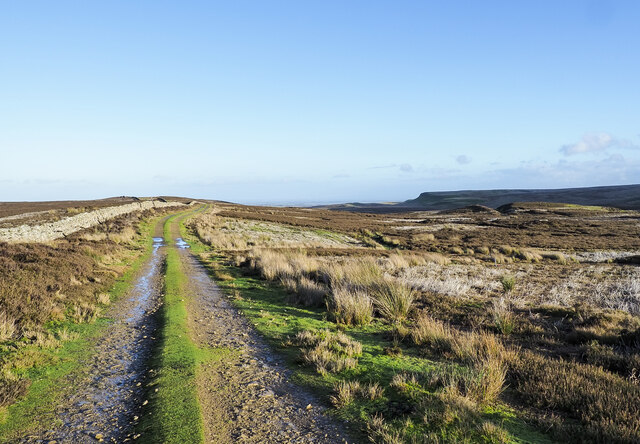
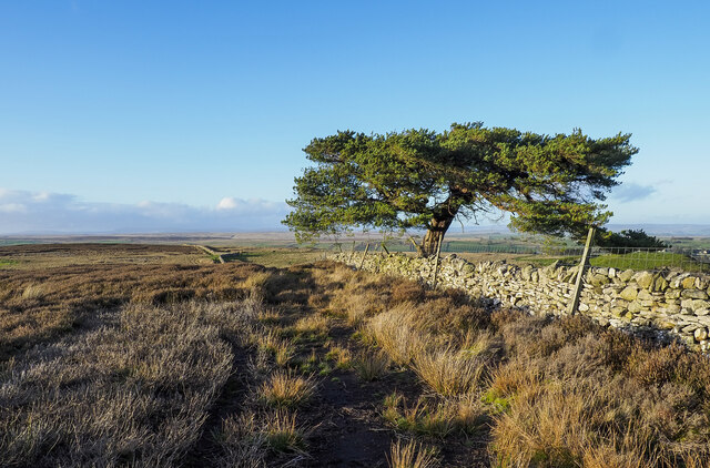
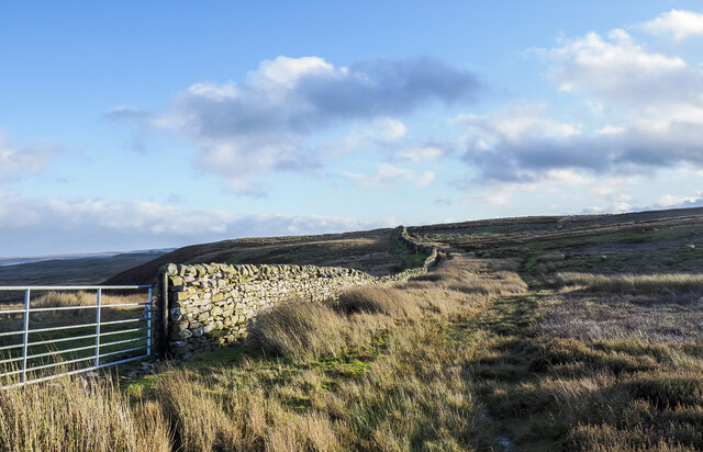
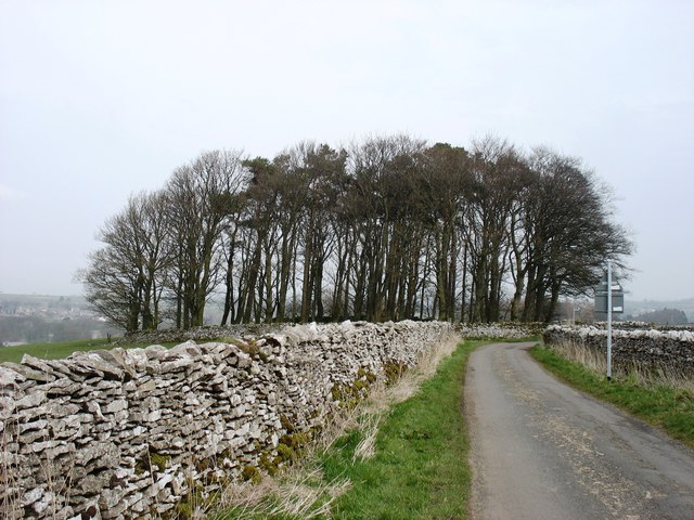
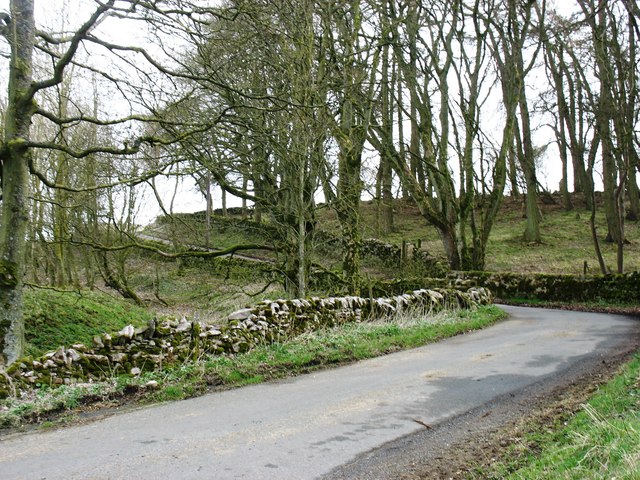
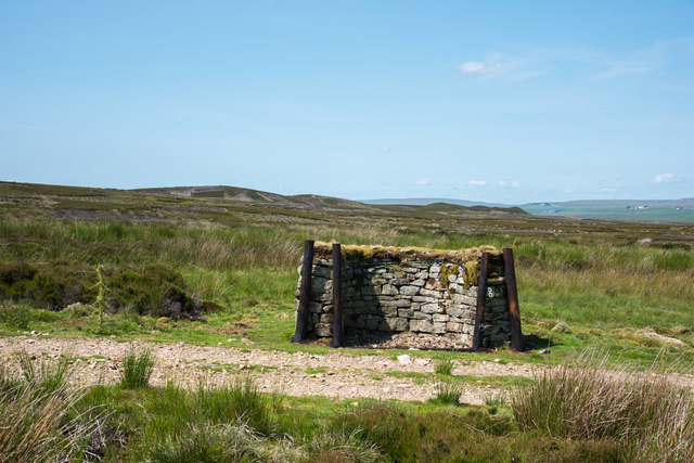
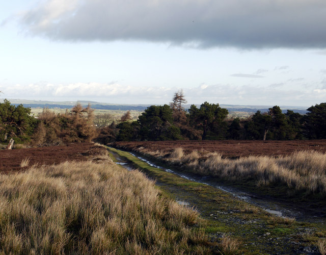
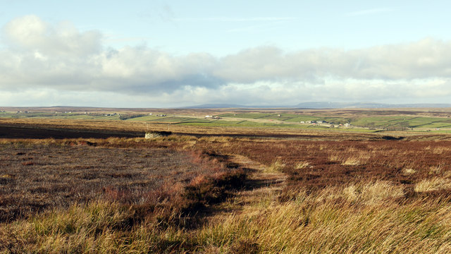
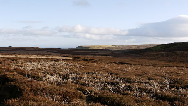
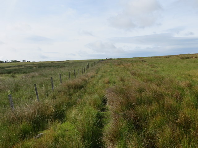
The landscape of Low Green Fell is characterized by rolling hills, expansive meadows, and rugged moorland, creating a captivating vista for visitors. The area is known for its abundant wildlife, with various species of birds, mammals, and flora thriving in this diverse ecosystem. The Yorkshire Downs, with their vast open spaces and ancient stone formations, provide an ideal setting for outdoor activities such as hiking, cycling, and horse riding.

Cultural heritage is also deeply rooted in Low Green Fell, with several historic sites scattered throughout the area. The ruins of old castles, such as Highclere Castle and Bolton Castle, offer a glimpse into the region's medieval past. Additionally, charming villages and towns, including Haworth and Skipton, provide a glimpse of traditional Yorkshire life, with their quaint cottages, local shops, and welcoming atmosphere.

Low Green Fell benefits from its proximity to the Yorkshire Dales National Park, which further enhances its appeal. The park is renowned for its breathtaking scenery, picturesque valleys, and picturesque waterfalls, making it a haven for nature enthusiasts and photographers.

Whether seeking tranquility in nature, exploring historical landmarks, or engaging in outdoor adventures, Low Green Fell in Yorkshire offers a delightful experience for visitors of all interests.

If you have any feedback on the listing, please let us know in the comments section below.

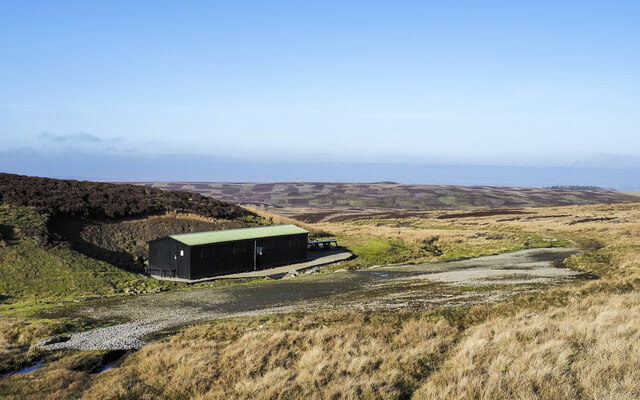
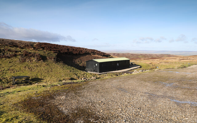
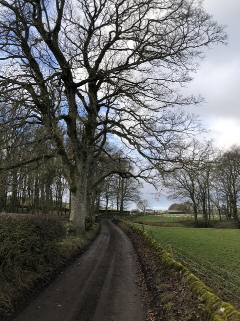
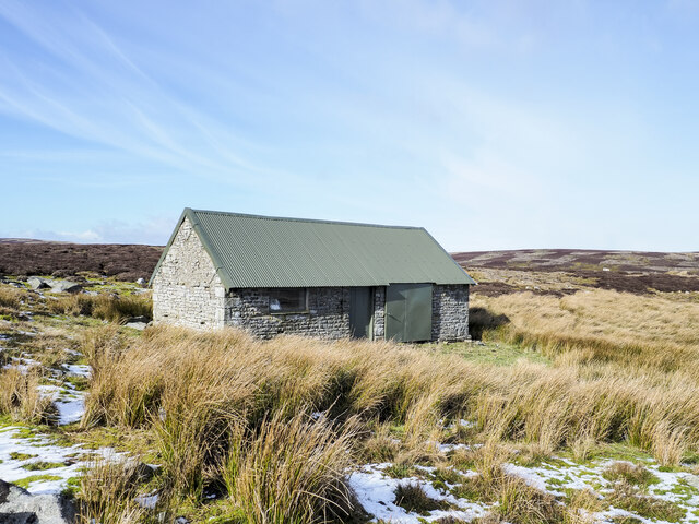
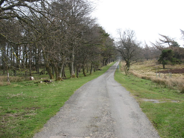
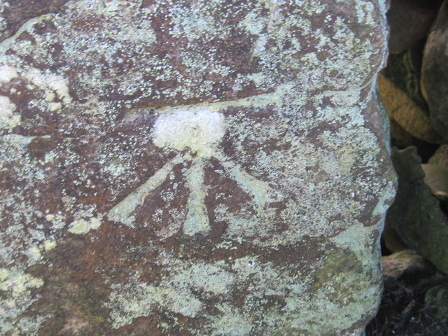
Low Green Fell Images

Images are sourced within 2km of 54.497585/-2.0041665 or Grid Reference NY9911. Thanks to Geograph Open Source API. All images are credited.

Shooting hut beside East Black Sike East Black Sike drains part of Scargill High Moor. The hut is set into a gouge into the slope on the west side of the stream; it can be approached by an estate road from the north.
Shooting hut beside East Black Sike
East Black Sike drains part of Scargill High Moor. The hut is set into a gouge into the slope on the west side of the stream; it can be approached by an estate road from the north.
High Moor Lunch Hut As well as lots of Covid-related signage and hand-sanitiser at every door, the shooting hut also has a prominent sign announcing its identity to anyone coming up the track from lower down in the drainage of East Black Sike, though it seems likely that anyone with need to know would be accompanied by drivers, beaters and others who could just as easily tell them (if they hadn't already been briefed when paying out the exorbitant sums to come and shoot things). Presumably it also becomes obvious when, on Scargill High Moor, they get provided with lunch...
High Moor Lunch Hut
As well as lots of Covid-related signage and hand-sanitiser at every door, the shooting hut also has a prominent sign announcing its identity to anyone coming up the track from lower down in the drainage of East Black Sike, though it seems likely that anyone with need to know would be accompanied by drivers, beaters and others who could just as easily tell them (if they hadn't already been briefed when paying out the exorbitant sums to come and shoot things). Presumably it also becomes obvious when, on Scargill High Moor, they get provided with lunch...
Long Close Lane
Long Close Lane
Repurposed hut on Scargill High Moor The building is on the northern side of the moor and is surely no longer used as the shooting box that it is named on OS maps. The building was found to be unlocked, its door secured by string and the left side as viewed filled with rubbish. A short distance south there's a new shooting hut - <a title="https://www.geograph.org.uk/photo/7079267" href="https://www.geograph.org.uk/photo/7079267">Link</a> - and it's assumed that it has replaced the one in the image.
Repurposed hut on Scargill High Moor
The building is on the northern side of the moor and is surely no longer used as the shooting box that it is named on OS maps. The building was found to be unlocked, its door secured by string and the left side as viewed filled with rubbish. A short distance south there's a new shooting hut - Link - and it's assumed that it has replaced the one in the image.
Hill road east of Citron Seat The road runs alongside the wall following the ridge connecting Citron Seat and Hazel Bush Hill; both features are behind the camera position. Its purpose is to allow easy access for grouse shooting parties.
Hill road east of Citron Seat
The road runs alongside the wall following the ridge connecting Citron Seat and Hazel Bush Hill; both features are behind the camera position. Its purpose is to allow easy access for grouse shooting parties.
Bridleway route passing distorted pine tree The visible route on the heather moorland is apparent because of its use by estate and perhaps farm vehicles. The bridleway route itself has curved down from a ridge above where there's little trace if any of a path on the ground. The tree is at the southern end of the unusually named Hong Kong Plantation.
Bridleway route passing distorted pine tree
The visible route on the heather moorland is apparent because of its use by estate and perhaps farm vehicles. The bridleway route itself has curved down from a ridge above where there's little trace if any of a path on the ground. The tree is at the southern end of the unusually named Hong Kong Plantation.
Wall rising on heather moorland The wall rises to the south-east on a gentle moorland slope from the vicinity of Low Green Fell.
Wall rising on heather moorland
The wall rises to the south-east on a gentle moorland slope from the vicinity of Low Green Fell.
The lane to Gilmonby This lane from Sleightholme is heading for Gilmonby and Bowes.
The lane to Gilmonby
This lane from Sleightholme is heading for Gilmonby and Bowes.
The lane to Gilmonby This lane from Sleightholme is heading for Gilmonby and Bowes.
The lane to Gilmonby
This lane from Sleightholme is heading for Gilmonby and Bowes.
The start of the lane to The Rigg The public road ends in about a kilometre or so.
The start of the lane to The Rigg
The public road ends in about a kilometre or so.
Grouse butt beside estate road The grouse butt is one of a line on Gilmonby Moor, and also north of the minor hill, Citron Seat. The road passing butt No. 8 is not currently shown on OS maps at any scale at this location but is, as far as the shooting hut further north.
In the distance there's a series of minor rises named collectively as Seven Hills but only six can be discerned from this location.
Grouse butt beside estate road
The grouse butt is one of a line on Gilmonby Moor, and also north of the minor hill, Citron Seat. The road passing butt No. 8 is not currently shown on OS maps at any scale at this location but is, as far as the shooting hut further north. In the distance there's a series of minor rises named collectively as Seven Hills but only six can be discerned from this location.
Estate road through West Plantation From Bowes alongside the A66, a minor road heads south-west to reach the farm at Sleightholme, in fact the public highway continues as a rough track beyond Sleightholme to join the road in Arkengarthdale, though few would wish to risk their vehicle beyond the farm! West Plantation lies on the south side of the road, this estate road passing through it.
Estate road through West Plantation
From Bowes alongside the A66, a minor road heads south-west to reach the farm at Sleightholme, in fact the public highway continues as a rough track beyond Sleightholme to join the road in Arkengarthdale, though few would wish to risk their vehicle beyond the farm! West Plantation lies on the south side of the road, this estate road passing through it.
Gilmonby Moor An estate road crosses Gilmonby Moor to reach a shooting hut. The view here is from that road across managed grouse moor, (a grouse butt is in view), to the agricultural land astride the A66 with the northern Pennine hills, Little Fell and Mickle Fell, seen dimly in the distance.
Gilmonby Moor
An estate road crosses Gilmonby Moor to reach a shooting hut. The view here is from that road across managed grouse moor, (a grouse butt is in view), to the agricultural land astride the A66 with the northern Pennine hills, Little Fell and Mickle Fell, seen dimly in the distance.
Heather moorland on north side of Hazel Bush Hill Hazel Bush Hill is an insignificant eminence of heather moorland to the east of the minor rise of Citron Seat; land on the north side of the hill is seen here, the view being eastwards.
Heather moorland on north side of Hazel Bush Hill
Hazel Bush Hill is an insignificant eminence of heather moorland to the east of the minor rise of Citron Seat; land on the north side of the hill is seen here, the view being eastwards.
Ordnance Survey Cut Mark This mark can be found on Gilmonby Bridge.
For more detail see : <span class="nowrap"><a title="http://www.bench-marks.org.uk/bm46143" rel="nofollow ugc noopener" href="http://www.bench-marks.org.uk/bm46143">Link</a><img style="margin-left:2px;" alt="External link" title="External link - shift click to open in new window" src="https://s1.geograph.org.uk/img/external.png" width="10" height="10"/></span>
Ordnance Survey Cut Mark
This mark can be found on Gilmonby Bridge. For more detail see : LinkExternal link
Ordnance Survey Cut Mark A somewhat rare example of a cut mark on a wooden gatepost. This can be found in Sleightholme Road.
For more detail see : <span class="nowrap"><a title="http://www.bench-marks.org.uk/bm46144" rel="nofollow ugc noopener" href="http://www.bench-marks.org.uk/bm46144">Link</a><img style="margin-left:2px;" alt="External link" title="External link - shift click to open in new window" src="https://s1.geograph.org.uk/img/external.png" width="10" height="10"/></span>
Ordnance Survey Cut Mark
A somewhat rare example of a cut mark on a wooden gatepost. This can be found in Sleightholme Road. For more detail see : LinkExternal link
Ordnance Survey Cut Mark This mark can be found on a stone gatepost in Sleigtholme Road.
For more detail see : <span class="nowrap"><a title="http://www.bench-marks.org.uk/bm46145" rel="nofollow ugc noopener" href="http://www.bench-marks.org.uk/bm46145">Link</a><img style="margin-left:2px;" alt="External link" title="External link - shift click to open in new window" src="https://s1.geograph.org.uk/img/external.png" width="10" height="10"/></span>
Ordnance Survey Cut Mark
This mark can be found on a stone gatepost in Sleigtholme Road. For more detail see : LinkExternal link
The fence line over High Green Fell Taken from the bridleway looking south.
The fence line over High Green Fell
Taken from the bridleway looking south.
Show me another place!

Low Green Fell is located at Grid Ref: NY9911 (Lat: 54.497585, Lng: -2.0041665)

Division: North Riding

Unitary Authority: County Durham

Police Authority: Durham

What 3 Words

///sizzled.aunts.handy. Near Bowes, Co. Durham

Related Wikis

Gilmonby

Gilmonby is a village in the Pennines in County Durham, England. it is situated a short distance to the south of Bowes, in the vicinity of Barnard Castle...

Bowes

Bowes is a village in the historic county of Yorkshire and, since 1974, in the ceremonial county of County Durham, England. Located in the Pennine hills...

Bowes Castle

Bowes Castle is a medieval castle in the village of Bowes in County Durham, England. Built within the perimeter of the former Roman fort of Lavatrae, on...

Bowes railway station

Bowes railway station was situated on the South Durham & Lancashire Union Railway between Barnard Castle and Kirkby Stephen East. == History == The line...

Sleightholme Beck Gorge – The Troughs

Sleightholme Beck Gorge – The Troughs is a Site of Special Scientific Interest in the County Durham district of south-west County Durham, England. The...

RAF Bowes Moor

RAF Bowes Moor was a chemical warfare agent (CWA) storage site run by the Royal Air Force during and after the Second World War. The site was to the north...

Kilmond Scar

Kilmond Scar is a Site of Special Scientific Interest in the County Durham district of south-west County Durham, England. It lies just south of the A66...
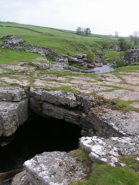
God's Bridge

God's Bridge is a Site of Special Scientific Interest in the County Durham district of south-west County Durham, England. It is a natural limestone bridge...

Nearby Amenities

Located within 500m of 54.497585,-2.0041665
Anthropogenic: yes
Natural: sinkhole
Lat/Long: 54.4976071/-2.0115883
Anthropogenic: yes
Natural: sinkhole
Lat/Long: 54.4976612/-2.0113819
Natural: shake_hole
Lat/Long: 54.4972908/-2.0080086
Anthropogenic: yes
Natural: sinkhole
Lat/Long: 54.4959886/-2.0055088
Anthropogenic: yes
Natural: sinkhole
Lat/Long: 54.4959886/-2.0058199
Anthropogenic: yes
Natural: sinkhole
Lat/Long: 54.4957767/-2.0060989
Hong Kong Plantation
Place: locality
Lat/Long: 54.4992631/-2.0076973
Natural: shake_hole
Lat/Long: 54.498802/-2.0037061
Low Green Fell
Place: locality
Lat/Long: 54.4958985/-2.0032341
The data included in this document is from www.openstreetmap.org. The data is made available under ODbL.

Have you been to Low Green Fell?

Leave your review of Low Green Fell below (or comments, questions and feedback).