Catterick Moss

Downs, Moorland in Durham

England

Catterick Moss

Moor House beside B6278 Moor House is a small, deserted property beside the B6278 south of Stanhope. Scurfield House is partly hidden by the right hand tree.
Moor House beside B6278 Credit: Trevor Littlewood

Catterick Moss is a vast area of moorland located in Durham, England. Covering an expansive territory, it is situated in close proximity to the village of Catterick and is a significant part of the local landscape. The moss is characterized by its flat, open terrain, punctuated by patches of heather and grasses that create a colorful mosaic during the summer months.

This moorland is renowned for its unique flora and fauna, with a wide range of plant species thriving in its damp, peaty soil. The area supports a diverse array of wildlife, including various bird species, such as curlews and lapwings, which can be spotted nesting and foraging throughout the moss. Additionally, the moss is home to a number of small mammals, including voles and weasels.

Catterick Moss is a popular destination for nature enthusiasts and birdwatchers due to its rich biodiversity and tranquil atmosphere. Visitors can explore the area by following designated footpaths and trails that wind through the moorland, offering stunning views of the surrounding countryside. The moss also provides a habitat for rare plants, such as the carnivorous sundew, which can be observed up close by those willing to venture off the beaten path.

Overall, Catterick Moss is a picturesque and ecologically significant area, offering visitors the opportunity to immerse themselves in the natural beauty and serenity of the Durham countryside.

If you have any feedback on the listing, please let us know in the comments section below.

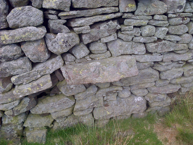
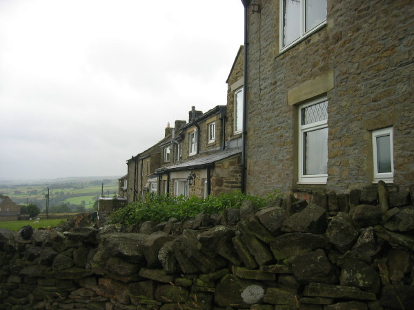
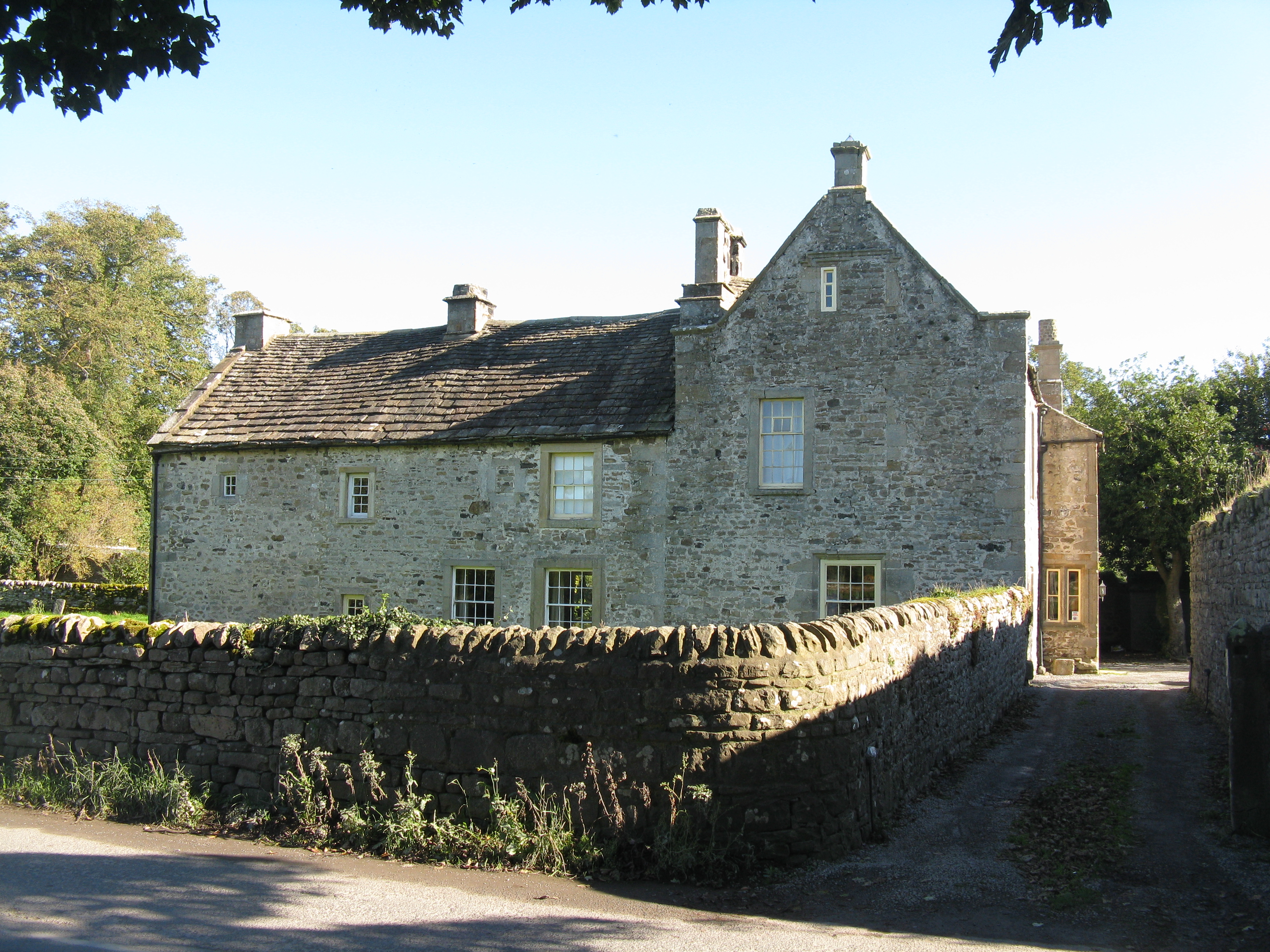
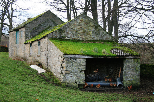
Catterick Moss Images

Images are sourced within 2km of 54.717329/-2.0040973 or Grid Reference NY9935. Thanks to Geograph Open Source API. All images are credited.

Moor House beside B6278 Moor House is a small, deserted property beside the B6278 south of Stanhope. Scurfield House is partly hidden by the right hand tree.
Moor House beside B6278
Moor House is a small, deserted property beside the B6278 south of Stanhope. Scurfield House is partly hidden by the right hand tree.
Archaeological dig north of Bollihope Burn A group led from Newcastle University had excavated what was thought to be a seventeenth century dwelling or possibly an old mine shop on the west side of an enclosure north of Bollihope Burn. When the image was recorded the digging out had been completed; the on-going activity was to re-cover what had been exposed and to reinstate the site. Beyond the dig site grassy slopes rise to the north-west and the ridge leading to Carrs Top.
Archaeological dig north of Bollihope Burn
A group led from Newcastle University had excavated what was thought to be a seventeenth century dwelling or possibly an old mine shop on the west side of an enclosure north of Bollihope Burn. When the image was recorded the digging out had been completed; the on-going activity was to re-cover what had been exposed and to reinstate the site. Beyond the dig site grassy slopes rise to the north-west and the ridge leading to Carrs Top.
Frozen pool south of Scot Hill West from Catterick - the County Durham hill not the Yorkshire garrison town -  lies Scot Hill which is in view immediately beyond the pool - the merest disturbance of a contour line! In the distance is Collier Law on the north side of the Wear Valley.
Frozen pool south of Scot Hill
West from Catterick - the County Durham hill not the Yorkshire garrison town - lies Scot Hill which is in view immediately beyond the pool - the merest disturbance of a contour line! In the distance is Collier Law on the north side of the Wear Valley.
Bollihope quarry, disused
Moorland
Moorland
Disused quarries by Bollihope Burn
Bollihope Shield lead mines (disused)
Road to Bollihope Shield Farm carrying public footpath
Woodland alongside Bollihope Burn
The B6278 road to Stanhope winding up Bridget Hill
The B6278 Stanhope to Eggleston Road (1)
Benchmark on a Dry Stone Wall
Improved Pasture, Catterick Moss
Moorland above Moor Rigg
Enclosure above the Howden Burn
Bollihope Burn Looking downstream along the burn which flows into the Wear a few miles east of here.
Bollihope Burn
Looking downstream along the burn which flows into the Wear a few miles east of here.
Bollihope Quarry Old limestone quarry with bedding plane floor. Other quarries visible across the valley of Bollihope Burn.
Bollihope Quarry
Old limestone quarry with bedding plane floor. Other quarries visible across the valley of Bollihope Burn.
Summit area of Catterick Catterick is a hill on the north side of the valley, Bolli Hope; the slopes in the image descend that way. The trig point is at the summit of the hill at 426m; beyond there's a small cairn recorded at 425m. In the distance, left of centre in the image, is Carrs Top.
Summit area of Catterick
Catterick is a hill on the north side of the valley, Bolli Hope; the slopes in the image descend that way. The trig point is at the summit of the hill at 426m; beyond there's a small cairn recorded at 425m. In the distance, left of centre in the image, is Carrs Top.
Show me another place!

Catterick Moss is located at Grid Ref: NY9935 (Lat: 54.717329, Lng: -2.0040973)

Unitary Authority: County Durham

Police Authority: Durham

What 3 Words

///tailing.train.grapevine. Near Stanhope, Co. Durham

Related Wikis

Hill End, County Durham

Hill End is a village in the civil parish of Stanhope, in County Durham, England. It is situated on the south side of Weardale, near Frosterley. ��2�...

Cornish Hush Mine

The Cornish Hush Mine was a British lead ore and fluorspar mine in Weardale. == Location == The mine was located in the Howden Burn valley in the Bollihope...

Bridge End, County Durham

Bridge End is a hamlet in the civil parish of Stanhope, in County Durham, England. It is situated on the south bank of the River Wear, on the other side...

Unthank, Stanhope

Unthank is a collection of houses in the civil parish of Stanhope, in County Durham, England. Unthank can be found just over Stanhope Ford and at the bottom...

Shittlehope

Shittlehope is a hamlet in the civil parish of Stanhope, in County Durham, England. It is situated on the north side of Weardale between Stanhope and Frosterley...

Rogerley Quarry

Rogerley Quarry is a Site of Special Scientific Interest in the Wear Valley district of west County Durham, England. It lies on the edge of the valley...

White Kirkley

White Kirkley is a small village in the civil parish of Stanhope, in County Durham, England. It's situated on the south side of Weardale, opposite Frosterley...

West Newlandside Meadows

West Newlandside Meadows is a Site of Special Scientific Interest in the Wear Valley district of County Durham, England. It lies 3 km south-west of the...

Nearby Amenities

Located within 500m of 54.717329,-2.0040973
Catterick Moss
Ele: 426.46
Image: https://www.geograph.org.uk/photo/5836606
Man Made: survey_point
Natural: peak
Ref: NZ42T008
Source: npe
Tpuk Ref: TP2051
Lat/Long: 54.7184369/-2.0096442
Hunting Stand
Hunting Stand: grouse_butt
Lat/Long: 54.7138966/-2.0071211
Hunting Stand
Hunting Stand: grouse_butt
Lat/Long: 54.7142824/-2.0070326
Hunting Stand
Hunting Stand: grouse_butt
Lat/Long: 54.7146187/-2.0069709
Hunting Stand
Hunting Stand: grouse_butt
Lat/Long: 54.7149177/-2.0069066
Hunting Stand
Hunting Stand: grouse_butt
Lat/Long: 54.7152291/-2.0068368
Hunting Stand
Hunting Stand: grouse_butt
Lat/Long: 54.7155746/-2.0067617
Hunting Stand
Hunting Stand: grouse_butt
Lat/Long: 54.7159108/-2.0066947
Hunting Stand
Hunting Stand: grouse_butt
Lat/Long: 54.7162981/-2.0066115
Hunting Stand
Hunting Stand: grouse_butt
Lat/Long: 54.7182998/-2.0016897
Hunting Stand
Hunting Stand: grouse_butt
Lat/Long: 54.7186778/-2.0015556
Hunting Stand
Hunting Stand: grouse_butt
Lat/Long: 54.7190341/-2.0014215
Hunting Stand
Hunting Stand: grouse_butt
Lat/Long: 54.7194121/-2.0012766
Hunting Stand
Hunting Stand: grouse_butt
Lat/Long: 54.7197716/-2.0011586
Hunting Stand
Hunting Stand: grouse_butt
Lat/Long: 54.7201/-2.0010352
Hunting Stand
Hunting Stand: grouse_butt
Lat/Long: 54.7204966/-2.0009011
Hunting Stand
Hunting Stand: grouse_butt
Lat/Long: 54.7208808/-2.000767
Hunting Stand
Hunting Stand: grouse_butt
Lat/Long: 54.7211937/-2.0006275
Hunting Stand
Hunting Stand: grouse_butt
Lat/Long: 54.7147017/-2.0040753
Hunting Stand
Hunting Stand: grouse_butt
Lat/Long: 54.7150021/-2.0040753
Hunting Stand
Hunting Stand: grouse_butt
Lat/Long: 54.7152106/-2.0041054
Hunting Stand
Hunting Stand: grouse_butt
Lat/Long: 54.7154812/-2.004114
Hunting Stand
Hunting Stand: grouse_butt
Lat/Long: 54.7159404/-2.004157
Hunting Stand
Hunting Stand: grouse_butt
Lat/Long: 54.7164269/-2.004187
Hunting Stand
Hunting Stand: grouse_butt
Lat/Long: 54.714523/-2.0040023
The data included in this document is from www.openstreetmap.org. The data is made available under ODbL.

Have you been to Catterick Moss?

Leave your review of Catterick Moss below (or comments, questions and feedback).