Deer Gallows Flat
Downs, Moorland in Yorkshire Craven
England
Deer Gallows Flat
Deer Gallows Flat is a picturesque area located in the heart of Yorkshire, encompassing both the Downs and Moorland regions. This stunning landscape spans over several square miles, offering visitors a diverse range of natural beauty and a rich tapestry of flora and fauna.
The area gets its name from the ancient practice of deer hunting, where gallows were erected to hang the carcasses of the hunted animals. Although deer hunting is no longer practiced, the name has persisted through the years, adding a touch of history to the area.
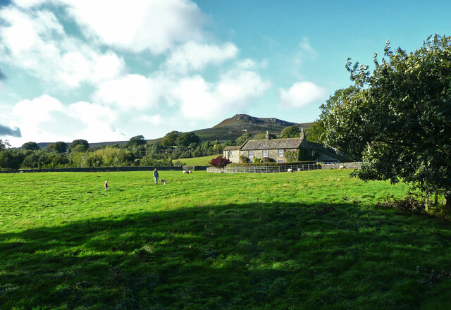
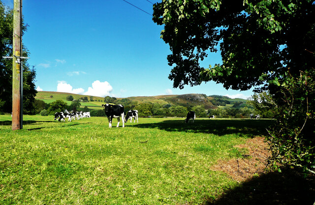
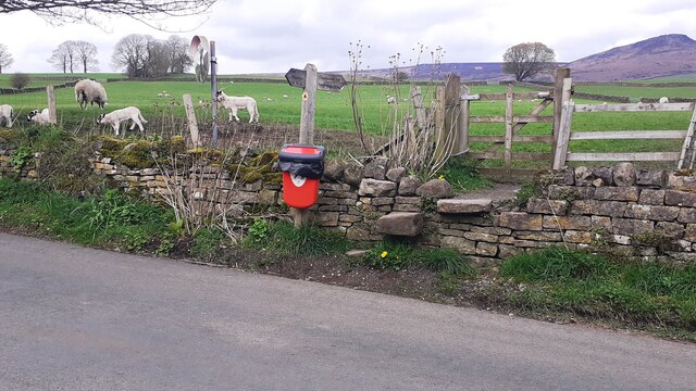
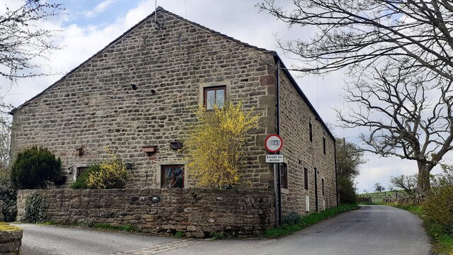
The Downs section of Deer Gallows Flat is characterized by rolling hills, vast open fields, and patches of dense woodland. Visitors can enjoy breathtaking panoramic views of the surrounding countryside, with its patchwork of green fields and charming stone walls. The area is also home to an abundance of wildflowers, attracting a variety of insects and butterflies during the warmer months.
Moving towards the Moorland, the landscape transforms into a rugged and untamed terrain. Here, visitors can explore vast expanses of heather-covered moors, dotted with rocky outcrops and ancient stone formations. The Moorland is a haven for wildlife, including various bird species such as grouse and peregrine falcons, as well as wild deer and rabbits.
Deer Gallows Flat is a popular destination for outdoor enthusiasts, offering numerous walking trails and hiking routes that cater to all levels of fitness and experience. Whether visitors are seeking a leisurely stroll or a challenging hike, this area has something to offer everyone.
Overall, Deer Gallows Flat in Yorkshire is a captivating and diverse landscape, combining the charm of the Downs with the untamed beauty of the Moorland, making it a must-visit destination for nature lovers and explorers alike.
If you have any feedback on the listing, please let us know in the comments section below.
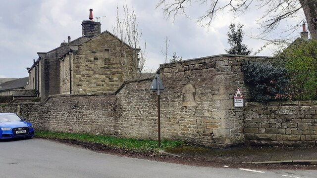
Deer Gallows Flat Images
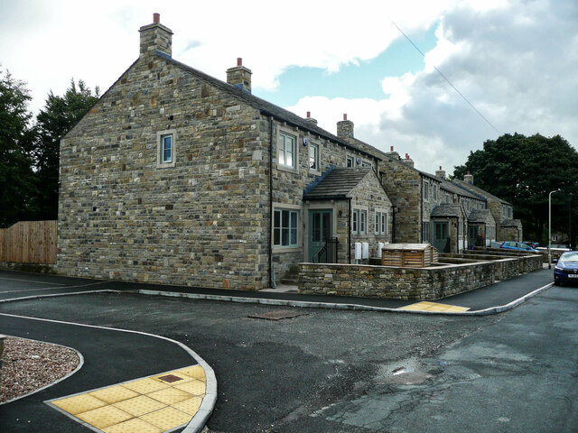
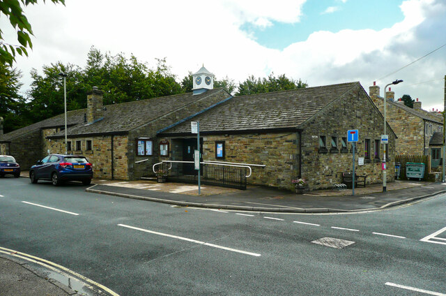
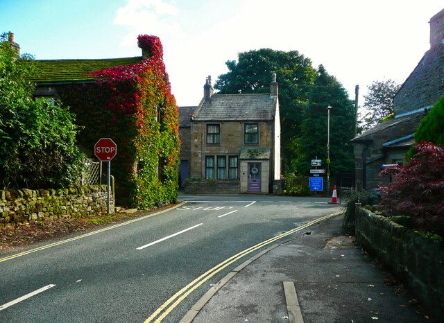
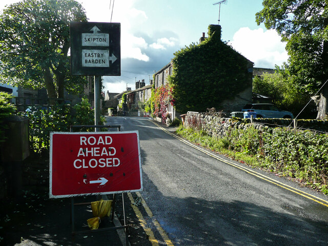
Images are sourced within 2km of 53.99392/-2.0042959 or Grid Reference SD9955. Thanks to Geograph Open Source API. All images are credited.


Deer Gallows Flat is located at Grid Ref: SD9955 (Lat: 53.99392, Lng: -2.0042959)
Division: West Riding
Administrative County: North Yorkshire
District: Craven
Police Authority: North Yorkshire
What 3 Words
///dozen.adopting.oxidation. Near Embsay, North Yorkshire
Nearby Locations
Related Wikis
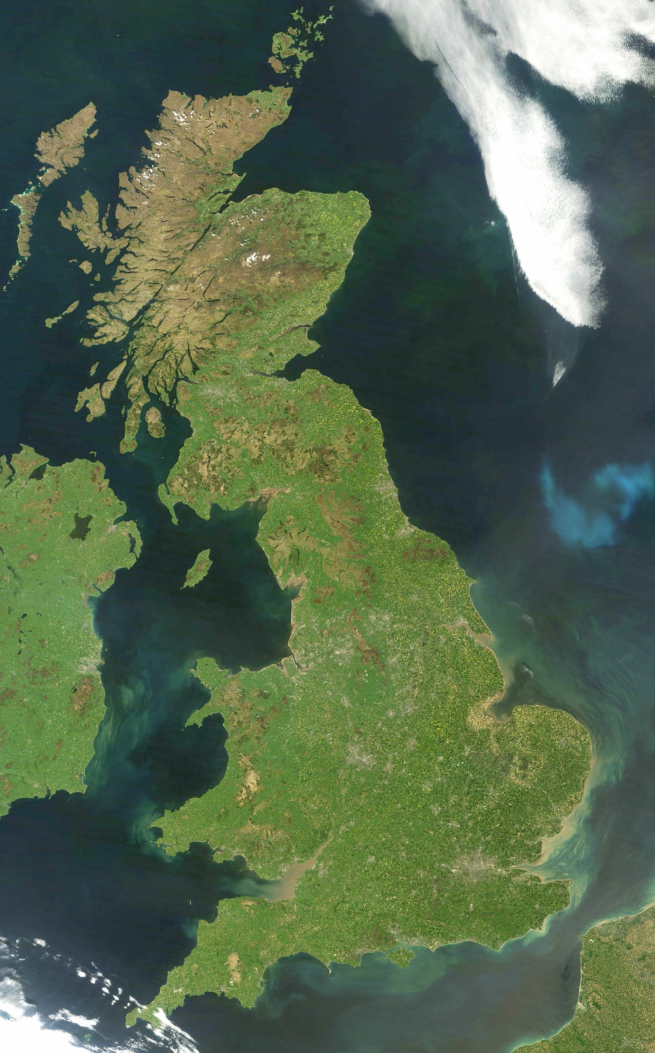
Great Britain
Great Britain is an island in the North Atlantic Ocean off the north-west coast of continental Europe, consisting of England, Scotland and Wales. With...

Yorkshire dialect
The Yorkshire dialect (also known as Broad Yorkshire, Tyke, Yorkie, or Yorkshire English) is a dialect of English, or continuum of dialects, spoken in...

Yorkshire
Yorkshire ( YORK-shər, -sheer) is an area of Northern England and an historic county. It includes the ceremonial counties of East Riding of Yorkshire...

Embsay Reservoir
Embsay Reservoir is located above the village of Embsay, near Skipton in the Yorkshire Dales in North Yorkshire, England. It is owned by Yorkshire Water...
Nearby Amenities
Located within 500m of 53.99392,-2.0042959Have you been to Deer Gallows Flat?
Leave your review of Deer Gallows Flat below (or comments, questions and feedback).