In Fell
Downs, Moorland in Yorkshire Craven
England
In Fell

In Fell, Yorkshire is a picturesque region located in the northern part of England, encompassing the Downs and Moorland areas. The region is renowned for its stunning natural beauty and diverse landscapes, attracting visitors from all over the world.
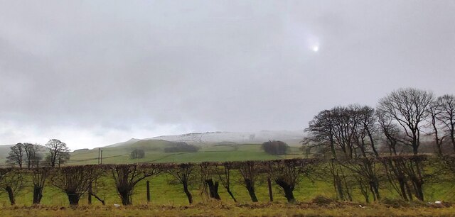
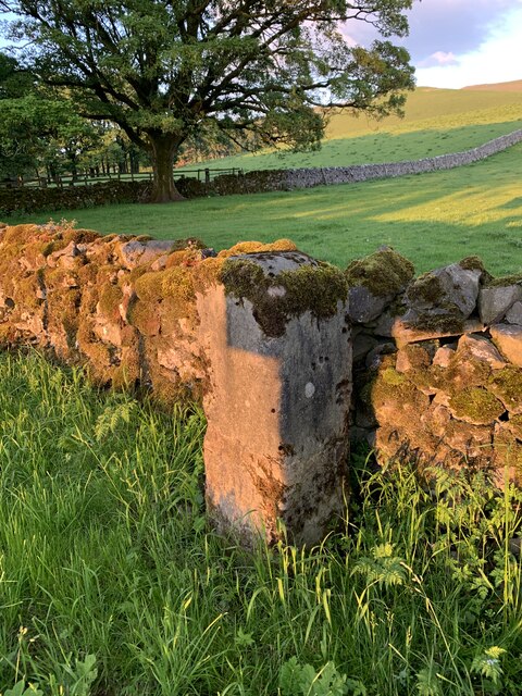
The Downs, characterized by rolling hills and vast open spaces, offer breathtaking views of the surrounding countryside. Visitors can enjoy peaceful walks along well-maintained footpaths, taking in the beauty of the lush green valleys and meadows. The Downs are also home to a variety of wildlife, including rare bird species, making it a haven for nature enthusiasts and birdwatchers.
The Moorland, on the other hand, presents a rugged and wild terrain, dominated by heather-covered hills and rocky outcrops. This untamed landscape provides a unique and striking contrast to the tranquil Downs. Hikers and adventure seekers can explore the moorland through a network of trails and paths, discovering hidden waterfalls, ancient ruins, and picturesque villages along the way.
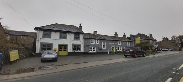
In Fell is rich in history and cultural heritage, with numerous historic sites and landmarks scattered throughout the region. Visitors can explore ancient castles, such as Fell Castle, which dates back to the medieval period. The region is also dotted with charming villages, where visitors can experience traditional Yorkshire hospitality and sample local cuisine.
In Fell, Yorkshire offers a wide range of outdoor activities, including cycling, horseback riding, and fishing. The region is well-equipped with facilities and amenities to cater to the needs of tourists, with a variety of accommodations, restaurants, and visitor centers available.
Overall, In Fell, Yorkshire is a captivating destination that combines natural beauty, rich history, and outdoor adventures, making it an ideal place for a memorable vacation.
If you have any feedback on the listing, please let us know in the comments section below.
In Fell Images
Images are sourced within 2km of 54.030337/-2.0147726 or Grid Reference SD9959. Thanks to Geograph Open Source API. All images are credited.


In Fell is located at Grid Ref: SD9959 (Lat: 54.030337, Lng: -2.0147726)
Division: West Riding
Administrative County: North Yorkshire
District: Craven
Police Authority: North Yorkshire
What 3 Words
///pouting.sensibly.play. Near Grassington, North Yorkshire
Nearby Locations
Related Wikis

Thorpe Fell Top
Thorpe Fell Top is the top of the hill of Burnsall and Thorpe Fell in the Yorkshire Dales, itself forming part of a larger wedge of ground between Wharfedale...

St Peter's Church, Rylstone
St Peter's Church is in the village of Rylstone, North Yorkshire, England. It is an active Anglican parish church in the deanery of Skipton, the archdeaconry...

Rylstone
Rylstone is a village and civil parish in the Craven district of North Yorkshire, England. It is situated very near to Cracoe and about 6 miles south west...

Swinden Quarry
Swinden Quarry is 0.62 miles (1 km) north of the village of Cracoe, and 1.9 miles (3 km) south-west of Grassington in North Yorkshire, England. It is owned...

Rylstone railway station
Rylstone railway station was a railway station that served the small village of Rylstone in North Yorkshire, England. It was built by the Yorkshire Dales...
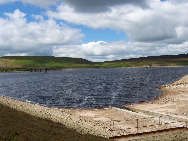
Upper Barden Reservoir
Upper Barden Reservoir is an upland fresh water reservoir, one of two reservoirs that collect water from Barden Moor, and dam Barden Beck, a tributary...

Cracoe
Cracoe is a small village and civil parish in the Craven district of North Yorkshire, England. It is situated near to Rylstone and about 6 miles south...

Hetton, North Yorkshire
Hetton is a small Dales village in the civil parish of Hetton-cum-Bordley, in the North Yorkshire district of North Yorkshire, England, situated 5.75 miles...
Nearby Amenities
Located within 500m of 54.030337,-2.0147726Have you been to In Fell?
Leave your review of In Fell below (or comments, questions and feedback).