Wasset Fell

Downs, Moorland in Yorkshire Richmondshire

England

Wasset Fell

East Lane House
East Lane House Credit: Anthony Parkes

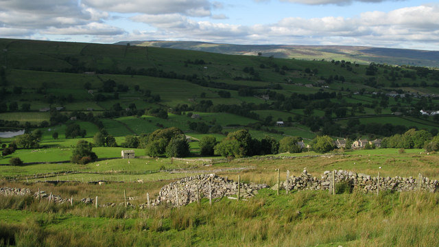
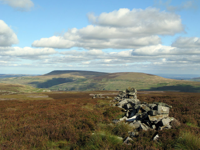
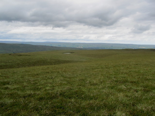
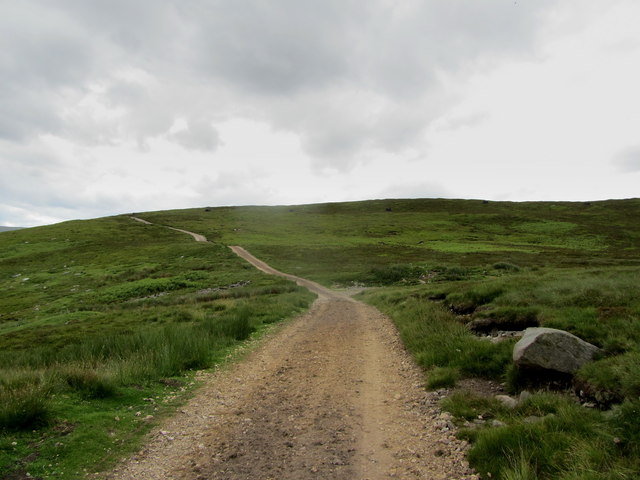
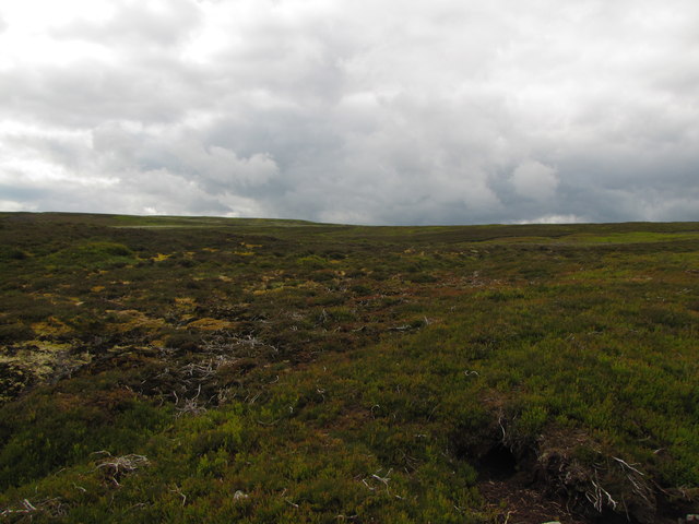
Wasset Fell is a prominent geographical feature located in the county of Yorkshire, England. Situated in the heart of the Yorkshire Dales National Park, it is a vast expanse of rolling hills, downs, and moorland. Rising to an elevation of approximately 520 meters (1,706 feet), the fell offers breathtaking panoramic views of the surrounding landscape.

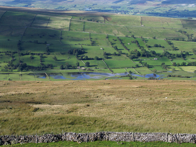
Covering an area of approximately 10 square kilometers (4 square miles), Wasset Fell is characterized by its undulating terrain, dotted with limestone outcrops and scattered vegetation. The area is primarily composed of heather moorland, providing a rich habitat for various flora and fauna species. Visitors to the fell can expect to encounter a diverse range of wildlife, including birds of prey, such as peregrine falcons and red kites, as well as small mammals like hares and stoats.

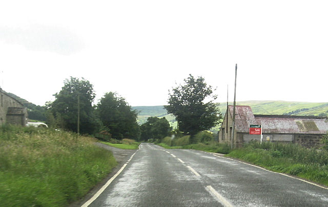
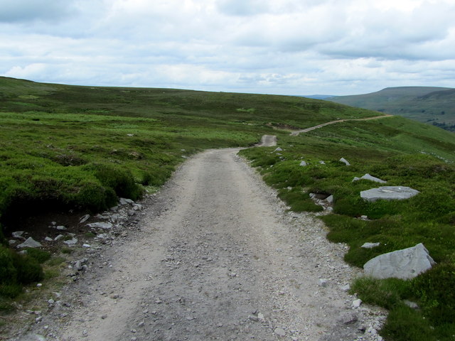
The fell is crisscrossed by a network of footpaths and trails, making it a popular destination for hikers and nature enthusiasts. The paths offer access to the fell's many notable landmarks, such as the limestone pavements, which are unique geological formations created by the erosion of limestone over millions of years. These pavements are a striking feature of the fell and provide an otherworldly appearance.

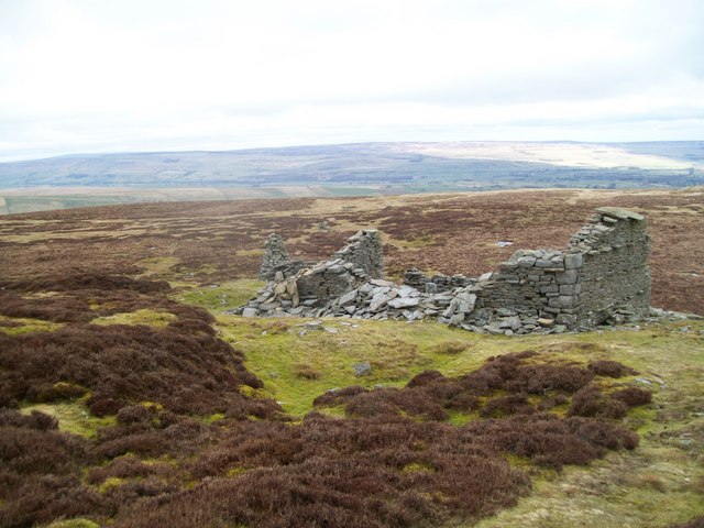
Wasset Fell is also home to several ancient archaeological sites, including prehistoric burial mounds and remnants of stone circles, which provide a glimpse into the area's rich history.

Overall, Wasset Fell presents a captivating and diverse landscape, offering visitors the opportunity to explore and appreciate the natural beauty and cultural heritage of Yorkshire's downs and moorland.

If you have any feedback on the listing, please let us know in the comments section below.
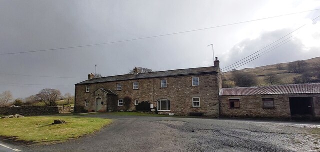
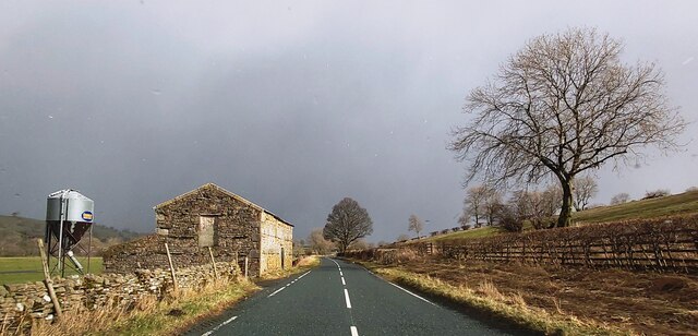
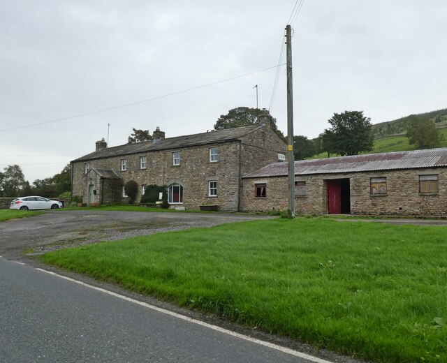
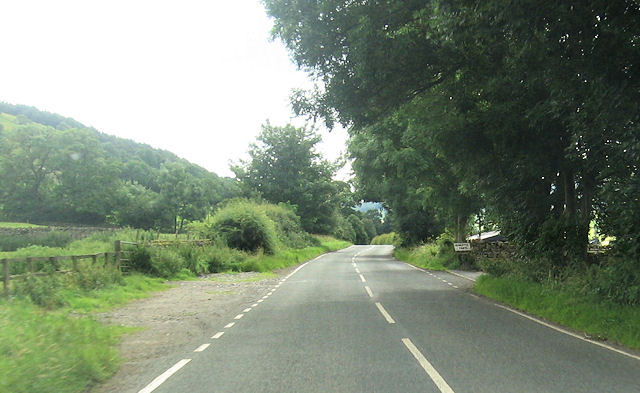
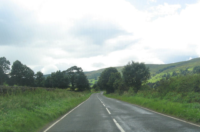
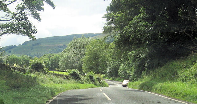
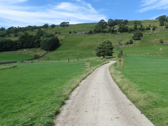
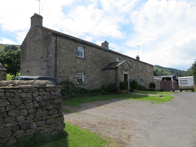
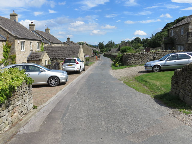
Wasset Fell Images

Images are sourced within 2km of 54.248633/-2.0149593 or Grid Reference SD9983. Thanks to Geograph Open Source API. All images are credited.

East Lane House
East Lane House
B6160 in Bishopdale
B6160 in Bishopdale
East Lane House
East Lane House
Ruin on Wasset Fell The ruined remains of one of the buildings that was part of the mine workings, now disused.
Ruin on Wasset Fell
The ruined remains of one of the buildings that was part of the mine workings, now disused.
Fields near to Newbiggin in Bishopdale Wasset Fell Road is a track climbing from the village of Newbiggin, southwards on to the hill ridge rising eventually to Buckden Pike. The roofs of Newbiggin are seen here over enclosures of rough pasture from the descent of the road.
Fields near to Newbiggin in Bishopdale
Wasset Fell Road is a track climbing from the village of Newbiggin, southwards on to the hill ridge rising eventually to Buckden Pike. The roofs of Newbiggin are seen here over enclosures of rough pasture from the descent of the road.
Roughly grassed enclosure below Wasset Fell Road Wasset Fell road descends to Newbiggin from the high ridge on the south-east side of Bishopdale. The view here is from the road at Floutgate Scar over fields to the valley bottom where flooding testifies to the extent of recent rain.
Roughly grassed enclosure below Wasset Fell Road
Wasset Fell road descends to Newbiggin from the high ridge on the south-east side of Bishopdale. The view here is from the road at Floutgate Scar over fields to the valley bottom where flooding testifies to the extent of recent rain.
Ruined wall north-east of Naughtberry Hill A ruined wall crossing the heather moor with Pen Hill seen distantly across Waldendale.
Ruined wall north-east of Naughtberry Hill
A ruined wall crossing the heather moor with Pen Hill seen distantly across Waldendale.
B6160 at East Lane House
Howesyke Farm entrance from B6160
B6160 just west of West Lane House
B6160 from New Gill entrance
Driveway to Howesyke Viewed from the south-east.
Driveway to Howesyke
Viewed from the south-east.
East Lane House Viewed from the road (B6160) to the north.
East Lane House
Viewed from the road (B6160) to the north.
Modern housing at Hargarth Farm, Newbiggin Viewed from the south-west.
Modern housing at Hargarth Farm, Newbiggin
Viewed from the south-west.
On Bishopdale Edge Bleak moorland on the northern flanks of Naughtberry Hill - looking across an un-named miniature tarn towards distant Wensleydale.
On Bishopdale Edge
Bleak moorland on the northern flanks of Naughtberry Hill - looking across an un-named miniature tarn towards distant Wensleydale.
Shooting Track on Wild Gath (1) Looking north east along a track that gives access to grouse shooting activities on the moors below Naughtberry Hill
Shooting Track on Wild Gath (1)
Looking north east along a track that gives access to grouse shooting activities on the moors below Naughtberry Hill
Shooting Track on Wild Gath (2) Looking south west along the shooting track on Wild Gath
Shooting Track on Wild Gath (2)
Looking south west along the shooting track on Wild Gath
Open Moorland on Naughtberry Hill
Show me another place!

Wasset Fell is located at Grid Ref: SD9983 (Lat: 54.248633, Lng: -2.0149593)

Division: North Riding

Administrative County: North Yorkshire

District: Richmondshire

Police Authority: North Yorkshire

What 3 Words

///demoted.dozen.pranced. Near Leyburn, North Yorkshire

Nearby Locations

Wasset Fell

Related Wikis

Burton-cum-Walden

Burton-cum-Walden is a civil parish in North Yorkshire, England, in the Yorkshire Dales National Park. It had a population of 303 according to the 2011...

Newbiggin, south Wensleydale

Newbiggin is a village and civil parish in Bishopdale, a side dale on the south side of Wensleydale, in the Yorkshire Dales in North Yorkshire, England...

Walden, North Yorkshire

Walden is a dale and hamlet in the Yorkshire Dales, North Yorkshire, England. The dale is a side dale of Wensleydale, sometimes known as Waldendale or...

Walden Head

Walden Head is a hamlet in the Yorkshire Dales, North Yorkshire. It lies 5 miles (8 km) of Aysgarth and to the north is a similar village Walden. The village...

Thoralby

Thoralby is a village and civil parish in the Richmondshire district of North Yorkshire, England. It lies south of Aysgarth, is within a mile of both Newbiggin...

Castle Dykes Henge

Castle Dykes Henge is a Class I Neolithic henge earthwork in the Yorkshire Dales National Park in North Yorkshire, England, situated between the villages...

Bishopdale, North Yorkshire

Bishopdale is a dale in the Yorkshire Dales National Park in North Yorkshire, England. The dale is a side dale on the south side of Wensleydale, and extends...

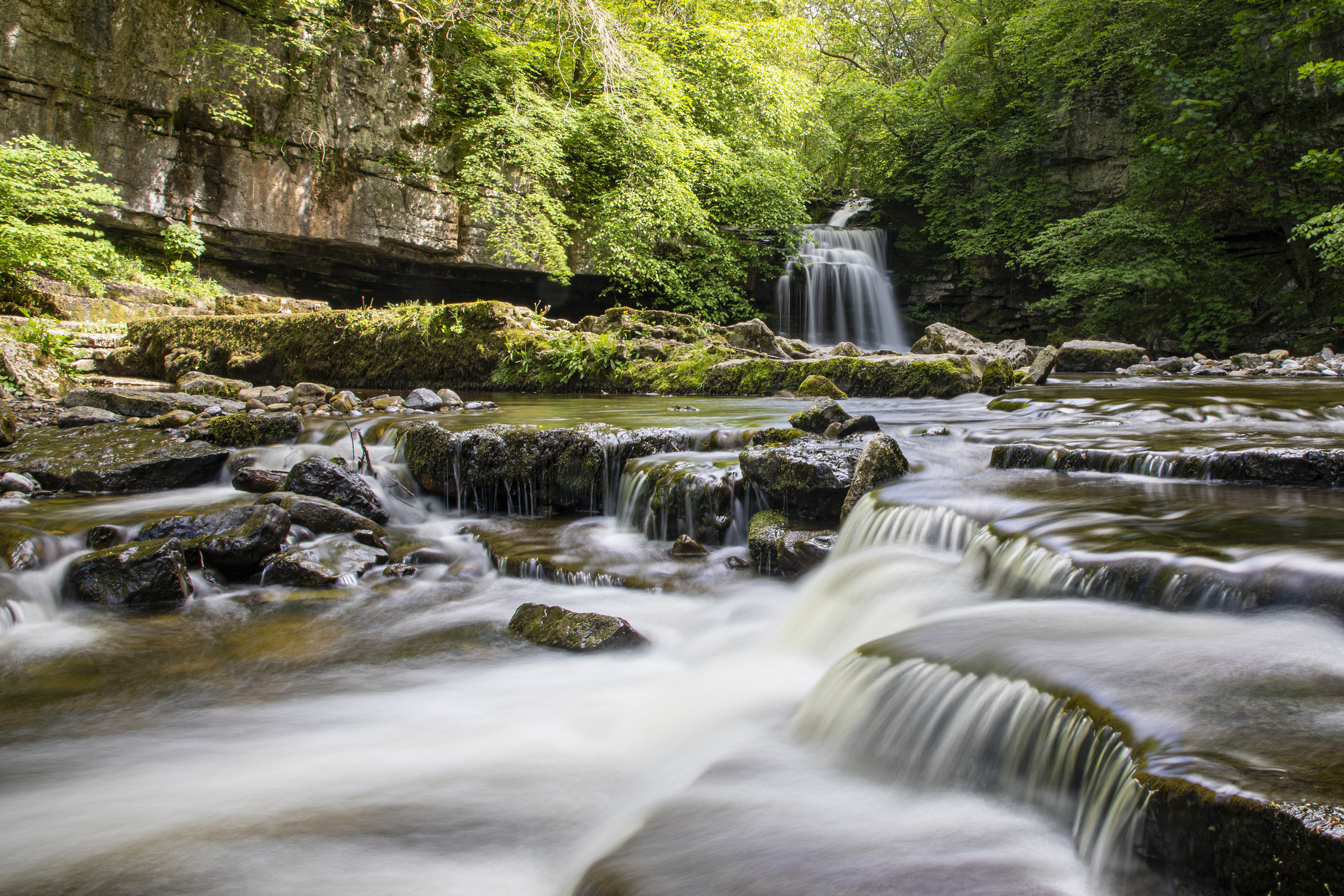
Cauldron Falls (North Yorkshire)

Cauldron Falls (also known as West Burton falls), is a series of waterfalls on Walden Beck in the village of West Burton, North Yorkshire, England. It...

Nearby Amenities

Located within 500m of 54.248633,-2.0149593
Wasset Fell
Ele: 490.7
Natural: peak
Source: NPE
Lat/Long: 54.2467671/-2.0177629
Wasset Fell
Natural: fell
Source: NPE
Lat/Long: 54.2485491/-2.0167099
old shafts
Historic: mine
Source: NPE
Lat/Long: 54.2449382/-2.0154224
Historic: mine_shaft
Source: NPE
Lat/Long: 54.2441859/-2.0146499
Historic: mine_shaft
Source: NPE
Lat/Long: 54.2445119/-2.0143924
Historic: mine_shaft
Source: NPE
Lat/Long: 54.2447627/-2.0148216
Historic: mine_shaft
Source: NPE
Lat/Long: 54.2450636/-2.0146928
Historic: mine_shaft
Source: NPE
Lat/Long: 54.2450636/-2.0142637
Historic: mine_shaft
Source: NPE
Lat/Long: 54.2454397/-2.0140491
Historic: mine_shaft
Source: NPE
Lat/Long: 54.2454397/-2.013105
Historic: mine_shaft
Source: NPE
Lat/Long: 54.2456905/-2.0127187
Historic: mine_shaft
Source: NPE
Lat/Long: 54.245841/-2.0122467
Historic: mine_shaft
Source: NPE
Lat/Long: 54.2452642/-2.0116029
Historic: mine_shaft
Source: NPE
Lat/Long: 54.2451388/-2.0121608
Historic: mine_shaft
Source: NPE
Lat/Long: 54.2449884/-2.0127187
Historic: mine_shaft
Source: NPE
Lat/Long: 54.245189/-2.0128046
Historic: mine_shaft
Source: NPE
Lat/Long: 54.2454397/-2.0122896
Historic: mine_shaft
Source: NPE
Lat/Long: 54.2456153/-2.0119033
Historic: mine_shaft
Source: NPE
Lat/Long: 54.2470195/-2.0150791
Lady Wasset Well
Natural: spring
Source: NPE
Lat/Long: 54.2463425/-2.0150362
Man Made: cairn
Lat/Long: 54.246881/-2.0177473
The data included in this document is from www.openstreetmap.org. The data is made available under ODbL.

Have you been to Wasset Fell?

Leave your review of Wasset Fell below (or comments, questions and feedback).