Back Forest

Downs, Moorland in Staffordshire Staffordshire Moorlands

England

Back Forest

Gradbach, Peak District An elevated view from a road to the North.
Gradbach, Peak District Credit: Oliver Mills

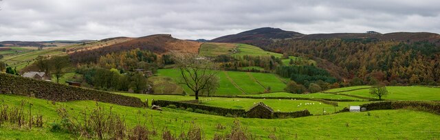
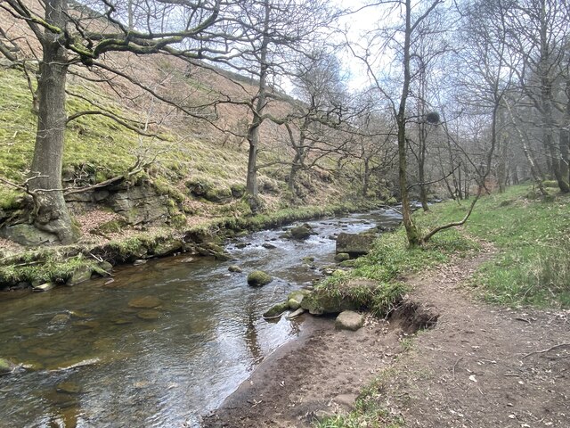
Black Forest, located in Staffordshire, is a picturesque area characterized by its diverse landscape of downs and moorland. Stretching over a vast expanse, it offers visitors a unique blend of natural beauty and historical significance.

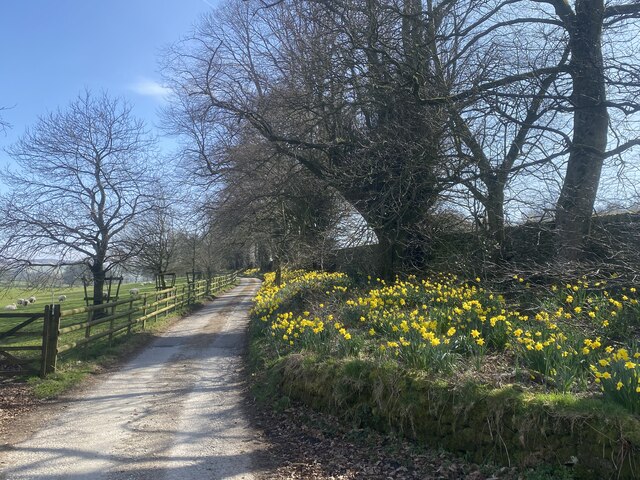
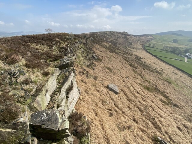
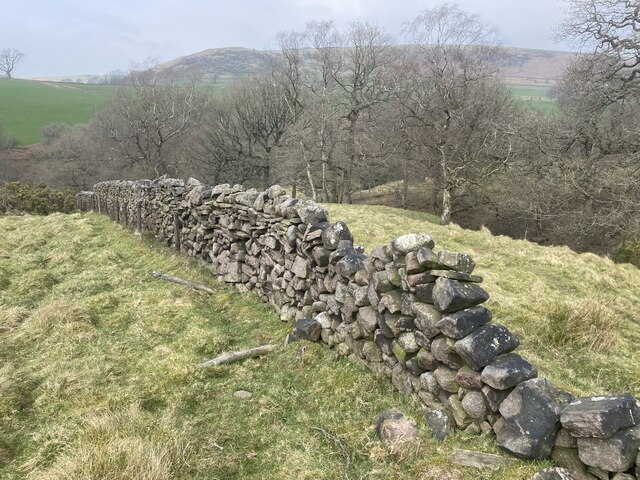
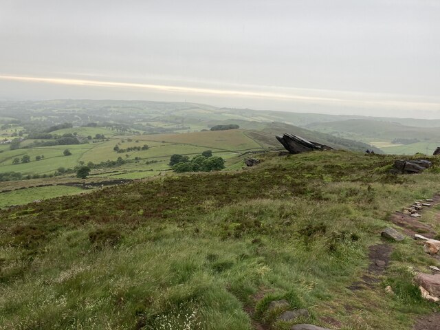
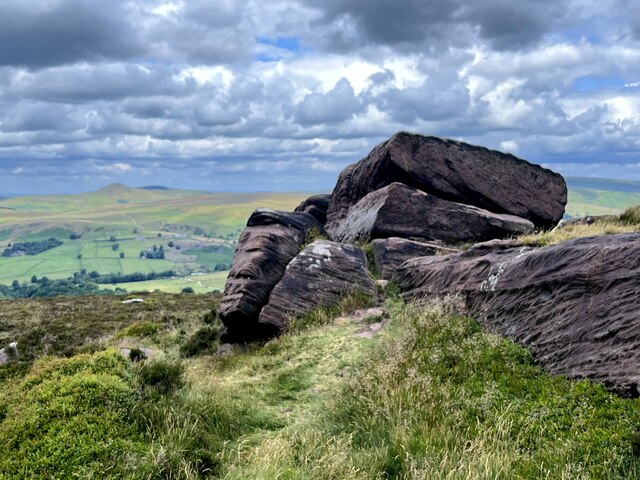
The downs of Black Forest are characterized by rolling hills and open grasslands, creating a serene and tranquil atmosphere. Visitors can explore the area by foot or bike, following the numerous trails that wind through the downs. The views from the top of the hills are breathtaking, with panoramic vistas of the surrounding countryside.

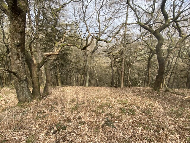
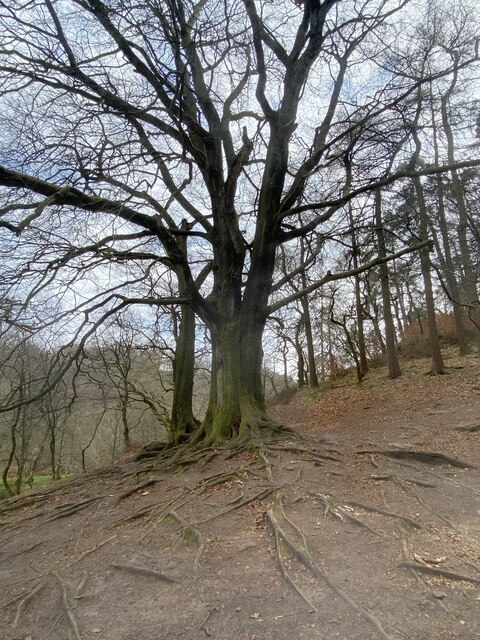
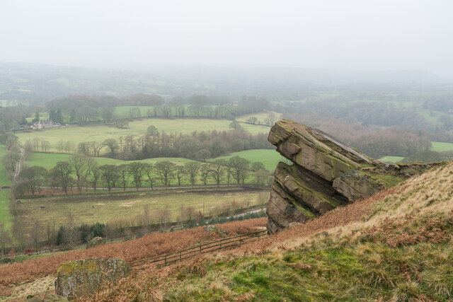
In contrast, the moorland of Black Forest offers a rugged and wild landscape. Here, visitors can immerse themselves in the untamed beauty of nature, with vast stretches of heather and peat bogs. The moorland is home to a variety of wildlife, including birds, reptiles, and small mammals, making it a haven for nature enthusiasts and birdwatchers.

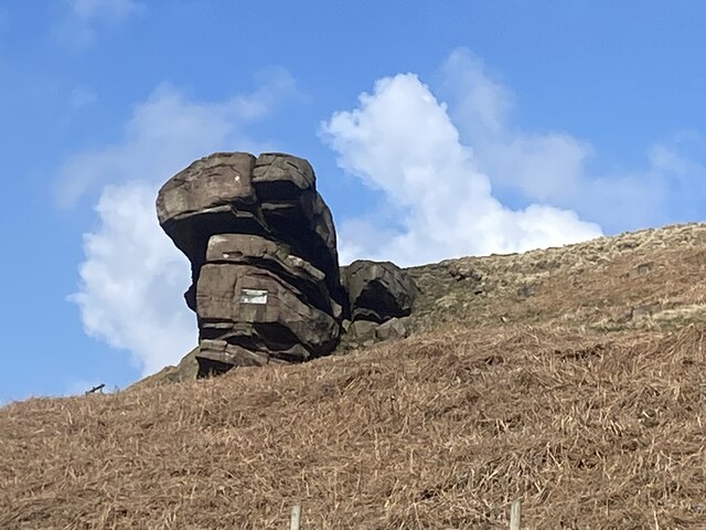
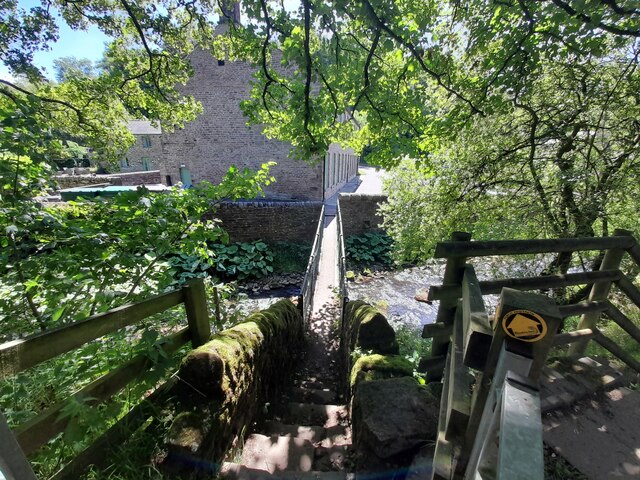
Black Forest also has historical significance, with several ancient landmarks scattered throughout the area. Stone circles, burial mounds, and ancient pathways provide glimpses into the area's rich past, allowing visitors to step back in time and imagine what life was like for those who once inhabited these lands.

Overall, Black Forest, Staffordshire, offers a diverse and captivating experience for nature lovers and history enthusiasts alike. With its stunning downs and untamed moorland, it is a place where visitors can immerse themselves in the beauty of the natural world while also exploring the remnants of the past.

If you have any feedback on the listing, please let us know in the comments section below.
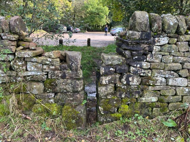
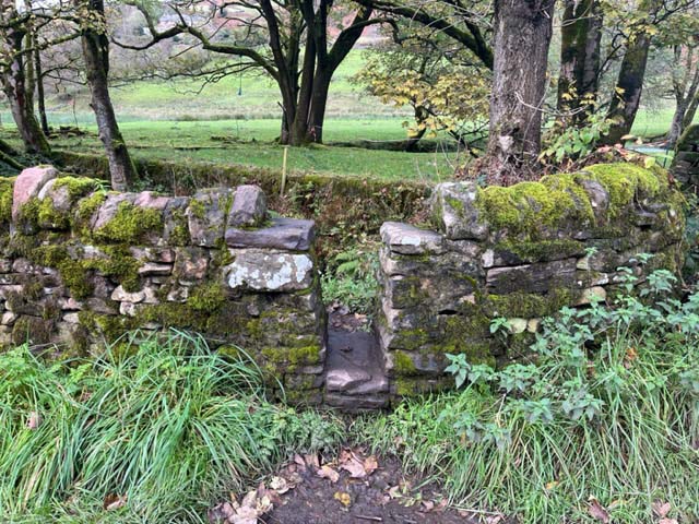
Back Forest Images

Images are sourced within 2km of 53.186205/-2.0214344 or Grid Reference SJ9865. Thanks to Geograph Open Source API. All images are credited.

Gradbach, Peak District An elevated view from a road to the North.
Gradbach, Peak District
An elevated view from a road to the North.
Helmesley, Peak District The A54 is a short distance ahead. The Sutton Common BT Tower is also visible in the distance.
Helmesley, Peak District
The A54 is a short distance ahead. The Sutton Common BT Tower is also visible in the distance.
Signs of spring
Signs of spring
Hanging Stone A gritstone outcrop which is a familiar sight to walkers on  the Back Forest ridge.
Hanging Stone
A gritstone outcrop which is a familiar sight to walkers on the Back Forest ridge.
Forest Wood Sloping steeply down to the River Dane.
Forest Wood
Sloping steeply down to the River Dane.
Back Forest escarpment
Tree with exposed roots At the edge of Forest Wood by the River Dane.
Tree with exposed roots
At the edge of Forest Wood by the River Dane.
River Dane From the Staffordshire bank.
River Dane
From the Staffordshire bank.
Back Dane Owned by a charitable trust, Back Dane has been providing accommodation for groups exploring the Peak District for over half a century.
Back Dane
Owned by a charitable trust, Back Dane has been providing accommodation for groups exploring the Peak District for over half a century.
In need of repair Drystone wall above the River Dane.
In need of repair
Drystone wall above the River Dane.
Approaching Roach End
Footbridge over the Dane at Gradbach Mill
Ruined sheepfold at Goosetree Farm
Hanging Stone, Danebridge There are two plaques 

One reads :- 

Beneath this Rock
August 1st 1874 was buried
BURKE a noble mastiff black and tan
faithful as woman
braver than man
a gun and a ramble
his hearts desire
with the friend of his life
the Swythamley squire


The other :- 
LT COL HENRY COURTNEY BROCKLEHURST 10TH ROYAL HUSSARS
AND PILOT IN THE ROYAL FLYING CORPS 1916-1918
GAME WARDEN OF THE SUDAN
BORN AT SWYTHAMLEY MAY 27TH 1888
KILLED ON ACTIVE SERVICE IN BURMA
ON COMMANDO JUNE 1942

Horses he loved and laughter, the sun, with spaces and the open air.
The trust of all dumb living things he won and never knew the luck too good to share.
His were the simple heart and open hand and honest faults he never strove to hide.
Problems of life he could not understand but as a man would wish to die, he died.
Now though he will not ride with us again, his merry spirit seems our comrade yet,
Freed from the power of weariness and pain, forbidding us to mourn or to forget....

Erected by his devoted brother 1949
Hanging Stone, Danebridge
There are two plaques One reads :- Beneath this Rock August 1st 1874 was buried BURKE a noble mastiff black and tan faithful as woman braver than man a gun and a ramble his hearts desire with the friend of his life the Swythamley squire The other :- LT COL HENRY COURTNEY BROCKLEHURST 10TH ROYAL HUSSARS AND PILOT IN THE ROYAL FLYING CORPS 1916-1918 GAME WARDEN OF THE SUDAN BORN AT SWYTHAMLEY MAY 27TH 1888 KILLED ON ACTIVE SERVICE IN BURMA ON COMMANDO JUNE 1942 Horses he loved and laughter, the sun, with spaces and the open air. The trust of all dumb living things he won and never knew the luck too good to share. His were the simple heart and open hand and honest faults he never strove to hide. Problems of life he could not understand but as a man would wish to die, he died. Now though he will not ride with us again, his merry spirit seems our comrade yet, Freed from the power of weariness and pain, forbidding us to mourn or to forget.... Erected by his devoted brother 1949
Gritstone outcrop on the Roaches
Stone Stile, Rushton Spencer Off Gradbach car park in Gradbach Mill Lane looking West from the car park.
The view to the car park is <a href="https://www.geograph.org.uk/photo/7638396">SJ9966 : Stone Stile, Rushton Spencer</a>.
Stone Stile, Rushton Spencer
Off Gradbach car park in Gradbach Mill Lane looking West from the car park. The view to the car park is SJ9966 : Stone Stile, Rushton Spencer.
Stone Stile, Rushton Spencer Off Gradbach car park in Gradbach Mill Lane looking East to the car park.
The view from is <a href="https://www.geograph.org.uk/photo/7638395">SJ9966 : Stone Stile, Rushton Spencer</a>.
Stone Stile, Rushton Spencer
Off Gradbach car park in Gradbach Mill Lane looking East to the car park. The view from is SJ9966 : Stone Stile, Rushton Spencer.
Stone Stile, Rushton Spencer Off Gradbach Mill Lane on Staffordshire footpath Quarnford 0.1812(a) looking North.
The view out to the lane is <a href="https://www.geograph.org.uk/photo/7639195">SJ9966 : Stone Stile, Rushton Spencer</a>.
Stone Stile, Rushton Spencer
Off Gradbach Mill Lane on Staffordshire footpath Quarnford 0.1812(a) looking North. The view out to the lane is SJ9966 : Stone Stile, Rushton Spencer.
Show me another place!

Back Forest is located at Grid Ref: SJ9865 (Lat: 53.186205, Lng: -2.0214344)

Administrative County: Staffordshire

District: Staffordshire Moorlands

Police Authority: Staffordshire

What 3 Words

///began.commended.chopper. Near Leek, Staffordshire

Related Wikis

Lud's Church

Lud's Church (sometimes written as Ludchurch) is a deep chasm penetrating the Millstone Grit bedrock created by a massive landslip on the hillside above...

Swythamley Hall

Swythamley Hall is a late 18th-century country house near Leek, Staffordshire which has been converted into four separate residences. It is a Grade II...

Allgreave

Allgreave is a village in Cheshire, England. It lies on the A54 (Buxton to Congleton) road, near to the border with Staffordshire. Allgreave Methodist...

The Roaches

The Roaches (from the French les roches – the rocks) is a prominent rocky ridge above Leek and Tittesworth Reservoir in the Staffordshire Peak District...

Wincle

Wincle is a village and civil parish in the Cheshire East district of Cheshire, England. It holds parish meetings, rather than parish council meetings...

St Michael's Church, Wincle

St Michael's Church is in the village of Wincle, Cheshire, England. It is an active Anglican parish church in the diocese of Chester, the archdeaconry...

Wildboarclough

Wildboarclough ( WIL-bə-kluf) is a village in the civil parish of Macclesfield Forest and Wildboarclough, in the Cheshire East district, in the ceremonial...

St Saviour's Church, Wildboarclough

St Saviour's Church is in the village of Wildboarclough, Cheshire, England. It is an active Anglican parish church in the deanery of Macclesfield, the...

Nearby Amenities

Located within 500m of 53.186205,-2.0214344
Information: guidepost
Material: wood
Tourism: information
Lat/Long: 53.1886721/-2.0164123
Information: guidepost
Material: wood
Tourism: information
Lat/Long: 53.1888789/-2.0162556
Lud's Church
Tourism: attraction
Wheelchair: no
Wikidata: Q6698667
Wikipedia: en:Lud's Church
Lat/Long: 53.1877885/-2.0207265
Information: guidepost
Material: wood
Tourism: information
Lat/Long: 53.1888902/-2.0239602
Ford: yes
Lat/Long: 53.1880097/-2.0152468
Information: guidepost
Tourism: information
Lat/Long: 53.1830168/-2.0198554
Information: guidepost
Tourism: information
Lat/Long: 53.1858521/-2.0175243
Barrier: stile
Lat/Long: 53.182961/-2.0198078
Information: guidepost
Tourism: information
Lat/Long: 53.1842833/-2.0195058
Information: guidepost
Tourism: information
Lat/Long: 53.1889031/-2.018106
Noexit: yes
Lat/Long: 53.1871587/-2.0201266
Information: guidepost
Tourism: information
Lat/Long: 53.1859132/-2.0167256
Information: guidepost
Tourism: information
Lat/Long: 53.1890542/-2.0156894
Information: guidepost
Tourism: information
Lat/Long: 53.1880624/-2.0153751
The data included in this document is from www.openstreetmap.org. The data is made available under ODbL.

Have you been to Back Forest?

Leave your review of Back Forest below (or comments, questions and feedback).