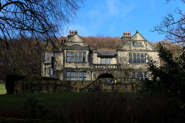
Higher Park Holmes
Downs, Moorland in Yorkshire
England
Higher Park Holmes

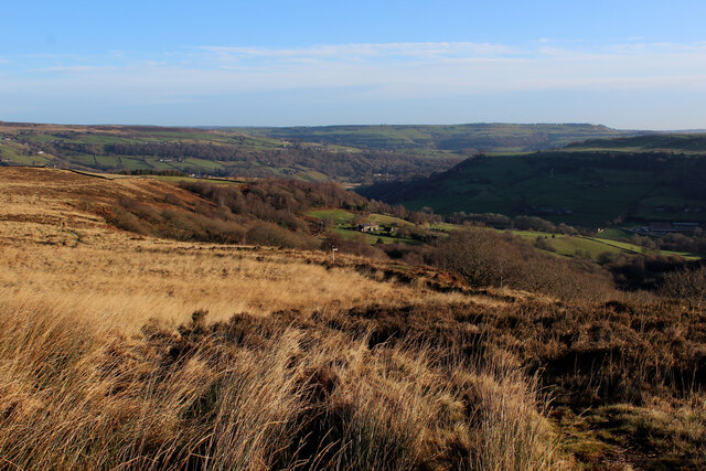
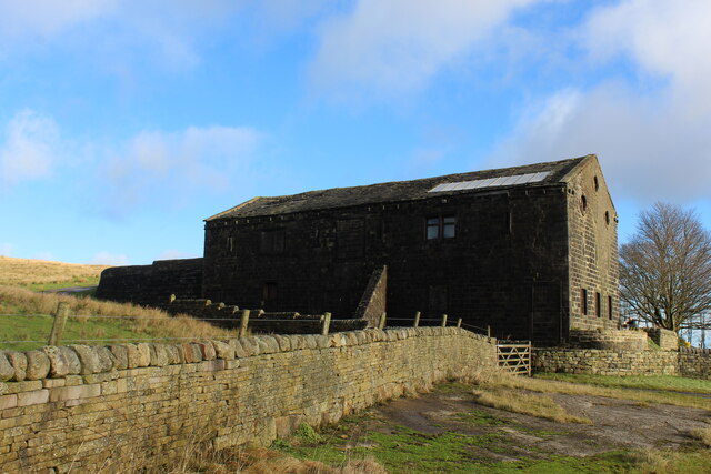
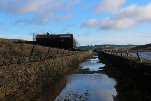
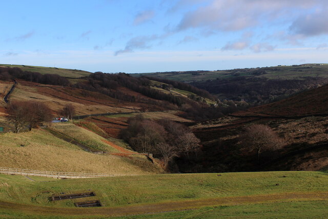
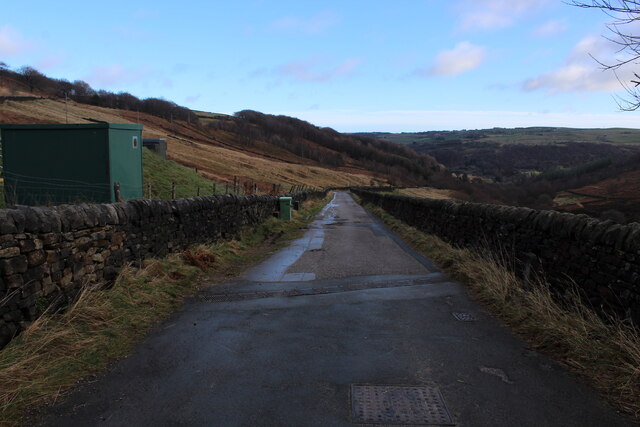
Higher Park Holmes is a picturesque area located in Yorkshire, England, known for its stunning landscapes that encompass both downs and moorland. Situated in the heart of the Yorkshire Dales, this region attracts nature enthusiasts and outdoor adventurers alike.
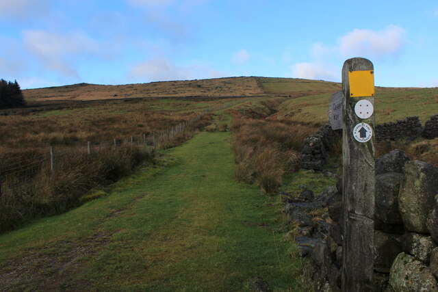
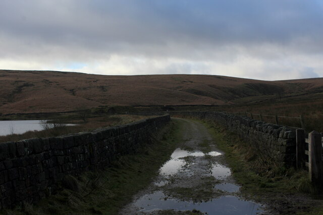
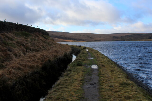
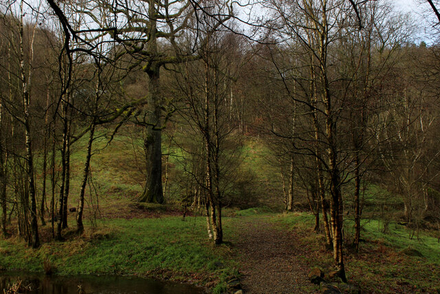
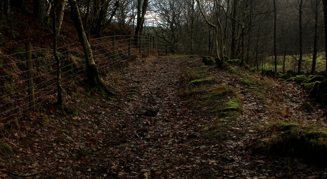
The downs of Higher Park Holmes are characterized by their rolling hills and wide open spaces. The lush greenery and panoramic views make it an ideal spot for hiking, walking, and picnicking. The area is home to a variety of wildlife, including rabbits, hares, and various bird species, making it a haven for nature lovers and birdwatchers.
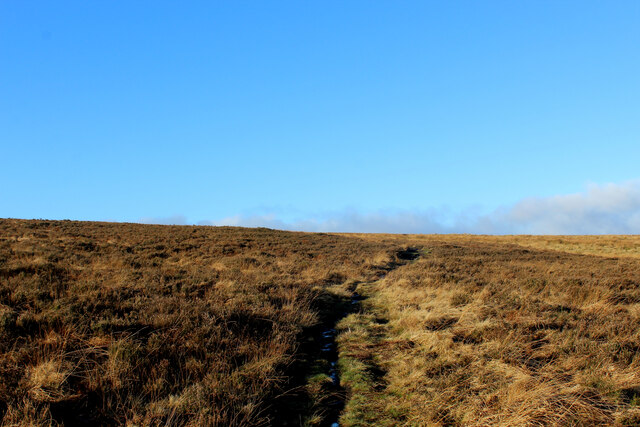
On the other hand, the moorland in Higher Park Holmes offers a completely different experience. With its vast expanses of heather-covered hills, this rugged terrain provides a unique and wild beauty. The moorland is a popular destination for outdoor activities such as mountain biking, horseback riding, and even rock climbing.
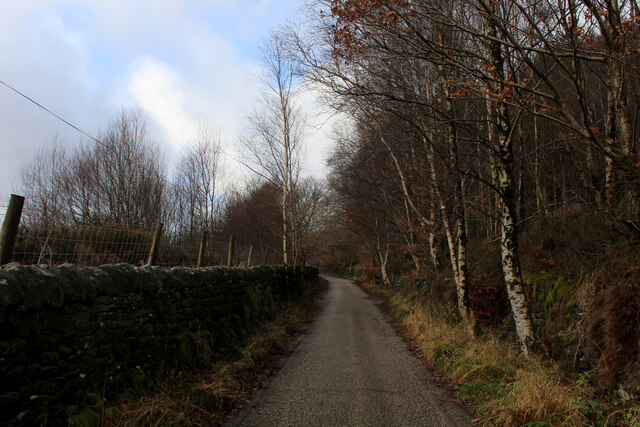
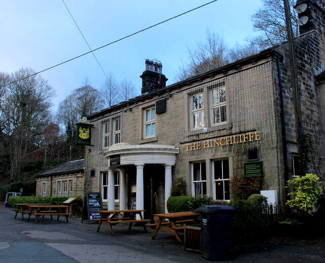
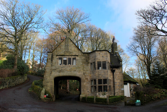
In addition to its natural wonders, Higher Park Holmes boasts a rich cultural heritage. The area is dotted with traditional Yorkshire stone cottages, charming villages, and historic landmarks. Visitors can explore ancient ruins, such as castles and abbeys, which offer a glimpse into the region's fascinating history.
Whether you are seeking tranquility in the downs or adventure on the moorland, Higher Park Holmes offers a diverse range of experiences. From its breathtaking landscapes to its cultural treasures, this Yorkshire gem promises a memorable visit for all who come to explore its beauty.
If you have any feedback on the listing, please let us know in the comments section below.
Higher Park Holmes Images
Images are sourced within 2km of 53.70449/-2.0217152 or Grid Reference SD9823. Thanks to Geograph Open Source API. All images are credited.


Higher Park Holmes is located at Grid Ref: SD9823 (Lat: 53.70449, Lng: -2.0217152)
Division: West Riding
Unitary Authority: Calderdale
Police Authority: West Yorkshire
What 3 Words
///meatballs.sounding.dairy. Near Mytholmroyd, West Yorkshire
Nearby Locations
Related Wikis

Stoodley Pike
Stoodley Pike is a 1,300-foot (400 m) hill in the south Pennines in West Yorkshire in northern England. It is noted for the 121-foot (37 m) Stoodley Pike...

Cragg Vale
Cragg Vale is a village in Calderdale, West Yorkshire, England, located south of Mytholmroyd on the B6138 road which joins the A58 and the A646. The village...

Upper Calder Valley
The Upper Calder Valley lies in West Yorkshire, in northern England, and covers the towns of Todmorden, Hebden Bridge, Mytholmroyd, Luddendenfoot, and...

Mankinholes
Mankinholes is a hamlet in the Metropolitan Borough of Calderdale, in West Yorkshire, England. It is situated in the Pennines and the nearest town is Todmorden...

Eastwood, West Yorkshire
Eastwood is a place within the civil parish of Todmorden and Metropolitan Borough of Calderdale, in West Yorkshire, England. It lies 8 miles (12.9 km)...

Erringden
Erringden is a civil parish in the Metropolitan Borough of Calderdale in West Yorkshire, England. Previously it was a township within the chapelry of Heptonstall...

Eastwood (L&Y) railway station
Eastwood Railway Station served the village of Eastwood in the civil parish of Todmorden, West Yorkshire, England. The station opened with the line on...
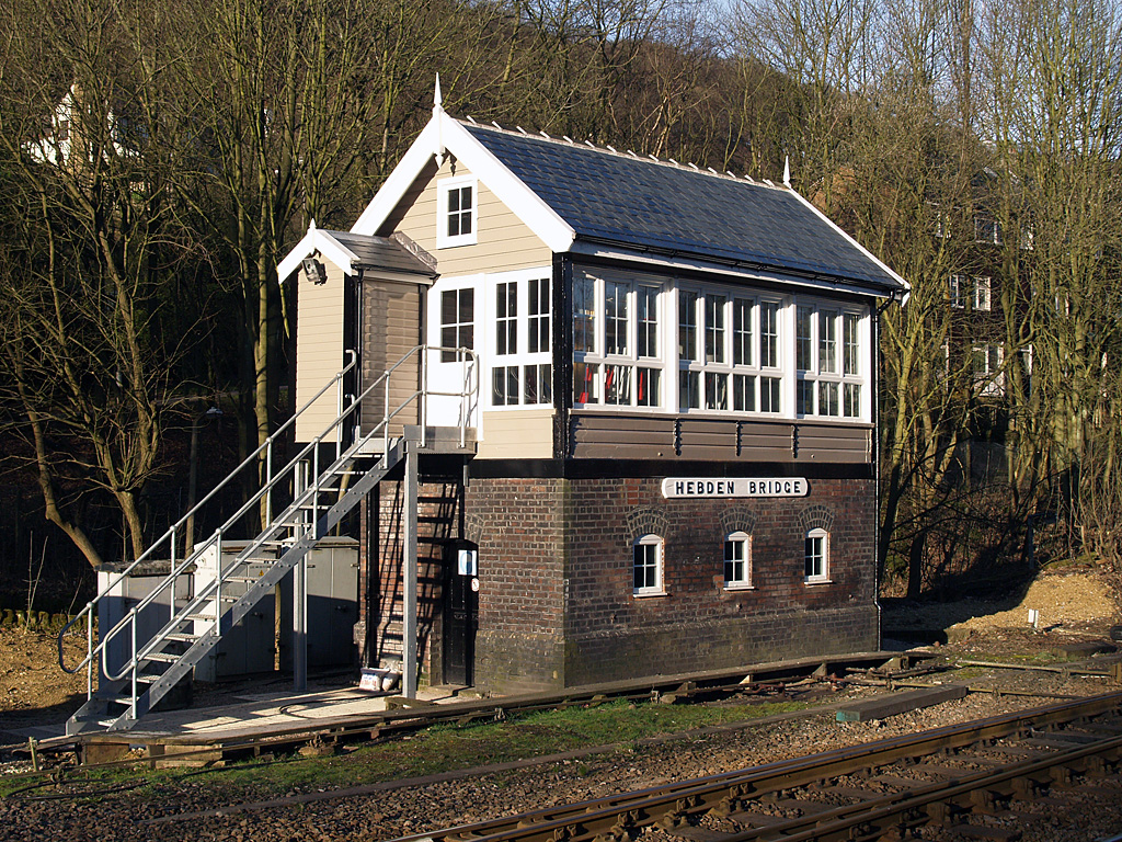
Hebden Bridge signal box
Hebden Bridge signal box is a Grade II listed former Lancashire and Yorkshire Railway signal box, located close to Hebden Bridge railway station in West...
Nearby Amenities
Located within 500m of 53.70449,-2.0217152Have you been to Higher Park Holmes?
Leave your review of Higher Park Holmes below (or comments, questions and feedback).