Withins Flat
Downs, Moorland in Yorkshire
England
Withins Flat

Withins Flat is a picturesque area located in the county of Yorkshire, England. Situated amidst the breathtaking landscapes of the Downs and Moorland, this region offers a perfect blend of natural beauty and tranquility.
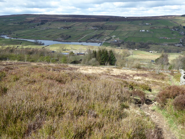
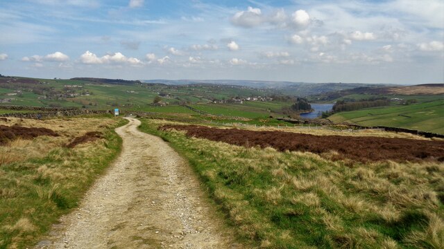
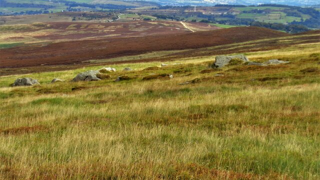
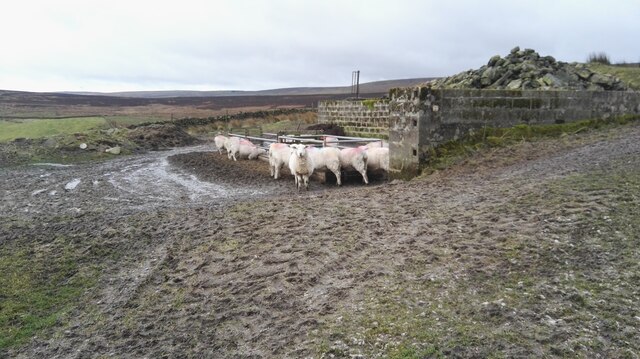
The Downs of Withins Flat are characterized by rolling hills and expansive meadows, providing a scenic backdrop for outdoor enthusiasts and nature lovers. The lush greenery and vibrant wildflowers create a stunning visual spectacle during the spring and summer months. The area is also home to a wide variety of wildlife, including rabbits, foxes, and numerous bird species.
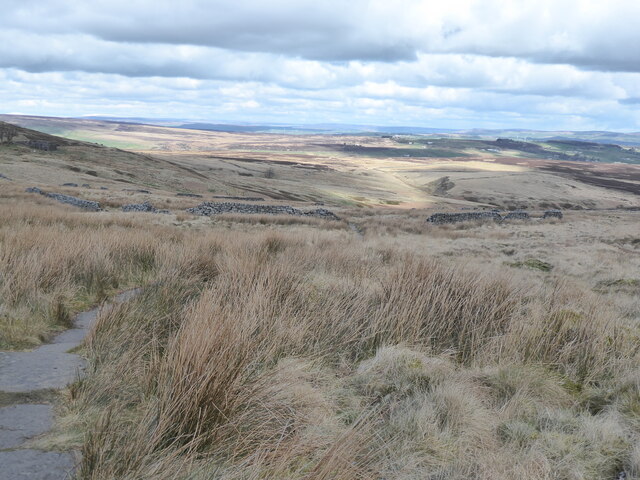
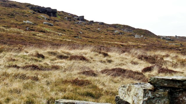
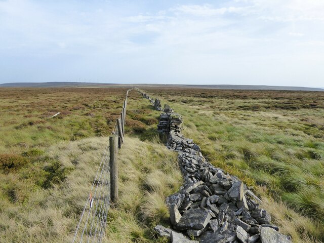
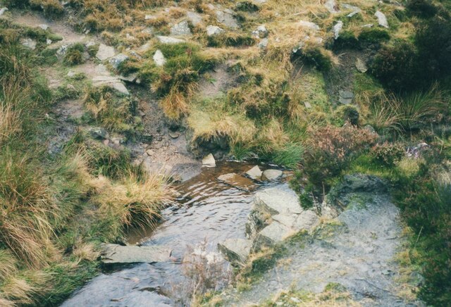
Adjacent to the Downs, the Moorland of Withins Flat offers a more rugged and untamed terrain. Dense heather covers the vast expanse of the moor, interspersed with rocky outcrops and winding streams. This diverse landscape attracts hikers and climbers, who come to explore the challenging trails and take in the panoramic views from the hilltops.
The tranquility of Withins Flat is further enhanced by its remote location and limited human presence. Visitors can escape the hustle and bustle of city life and immerse themselves in the serenity of the countryside. The absence of large-scale development and commercialization allows for a truly authentic experience of the natural world.
Withins Flat, Yorkshire, with its Downs and Moorland, is a haven for those seeking respite in nature. Whether it's walking along the rolling hills, admiring the vibrant moorland, or simply enjoying the peaceful ambiance, this area offers a unique and unforgettable experience for all who visit.
If you have any feedback on the listing, please let us know in the comments section below.
Withins Flat Images
Images are sourced within 2km of 53.812077/-2.0213614 or Grid Reference SD9835. Thanks to Geograph Open Source API. All images are credited.


Withins Flat is located at Grid Ref: SD9835 (Lat: 53.812077, Lng: -2.0213614)
Division: West Riding
Unitary Authority: Bradford
Police Authority: West Yorkshire
What 3 Words
///majority.longingly.overlaid. Near Oxenhope, West Yorkshire
Nearby Locations
Related Wikis

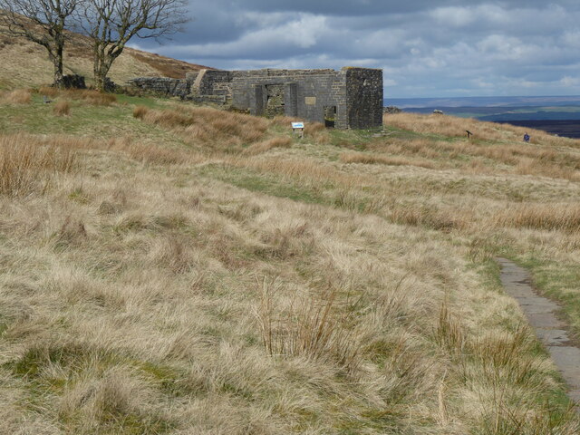
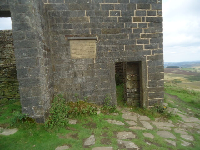
Top Withens
Top Withens (SD981353) (also known as Top Withins) is a ruined farmhouse near Haworth, West Yorkshire, England, which is said to have been the inspiration...

Ponden Hall
Ponden Hall is a farmhouse near Stanbury in West Yorkshire, England. It is famous for reputedly being the inspiration for Thrushcross Grange, the home...

Ponden Reservoir
Ponden Reservoir is an artificial upland lake in the Worth Valley, near Stanbury, West Yorkshire, England. Ponden was built as a compensation reservoir...

Scar Top
Scar Top is a farming hamlet near the tourist village of Haworth in the City of Bradford metropolitan borough, West Yorkshire in England. It is in the...

Walshaw Dean Reservoirs
Walshaw Dean Reservoirs are three reservoirs situated above Hebden Bridge, West Yorkshire, England. They are between Hebden Bridge and Top Withins, a ruined...

Stanbury
Stanbury is a village and former civil parish, now in the parish of Haworth and Stanbury, in the metropolitan borough of the City of Bradford in West Yorkshire...

Lower Laithe Reservoir
Lower Laithe Reservoir is a man-made upland reservoir that lies 1.2 miles (2 km) west of Haworth, West Yorkshire, England. The reservoir was initially...
Oldfield, West Yorkshire
Oldfield is a small hamlet within the county of West Yorkshire, England, situated north of Stanbury and near to Oakworth. It is approximately 6 miles...
Have you been to Withins Flat?
Leave your review of Withins Flat below (or comments, questions and feedback).