Tarn Moor Memorial Woodland 2002
Downs, Moorland in Yorkshire Craven
England
Tarn Moor Memorial Woodland 2002
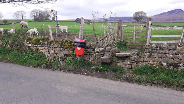
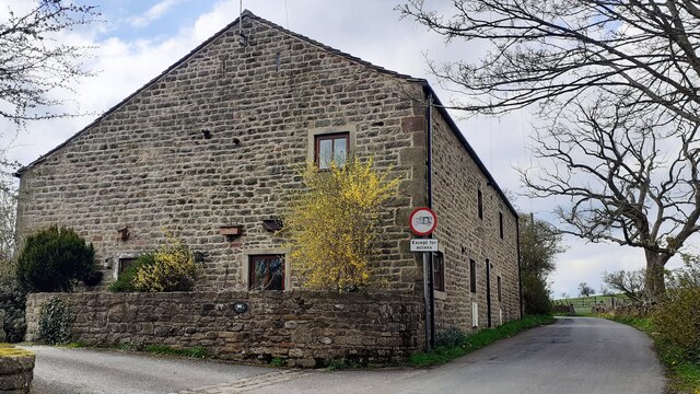
Tarn Moor Memorial Woodland, located in Yorkshire, England, was established in the year 2002 as a dedicated area for memorializing loved ones. Situated amidst the picturesque landscape of the Yorkshire Downs and Moorland, this woodland offers a serene and tranquil setting for remembrance and reflection.
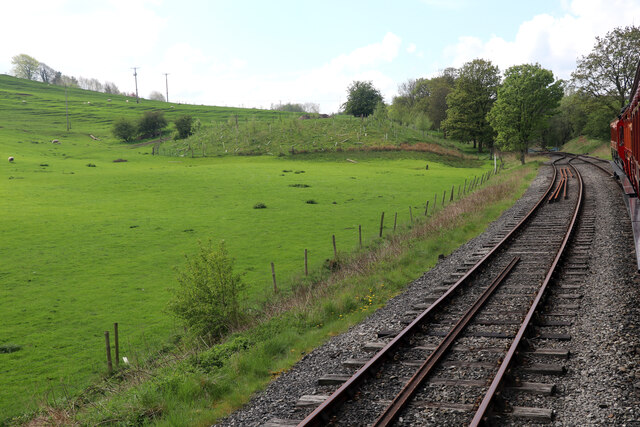
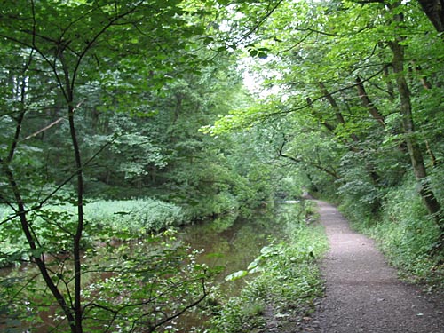
Covering a vast area, Tarn Moor Memorial Woodland is home to a diverse range of trees, including oak, birch, and pine, which create a beautiful and natural environment. The woodland is carefully maintained to ensure the preservation of its natural beauty, providing a peaceful sanctuary for visitors.
Visitors to Tarn Moor Memorial Woodland are able to purchase memorial trees, which are planted within the site. These trees serve as a lasting tribute to loved ones, with plaques displaying their names and any chosen dedications. The woodland offers a variety of tree species to choose from, allowing families to find a tree that resonates with their loved one's memory.
In addition to providing a place for personal remembrance, Tarn Moor Memorial Woodland also offers a range of facilities for visitors. There are walking paths throughout the woodland, allowing individuals to explore and appreciate the natural surroundings. Benches are strategically placed, providing spots for visitors to sit and reflect. The woodland is open to the public throughout the year, allowing people to visit at any time, whether to pay their respects or simply enjoy the tranquility of the environment.
Tarn Moor Memorial Woodland 2002 is a special place where nature and remembrance intertwine, providing solace and comfort to those who visit.
If you have any feedback on the listing, please let us know in the comments section below.
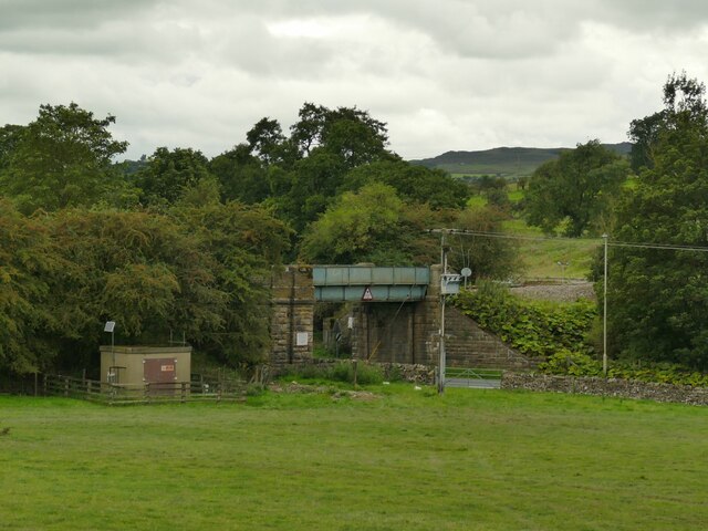
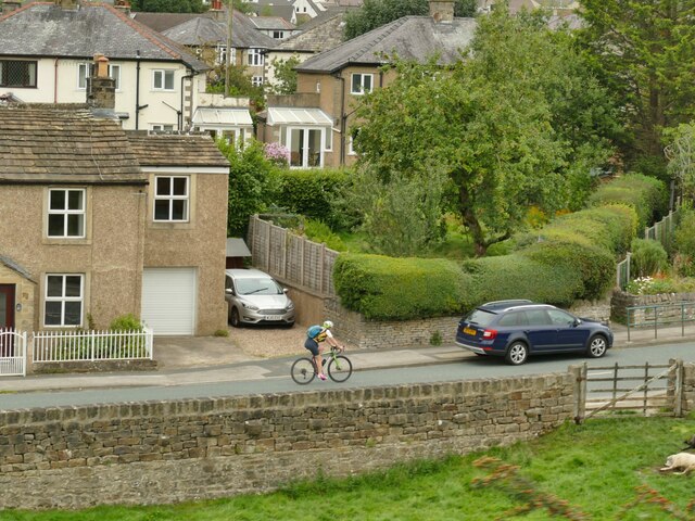
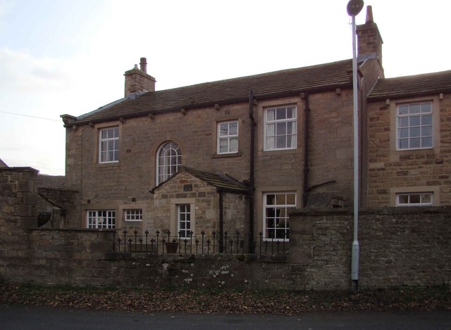
Tarn Moor Memorial Woodland 2002 Images
Images are sourced within 2km of 53.977353/-2.0252586 or Grid Reference SD9853. Thanks to Geograph Open Source API. All images are credited.


Tarn Moor Memorial Woodland 2002 is located at Grid Ref: SD9853 (Lat: 53.977353, Lng: -2.0252586)
Division: West Riding
Administrative County: North Yorkshire
District: Craven
Police Authority: North Yorkshire
What 3 Words
///equipping.cult.upward. Near Skipton, North Yorkshire
Nearby Locations
Related Wikis

Skipton Golf Club
Skipton Golf Club is a golf club located within the English county of North Yorkshire. Founded within 1893, the club was originally located a short distance...
Skipton Wood
Skipton Wood (also known as Skipton Castle Woods, Castle Wood or Springs Wood) is a 36-acre (15 ha) wood following the valley of Eller Beck to the north...

Skipton Girls' High School
Skipton Girls' High School, founded in 1886 by the Petyt Trust, is an all-girls selective grammar school situated in Skipton, North Yorkshire, England...
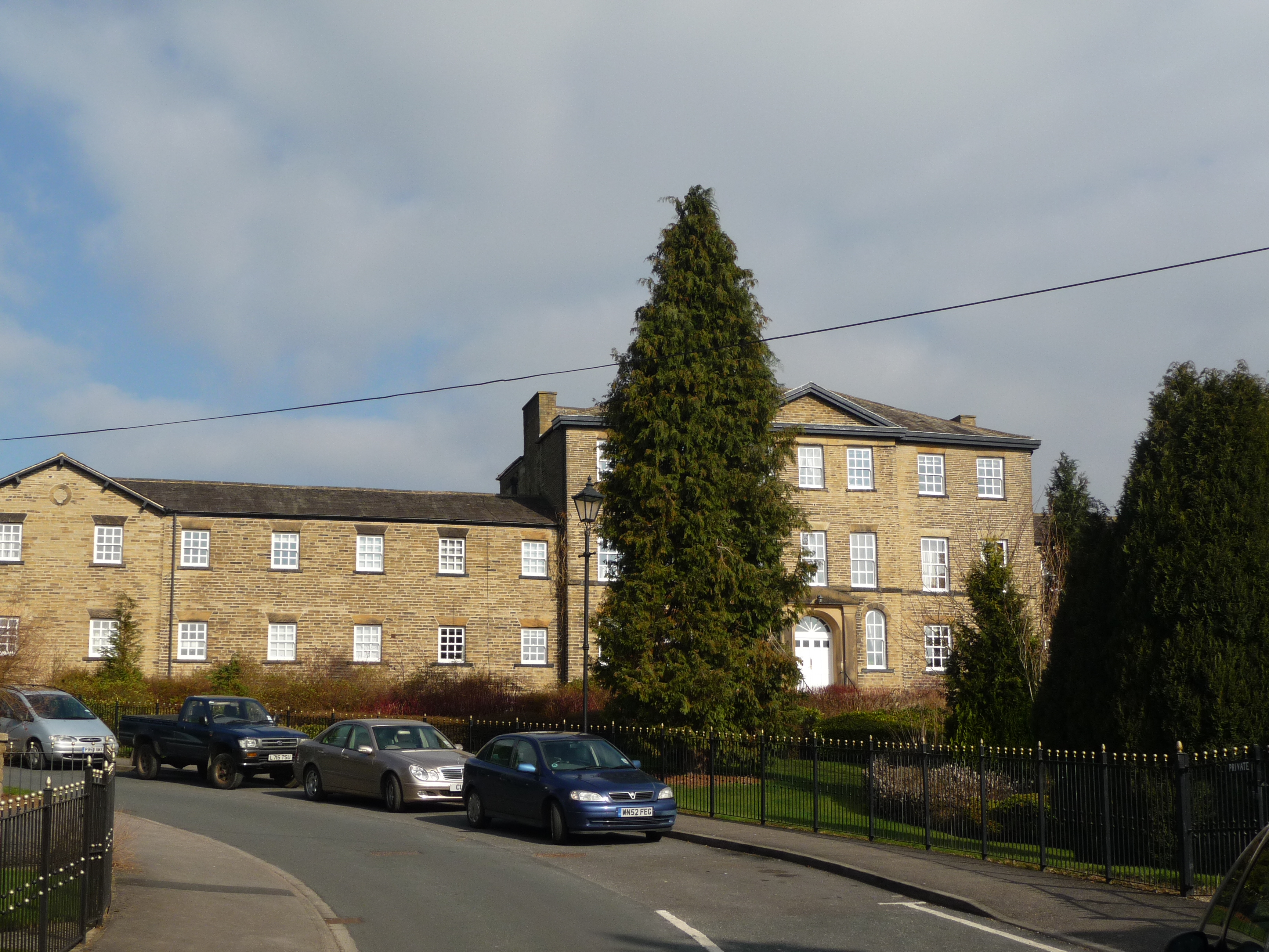
Raikeswood Hospital
Raikeswood Hospital was a health facility in Gargrave Road, Skipton, North Yorkshire, England. It has been converted for residential use and remains a...
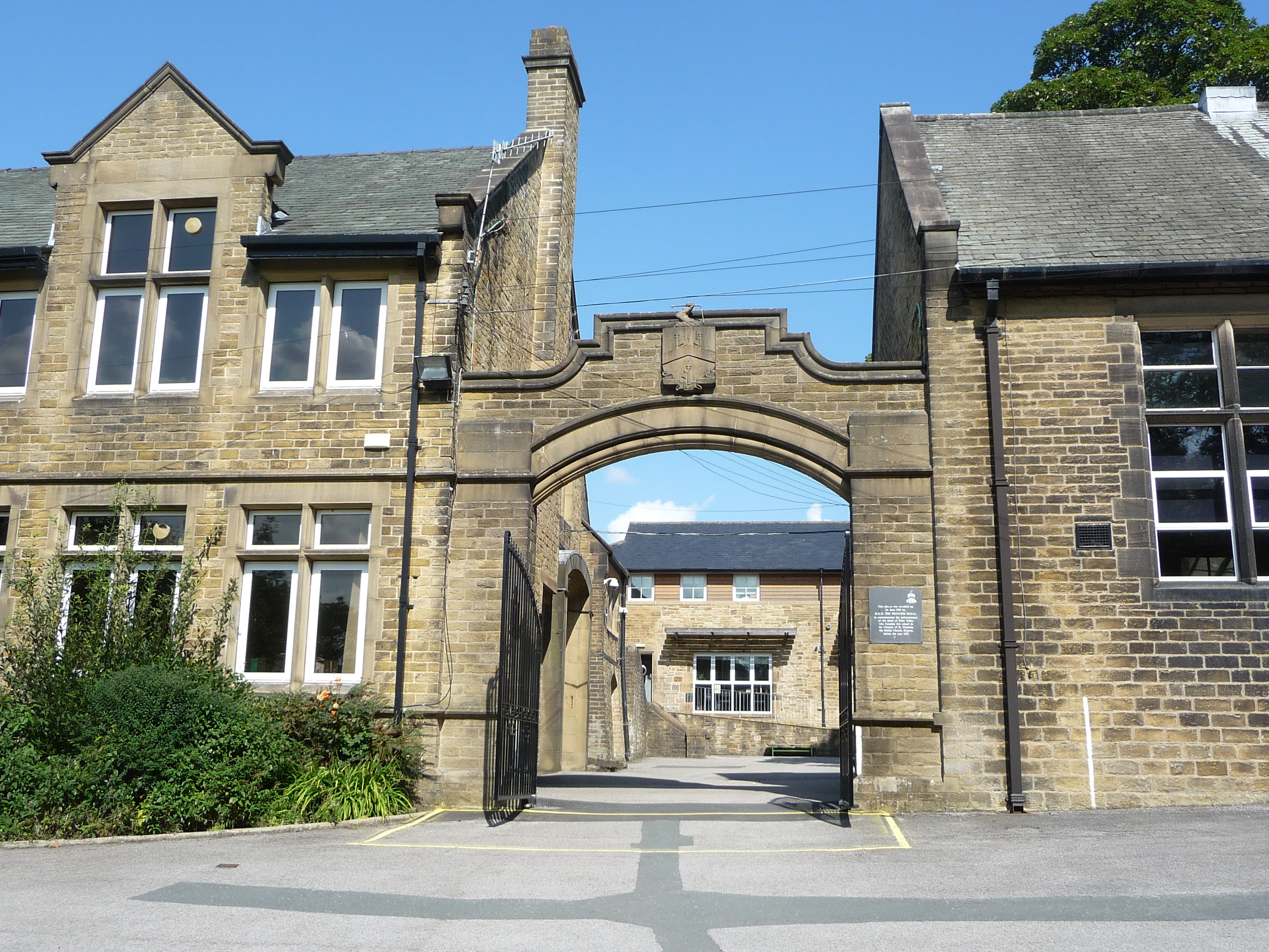
Ermysted's Grammar School
Ermysted's Grammar School is an 11-18 boys' voluntary aided grammar school in Skipton, North Yorkshire, England.It was founded by Peter Toller in the 15th...
St Stephen's Church, Skipton
St Stephen's Church is a Roman Catholic Parish church in Skipton, North Yorkshire, England. It is situated next to Ermysted's Grammar School close to the...

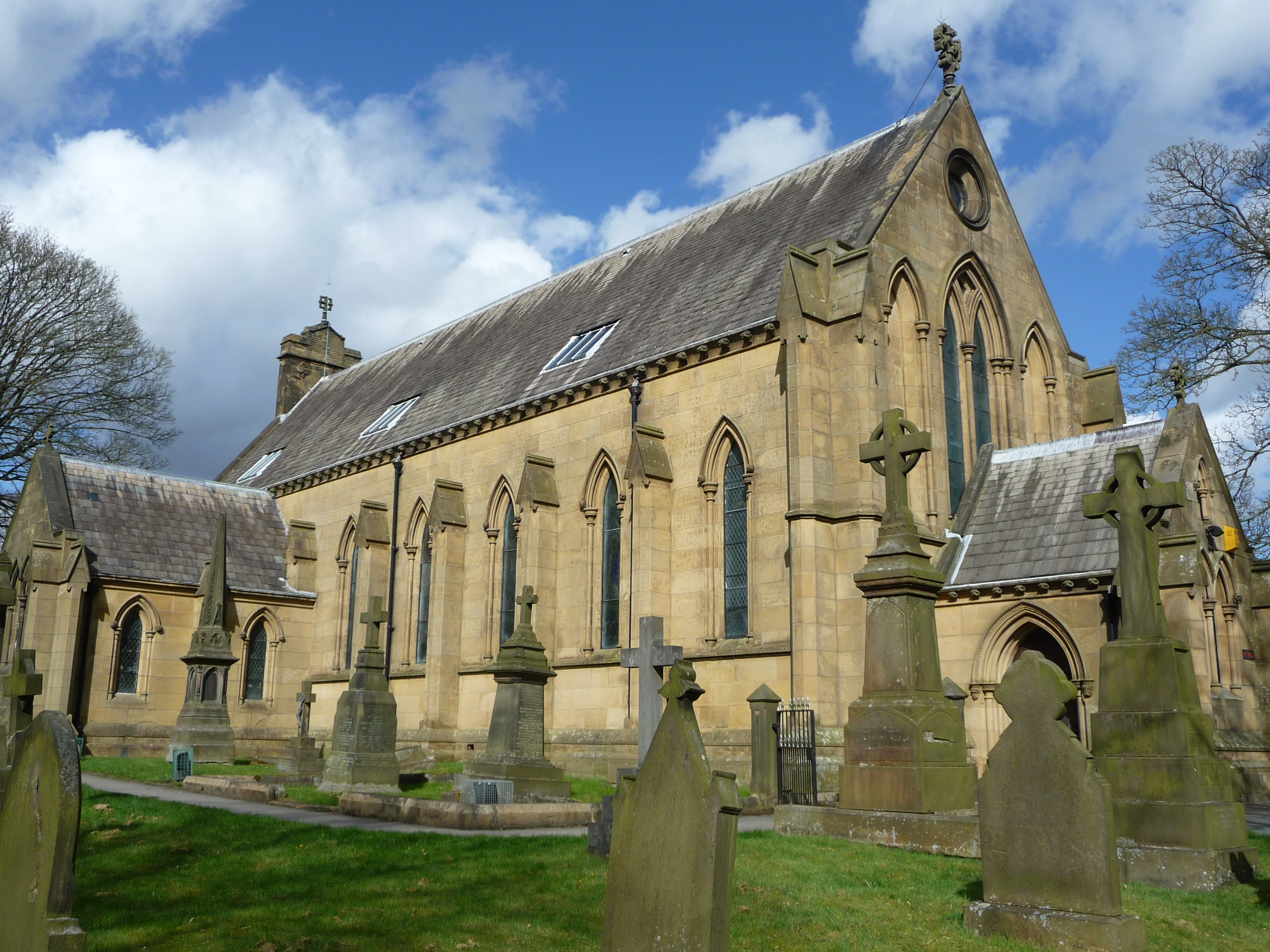
Holy Trinity Church, Skipton
Holy Trinity Church is in High Street, Skipton, North Yorkshire, England. Medieval in origin, the church is recorded in the National Heritage List for...
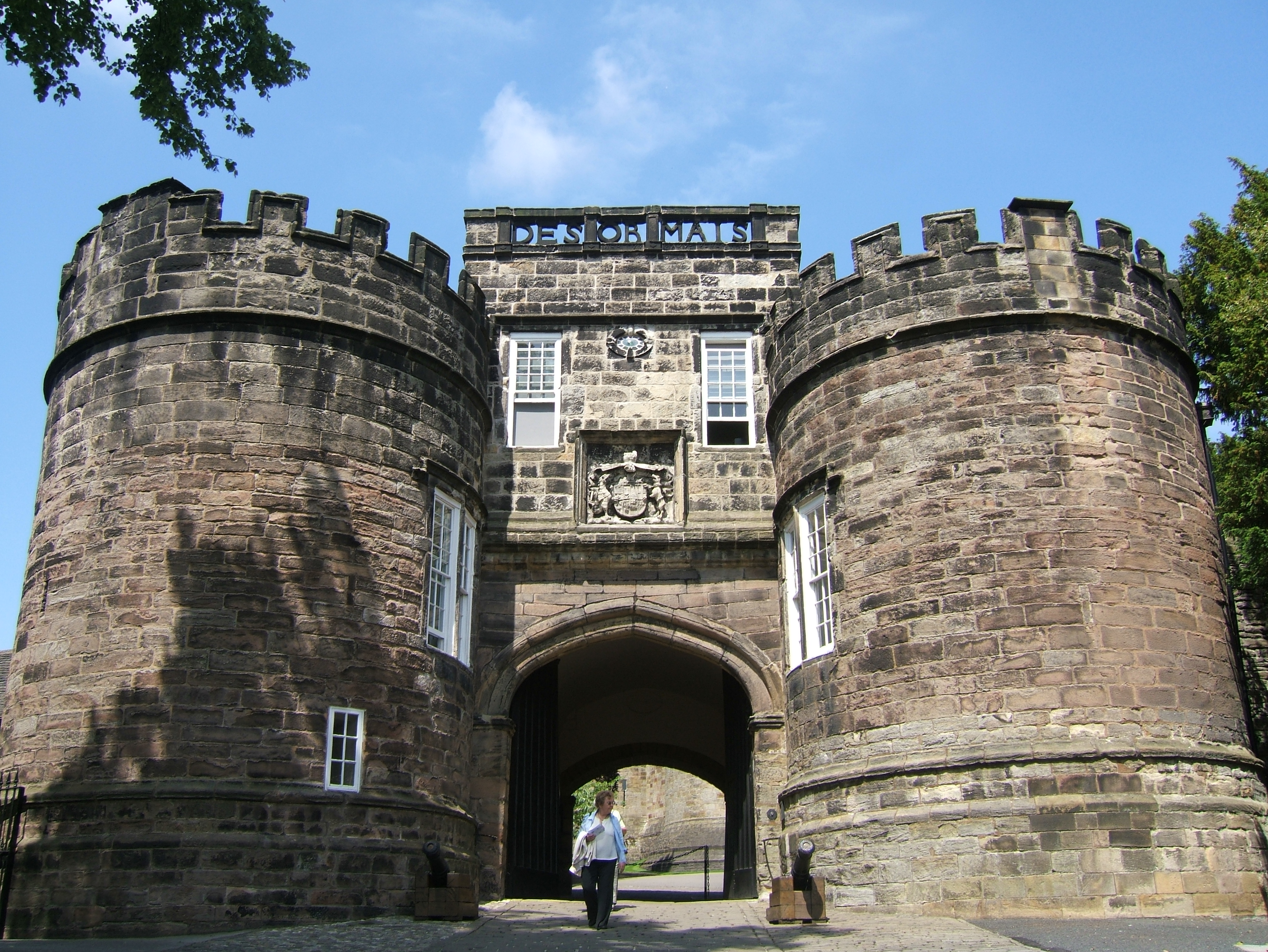
Skipton Castle
Skipton Castle is a Grade I Listed medieval castle in Skipton, North Yorkshire, England. It was built in 1090 by Robert de Romille, a Norman baron, and...
Nearby Amenities
Located within 500m of 53.977353,-2.0252586Have you been to Tarn Moor Memorial Woodland 2002?
Leave your review of Tarn Moor Memorial Woodland 2002 below (or comments, questions and feedback).