Crichton's Heath
Downs, Moorland in Dorset
England
Crichton's Heath
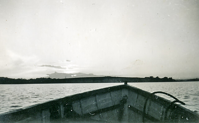
Crichton's Heath is a picturesque area located in the county of Dorset, England. Situated on the southern slopes of the Cranborne Chase, it is known for its stunning natural landscapes, encompassing both downs and moorland.
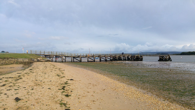
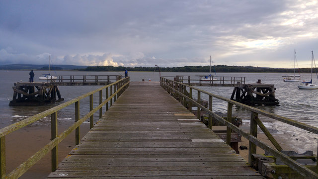
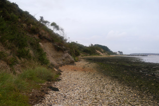
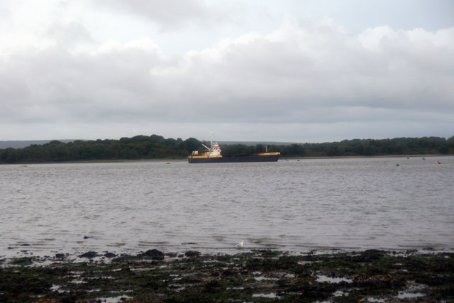
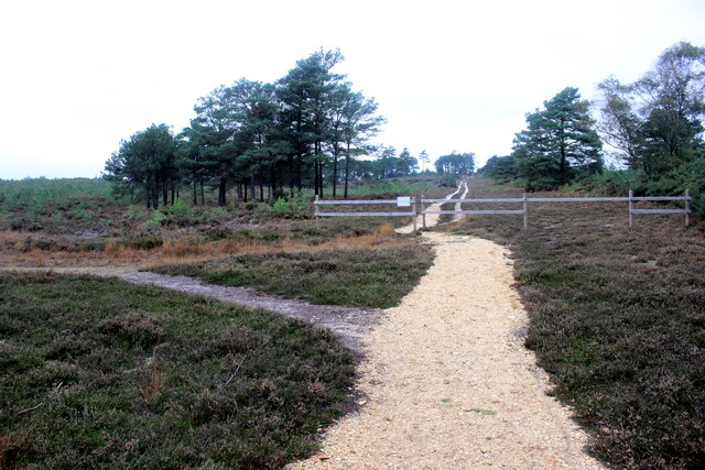
The downs of Crichton's Heath are characterized by their rolling hills and expansive grasslands. These open spaces provide breathtaking views of the surrounding countryside, with patches of vibrant wildflowers and occasional ancient trees dotting the landscape. The downs are also home to a variety of wildlife, including rabbits, foxes, and a diverse range of bird species, making it a popular spot for nature enthusiasts and birdwatchers.
In addition to the downs, Crichton's Heath boasts extensive moorland areas, characterized by their heathland vegetation and wide stretches of open space. Here, visitors can immerse themselves in the rugged beauty of the moorland, with its purple heather and gorse bushes creating a stunning contrast against the greenery of the surrounding hills.
Crichton's Heath offers numerous walking trails and paths, allowing visitors to explore the area at their leisure. These paths wind through the downs and moorland, taking walkers past ancient burial mounds, archaeological sites, and historical landmarks, showcasing the rich heritage of the area.
Overall, Crichton's Heath is a haven for nature lovers and those seeking tranquility in the heart of the English countryside. Its breathtaking landscapes, diverse wildlife, and historical significance make it a must-visit destination for anyone exploring Dorset.
If you have any feedback on the listing, please let us know in the comments section below.
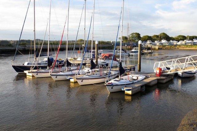
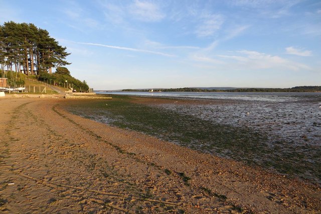
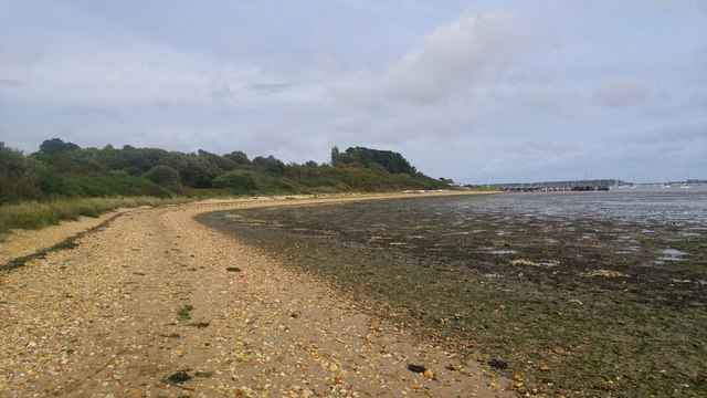
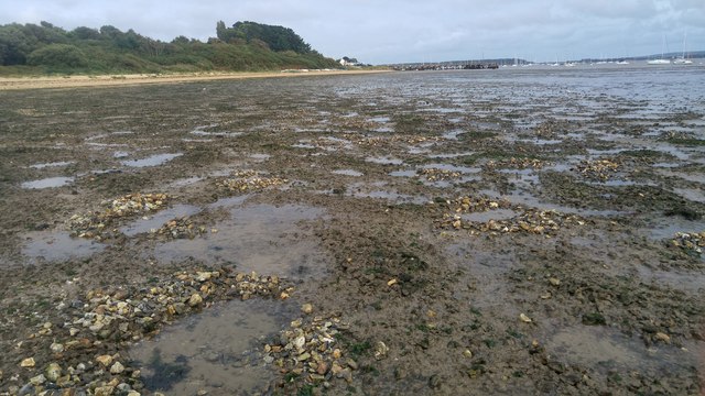
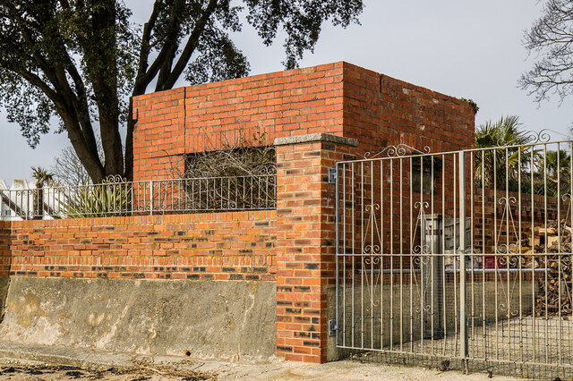
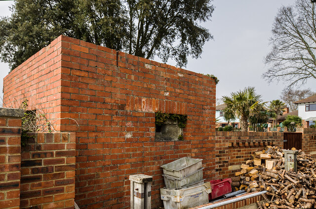
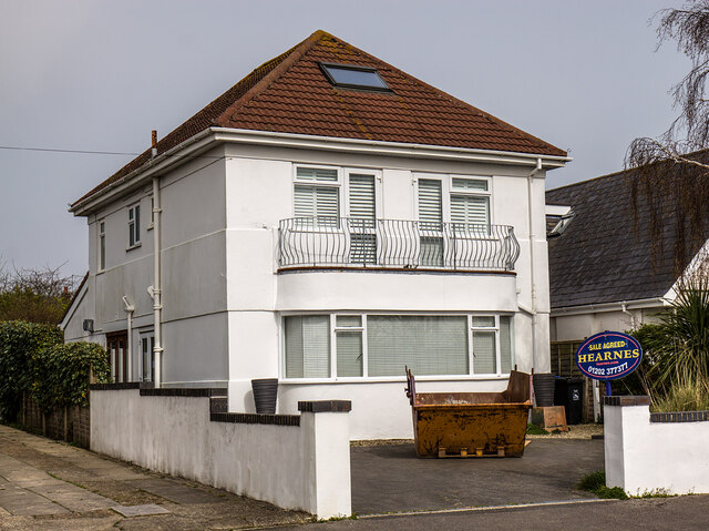
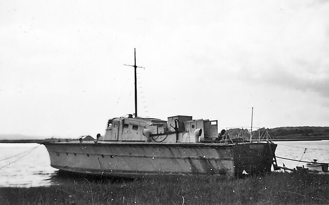
Crichton's Heath Images
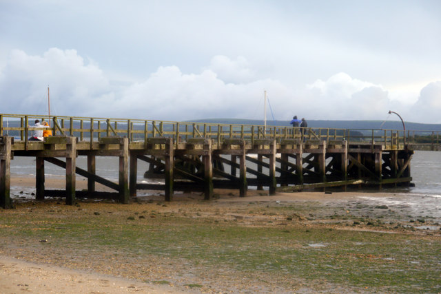
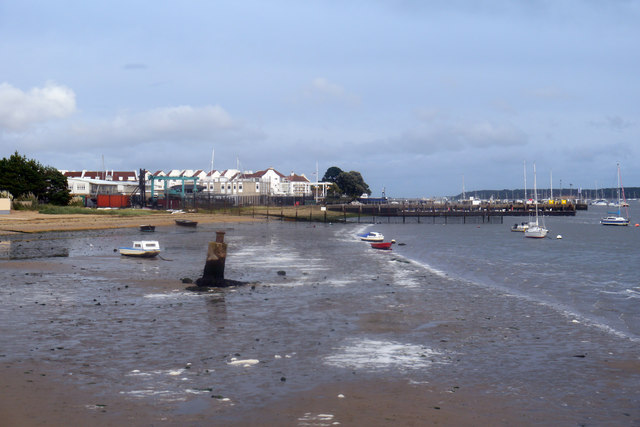
Images are sourced within 2km of 50.701679/-2.0378686 or Grid Reference SY9789. Thanks to Geograph Open Source API. All images are credited.
Crichton's Heath is located at Grid Ref: SY9789 (Lat: 50.701679, Lng: -2.0378686)
Unitary Authority: Dorset
Police Authority: Dorset
What 3 Words
///encounter.maker.drops. Near Poole, Dorset
Nearby Locations
Related Wikis
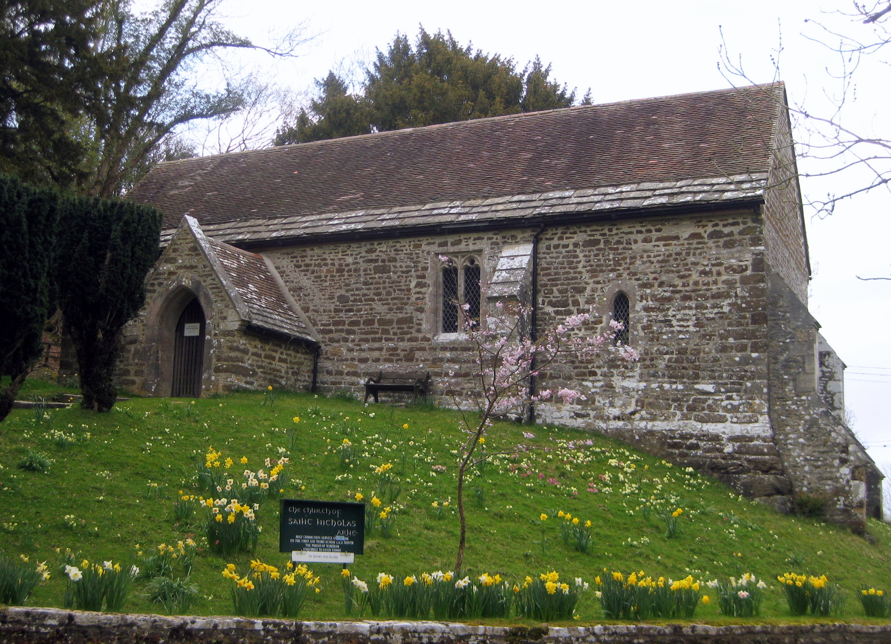
Arne, Dorset
Arne is a village and civil parish in Dorset, England, situated 4 miles (6.4 km) east of Wareham. The local travel links are located at Wareham railway...

Hamworthy Beach
Hamworthy Beach is situated between the Marine Camp and Rockley Sands in Poole Bay, Dorset, known to locals but more difficult to find for outsiders. The...
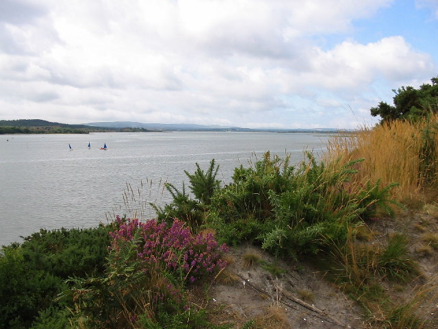
Ham Common, Dorset
Ham Common is a Local Nature Reserve at Hamworthy, near Poole, Dorset. Located on the north west shores of Poole Harbour, it is predominantly a heathland...

Long Island (Dorset)
Long Island is an uninhabited island in Poole Harbour in the English county of Dorset. It lies just off the shore of the Arne Peninsular in the south-west...
Nearby Amenities
Located within 500m of 50.701679,-2.0378686Have you been to Crichton's Heath?
Leave your review of Crichton's Heath below (or comments, questions and feedback).